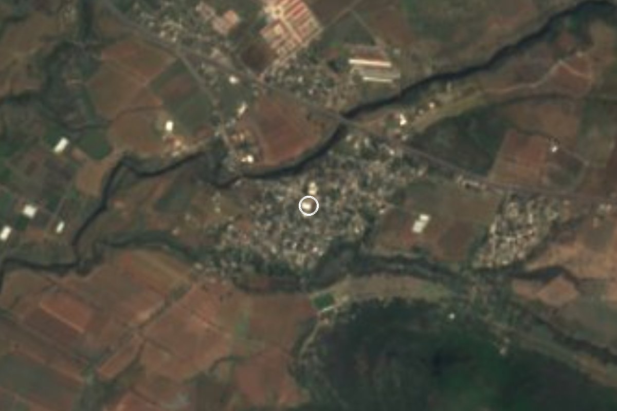
Village Ayala, Morelos Municipality of Ayala
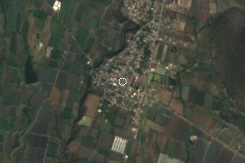
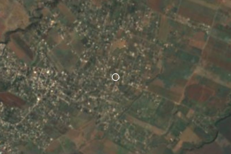
Village in Ayala at 1,367 m, about 10 km from Cuautla; its Nahuatl name means place of fresh water.
From Cuautla: 15 min by car (13 km by road) How to get there ↓
Near here
See everything nearby ↓

Plan your visit to Tlayecac
Where to stay near Tlayecac
Compare hotels, posadas and guest houses in Tlayecac.
Tours to Tlayecac
Day trips and guided outings from Tlayacapan often include Tlayecac; with a local guide you can get there without a car.
How to get to Tlayecac
- From Cuautla: about 15 min by road (~13 km)
- Nearest airport: Mexico City (MEX), 1 h 33 min by car to Tlayacapan
Links open a partner site. We may earn a commission if you book, at no cost to you.
About Tlayecac
The name Tlayecac is Nahuatl and joins the words for land, good and water with a place ending; Spanish Wikipedia translates it as "place of drinking water" or "of fresh water". It stands at 1,367 m above sea level in the municipality of Ayala, the same one as Anenecuilco, where Emiliano Zapata was born.
The censuses tell its recent story well. In 1900 there were 383 people; in 1921, with the fighting over, only 192 were left; by 1950 there were 415. From 1970 growth sped up: 883 people that year, 1,609 in 1980, 2,338 in 2000 and 2,879 in 2020. The 1921 drop coincides with the Revolution years, and the later rise is that of a village that has grown for half a century a few kilometres from Cuautla.
Today it is a locality of quiet streets beside the Cuautla-Izúcar de Matamoros road, where property listings place it. We found no reliable sources on its church, patron-saint fiesta or monuments, so this page does not describe them: if you go, ask the neighbours about the chapel and the festival calendar. For someone touring the region it is a brief stop between Cuautla and southern Puebla rather than a destination in itself.
How to get to Tlayecac
Drive from Cuautla: 15 min, 13 km
Tlayecac is about 10 km from Cuautla (roughly 15 to 20 minutes by car) and belongs to the municipality of Ayala. Several property listings place addresses on the Cuautla-Izúcar de Matamoros road and the federal México-Oaxaca road inside the locality, so you reach it by leaving Cuautla to the south and east, toward Ayala and Anenecuilco, along that road.
From Mexico City, the practical way is to reach Cuautla on the México-Cuautla toll road (160D), with buses leaving from TAPO and from Terminal Sur Taxqueña, and continue by car, taxi or colectivo. We found no published combi route: ask at the Cuautla stops for units toward Ayala and Tlayecac. Tlayacapan, the nearest pueblo in this guide, is about 25 km away in a straight line, so plan the visit from Cuautla.
Directions to Tlayecac on Google Maps
Distances are in a straight line; the road is usually longer.
Links open a partner site. We may earn a commission if you book, at no cost to you.
From the nearest cities to Tlayecac
- Cuautla · 13 km by road, 15 min
- Atlixco · 65 km by road, 50 min
- Cuernavaca · 63 km by road, 55 min
Drive times by road from OpenStreetMap, without traffic or stops. Times marked ~ are estimated from the straight-line distance.
Visiting Tlayecac: what to see and do
Walk the village streets, at 1,367 m.
Ask about the chapel and its patron-saint fiesta.
Continue toward Anenecuilco, Zapata's birthplace, in the same municipality.
Ask the neighbours about pre-Hispanic remains in the area.
Plan your trip
Places to stay in Tlayecac
Compare hotels, posadas, and rentals in and around Tlayecac.
Tours & activities
Day trips and guided outings from Tlayacapan often include Tlayecac; with a local guide you can get there without a car.
Rental cars
Pick up a car at MEX (Mexico City): about 1 h 33 min by road to Tlayacapan, then 25 km more to Tlayecac, on your own schedule.
Flights
The nearest airport with scheduled flights is Mexico City (MEX), about 1 h 33 min by road from Tlayacapan, the base for Tlayecac.
Mobile data
Signal can drop away from Tlayacapan: download a map of the way to Tlayecac before you set out, or carry an eSIM with data.
Links open a partner site. We may earn a commission if you book, at no cost to you.
When to go to Tlayecac mild
Tlayecac shares the climate of Tlayacapan, 25 km away. The best months to visit are January, February, March, and December.
See the month-by-month climate of Tlayacapan
Weather in Tlayecac now and the next 7 days
Live forecast from Open-Meteo. Chance of rain is the day's highest.
The closest Pueblo Mágico: Tlayacapan

Tlayacapan is the Pueblo Mágico closest to Tlayecac, with places to stay, food, and more to see.
Also close to
- Tlaltizapán · Morelos · 29 km away
- Tepoztlán · Morelos · 34 km away
- Xochitepec · Morelos · 45 km away
- Atlixco · Puebla · 51 km away
- Huejotzingo · Puebla · 67 km away
Closest to Tlayecac
-
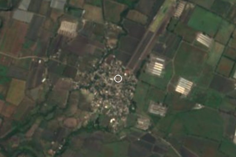
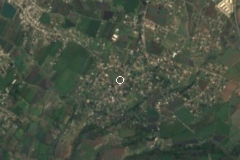
Las Llaves · Village · 3 km away
-
Mariano Matamoros · Village · 3 km away
-
Diez de Abril · Village · 4 km away
-
Jaloxtoc · Village · 5 km away
-
Huexca · Village · 6 km away
-
Mixtlalcingo · Village · 6 km away
-
Huitzililla · Village · 7 km away
-
Las Arboledas · Village · 7 km away
Near Tlayecac

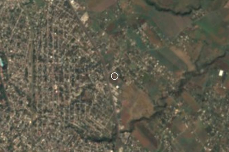





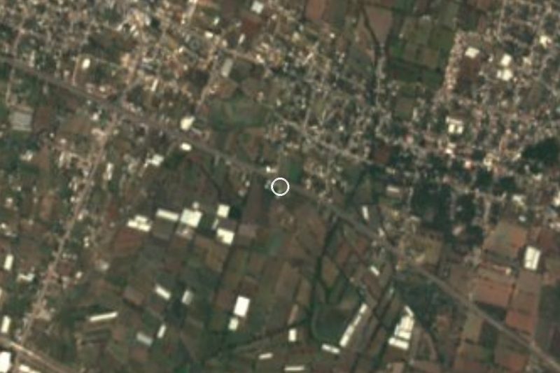


Drive times by road from OpenStreetMap, without traffic. Times marked ~ are estimated from the straight-line distance.
Location from OpenStreetMap. Written by Puebloteca.