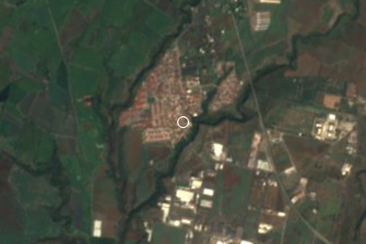
Village Ayala, Morelos Municipality of Ayala
A housing district in Ayala, Morelos, named for the day Zapata was killed in neighbouring Chinameca; 1,460 residents in 2020.
From Cuautla: 20 min by car (14 km by road) How to get there ↓
Near here
See everything nearby ↓
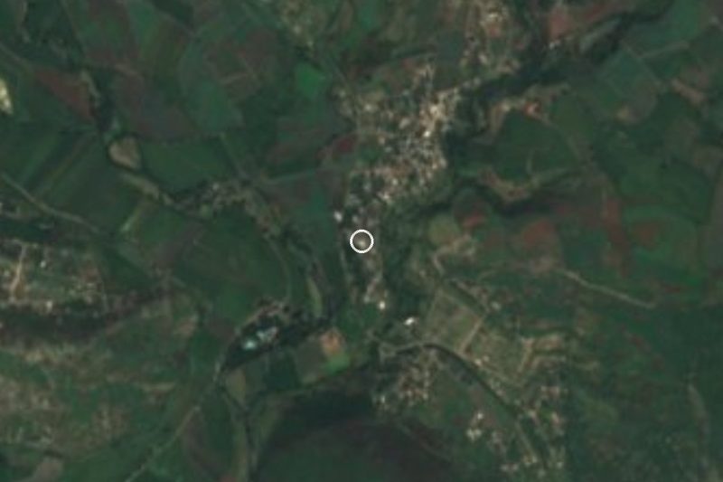

Plan your visit to Diez de Abril
Where to stay near Diez de Abril
Compare hotels, posadas and guest houses in Diez de Abril.
Tours to Diez de Abril
Day trips and guided outings from Tlayacapan often include Diez de Abril; with a local guide you can get there without a car.
 Tours from Cuernavaca
3hr Cooking Class in Cuernavaca 8 Recipes and Bottomless Drinks
From US$59
How to get to Diez de Abril
- From Cuautla: about 20 min by road (~14 km)
- Nearest airport: Mexico City (MEX), 1 h 33 min by car to Tlayacapan
Links open a partner site. We may earn a commission if you book, at no cost to you.
Tours from Cuernavaca, near Diez de Abril


Tours, prices and ratings from Viator, checked weekly. We may earn a commission if you book.
About Diez de Abril
The name is a date: on 10 April 1919 Emiliano Zapata was ambushed and killed at the Chinameca hacienda, and the day became one of national mourning. Chinameca is the neighbouring locality of Diez de Abril, in the south of the municipality of Ayala, and the old hacienda is now a museum to the memory of the Caudillo del Sur. Anyone coming for the history should know that the ambush site is in Chinameca, not in this colonia, which simply borrows the date.
INEGI lists it as Unidad Habitacional 10 de Abril, at about 1,285 m above sea level. Its population went from 501 in 1990 to 1,655 in 2000, dipped to 1,531 in 2010 and stood at 1,460 in 2020 (757 women and 703 men), which makes it the 14th largest of the municipality's 149 localities. It sits among other housing developments, such as Residencial Los Sauces, Huertas de Cuautla and Valle del Pedregal, and just over a kilometre from the Parque Industrial Cuautla.
Services are nearly complete: 99% of homes have piped water and electricity, 58% have internet, and average schooling is 10.7 years, high for a rural locality. To the southwest rises Cerro El Castillo (1,433 m), about 3 km away. The climate is warm and semi-arid, averaging 21.8 °C a year with about 1,127 mm of rain, mostly in summer.
How to get to Diez de Abril
Drive from Cuautla: 20 min, 14 km
Diez de Abril lies about 9 km in a straight line from Cuautla and about 6 km southeast of Ciudad Ayala, the municipal seat. From Mexico City the usual route is to reach Cuautla first (federal highway 160 shares its route with 115 as far as Cuautlixco, north of the city; by bus, Pullman de Morelos from the Taxqueña Terminal Sur or Volcanes from TAPO) and then continue south on Ayala's local roads, about 15 minutes by car.
By public transport the simplest option is a colectivo from Cuautla toward Ayala or Chinameca, getting off in the area; we found no published timetable or route, so ask when you board. From Tlayacapan it is about 23 km as the crow flies and nearly 40 minutes by road via Cuautla. There is no hotel in the locality itself: the nearest are 6 or 7 km away, to the north toward Cuautla.
Directions to Diez de Abril on Google Maps
Distances are in a straight line; the road is usually longer.
Links open a partner site. We may earn a commission if you book, at no cost to you.
From the nearest cities to Diez de Abril
- Cuautla · 14 km by road, 20 min
- Cuernavaca · 65 km by road, 1 h
- Atlixco · 72 km by road, 1 h
Drive times by road from OpenStreetMap, without traffic or stops. Times marked ~ are estimated from the straight-line distance.
Visiting Diez de Abril: what to see and do
Visit the Chinameca hacienda museum, where Zapata died, in the neighbouring locality.
Walk the streets of the unit and the housing developments around it.
Look up at Cerro El Castillo (1,433 m), about 3 km southwest.
Pass the Parque Industrial Cuautla, just over 1 km to the southeast.
Go into Cuautla, about 9 km away, for a meal and a room.
Plan your trip
Places to stay in Diez de Abril
Compare hotels, posadas, and rentals in and around Diez de Abril.
Tours & activities
Day trips and guided outings from Tlayacapan often include Diez de Abril; with a local guide you can get there without a car.
Rental cars
Pick up a car at MEX (Mexico City): about 1 h 33 min by road to Tlayacapan, then 23 km more to Diez de Abril, on your own schedule.
Flights
The nearest airport with scheduled flights is Mexico City (MEX), about 1 h 33 min by road from Tlayacapan, the base for Diez de Abril.
Mobile data
Signal can drop away from Tlayacapan: download a map of the way to Diez de Abril before you set out, or carry an eSIM with data.
Links open a partner site. We may earn a commission if you book, at no cost to you.
When to go to Diez de Abril mild
Diez de Abril shares the climate of Tlayacapan, 23 km away. The best months to visit are January, February, March, and December.
See the month-by-month climate of Tlayacapan
Weather in Diez de Abril now and the next 7 days
Live forecast from Open-Meteo. Chance of rain is the day's highest.
The closest Pueblo Mágico: Tlayacapan

Tlayacapan is the Pueblo Mágico closest to Diez de Abril, with places to stay, food, and more to see.
Also close to
- Tlaltizapán · Morelos · 25 km away
- Tepoztlán · Morelos · 32 km away
- Xochitepec · Morelos · 42 km away
- Atlixco · Puebla · 54 km away
- Malinalco · Estado de México · 65 km away
Closest to Diez de Abril
-
Constancio Farfán · Village · 4 km away
-
Jaloxtoc · Village · 4 km away
-
Las Arboledas · Village · 4 km away
-
Tlayecac · Village · 4 km away
-
Benito Juárez · Village · 5 km away
-
San Juan Ahuehueyo · Village · 5 km away
-
Tenextepango · Village · 5 km away
-
Juan Morales · Village · 6 km away


Near Diez de Abril
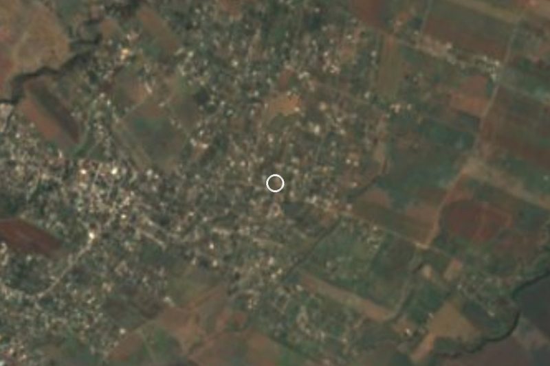
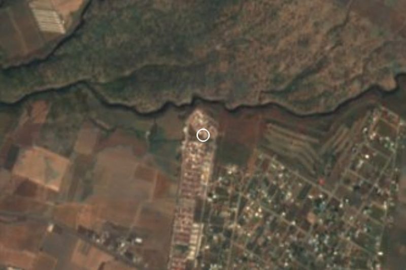





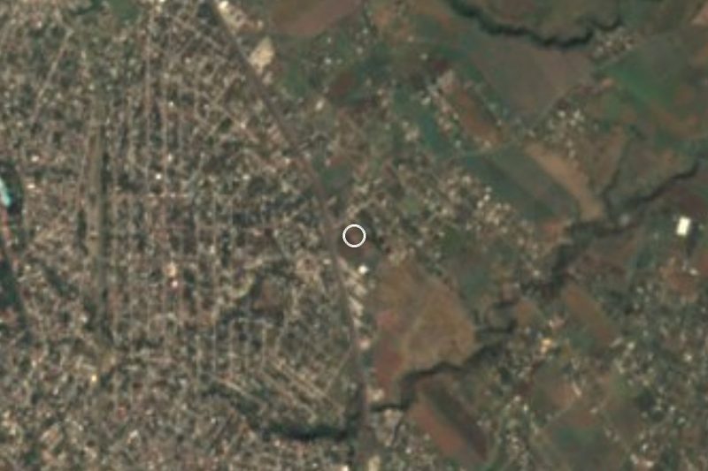



Drive times by road from OpenStreetMap, without traffic. Times marked ~ are estimated from the straight-line distance.
Location from OpenStreetMap. Written by Puebloteca.