Village Yecapixtla, Morelos Municipality of Yecapixtla Monasteries on the slopes of Popocatépetl Northern Morelos
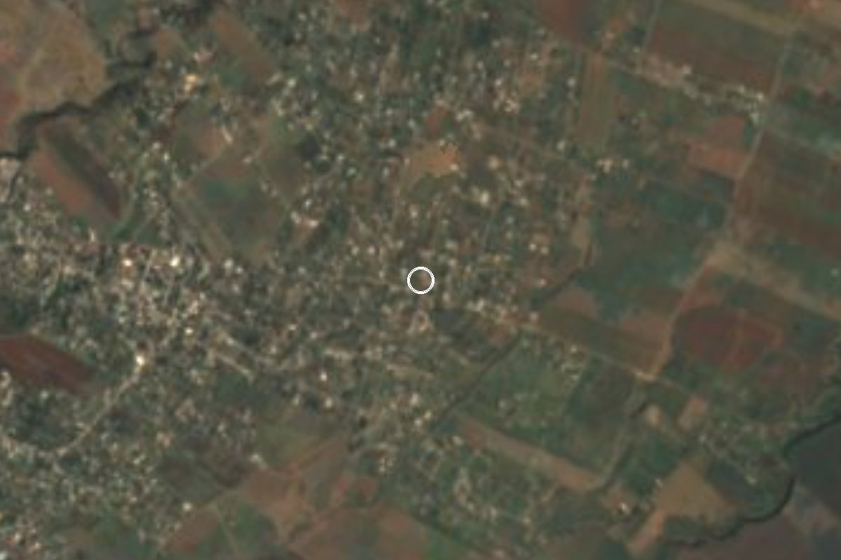
Yecapixtla locality at 1,423 m just minutes from Cuautla, which grew from 85 to 2,678 people between 2000 and 2020; its Nahuatl name refers to clouds.
From Cuautla: 10 min by car (9 km by road) How to get there ↓
Near here
See everything nearby ↓



Plan your visit to Mixtlalcingo
Where to stay near Mixtlalcingo
Compare hotels, posadas and guest houses in Mixtlalcingo.
Tours to Mixtlalcingo
Day trips and guided outings from Tlayacapan often include Mixtlalcingo; with a local guide you can get there without a car.
 Tours from Cuernavaca
3hr Cooking Class in Cuernavaca 8 Recipes and Bottomless Drinks
From US$59
How to get to Mixtlalcingo
- From Cuautla: about 10 min by road (~9 km)
- Nearest airport: Mexico City (MEX), 1 h 33 min by car to Tlayacapan
Links open a partner site. We may earn a commission if you book, at no cost to you.
Tours from Cuernavaca, near Mixtlalcingo


Tours, prices and ratings from Viator, checked weekly. We may earn a commission if you book.
About Mixtlalcingo
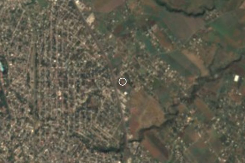
The name comes from Nahuatl: mixtli (cloud), tzin (diminutive or honorific), tlalli (land) and co (place), glossed as "in the land of the little clouds" or "in the honourable cloudy land". It sits at about 1,423 metres in the municipality of Yecapixtla, south of the Popocatépetl country.
What stands out in its recent history is how fast it grew. INEGI counted 85 people in 2000, 1,257 in 2010 and 2,678 in 2020; in 2005 there were 635. In 2020, 42.7 percent of residents had been born outside Morelos, and there were 698 occupied homes against 438 in 2010. A 2021 La Silla Rota report says the land was once part of the indigenous community of Huexca; ejido members sold plots gradually and families from elsewhere came to build in areas without basic services.
The climate is hot semi-arid: about 20.7 °C on average through the year and around 1,147 mm of rain, with September the wettest month. Juan Morales, with more than 13,000 people, is 2.6 km north, and Huexca, home to the CFE thermoelectric plant, is 3 km south. To the south you can see the hills Mirador Grande (1,400 m) and Mirador Chico, about 4.5 km away.
It is a residential village on the way to other places, with no hotels or listed attractions. The nearest hotels are 3 or 4 km away, toward Cuautla.
How to get to Mixtlalcingo
Drive from Cuautla: 10 min, 9 km
By car: Mixtlalcingo is about 5 km from Cuautla in a straight line (roughly 10 minutes by road, approx.) and 56 km from Cuernavaca, the state capital, according to La Silla Rota. From Cuautla take the local roads toward Yecapixtla and follow signs for Juan Morales; Mixtlalcingo is about 2.6 km beyond. Yecapixtla, the municipal seat, is about 9.6 km to the north-east in a straight line. We found no documented highway number or junction for the last stretch, so follow the map on your phone.
By bus: reach Cuautla from Mexico City on Estrella Roja or Pullman de Morelos from Terminal Sur Taxqueña (about 1 h 30, approx.) and take a taxi or colectivo from there to Mixtlalcingo; no direct line is documented. Tlayacapan is about 27 km by road (38 minutes, approx., per Pueblos América) and Tepoztlán 56 km.
Directions to Mixtlalcingo on Google Maps
Distances are in a straight line; the road is usually longer.
Links open a partner site. We may earn a commission if you book, at no cost to you.
From the nearest cities to Mixtlalcingo
- Cuautla · 9 km by road, 10 min
- Cuernavaca · 57 km by road, 50 min
- Atlixco · 73 km by road, 55 min
Drive times by road from OpenStreetMap, without traffic or stops. Times marked ~ are estimated from the straight-line distance.
Visiting Mixtlalcingo: what to see and do
Walk the village streets and note the new houses added each year.
Look at the hills Mirador Grande and Mirador Chico, about 4.5 km to the south.
Visit Juan Morales, 2.6 km north, for a meal at the fondas.
Drive through Huexca, 3 km south, the neighbouring village the community grew out of.
In Cuautla, a few minutes away, there are markets, plazas and spas.
Plan your trip
Places to stay in Mixtlalcingo
Compare hotels, posadas, and rentals in and around Mixtlalcingo.
Tours & activities
Day trips and guided outings from Tlayacapan often include Mixtlalcingo; with a local guide you can get there without a car.
Rental cars
Pick up a car at MEX (Mexico City): about 1 h 33 min by road to Tlayacapan, then 19 km more to Mixtlalcingo, on your own schedule.
Flights
The nearest airport with scheduled flights is Mexico City (MEX), about 1 h 33 min by road from Tlayacapan, the base for Mixtlalcingo.
Mobile data
Signal can drop away from Tlayacapan: download a map of the way to Mixtlalcingo before you set out, or carry an eSIM with data.
Links open a partner site. We may earn a commission if you book, at no cost to you.
When to go to Mixtlalcingo mild
Mixtlalcingo shares the climate of Tlayacapan, 19 km away. The best months to visit are January, February, March, and December.
See the month-by-month climate of Tlayacapan
Weather in Mixtlalcingo now and the next 7 days
Live forecast from Open-Meteo. Chance of rain is the day's highest.
The closest Pueblo Mágico: Tlayacapan

Tlayacapan is the Pueblo Mágico closest to Mixtlalcingo, with places to stay, food, and more to see.
Also close to
- Tlaltizapán · Morelos · 29 km away
- Tepoztlán · Morelos · 29 km away
- Xochitepec · Morelos · 43 km away
- Atlixco · Puebla · 51 km away
- Huejotzingo · Puebla · 65 km away
Closest to Mixtlalcingo
-
Juan Morales · Village · 2 km away
-
Loma Bonita · Village · 2 km away
-
Balneario Agua Hedionda · Hot springs · 3 km away
-
Huexca · Village · 3 km away
-
Balneario Los Limones · Hot springs · 5 km away
-
Cuautla · City · 5 km away
-
Estadio Isidro Gil Tapia · Landmark · 5 km away
-
Las Arboledas · Village · 5 km away

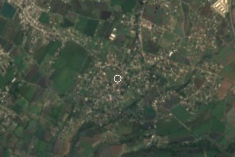
Near Mixtlalcingo



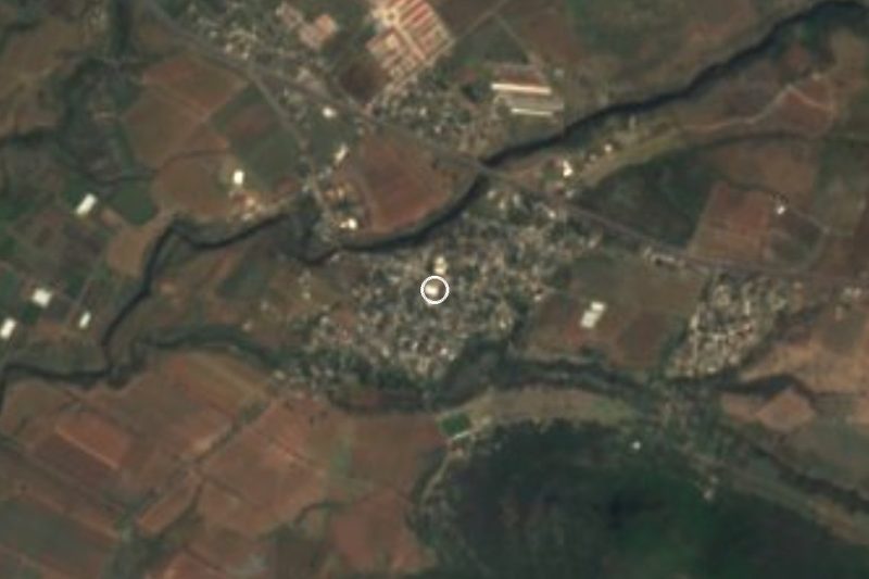
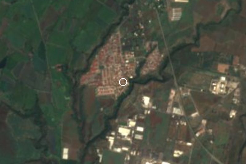

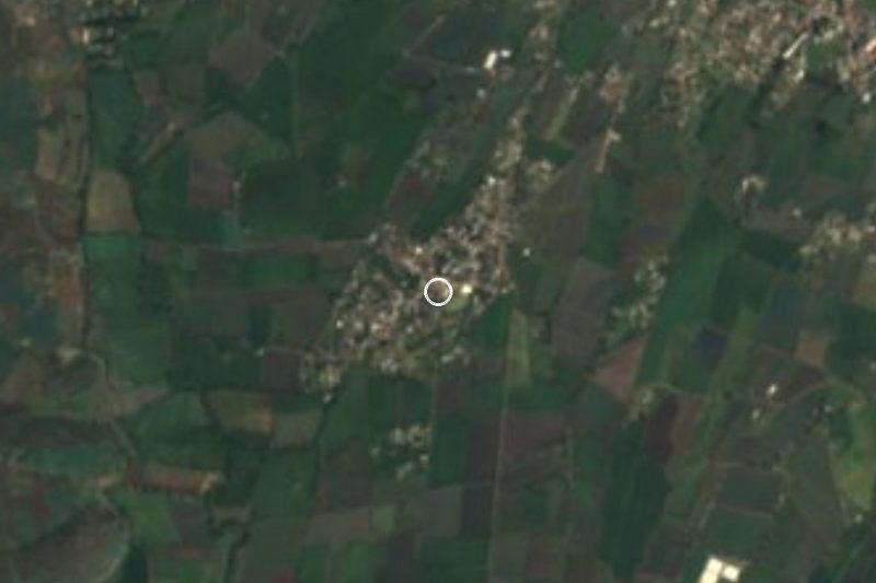

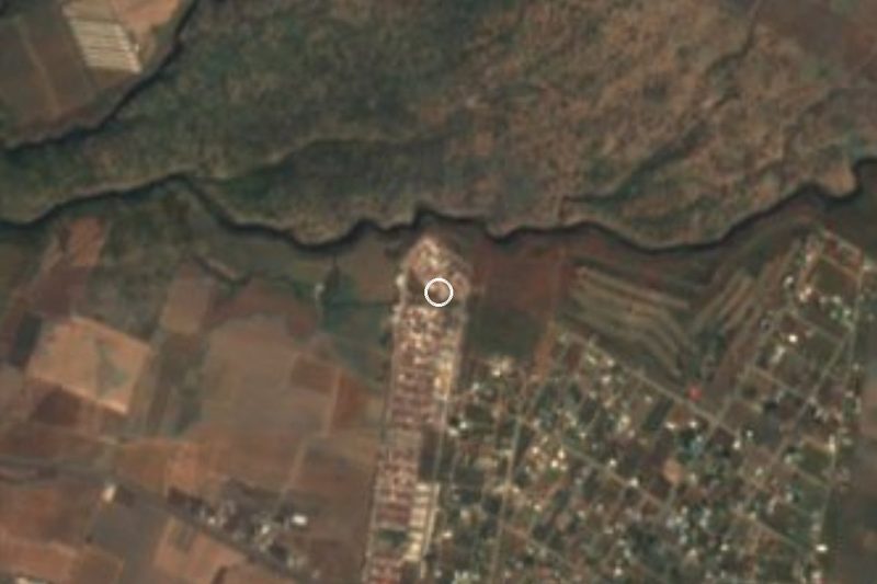
Drive times by road from OpenStreetMap, without traffic. Times marked ~ are estimated from the straight-line distance.
Location from OpenStreetMap. Written by Puebloteca.