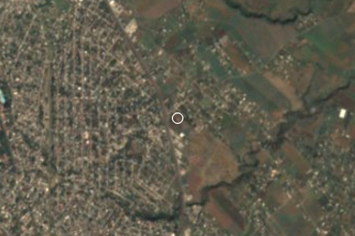
Village Yecapixtla, Morelos Municipality of Yecapixtla Monasteries on the slopes of Popocatépetl Northern Morelos
Yecapixtla colonia beside Juan Morales at 1,404 m: from 25 residents in 1990 to 1,066 in 2020.
From Cuautla: 10 min by car (8 km by road) How to get there ↓
Near here
See everything nearby ↓



Plan your visit to Loma Bonita
Where to stay near Loma Bonita
Compare hotels, posadas and guest houses in Loma Bonita.
Tours to Loma Bonita
Day trips and guided outings from Tlayacapan often include Loma Bonita; with a local guide you can get there without a car.
 Tours from Cuernavaca
3hr Cooking Class in Cuernavaca 8 Recipes and Bottomless Drinks
From US$59
How to get to Loma Bonita
- From Cuautla: about 10 min by road (~8 km)
- Nearest airport: Mexico City (MEX), 1 h 33 min by car to Tlayacapan
Links open a partner site. We may earn a commission if you book, at no cost to you.
Tours from Cuernavaca, near Loma Bonita


Tours, prices and ratings from Viator, checked weekly. We may earn a commission if you book.
About Loma Bonita
In 1990 this place had 25 residents; in 2020 it had 1,066. Loma Bonita, in the municipality of Yecapixtla, Morelos, is one of the fastest-growing localities around Cuautla: 45 people in 2000, 306 in 2005, 533 in 2010 and those 1,066 in 2020 (534 women and 532 men). There were 285 occupied homes in 2020 (242 in 2010), and over that decade the share with piped water climbed from 13% to 78%.
It lies at about 1,400 m above sea level, between Cuautla and the foot of the mountains, right next to Juan Morales (13,431 people), a little over 1 km to the north, and Mixtlalcingo (2,678), 1.7 km to the south. The municipal seat, Yecapixtla, is about 9 km away in a straight line to the northeast. Around it are small ranches such as Rancho del Carmen and Rancho Viejo, and the locality of Cerro del Temecate to the west.
The 2020 figures describe a young, working community: 50.7% of people over 12 were employed, average schooling was 8.7 years and 8.3% identified as indigenous. It should not be confused with the other Loma Bonitas in Morelos (in Tepoztlán, Ayala and Emiliano Zapata). It has no sights of its own, but the convent of San Juan Bautista in Yecapixtla is a short drive away on the Cuautla road.
How to get to Loma Bonita
Drive from Cuautla: 10 min, 8 km
Loma Bonita is very close to Cuautla, about 5 km in a straight line to the northwest, and 1 km south of Juan Morales, by federal highway 115, the road from Cuautla towards Yecapixtla. From Cuautla, leave on that highway towards Juan Morales and follow the streets that branch off to the south; allow roughly 10 to 15 minutes by car. From Yecapixtla to Cuautla the route is about 17 km and 17 to 27 minutes according to route sites, and it passes through Juan Morales.
We found no published public transport route to the colonia itself. The practical option is to board a combi or shared taxi for Yecapixtla in Cuautla (near the bus station or market), which runs along the federal highway, and ask the driver to drop you in Juan Morales; from there it is a little over 1 km on foot or by taxi. A drive from Cuernavaca to Yecapixtla is around 60 km and about 48 minutes, and from Mexico City the normal way is to reach Cuautla and continue from there.
Directions to Loma Bonita on Google Maps
Distances are in a straight line; the road is usually longer.
Links open a partner site. We may earn a commission if you book, at no cost to you.
From the nearest cities to Loma Bonita
- Cuautla · 8 km by road, 10 min
- Cuernavaca · 55 km by road, 45 min
- Atlixco · 76 km by road, 55 min
Drive times by road from OpenStreetMap, without traffic or stops. Times marked ~ are estimated from the straight-line distance.
Visiting Loma Bonita: what to see and do
Walk the streets of Loma Bonita and continue to Rancho del Carmen, 700 m south.
Stop in Juan Morales, 1 km north, for the market and the highway shops.
Go up to Yecapixtla to see the ex-convent of San Juan Bautista.
Head down to Cuautla, about 5 km away in a straight line, for its centre and market.
Plan your trip
Places to stay in Loma Bonita
Compare hotels, posadas, and rentals in and around Loma Bonita.
Tours & activities
Day trips and guided outings from Tlayacapan often include Loma Bonita; with a local guide you can get there without a car.
Rental cars
Pick up a car at MEX (Mexico City): about 1 h 33 min by road to Tlayacapan, then 17 km more to Loma Bonita, on your own schedule.
Flights
The nearest airport with scheduled flights is Mexico City (MEX), about 1 h 33 min by road from Tlayacapan, the base for Loma Bonita.
Mobile data
Signal can drop away from Tlayacapan: download a map of the way to Loma Bonita before you set out, or carry an eSIM with data.
Links open a partner site. We may earn a commission if you book, at no cost to you.
When to go to Loma Bonita mild
Loma Bonita shares the climate of Tlayacapan, 17 km away. The best months to visit are January, February, March, and December.
See the month-by-month climate of Tlayacapan
Weather in Loma Bonita now and the next 7 days
Live forecast from Open-Meteo. Chance of rain is the day's highest.
The closest Pueblo Mágico: Tlayacapan

Tlayacapan is the Pueblo Mágico closest to Loma Bonita, with places to stay, food, and more to see.
Also close to
- Tepoztlán · Morelos · 27 km away
- Tlaltizapán · Morelos · 28 km away
- Xochitepec · Morelos · 41 km away
- Atlixco · Puebla · 53 km away
- Malinalco · Estado de México · 63 km away
Closest to Loma Bonita
-
Juan Morales · Village · 1 km away
-
Balneario Agua Hedionda · Hot springs · 2 km away
-
Mixtlalcingo · Village · 2 km away
-
Balneario Los Limones · Hot springs · 3 km away
-
Cuautla · City · 3 km away
-
Antigua estación del ferrocarril de Cuautla · Landmark · 4 km away
-
Estadio Isidro Gil Tapia · Landmark · 4 km away
-
Las Arboledas · Village · 4 km away

Near Loma Bonita




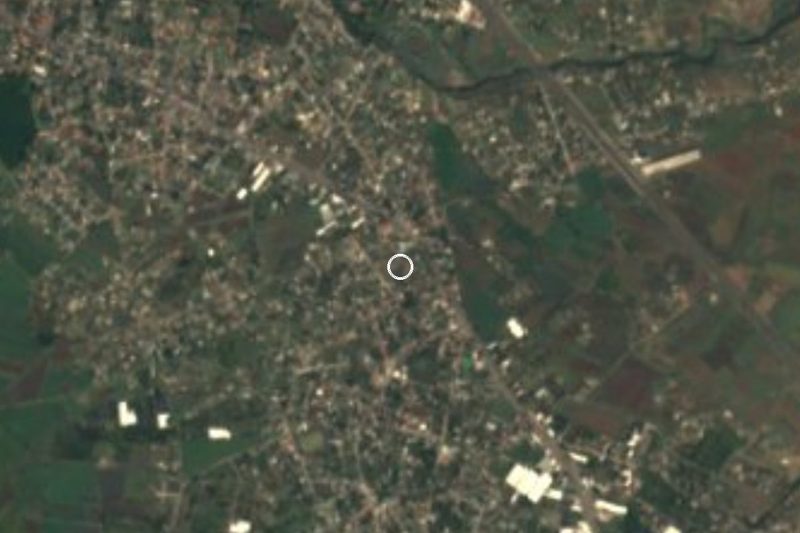
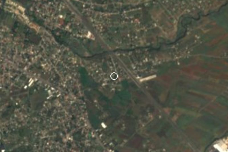
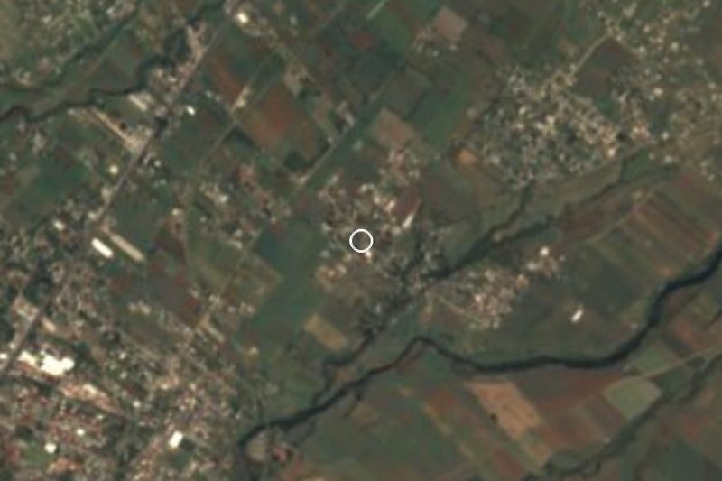
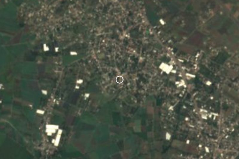
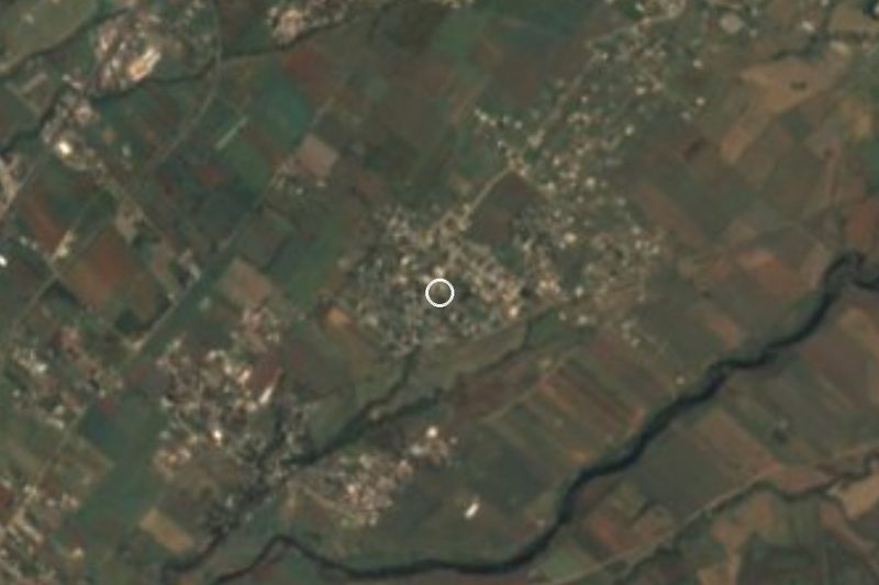

Drive times by road from OpenStreetMap, without traffic. Times marked ~ are estimated from the straight-line distance.
Location from OpenStreetMap. Written by Puebloteca.