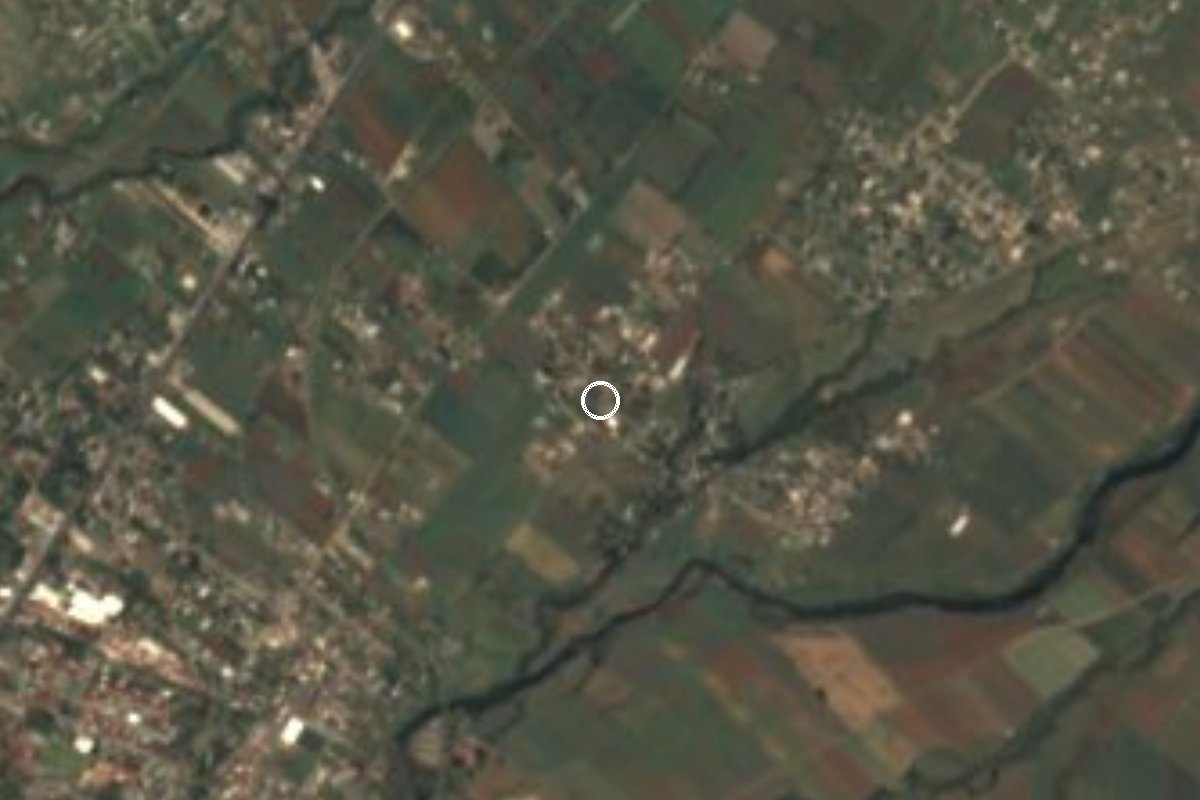
Village Yecapixtla, Morelos Municipality of Yecapixtla Monasteries on the slopes of Popocatépetl Northern Morelos
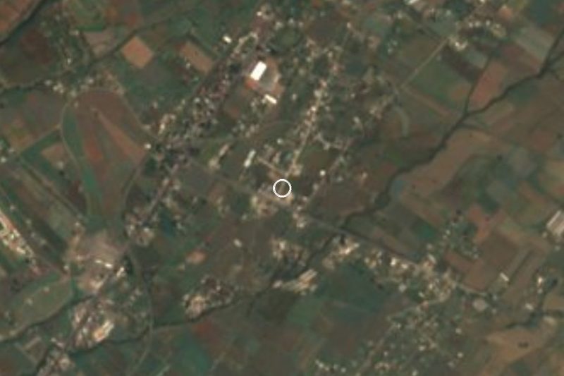
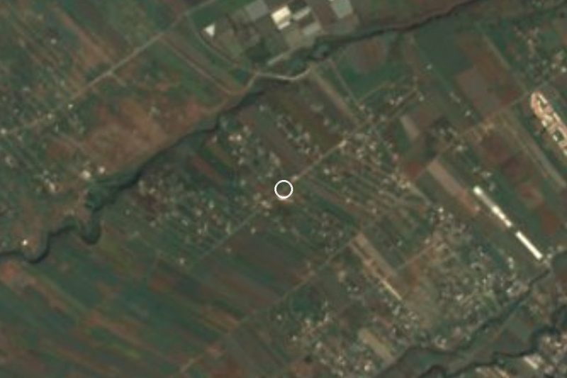
Yecapixtla village at 1,463 m, about 5 km west of the municipal seat; already described in Alcedo's 1788 dictionary.
From Cuautla: 10 min by car (8 km by road) How to get there ↓
Near here
See everything nearby ↓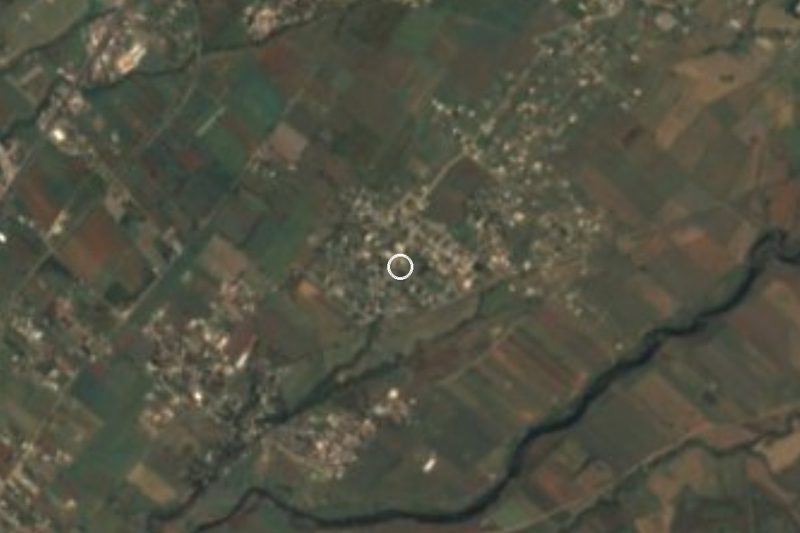



Plan your visit to Pazulco
Where to stay near Pazulco
Compare hotels, posadas and guest houses in Pazulco.
Tours to Pazulco
Day trips and guided outings from Tlayacapan often include Pazulco; with a local guide you can get there without a car.
 Tours from Cuernavaca
3hr Cooking Class in Cuernavaca 8 Recipes and Bottomless Drinks
From US$59
How to get to Pazulco
- From Cuautla: about 10 min by road (~8 km)
- Nearest airport: Mexico City (MEX), 1 h 33 min by car to Tlayacapan
Links open a partner site. We may earn a commission if you book, at no cost to you.
Tours from Cuernavaca, near Pazulco


Tours, prices and ratings from Viator, checked weekly. We may earn a commission if you book.
About Pazulco
Pazulco has been in print since 1788, when Antonio de Alcedo's geographical-historical dictionary of the West Indies describes it as a village under the district of Cuernavaca, with 130 Indian families, attached to the parish of Ayacapixtla. The author says it lay on a very barren plain, had no trade, and that its people worked for the owners of the region's haciendas. He adds that since 1744 it had been nearly destroyed and deserted: during that year's carnival festivities three justice officers who entered the village at night were killed.
Today it is a locality of the municipality of Yecapixtla, at about 1,463 metres above sea level and 4.8 km in a straight line west of the municipal seat. The 2020 census counted 749 residents (386 men and 363 women), up from 565 in 2010 and 495 in 2005, with 190 occupied private homes. About 8.3 percent identify as indigenous and the average schooling is 8.3 years. It is one of the 10 largest of the municipality's 76 localities.
Because of the altitude the climate is cooler than Cuautla's: the annual mean is about 20 C, with January the coldest month (18 C) and April the warmest (23 C), and rain, around 1,240 mm a year, is concentrated in summer, with September the wettest month.
How to get to Pazulco
Drive from Cuautla: 10 min, 8 km
Pazulco is about 5 km west of Yecapixtla. From Mexico City, one documented way to reach Yecapixtla is the second-class bus from TAPO along the federal highway through Chalco and Amecameca; get off at the Yecapixtla junction and take a combi, about 15 minutes to the village, roughly an hour and a half in all from the capital. By car, take the federal México-Cuautla road to the Yecapixtla junction, or the highway toward Cuernavaca and the detour to Cuautla.
From Cuautla to Yecapixtla is about 14 km and 14 minutes; from there to Pazulco is about 5 km more. We found no published combi route to Pazulco: ask in Yecapixtla for transport toward Pazulco or take a taxi. Cuautla, the nearest city, is about 6 km in a straight line (about 15 minutes by car) and Tlayacapan, the nearest pueblo on our list, about 11 km (about 20 minutes).
Directions to Pazulco on Google Maps
Distances are in a straight line; the road is usually longer.
Links open a partner site. We may earn a commission if you book, at no cost to you.
From the nearest cities to Pazulco
- Cuautla · 8 km by road, 10 min
- Cuernavaca · 55 km by road, 50 min
- Atlixco · 83 km by road, 1 h 5 min
Drive times by road from OpenStreetMap, without traffic or stops. Times marked ~ are estimated from the straight-line distance.
Visiting Pazulco: what to see and do
Walk the village and see how houses and cornfields mix on the plain.
Continue to Yecapixtla, about 5 km east, and visit the church and former convent of San Juan Bautista.
Try Yecapixtla's cecina; its cecina fair ran in late October in 2025.
Go down to Cuautla, a few kilometres south, for its market and centre.
Bring a light sweater: winter mornings are cool.
Plan your trip
Places to stay in Pazulco
Compare hotels, posadas, and rentals in and around Pazulco.
Tours & activities
Day trips and guided outings from Tlayacapan often include Pazulco; with a local guide you can get there without a car.
Rental cars
Pick up a car at MEX (Mexico City): about 1 h 33 min by road to Tlayacapan, then 11 km more to Pazulco, on your own schedule.
Flights
The nearest airport with scheduled flights is Mexico City (MEX), about 1 h 33 min by road from Tlayacapan, the base for Pazulco.
Mobile data
Signal can drop away from Tlayacapan: download a map of the way to Pazulco before you set out, or carry an eSIM with data.
Links open a partner site. We may earn a commission if you book, at no cost to you.
When to go to Pazulco mild
Pazulco shares the climate of Tlayacapan, 11 km away. The best months to visit are January, February, March, and December.
See the month-by-month climate of Tlayacapan
Weather in Pazulco now and the next 7 days
Live forecast from Open-Meteo. Chance of rain is the day's highest.
The closest Pueblo Mágico: Tlayacapan

Tlayacapan is the Pueblo Mágico closest to Pazulco, with places to stay, food, and more to see.
Also close to
- Tepoztlán · Morelos · 23 km away
- Tlaltizapán · Morelos · 32 km away
- Xochitepec · Morelos · 43 km away
- Atlixco · Puebla · 51 km away
- Huejotzingo · Puebla · 61 km away
Closest to Pazulco
-
Yecapixteca · Village · 1 km away
-
San Francisco · Village · 2 km away
-
Las Minas · Village · 3 km away
-
Tetelcingo · Landmark · 3 km away
-
Lomas de Cocoyoc · Village · 5 km away
-
Templo y Exconvento de San Juan Bautista de Yecapixtla · Landmark · 5 km away
-
Yecapixtla · Town · 5 km away
-
Balneario Ejidal El Bosque · Hot springs · 6 km away

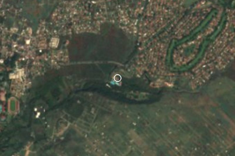
Near Pazulco
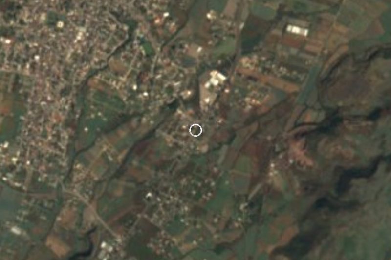


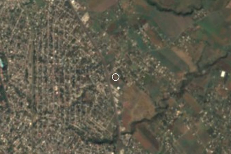



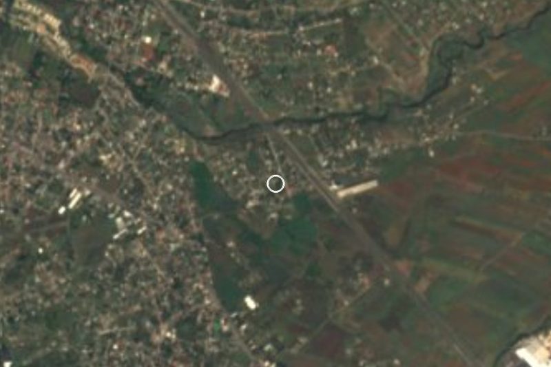
Drive times by road from OpenStreetMap, without traffic. Times marked ~ are estimated from the straight-line distance.
Location from OpenStreetMap. Written by Puebloteca.