Village Cuautla, Morelos Municipality of Cuautla Monasteries on the slopes of Popocatépetl Northern Morelos
Village in Cuautla municipality at about 1,267 m, with 1,901 people in 2020; its Nahuatl name roughly means "place of soft things".
From Cuautla: 10 min by car (6 km by road) How to get there ↓
Near here
See everything nearby ↓



Plan your visit to Puxtla
Where to stay near Puxtla
Compare hotels, posadas and guest houses in Puxtla.
Tours to Puxtla
Day trips and guided outings from Tlayacapan often include Puxtla; with a local guide you can get there without a car.
How to get to Puxtla
- From Cuautla: about 10 min by road (~6 km)
- Nearest airport: Mexico City (MEX), 1 h 33 min by car to Tlayacapan
Links open a partner site. We may earn a commission if you book, at no cost to you.
About Puxtla
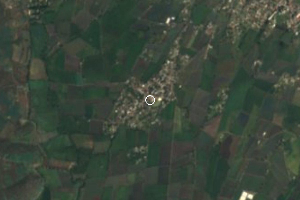
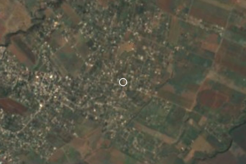
Puxtla sits a little under three kilometres west of Cuautla, at about 1,267 metres above sea level, yet it keeps the feel of a village of its own. The name is Nahuatl: Wikipedia derives it from poxahuac, "soft or spongy", and tlan, "abundance", and renders it "place of soft things"; other local profiles read it as a place of soft stones or of smoked things, so treat the meaning with some caution.
The INEGI censuses show very fast growth. It counted 91 people in 1930, 601 in 1970, 1,199 in 2000, 1,476 in 2010 and 1,901 in 2020, which puts it among the five largest of the 69 localities in Cuautla municipality. Much of that comes from its closeness to the city: nearly a fifth of residents (18.8%) were born outside Morelos, according to the 2020 data.
The surroundings are low hills and farmland. To the south and southwest rise Cerro del Ídolo (1,420 m), El Mirador (1,346 m), Tenayo (1,344 m) and Cerro El Ajonjolí (1,308 m), and small hamlets and colonias lie around the village, such as Jicamán (Colonia El Mirador), Colonia Los Cortés, Héroe de Nacozari and Campo Ahuehuepan, each a little over a kilometre away. The climate is hot semi-arid, with a mean annual temperature of about 21.4 °C and some 975 mm of rain a year, mostly in summer.
In 2020 there were 535 occupied homes, nearly all with electricity (97.9%) and piped water (93.8%), and average schooling was 9.1 years. There is no lodging in the village itself; anyone staying in the area does so in Cuautla.
How to get to Puxtla
Drive from Cuautla: 10 min, 6 km
Puxtla is about 3 km west of central Cuautla, Morelos, so the drive or taxi from the city takes roughly 10 minutes; leave Cuautla heading west and ask for the road to Puxtla, since we could not verify the exact road number. Cuautla is the hub: Pullman de Morelos buses connect Mexico City with Cuautla, Yautepec, Oaxtepec and Cuernavaca (check times with the company, as adjustments after road blockades were reported in mid-2026). From Mexico City, take a bus to Cuautla from Terminal Sur (Taxqueña); once there, take a local taxi or colectivo toward Puxtla. By car from the capital, the usual route is toll highway 95D toward Cuernavaca and the 160D toll spur, which enters Cuautla from the north (a 54-peso toll in 2017 per AARoads; it may differ now). Tlayacapan, the nearest pueblo mágico, is about 22 km away (roughly 21 minutes by car).
Directions to Puxtla on Google Maps
Distances are in a straight line; the road is usually longer.
Links open a partner site. We may earn a commission if you book, at no cost to you.
From the nearest cities to Puxtla
- Cuautla · 6 km by road, 10 min
- Cuernavaca · 58 km by road, 55 min
- Atlixco · 79 km by road, 1 h 5 min
Drive times by road from OpenStreetMap, without traffic or stops. Times marked ~ are estimated from the straight-line distance.
Visiting Puxtla: what to see and do
Walk Puxtla's streets to see a working village rather than a tourist site.
Look south to the hills: Cerro del Ídolo, El Mirador and Tenayo.
Follow the farm tracks toward Jicamán and Colonia Los Cortés.
Ask about the patron-saint fiesta before you go; we found no confirmed date.
Pair the visit with central Cuautla, a few minutes away.
Plan your trip
Places to stay in Puxtla
Compare hotels, posadas, and rentals in and around Puxtla.
Tours & activities
Day trips and guided outings from Tlayacapan often include Puxtla; with a local guide you can get there without a car.
Rental cars
Pick up a car at MEX (Mexico City): about 1 h 33 min by road to Tlayacapan, then 16 km more to Puxtla, on your own schedule.
Flights
The nearest airport with scheduled flights is Mexico City (MEX), about 1 h 33 min by road from Tlayacapan, the base for Puxtla.
Mobile data
Signal can drop away from Tlayacapan: download a map of the way to Puxtla before you set out, or carry an eSIM with data.
Links open a partner site. We may earn a commission if you book, at no cost to you.
When to go to Puxtla mild
Puxtla shares the climate of Tlayacapan, 16 km away. The best months to visit are January, February, March, and December.
See the month-by-month climate of Tlayacapan
Weather in Puxtla now and the next 7 days
Live forecast from Open-Meteo. Chance of rain is the day's highest.
The closest Pueblo Mágico: Tlayacapan

Tlayacapan is the Pueblo Mágico closest to Puxtla, with places to stay, food, and more to see.
Also close to
- Tlaltizapán · Morelos · 22 km away
- Tepoztlán · Morelos · 23 km away
- Xochitepec · Morelos · 34 km away
- Malinalco · Estado de México · 57 km away
- Atlixco · Puebla · 59 km away
Closest to Puxtla
-
Anenecuilco · Town · 3 km away
-
Antigua estación del ferrocarril de Cuautla · Landmark · 3 km away
-
Exhacienda el Hospital · Village · 3 km away
-
Museo del Oriente de Morelos "Casa de Morelos" · Landmark · 3 km away
-
Parroquia de Santiago Apóstol de Cuautla · Landmark · 3 km away
-
San Pedro Apatlaco · Village · 3 km away
-
Templo y exconvento de San Diego · Landmark · 3 km away
-
Balneario Los Limones · Hot springs · 4 km away


Near Puxtla






Drive times by road from OpenStreetMap, without traffic. Times marked ~ are estimated from the straight-line distance.
Location from OpenStreetMap. Written by Puebloteca.