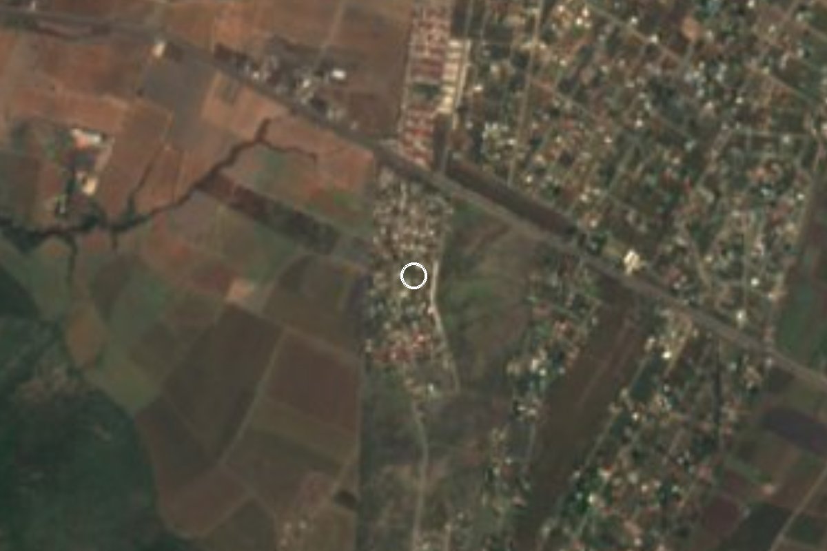
Village Ayala, Morelos Municipality of Ayala
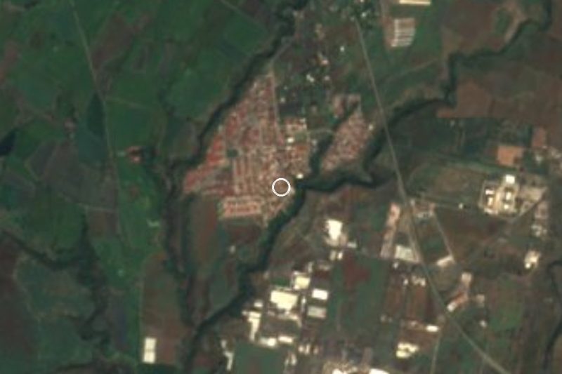
Ayala locality at 1,432 m south-east of Cuautla, home to about 1,070 people, with the Tenayo hamlets and Tlayecac nearby.
From Cuautla: 20 min by car (19 km by road) How to get there ↓
Near here
See everything nearby ↓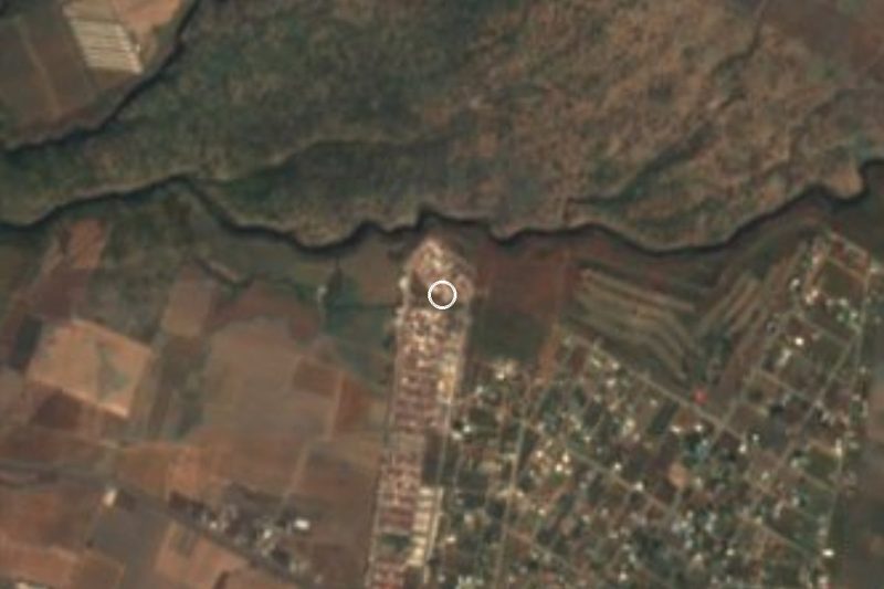


Plan your visit to Mariano Matamoros
Where to stay near Mariano Matamoros
Compare hotels, posadas and guest houses in Mariano Matamoros.
Tours to Mariano Matamoros
Day trips and guided outings from Tlayacapan often include Mariano Matamoros; with a local guide you can get there without a car.
 Tours from Cuernavaca
3hr Cooking Class in Cuernavaca 8 Recipes and Bottomless Drinks
From US$59
How to get to Mariano Matamoros
- From Cuautla: about 20 min by road (~19 km)
- Nearest airport: Mexico City (MEX), 1 h 33 min by car to Tlayacapan
Links open a partner site. We may earn a commission if you book, at no cost to you.
Tours from Cuernavaca, near Mariano Matamoros


Tours, prices and ratings from Viator, checked weekly. We may earn a commission if you book.
About Mariano Matamoros
The locality of Mariano Matamoros, in the municipality of Ayala, is named for the insurgent priest Mariano Matamoros y Guridi, born in Mexico City in 1770. Morelos made him lieutenant general during the siege of Cuautla in 1812, which lasted from 9 February to 2 May; it was Matamoros who broke out one night to join Miguel Bravo. He was captured at Puruarán in early 1814 and shot at Valladolid, Michoacán, on 3 February of that year. The name is common across Mexico, and this village should not be confused with the colonia of the same name in Cuautla city or the unidad in Xochitepec.
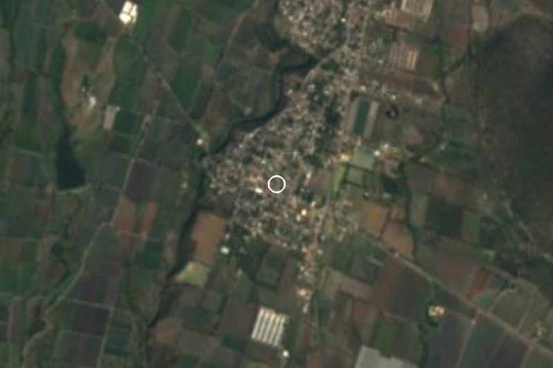
It is a small and recent settlement. INEGI does not list it before 1990, when it had 149 people; there were 611 in 2000, 1,056 in 2010 and 1,069 in 2020, at about 1,432 metres above sea level. Growth has levelled off in the last decade.
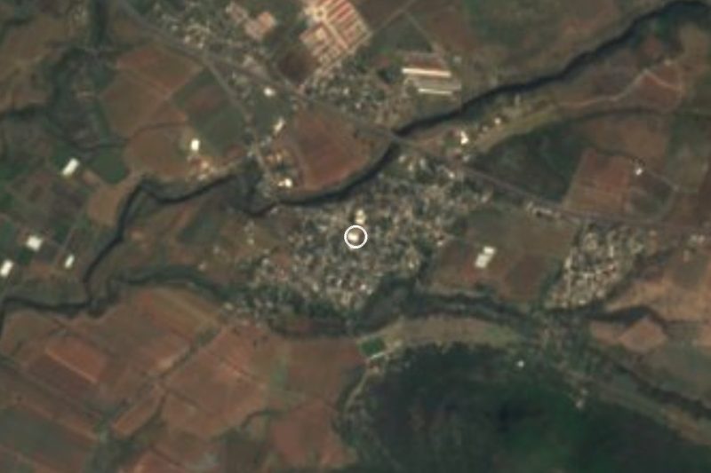
Other small settlements surround it: the hamlets of Tenayo Grande (1.7 km south) and Tenayo Chico (2.5 km), Tencuancoalco (2.2 km south-west), and the housing estates Prados del Sol and El Venadito, about 1 km away. El Tenayo is also one of the hills named in Ayala's municipal profile. Further out are Tlayecac, Xalostoc and Jaloxtoc.
There are no tourist sights in the village, and We found no registered hotels or restaurants. It works as a countryside stop for anyone exploring rural Ayala, the Zapatista heartland, before heading back to Cuautla.
How to get to Mariano Matamoros
Drive from Cuautla: 20 min, 19 km
By car: from Cuautla take the federal Cuautla-Izúcar de Matamoros road (160) or the Cuautla-Jojutla road toward Ayala; the village is about 13 km south-east of downtown Cuautla in a straight line (about 20 to 25 minutes by road, approx.). Pueblos América places it about 12.4 km north-east of Ciudad Ayala, the seat, and 13.9 km east of San Pedro Apatlaco. The last stretch is on municipal roads, like the one linking Tlayecac, Jaloxtoc and Huitzililla; keep a map on your phone, as We found no written source for the exact turn-off.
By public transport: take a bus or colectivo from Cuautla toward Ayala or Tlayecac and ask for the route to Mariano Matamoros; no named line is documented. From Mexico City get to Cuautla on Estrella Roja or Pullman de Morelos from Terminal Sur Taxqueña (about 1 h 30, approx.). Tlayacapan, the reference pueblo, is about 27 km away in a straight line (roughly 30 minutes by car, with no direct route).
Directions to Mariano Matamoros on Google Maps
Distances are in a straight line; the road is usually longer.
Links open a partner site. We may earn a commission if you book, at no cost to you.
From the nearest cities to Mariano Matamoros
- Cuautla · 19 km by road, 20 min
- Atlixco · 62 km by road, 50 min
- Cuernavaca · 69 km by road, 1 h
Drive times by road from OpenStreetMap, without traffic or stops. Times marked ~ are estimated from the straight-line distance.
Visiting Mariano Matamoros: what to see and do
Walk the village streets and the fields among crops and low hills.
Look toward El Tenayo hill to the south, one of Ayala's named hills.
Visit Tenayo Grande, 1.7 km south.
Continue to Tlayecac, Xalostoc or Jaloxtoc along the municipal roads.
Finish at Anenecuilco, birthplace of Emiliano Zapata, with its Museo Casa Zapata.
Plan your trip
Places to stay in Mariano Matamoros
Compare hotels, posadas, and rentals in and around Mariano Matamoros.
Tours & activities
Day trips and guided outings from Tlayacapan often include Mariano Matamoros; with a local guide you can get there without a car.
Rental cars
Pick up a car at MEX (Mexico City): about 1 h 33 min by road to Tlayacapan, then 27 km more to Mariano Matamoros, on your own schedule.
Flights
The nearest airport with scheduled flights is Mexico City (MEX), about 1 h 33 min by road from Tlayacapan, the base for Mariano Matamoros.
Mobile data
Signal can drop away from Tlayacapan: download a map of the way to Mariano Matamoros before you set out, or carry an eSIM with data.
Links open a partner site. We may earn a commission if you book, at no cost to you.
When to go to Mariano Matamoros mild
Mariano Matamoros shares the climate of Tlayacapan, 27 km away. The best months to visit are January, February, March, and December.
See the month-by-month climate of Tlayacapan
Weather in Mariano Matamoros now and the next 7 days
Live forecast from Open-Meteo. Chance of rain is the day's highest.
The closest Pueblo Mágico: Tlayacapan

Tlayacapan is the Pueblo Mágico closest to Mariano Matamoros, with places to stay, food, and more to see.
Also close to
- Tlaltizapán · Morelos · 31 km away
- Tepoztlán · Morelos · 37 km away
- Atlixco · Puebla · 48 km away
- Xochitepec · Morelos · 48 km away
- Huejotzingo · Puebla · 65 km away
Closest to Mariano Matamoros
-
Las Llaves · Village · 2 km away
-
Tlayecac · Village · 3 km away
-
Amayuca · Village · 6 km away
-
Jaloxtoc · Village · 6 km away
-
Amacuitlapilco · Village · 7 km away
-
Diez de Abril · Village · 7 km away
-
Huexca · Village · 7 km away
-
Huitzililla · Village · 7 km away

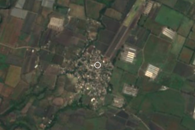
Near Mariano Matamoros
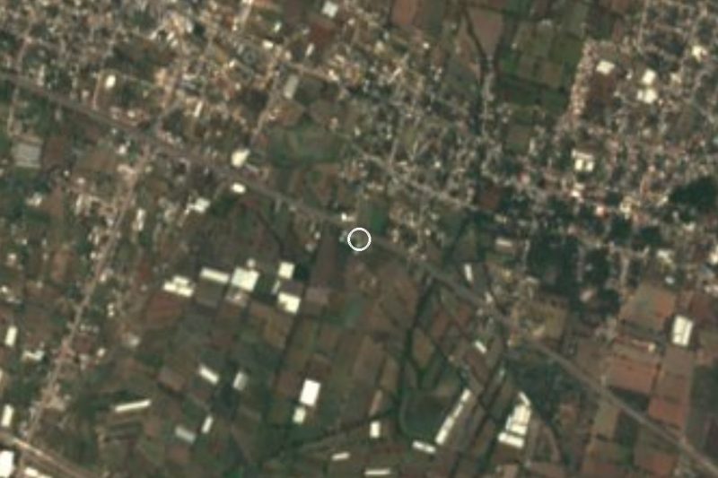


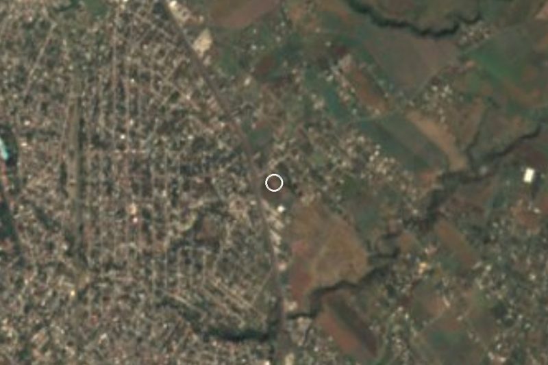


Drive times by road from OpenStreetMap, without traffic. Times marked ~ are estimated from the straight-line distance.
Location from OpenStreetMap. Written by Puebloteca.