

Village Temoac, Morelos Municipality of Temoac Volcano Route
An amaranth-growing village of Temoac at 1,526 m below Popocatépetl: ahuehuete trees, the Señor de la Columna fiesta and community radio Amiltzinko.
From Cuautla: 25 min by car (28 km by road) How to get there ↓
Near here
See everything nearby ↓



Plan your visit to Amilcingo
Where to stay near Amilcingo
Compare hotels, posadas and guest houses in Amilcingo.
Tours to Amilcingo
Day trips and guided outings from Tlayacapan often include Amilcingo; with a local guide you can get there without a car.
 Tours from Atlixco
Atlixco Volcano Views Popocatépetl Tour Forest Route
From US$108
How to get to Amilcingo
- From Cuautla: about 25 min by road (~28 km)
- Nearest airport: Mexico City (MEX), 1 h 33 min by car to Tlayacapan
Links open a partner site. We may earn a commission if you book, at no cost to you.
Tours from Atlixco, near Amilcingo
Tours, prices and ratings from Viator, checked weekly. We may earn a commission if you book.
About Amilcingo
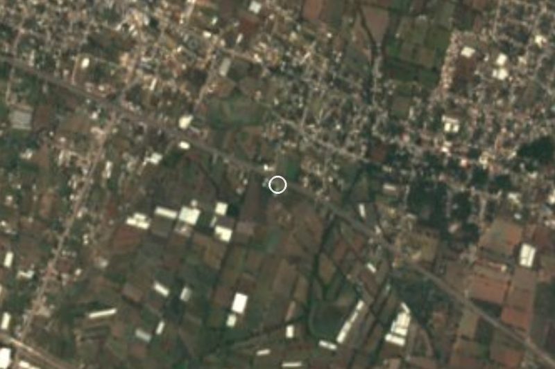
Amilcingo lies at the far eastern edge of Morelos, close to the Puebla border and within sight of Popocatépetl, at about 1,526 m above sea level. It belongs to the municipality of Temoac, whose seat is some 5 km to the north, and it now runs into neighbouring Huazulco. The 2020 census counted 3,961 people. It is one of the municipality's four agrarian communities, and a 2015 state decree lists it as an indigenous community. Its residents, together with those of Huazulco, Popotlán and Temoac, organised to break away from Zacualpan de Amilpas, and the new municipality was recognised on 17 March 1977.
Amaranth is the local emblem: the village coat of arms reads "Land of amaranth" and shows a plant sprouting from soil. It is grown mainly in Amilcingo and Huazulco, with two sowing windows (30 May to 15 June and 15 to 30 June), and making amaranth wafers has grown in both villages. The Barranca de Ahuehuetes, inside the village, is its patch of nature.
The main festival is the Señor de la Columna on 15 March. Other dates in the local calendar are 21 March (Benito Juárez's birthday and the first day of spring), 10 April, when ejidatarios parade and lay flowers for the death of Emiliano Zapata, and 30 September, with a civic parade.
The village is also known for community radio Amiltzinko, founded in 2014 and now on 100.7 FM, and for Samir Flores Soberanes, a presenter at the station and activist against the Proyecto Integral Morelos, who was killed outside his home on 20 February 2019. He is remembered each February with a mass and offerings there.
How to get to Amilcingo
Drive from Cuautla: 25 min, 28 km
Amilcingo is in the municipality of Temoac in eastern Morelos, about 21 km east of Cuautla (roughly 25 minutes by car). The area's main road is federal highway Mexico 160, which leaves Cuautla toward Puebla and Oaxaca and passes Amayuca; by coordinates, Amilcingo is about 3 km east of Amayuca and some 5 km south of Temoac. We found no confirmed colectivo route to Amilcingo: in Cuautla, ask at the bus station and the market about combis to Temoac and Huazulco. Rome2Rio lists a Volcanes bus from Cuautla to Tepalcingo roughly every three hours, but does not confirm a stop at Temoac or Amilcingo, so ask the driver. From Mexico City, take a bus to Cuautla at TAPO and change there. From Cuernavaca, reach Cuautla by the Siglo XXI toll road (Mexico 115D). Tlayacapan, the nearest pueblo in our guide, is about 32 km away in a straight line.
Directions to Amilcingo on Google Maps
Distances are in a straight line; the road is usually longer.
Links open a partner site. We may earn a commission if you book, at no cost to you.
From the nearest cities to Amilcingo
- Cuautla · 28 km by road, 25 min
- Atlixco · 50 km by road, 40 min
- Cuernavaca · 77 km by road, 1 h 5 min
Drive times by road from OpenStreetMap, without traffic or stops. Times marked ~ are estimated from the straight-line distance.
Before you go to Amilcingo: hours, prices and tips
- Best season
- Patron festival of the Señor de la Columna on 15 March, the most important in the village; parade for Emiliano Zapata on 10 April. Wikipedia (es), Amilcingo · checked Oct 2026
Hours and prices change, especially around holidays. Each fact links to where we checked it.
Visiting Amilcingo: what to see and do
Walk under the ahuehuete trees of the village ravine.
Look at the amaranth fields and try amaranth wafers from local producers.
Come on 15 March for the Señor de la Columna fiesta.
Watch the 10 April parade honouring Emiliano Zapata.
Find the village coat of arms reading Tierra del amaranto.
Be respectful at Samir Flores's home, where he is remembered each February.
Plan your trip
Places to stay in Amilcingo
Compare hotels, posadas, and rentals in and around Amilcingo.
Tours & activities
Day trips and guided outings from Tlayacapan often include Amilcingo; with a local guide you can get there without a car.
Rental cars
Pick up a car at MEX (Mexico City): about 1 h 33 min by road to Tlayacapan, then 32 km more to Amilcingo, on your own schedule.
Flights
The nearest airport with scheduled flights is Mexico City (MEX), about 1 h 33 min by road from Tlayacapan, the base for Amilcingo.
Mobile data
Signal can drop away from Tlayacapan: download a map of the way to Amilcingo before you set out, or carry an eSIM with data.
Links open a partner site. We may earn a commission if you book, at no cost to you.
When to go to Amilcingo mild
Amilcingo shares the climate of Tlayacapan, 32 km away. The best months to visit are January, February, March, and December.
See the month-by-month climate of Tlayacapan
Weather in Amilcingo now and the next 7 days
Live forecast from Open-Meteo. Chance of rain is the day's highest.
The closest Pueblo Mágico: Tlayacapan

Tlayacapan is the Pueblo Mágico closest to Amilcingo, with places to stay, food, and more to see.
Also close to
- Tlaltizapán · Morelos · 40 km away
- Atlixco · Puebla · 41 km away
- Tepoztlán · Morelos · 44 km away
- Xochitepec · Morelos · 57 km away
- Huejotzingo · Puebla · 60 km away
Closest to Amilcingo
-
Huazulco · Village · 1 km away
-
Jantetelco · Village · 3 km away
-
Temoac · Village · 3 km away
-
Amayuca · Village · 4 km away
-
Balneario Acueducto · Hot springs · 4 km away
-
Templo y exconvento de la Inmaculada Concepción · Landmark · 4 km away
-
El Chumil · Mountain · 5 km away
-
Zacualpan de Amilpas · Town · 5 km away


Near Amilcingo


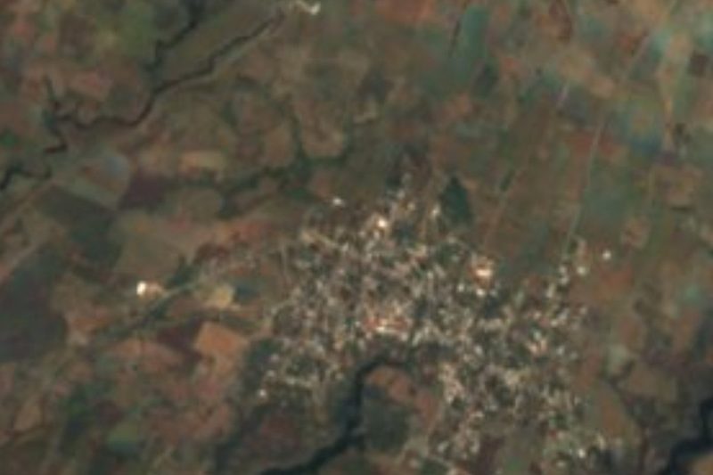

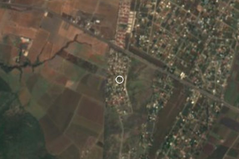
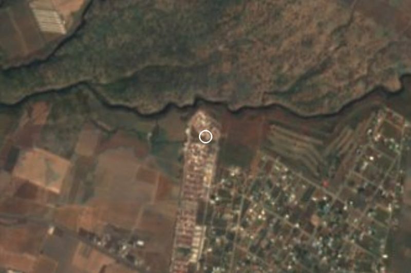

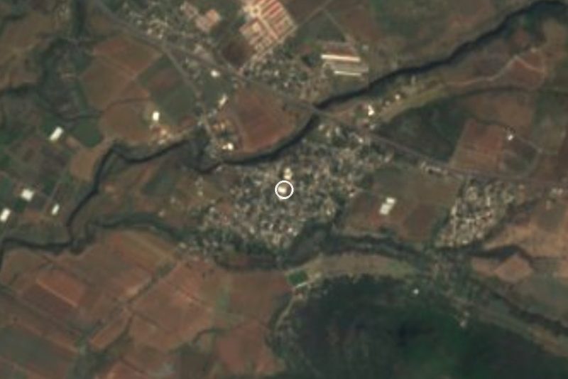


Drive times by road from OpenStreetMap, without traffic. Times marked ~ are estimated from the straight-line distance.
Location from OpenStreetMap. Written by Puebloteca.