Village Jantetelco, Morelos Municipality of Jantetelco
Municipal seat in eastern Morelos at 1,428 m, with the Augustinian convent of San Pedro and the museum of Father Mariano Matamoros.
From Cuautla: 20 min by car (25 km by road) How to get there ↓
Near here
See everything nearby ↓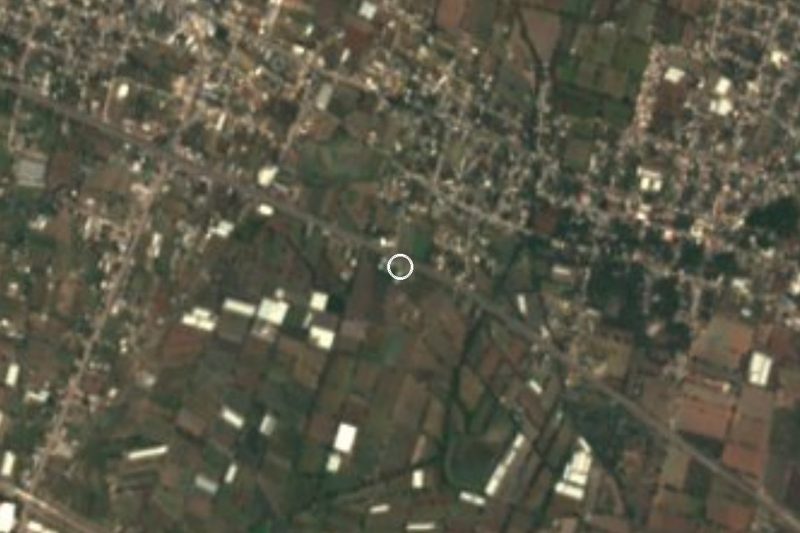


Plan your visit to Jantetelco
Where to stay near Jantetelco
Compare hotels, posadas and guest houses in Jantetelco.
Tours to Jantetelco
Day trips and guided outings from Tlayacapan often include Jantetelco; with a local guide you can get there without a car.
 Tours from Atlixco
Atlixco Volcano Views Popocatépetl Tour Forest Route
From US$108
How to get to Jantetelco
- From Cuautla: about 20 min by road (~25 km)
- Nearest airport: Mexico City (MEX), 1 h 33 min by car to Tlayacapan
Links open a partner site. We may earn a commission if you book, at no cost to you.
Tours from Atlixco, near Jantetelco
Tours, prices and ratings from Viator, checked weekly. We may earn a commission if you book.
About Jantetelco
Jantetelco, seat of the municipality of the same name, stands at 1,428 metres in eastern Morelos, close to the Puebla border. It had 5,050 residents in 2020. The name is Nahuatl and is usually read as "hill of adobe"; since 1874 the town has officially been Jantetelco de Matamoros, after the priest who made it famous.
Mariano Matamoros was the village priest in 1811. He joined José María Morelos at Izúcar and took part in the siege of Cuautla, and is counted among the heroes of Mexican Independence. Beside the convent his old room is preserved and became, in 1885, the small museum known as El Dormitorio. The Augustinian convent of San Pedro Apóstol was built between 1558 and 1571; an earthquake brought down its vaults in 1650 and they were mended in 1676. The facade and tower carry decoration that seems eighteenth century, and inside are two wooden altarpieces with oil paintings. It is one of fourteen Morelos convents on the World Heritage list. From the churchyard you can see the Peñón de Jantetelco, the rock that dominates the area.
The 2017 Axochiapan earthquake destroyed 281 homes in the municipality and damaged 191 others. The biggest fiestas are for San Pedro Apóstol on 29 June, with bands and chinelos, and 13 December, which recalls Matamoros's uprising.
How to get to Jantetelco
Drive from Cuautla: 20 min, 25 km
Jantetelco is about 68 km east of Cuernavaca, about 130 km south of Mexico City and about 80 km southwest of Puebla. From Cuautla, the nearest city (about 22 km in a straight line, roughly 30 to 40 minutes by road, approx.), take federal Highway 160 toward Izúcar de Matamoros (the Cuautla-Izúcar road runs through the municipality) and look for the turn-offs to Jantetelco; check the last stretch on a current map.
From Mexico City: a bus from TAPO to Cuautla and then a colectivo or taxi to Jantetelco, or by car on the Mexico-Cuautla toll road (115D) and then Highway 160. From Tlayacapan, the nearest pueblo on our list, allow over an hour (about 56 km). We found no current colectivo schedules or fares for Cuautla to Jantetelco; ask at the Cuautla terminal.
Directions to Jantetelco on Google Maps
Distances are in a straight line; the road is usually longer.
Links open a partner site. We may earn a commission if you book, at no cost to you.
From the nearest cities to Jantetelco
- Cuautla · 25 km by road, 20 min
- Atlixco · 51 km by road, 40 min
- Cuernavaca · 74 km by road, 1 h
Drive times by road from OpenStreetMap, without traffic or stops. Times marked ~ are estimated from the straight-line distance.
Before you go to Jantetelco: hours, prices and tips
- Best season
- Main fiestas: San Pedro Apóstol on 29 June, with bands and chinelos, and 13 December, which commemorates Father Matamoros's uprising. Wikipedia · checked Oct 2026
Hours and prices change, especially around holidays. Each fact links to where we checked it.
Visiting Jantetelco: what to see and do
Enter the church and ex convent of San Pedro Apóstol, on Reforma street, from the sixteenth century.
Look at the two wooden altarpieces with oil paintings.
Visit El Dormitorio, the museum in Father Mariano Matamoros's old room.
Step into the churchyard for a view of the Peñón de Jantetelco.
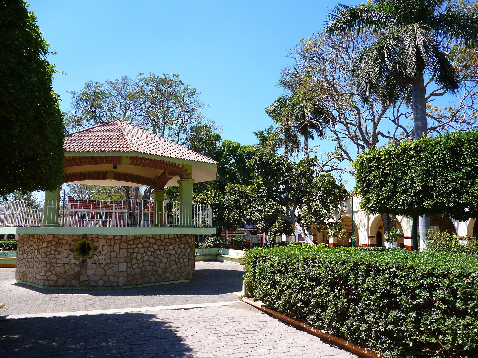
Stroll the plaza and its bandstand in the town centre.
Come on 29 June for the fiesta of San Pedro, with chinelos and bands.
Plan your trip
Places to stay in Jantetelco
Compare hotels, posadas, and rentals in and around Jantetelco.
Tours & activities
Day trips and guided outings from Tlayacapan often include Jantetelco; with a local guide you can get there without a car.
Rental cars
Pick up a car at MEX (Mexico City): about 1 h 33 min by road to Tlayacapan, then 34 km more to Jantetelco, on your own schedule.
Flights
The nearest airport with scheduled flights is Mexico City (MEX), about 1 h 33 min by road from Tlayacapan, the base for Jantetelco.
Mobile data
Signal can drop away from Tlayacapan: download a map of the way to Jantetelco before you set out, or carry an eSIM with data.
Links open a partner site. We may earn a commission if you book, at no cost to you.
When to go to Jantetelco mild
Jantetelco shares the climate of Tlayacapan, 34 km away. The best months to visit are January, February, March, and December.
See the month-by-month climate of Tlayacapan
Weather in Jantetelco now and the next 7 days
Live forecast from Open-Meteo. Chance of rain is the day's highest.
The closest Pueblo Mágico: Tlayacapan

Tlayacapan is the Pueblo Mágico closest to Jantetelco, with places to stay, food, and more to see.
Also close to
- Tlaltizapán · Morelos · 39 km away
- Atlixco · Puebla · 43 km away
- Tepoztlán · Morelos · 45 km away
- Xochitepec · Morelos · 57 km away
- Cholula · Puebla · 62 km away
Closest to Jantetelco
-
Balneario Acueducto · Hot springs · 1 km away
-
Amayuca · Village · 2 km away
-
Amilcingo · Village · 3 km away
-
Chalcatzingo · Archaeological site · 3 km away
-
El Chumil · Mountain · 3 km away
-
Amacuitlapilco · Village · 4 km away
-
Huazulco · Village · 4 km away
-
Zona Arqueológica Las Pilas · Archaeological site · 4 km away


Near Jantetelco

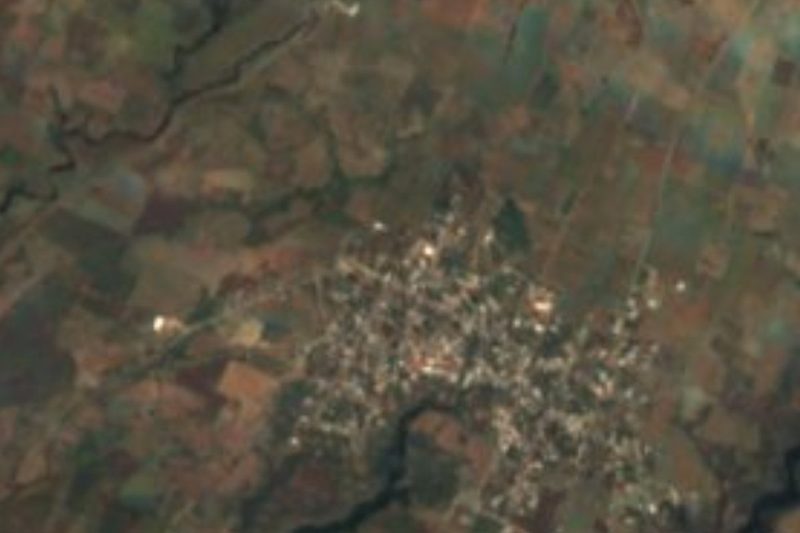
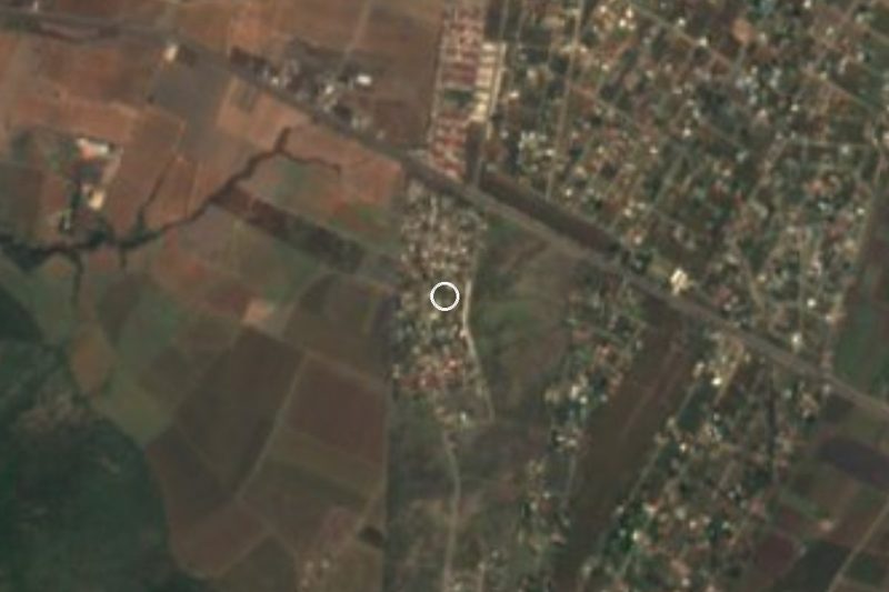
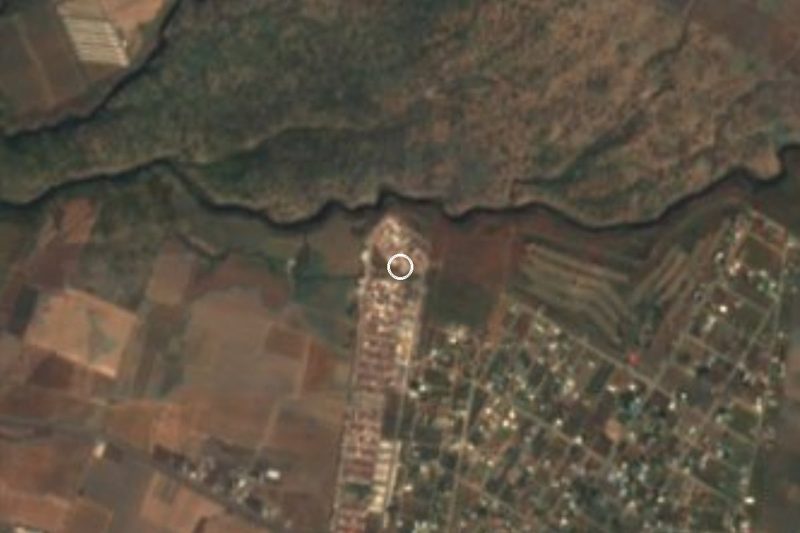


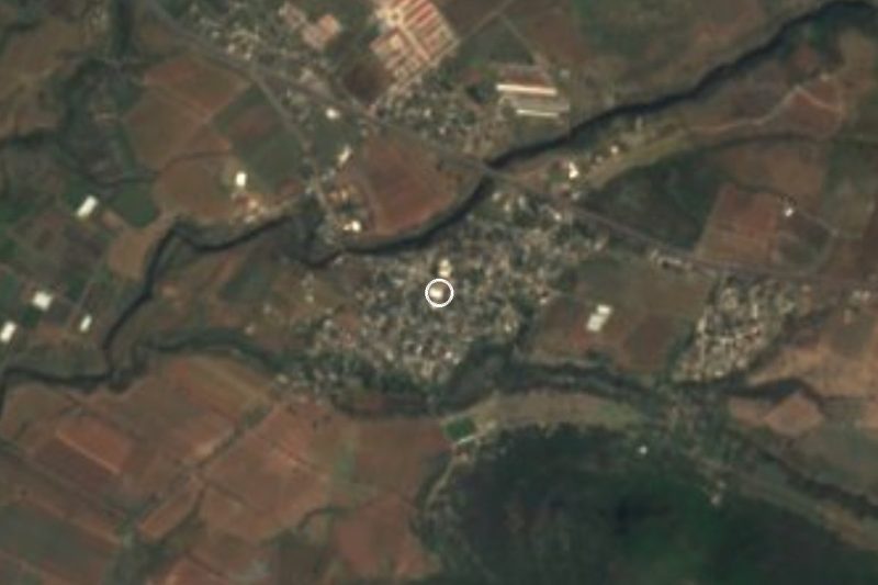


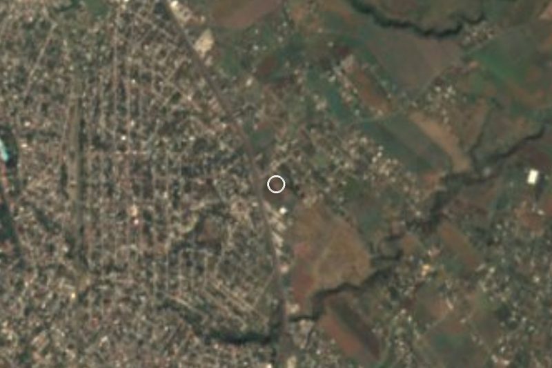
Drive times by road from OpenStreetMap, without traffic. Times marked ~ are estimated from the straight-line distance.
Location from OpenStreetMap. Written by Puebloteca.