Mountain Jantetelco, Morelos Municipality of Jantetelco
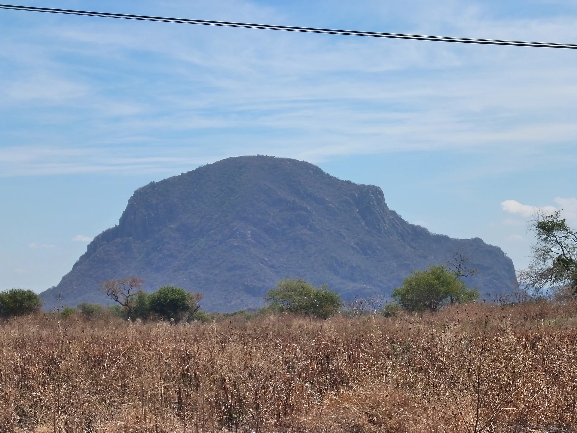
A 1,878 m hill in Jantetelco, also called Cerro Gordo or Cabeza de Mono, with a hiking trail, cabins and zip lines run by an ejido ecotourism centre.
From Cuautla: 30 min by car (29 km by road) How to get there ↓
Near here
See everything nearby ↓



Plan your visit to El Chumil
Where to stay near El Chumil
Compare hotels, posadas and guest houses in El Chumil.
Tours to El Chumil
Day trips and guided outings from Tlayacapan often include El Chumil; with a local guide you can get there without a car.
 Tours from Atlixco
Atlixco Volcano Views Popocatépetl Tour Forest Route
From US$108
How to get to El Chumil
- From Cuautla: about 30 min by road (~29 km)
- Nearest airport: Mexico City (MEX), 1 h 33 min by car to Tlayacapan
Links open a partner site. We may earn a commission if you book, at no cost to you.
Tours from Atlixco, near El Chumil
Tours, prices and ratings from Viator, checked weekly. We may earn a commission if you book.
About El Chumil
El Chumil is a hill in Jantetelco, in eastern Morelos, rising to 1,878 m above sea level and visible from many kilometres around. It goes by several names depending on who you ask: older residents call it Cerro Gordo, younger people Cerro del Chumil, after the chumil, an insect that is common there, and nearby villages know it as Cabeza de Mono, Monkey Head, for its silhouette. Wikipedia also lists it as Cerro de los Halcones, and Wikidata adds Peñón de Jantetelco. The municipality counts it among its natural attractions, alongside the Chalcatzingo archaeological zone.
The summit is a walk of about 5.8 km with a good deal of climbing: a demanding hike with rocky stretches, marked with green arrows, that ends at a lookout over the Jantetelco valley. Wear sturdy shoes, bring plenty of water, and do not try it without some fitness. At the foot of the hill is the Centro Ecoturístico Cerro del Chumil, on ejido land and run by a local committee; regional press describes adobe cabins, camping, a temazcal, a pool, a suspension bridge, bike rental and a zip-line circuit with seven points, the longest about 700 m. It closed for a time and reopened in 2025; We found no official page with hours or prices, so ask before you go.
How to get to El Chumil
Drive from Cuautla: 30 min, 29 km
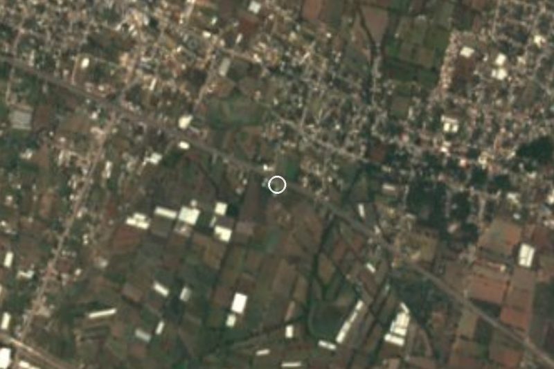
The hill is in the municipality of Jantetelco, about 130 km from Mexico City and about 25 km from Cuautla in a straight line (about 68 km from Cuernavaca by road). By car from Cuernavaca it is roughly 1 h 10 min: take the Mexico-Cuernavaca toll road and head toward Cuautla; in Cuautla, take federal highway 160 (Cuautla-Izúcar de Matamoros) toward Jantetelco, then the Camino al Peñón de Jantetelco to the ecotourism centre's parking lot. From Mexico City allow about 2 hours.
There is no direct public transport. From Cuernavaca, a local guide suggests an Estrella Roja or Ometochtli bus to the Cuautla terminal, then a combi to Jantetelco or Amayuca; in Jantetelco it is about 2.5 km on foot or by taxi to the centre's entrance. Count on about 2 h 45 min and 80 to 130 pesos in all, approx. Tlayacapan, the nearest pueblo on our list, is about 37 km away in a straight line, but the natural route is through Cuautla. Check that the centre is open before you set out.
Directions to El Chumil on Google Maps
Distances are in a straight line; the road is usually longer.
Links open a partner site. We may earn a commission if you book, at no cost to you.
From the nearest cities to El Chumil
Drive times by road from OpenStreetMap, without traffic or stops. Times marked ~ are estimated from the straight-line distance.
Before you go to El Chumil: hours, prices and tips
- What to bring
- The trail is demanding: wear sturdy footwear, bring enough water and do not attempt it without a minimum of fitness (about 5.8 km with significant climbing). Azteca Morelos · checked Oct 2026
Hours and prices change, especially around holidays. Each fact links to where we checked it.
Visiting El Chumil: what to see and do
Climb the roughly 5.8 km trail, marked with green arrows, to the summit lookout.
Look over the Jantetelco valley from above, and spot the Monkey Head silhouette from town.
Try the ecotourism centre's zip lines: seven points, the longest about 700 m.
Stay a night in the adobe cabins or the camping area.
Go down to Jantetelco to see the former convent of San Pedro Apóstol.
Drive a few kilometres to Chalcatzingo for its Olmec carvings.
Plan your trip
Places to stay in El Chumil
Compare hotels, posadas, and rentals in and around El Chumil.
Tours & activities
Day trips and guided outings from Tlayacapan often include El Chumil; with a local guide you can get there without a car.
Rental cars
Pick up a car at MEX (Mexico City): about 1 h 33 min by road to Tlayacapan, then 37 km more to El Chumil, on your own schedule.
Flights
The nearest airport with scheduled flights is Mexico City (MEX), about 1 h 33 min by road from Tlayacapan, the base for El Chumil.
Travel insurance
If you plan on hiking at altitude at El Chumil, check that your policy covers it: some plans leave adventure activities out.
Mobile data
Signal can drop away from Tlayacapan: download a map of the way to El Chumil before you set out, or carry an eSIM with data.
Links open a partner site. We may earn a commission if you book, at no cost to you.
When to go to El Chumil mild
El Chumil shares the climate of Tlayacapan, 37 km away. The best months to visit are January, February, March, and December.
For the clearest views from El Chumil, go in the driest months (January, February, March, and December); in the rains, clouds tend to build up by midday.
See the month-by-month climate of Tlayacapan
Weather in El Chumil now and the next 7 days
Live forecast from Open-Meteo. Chance of rain is the day's highest.
The closest Pueblo Mágico: Tlayacapan

Tlayacapan is the Pueblo Mágico closest to El Chumil, with places to stay, food, and more to see.
Also close to
- Tlaltizapán · Morelos · 41 km away
- Atlixco · Puebla · 41 km away
- Tepoztlán · Morelos · 48 km away
- Xochitepec · Morelos · 60 km away
- Cholula · Puebla · 61 km away
Closest to El Chumil
-
Chalcatzingo · Archaeological site · 3 km away
-
Jantetelco · Village · 3 km away
-
Balneario Acueducto · Hot springs · 4 km away
-
Amayuca · Village · 5 km away
-
Amilcingo · Village · 5 km away
-
Huazulco · Village · 6 km away
-
Jonacatepec · Town · 6 km away
-
Zona Arqueológica Las Pilas · Archaeological site · 6 km away


Near El Chumil
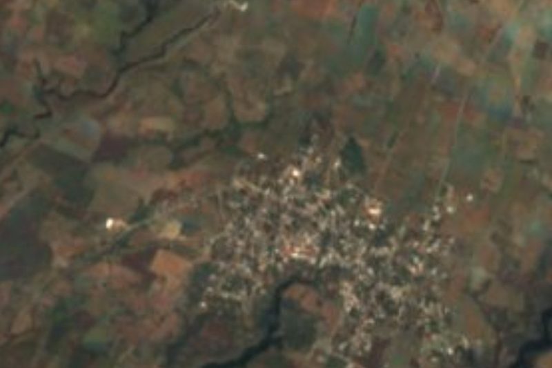


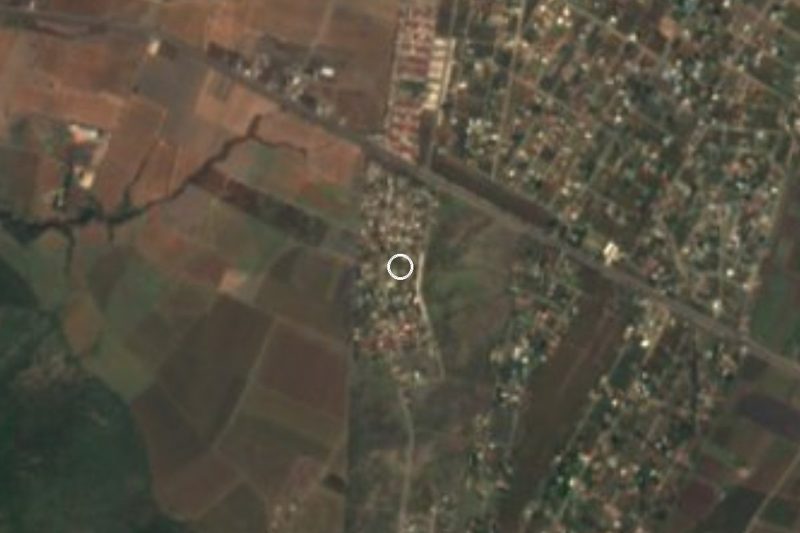


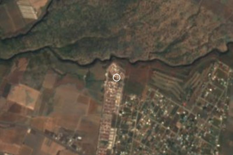
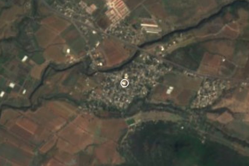

Drive times by road from OpenStreetMap, without traffic. Times marked ~ are estimated from the straight-line distance.
Lists with El Chumil
Mountains near Cuautla · 9 Mountains near Tlayacapan · 12 Mountains near Atlixco · 9 Mountains near Tlaltizapán · 3 Mountains near Tepoztlán · 13 Mountains near Cuernavaca · 10 Mountains near Xochitepec · 7Location from OpenStreetMap. Written by Puebloteca.