

Village Tepexco, Puebla Mixteca Poblana
Hot-country town on the Morelos border, "on the face of the hill", with a 16th-century Dominican church of the Virgin of Ocotlán.
From Cuautla: 30 min by car (36 km by road) How to get there ↓
Near here
See everything nearby ↓


Plan your visit to Tepexco
Where to stay near Tepexco
Compare hotels, posadas and guest houses in Tepexco.
Tours to Tepexco
Day trips and guided outings from Atlixco often include Tepexco; with a local guide you can get there without a car.
How to get to Tepexco
- From Cuautla: about 30 min by road (~36 km)
- Nearest airport: Puebla (PBC), 41 min by car to Atlixco
Links open a partner site. We may earn a commission if you book, at no cost to you.
About Tepexco
"On the face of the hill", from tepetl, hill, ixtli, face, and co, place: that is Tepexco, the seat of a hot-country Puebla municipality on the Morelos line. The town had 1,698 people in 2020 and stands at about 1,180 m; Cuautla is about 34 km away and Atlixco 41. The municipality was created in 1895.
In the town, Dominican friars built the parish church of the Virgin of Ocotlán in the 16th century. The municipality, about 117 km², borders Cohuecan, Acteopan, Huaquechula, Tlapanalá, Tilapa and Chietla, and to the west the Morelos municipalities of Jantetelco and Axochiapan. Its altitude ranges from 1,000 to 1,800 m.
The climate is warm and sub-humid, averaging 21 to 25 °C with summer rain. More than half the land is dry tropical forest; the Grande, Grande de San Francisco and Las Garzas rivers, tributaries of the Nexapa, cross it, and there is a reservoir, Tierra y Libertad. Local cooking is among the most varied in the region: salted mole, huaxmole, red and green mole, pipián, country bread and tamales, plus jamoncillo and preserves of squash, peach, peanut, mango and fig, with aguardiente, chocolate and atole to drink.
How to get to Tepexco
Drive from Cuautla: 30 min, 36 km
Tepexco lies in south-western Puebla on the Morelos line, about 68 km in a straight line from Puebla city. From Atlixco (41 km) the road drops through the Huaquechula area; from Cuautla in Morelos it is about 34 km.
Directions to Tepexco on Google Maps
Distances are in a straight line; the road is usually longer.
Links open a partner site. We may earn a commission if you book, at no cost to you.
From the nearest cities to Tepexco
- Cuautla · 36 km by road, 30 min
- Atlixco · 62 km by road, 50 min
- Cuernavaca · 86 km by road, 1 h 10 min
Drive times by road from OpenStreetMap, without traffic or stops. Times marked ~ are estimated from the straight-line distance.
Visiting Tepexco: what to see and do
The 16th-century Dominican church of the Virgin of Ocotlán.
The Tierra y Libertad reservoir.
Pair it with Cuautla in Morelos or with Atlixco.
Plan your trip
Places to stay in Tepexco
Compare hotels, posadas, and rentals in and around Tepexco.
Tours & activities
Day trips and guided outings from Atlixco often include Tepexco; with a local guide you can get there without a car.
Rental cars
Pick up a car at PBC (Puebla): about 41 min by road to Atlixco, then 41 km more to Tepexco, on your own schedule.
Flights
The nearest airport with scheduled flights is Puebla (PBC), about 41 min by road from Atlixco, the base for Tepexco.
Mobile data
Signal can drop away from Atlixco: download a map of the way to Tepexco before you set out, or carry an eSIM with data.
Links open a partner site. We may earn a commission if you book, at no cost to you.
When to go to Tepexco mild
Tepexco shares the climate of Atlixco, 41 km away. The best months to visit are January, February, March, and December.
See the month-by-month climate of Atlixco
Weather in Tepexco now and the next 7 days
Live forecast from Open-Meteo. Chance of rain is the day's highest.
The closest Pueblo Mágico: Atlixco

Atlixco is the Pueblo Mágico closest to Tepexco, with places to stay, food, and more to see.
Also close to
- Tlayacapan · Morelos · 46 km away
- Tlaltizapán · Morelos · 48 km away
- Tepoztlán · Morelos · 57 km away
- Cholula · Puebla · 61 km away
- Huejotzingo · Puebla · 65 km away
Closest to Tepexco
-
Tenango · Village · 7 km away
-
El Chumil · Mountain · 9 km away
-
La Nopalera · Village · 9 km away
-
Marcelino Rodríguez · Village · 9 km away
-
Tetelilla · Village · 9 km away
-
Chalcatzingo · Archaeological site · 10 km away
-
Atlacahualoya · Village · 12 km away
-
Jantetelco · Village · 12 km away

Near Tepexco
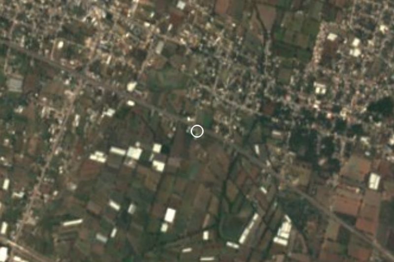


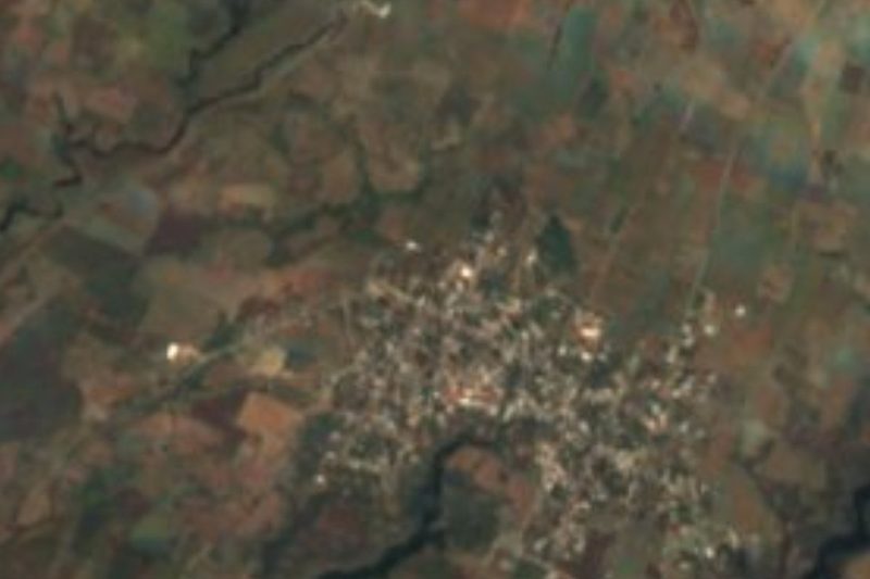
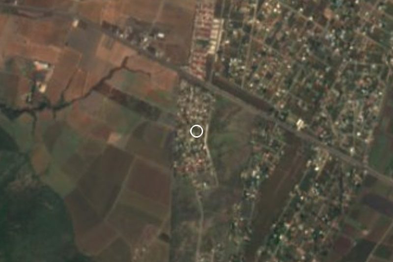

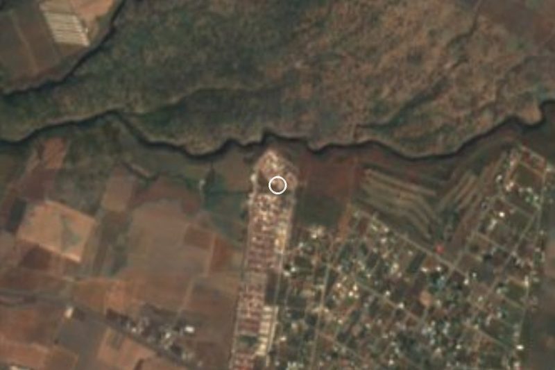


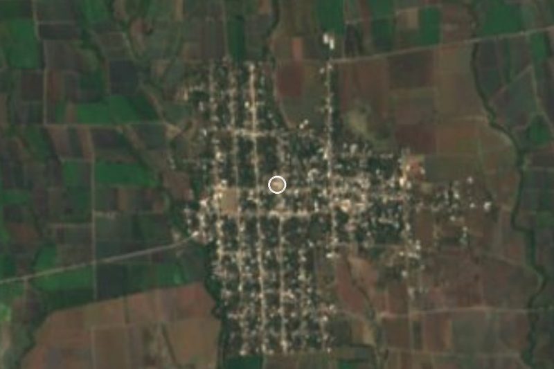
Drive times by road from OpenStreetMap, without traffic. Times marked ~ are estimated from the straight-line distance.
Location from OpenStreetMap. Written by Puebloteca.