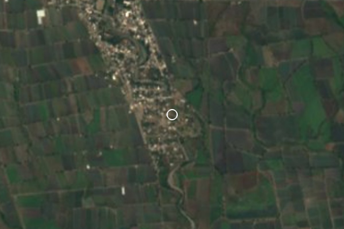
Village Axochiapan, Morelos Municipality of Axochiapan
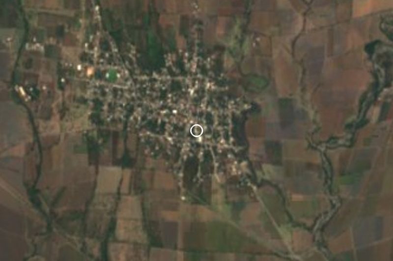
Rural locality in Axochiapan, also called Guayacán, at 1,091 m and about 8 km north of the town; 412 residents in 2020.
From Cuautla: 40 min by car (44 km by road) How to get there ↓
Near here
See everything nearby ↓

Plan your visit to La Nopalera
Where to stay near La Nopalera
Compare hotels, posadas and guest houses in La Nopalera.
Tours to La Nopalera
Day trips and guided outings from Tlaltizapán often include La Nopalera; with a local guide you can get there without a car.
 Tours from Atlixco
Atlixco Volcano Views Popocatépetl Tour Forest Route
From US$108
How to get to La Nopalera
- From Cuautla: about 40 min by road (~44 km)
- Nearest airport: Mexico City (MEX), 1 h 55 min by car to Tlaltizapán
Links open a partner site. We may earn a commission if you book, at no cost to you.
Tours from Atlixco, near La Nopalera
Tours, prices and ratings from Viator, checked weekly. We may earn a commission if you book.
About La Nopalera
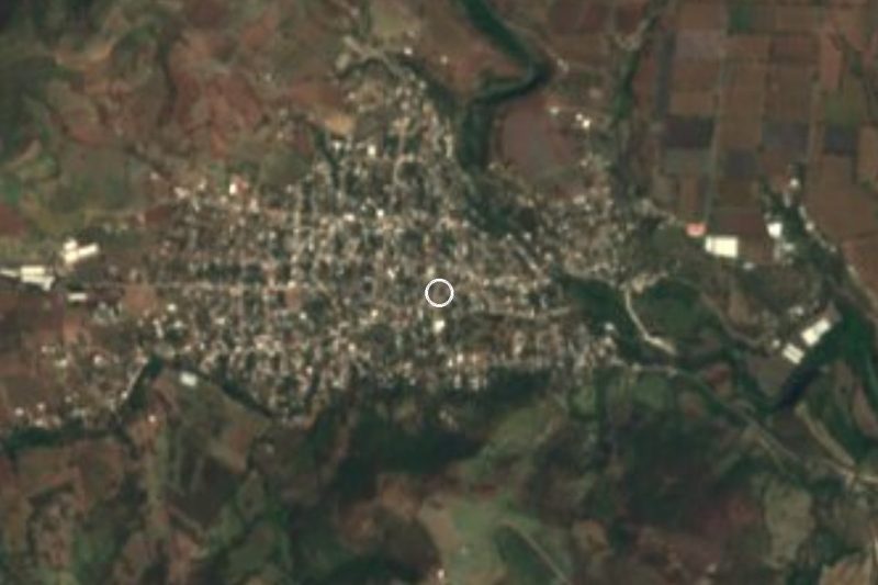
In the north of Axochiapan municipality, at 1,091 metres above sea level, sits a farming settlement that INEGI lists as La Nopalera and that some sources also label Guayacán. The 2020 census counted 412 people, against 200 in 2010 and 153 in 2005, living in about 76 occupied homes; it ranks eleventh among the municipality's 65 localities. Roughly 38% of residents identify as indigenous and about 30% speak an indigenous language.
There are no formal sights here; this is working farmland. The municipality lives mainly on trade and agriculture: rain-fed plots grow maize, sorghum, peanuts, beans and squash, irrigated ones onions, sugarcane and cucumbers, and the Amatzinac river crosses the territory, while gypsum is a notable local resource. The climate is warm and semi-arid, with a mean annual temperature near 23.5 °C and about 990 mm of rain, most of it from June to September.
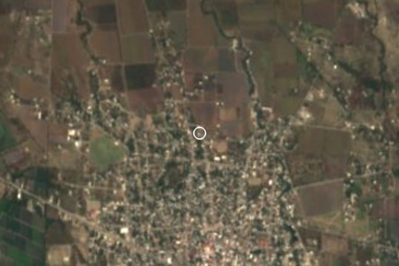
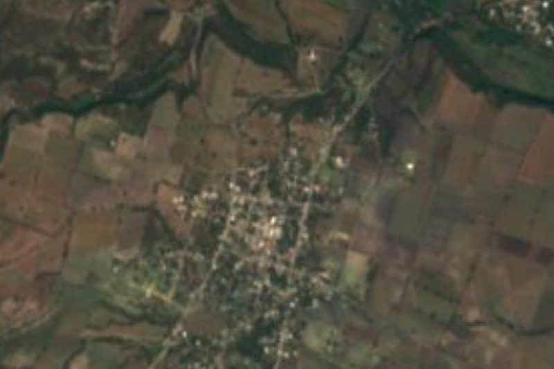
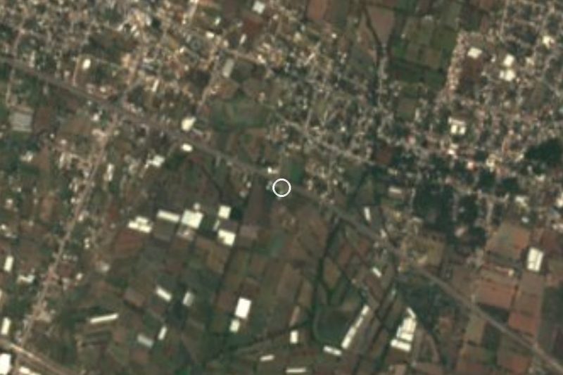
The surroundings are well populated. Less than a kilometre to the west lies Marcelino Rodríguez (San Ignacio), with over 2,200 residents, and about 3.4 km north is Telixtac, with more than 5,500; La Toma and Atlacahualoya lie to the east. To the northeast, 4 to 6 km away, rise low hills such as El Mirador (1,150 m) and Coyotomates (1,189 m). There is no lodging in the village itself: the nearest hotels are in Axochiapan town, roughly 10 to 12 km south by road. Treat it as a place where people live and farm, with nothing set up for visitors.
How to get to La Nopalera
Drive from Cuautla: 40 min, 44 km
La Nopalera lies about 8 km due north of Axochiapan, the municipal seat, and about 36 km (straight line) from Cuautla; by road it is longer, roughly 45 minutes to an hour by car. Axochiapan is linked by federal roads to Cuautla, Izúcar de Matamoros, Iguala, Tenango and Chiautla de Tapia, and from town a local road heads north through Marcelino Rodríguez (San Ignacio), less than 1 km west of the village. Telixtac, further north, is also reached by road from Axochiapan.
By public transport the practical step is to get to Axochiapan first. Four bus terminals serve it: Autobuses Volcanes y Sur (to Cuautla, Izúcar de Matamoros, Chiautla de Tapia and Mexico City), Estrella Roja de Cuautla (to Cuautla, Cuernavaca and Mexico City), Mártires del Sur (to Cuautla) and Blancos del Sur (to places in Puebla). From Mexico City, leave from Terminal Sur Taxqueña or TAPO and confirm the Axochiapan departure there. We found no documented line from the town to the village itself: ask for a taxi or combi toward Marcelino Rodríguez or Telixtac and walk the last stretch. Allow about 8 to 10 km from central Axochiapan.
Directions to La Nopalera on Google Maps
Distances are in a straight line; the road is usually longer.
Links open a partner site. We may earn a commission if you book, at no cost to you.
From the nearest cities to La Nopalera
- Cuautla · 44 km by road, 40 min
- Atlixco · 69 km by road, 1 h
- Cuernavaca · 94 km by road, 1 h 20 min
Drive times by road from OpenStreetMap, without traffic or stops. Times marked ~ are estimated from the straight-line distance.
Before you go to La Nopalera: hours, prices and tips
- Best season
- Warm and semi-arid: mean annual temperature near 23.5 °C and about 990 mm of rain, falling on roughly 190 days a year. Pueblos de América · checked Oct 2026
Hours and prices change, especially around holidays. Each fact links to where we checked it.
Visiting La Nopalera: what to see and do
Walk the farm tracks between maize plots, with respect for the people working them.
Cross to Marcelino Rodríguez (San Ignacio), the large neighbour, under 1 km west.
Continue to Telixtac, about 3.4 km north, for shops and services.
Climb the hills of El Mirador (1,150 m) and Coyotomates (1,189 m), 4 to 5 km northeast.
Drop down to Axochiapan for its town centre, founded in 1542 as San Pablo de Axochiapan.
Ask about the Los Amates and La Aurora spas, with semi-sulfurous water, in the municipality.
Plan your trip
Places to stay in La Nopalera
Compare hotels, posadas, and rentals in and around La Nopalera.
Tours & activities
Day trips and guided outings from Tlaltizapán often include La Nopalera; with a local guide you can get there without a car.
Rental cars
Pick up a car at MEX (Mexico City): about 1 h 55 min by road to Tlaltizapán, then 44 km more to La Nopalera, on your own schedule.
Flights
The nearest airport with scheduled flights is Mexico City (MEX), about 1 h 55 min by road from Tlaltizapán, the base for La Nopalera.
Mobile data
Signal can drop away from Tlaltizapán: download a map of the way to La Nopalera before you set out, or carry an eSIM with data.
Links open a partner site. We may earn a commission if you book, at no cost to you.
When to go to La Nopalera warm
La Nopalera shares the climate of Tlaltizapán, 44 km away. The best months to visit are January, October, November, and December.
See the month-by-month climate of Tlaltizapán
Weather in La Nopalera now and the next 7 days
Live forecast from Open-Meteo. Chance of rain is the day's highest.
The closest Pueblo Mágico: Tlaltizapán

Tlaltizapán is the Pueblo Mágico closest to La Nopalera, with places to stay, food, and more to see.
Also close to
- Atlixco · Puebla · 50 km away
- Tlayacapan · Morelos · 50 km away
- Tepoztlán · Morelos · 60 km away
- Xochitepec · Morelos · 65 km away
- Cholula · Puebla · 71 km away
Closest to La Nopalera
-
Marcelino Rodríguez · Village · 1 km away
-
Atlacahualoya · Village · 4 km away
-
Telixtac · Village · 4 km away
-
Tenango · Village · 5 km away
-
Tetelilla · Village · 5 km away
-
Cuauhtémoc · Village · 7 km away
-
Axochiapan · Village · 8 km away
-
Quebrantadero · Village · 8 km away


Near La Nopalera






Drive times by road from OpenStreetMap, without traffic. Times marked ~ are estimated from the straight-line distance.
Location from OpenStreetMap. Written by Puebloteca.