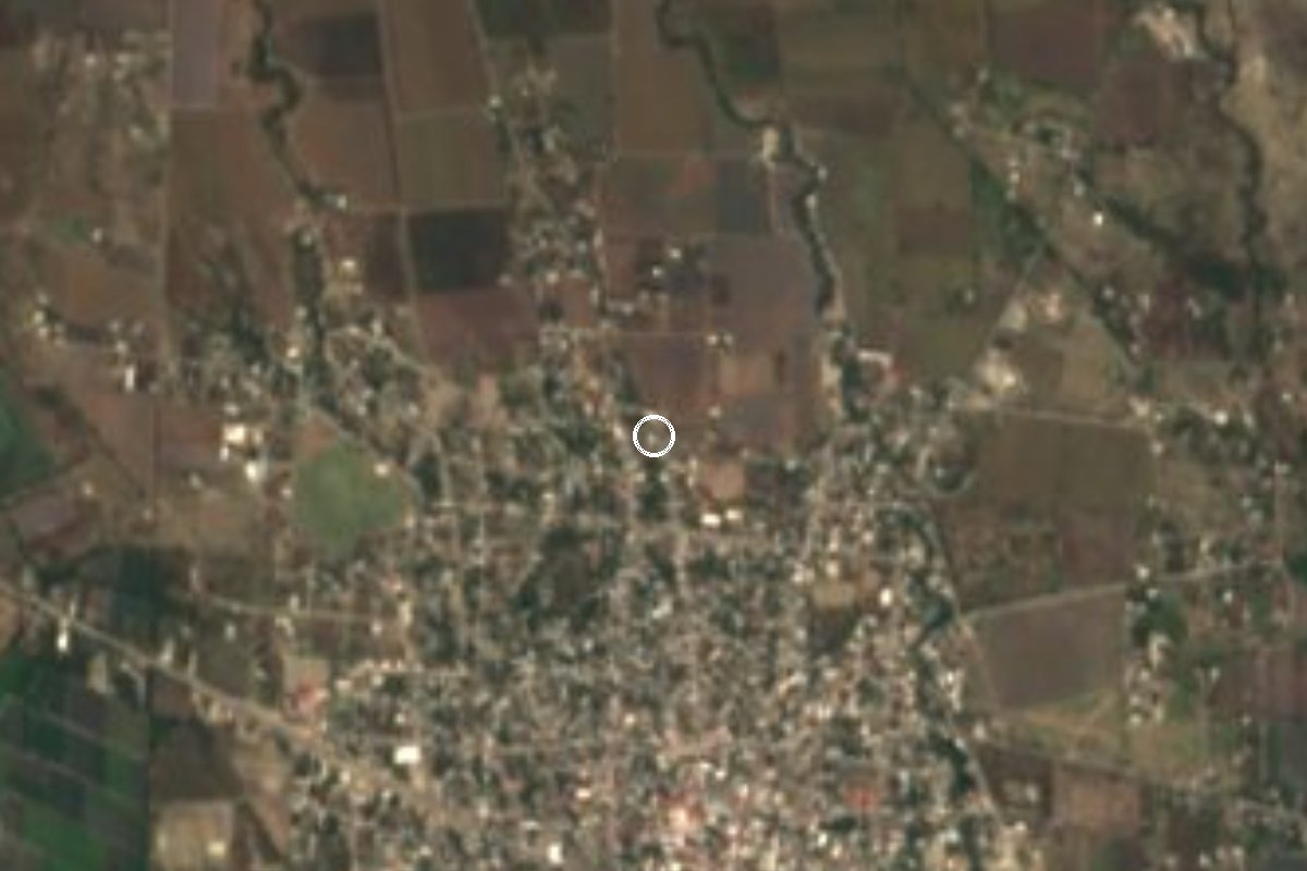
Village Axochiapan, Morelos Municipality of Axochiapan
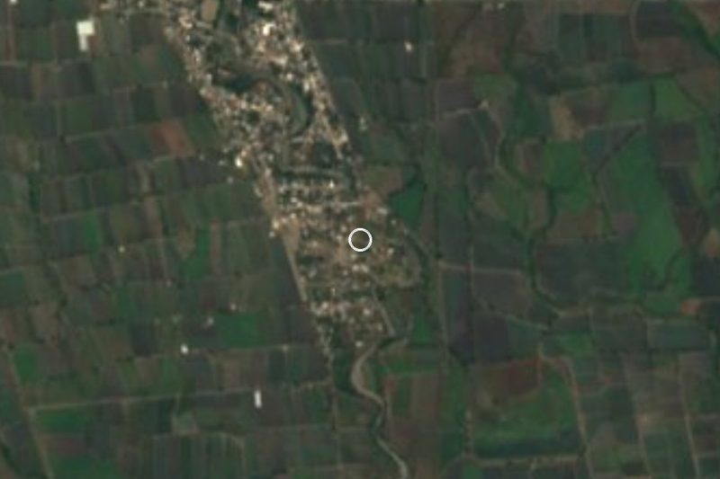
A locality of 531 people that doubled in size between 2010 and 2020, 1 km from Axochiapan, Morelos, near the Puebla border.
From Cuautla: 50 min by car (52 km by road) How to get there ↓
Near here
See everything nearby ↓

Plan your visit to Cuauhtémoc
Where to stay near Cuauhtémoc
Compare hotels, posadas and guest houses in Cuauhtémoc.
Tours to Cuauhtémoc
Day trips and guided outings from Tlaltizapán often include Cuauhtémoc; with a local guide you can get there without a car.
 Tours from Atlixco
Atlixco Volcano Views Popocatépetl Tour Forest Route
From US$108
How to get to Cuauhtémoc
- From Cuautla: about 50 min by road (~52 km)
- Nearest airport: Mexico City (MEX), 1 h 55 min by car to Tlaltizapán
Links open a partner site. We may earn a commission if you book, at no cost to you.
Tours from Atlixco, near Cuauhtémoc
Tours, prices and ratings from Viator, checked weekly. We may earn a commission if you book.
About Cuauhtémoc
Few places in Morelos have grown as fast as this Cuauhtémoc. INEGI counted 159 people in 2005, 257 in 2010 and 531 in 2020, more than double in a decade, and it is now the ninth largest of the 65 localities in the municipality of Axochiapan. Occupied homes rose from 78 to 117 between 2010 and 2020, and over the same years piped water went from 29% to 75% of homes and internet from none to almost 20%.
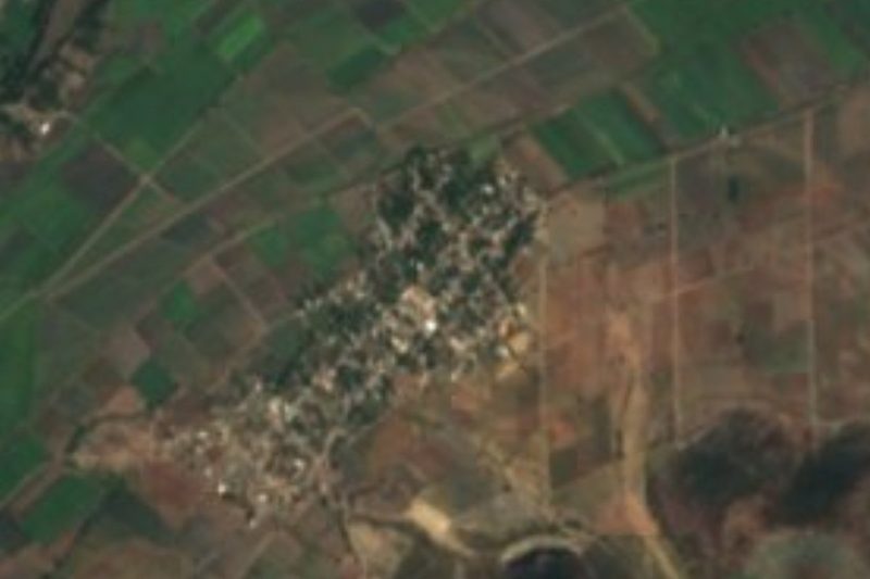
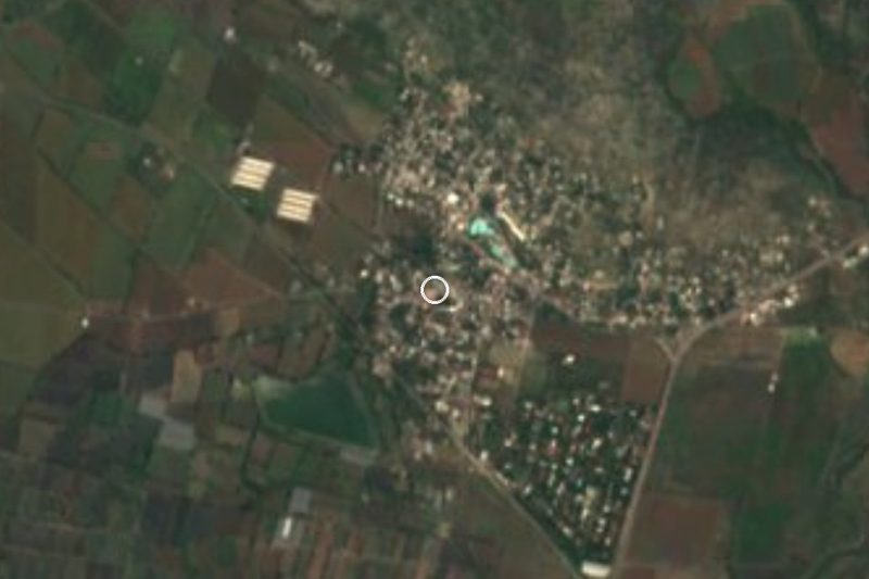
It lies at about 1,040 m, right beside the municipal seat: Axochiapan, with 19,085 people, is just over a kilometre away, so Cuauhtémoc works almost like an outlying district of the town. Small colonias cluster around it, such as Rubén Carrillo (139 people), La Guadalupana (115), Carrillo Olea or La Primavera (240) and Los Tres Reyes (57). Some 45% of residents aged 12 and over have paid work, and about one in five was born outside the state. The postal code is 62955.
This is low, hot country: 23.8 °C on average, with April averaging 27 °C, record highs of 41 °C and about 920 mm of rain. Hills such as El Vaquero (1,090 m) and El Empinado (1,221 m) lie to the west, but more than 6 km away. Several hotels are 1 or 2 km off, mostly to the south and southeast.
How to get to Cuauhtémoc
Drive from Cuautla: 50 min, 52 km
Cuauhtémoc is just over 1 km from Axochiapan, in the far east of Morelos, almost at the Puebla border. From Cuautla it is about 41 km in a straight line (roughly 45 minutes to an hour by car) along the Cuautla-Jonacatepec-Axochiapan corridor, which follows federal highway 160 toward Izúcar de Matamoros, Puebla. From Mexico City, reach Cuautla first (federal highway 115 joins 160 at Cuautlixco, north of the city).
By bus, the Cuautla-Jonacatepec leg takes about 40 minutes with hourly departures; from there continue to Axochiapan by another bus or colectivo (check with the local lines, as we found no published timetable). Once in Axochiapan, Cuauhtémoc is about a 15-minute walk or a short taxi ride. From Tlaltizapán, the nearest pueblo on our list, it is about 45 km as the crow flies and roughly an hour by road.
Directions to Cuauhtémoc on Google Maps
Distances are in a straight line; the road is usually longer.
Links open a partner site. We may earn a commission if you book, at no cost to you.
From the nearest cities to Cuauhtémoc
- Cuautla · 52 km by road, 50 min
- Atlixco · 78 km by road, 1 h 10 min
- Cuernavaca · 102 km by road, 1 h 30 min
Drive times by road from OpenStreetMap, without traffic or stops. Times marked ~ are estimated from the straight-line distance.
Visiting Cuauhtémoc: what to see and do
Walk to Axochiapan, just over 1 km away, and walk its streets.
Stroll the neighbouring colonias: Rubén Carrillo, La Guadalupana and La Primavera.
Head out to the fields north of the houses.
Look west across the plain to the hills of El Vaquero and El Empinado.
Eat at the taquerías nearby, 500 m away or less.
Plan your trip
Places to stay in Cuauhtémoc
Compare hotels, posadas, and rentals in and around Cuauhtémoc.
Tours & activities
Day trips and guided outings from Tlaltizapán often include Cuauhtémoc; with a local guide you can get there without a car.
Rental cars
Pick up a car at MEX (Mexico City): about 1 h 55 min by road to Tlaltizapán, then 45 km more to Cuauhtémoc, on your own schedule.
Flights
The nearest airport with scheduled flights is Mexico City (MEX), about 1 h 55 min by road from Tlaltizapán, the base for Cuauhtémoc.
Mobile data
Signal can drop away from Tlaltizapán: download a map of the way to Cuauhtémoc before you set out, or carry an eSIM with data.
Links open a partner site. We may earn a commission if you book, at no cost to you.
When to go to Cuauhtémoc warm
Cuauhtémoc shares the climate of Tlaltizapán, 45 km away. The best months to visit are January, October, November, and December.
See the month-by-month climate of Tlaltizapán
Weather in Cuauhtémoc now and the next 7 days
Live forecast from Open-Meteo. Chance of rain is the day's highest.
The closest Pueblo Mágico: Tlaltizapán

Tlaltizapán is the Pueblo Mágico closest to Cuauhtémoc, with places to stay, food, and more to see.
Also close to
- Tlayacapan · Morelos · 55 km away
- Atlixco · Puebla · 56 km away
- Tepoztlán · Morelos · 64 km away
- Xochitepec · Morelos · 66 km away
- Cholula · Puebla · 77 km away
Closest to Cuauhtémoc
-
Axochiapan · Village · 1 km away
-
Atlacahualoya · Village · 4 km away
-
Quebrantadero · Village · 4 km away
-
Teotlalco · Village · 5 km away
-
Telixtac · Village · 6 km away
-
La Nopalera · Village · 7 km away
-
Ixtlilco el Grande · Village · 8 km away
-
Marcelino Rodríguez · Village · 8 km away
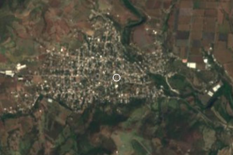
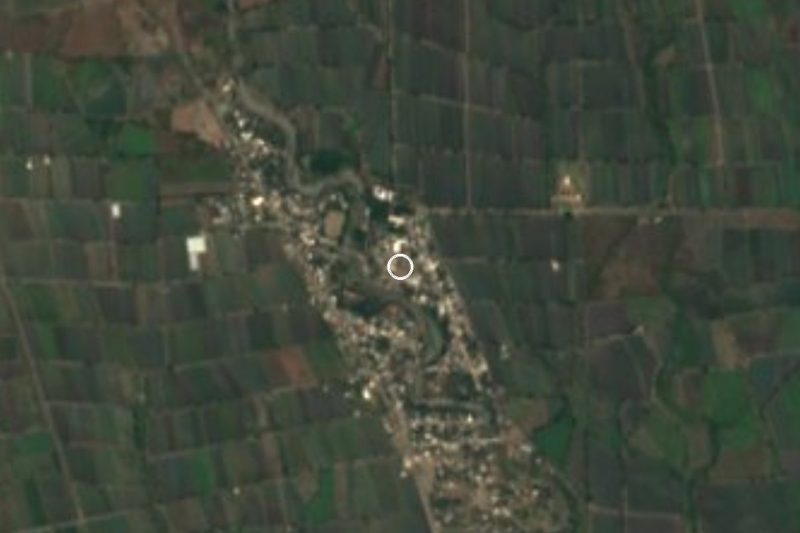
Near Cuauhtémoc

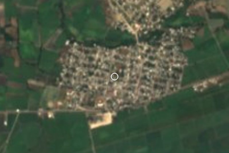
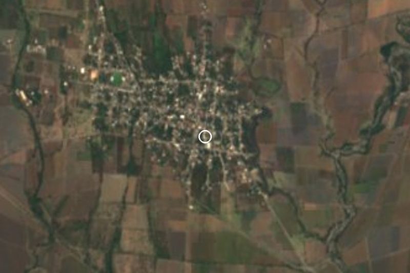




Drive times by road from OpenStreetMap, without traffic. Times marked ~ are estimated from the straight-line distance.
Location from OpenStreetMap. Written by Puebloteca.