

7 places with their own page in the municipality of Axochiapan, in the state of Morelos.
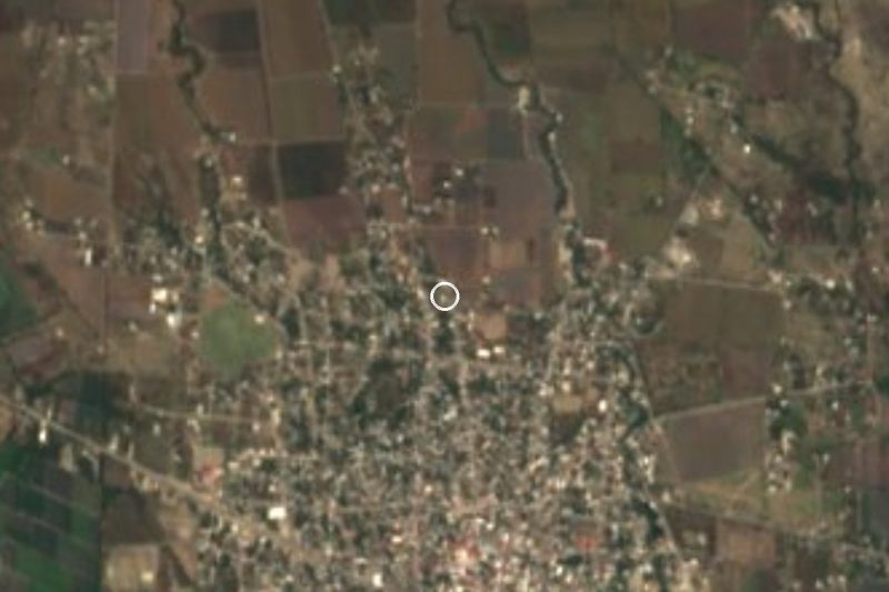
Map of Axochiapan
Places to visit in Axochiapan
Villages
-
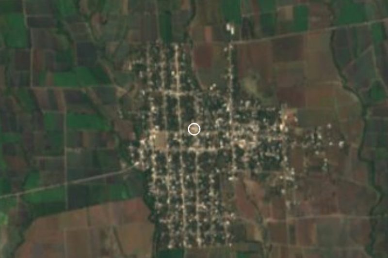
Axochiapan · Village
Municipal seat in far southeast Morelos by the Puebla line: a water-lily name, 16th-century churches and a January fair of tecuán dancers. -
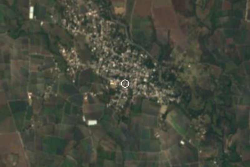
Quebrantadero · Village
A village in southeast Morelos, 5 km from Axochiapan near the Puebla line; San José feast on 19 March and a mojiganga in September. -
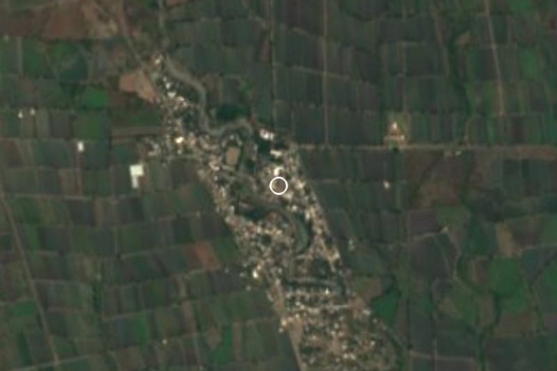
Telixtac · Village
Clay-pottery village in Axochiapan, southern Morelos; the municipality's second-largest locality, with a 16th-century church to Mary Magdalene. -
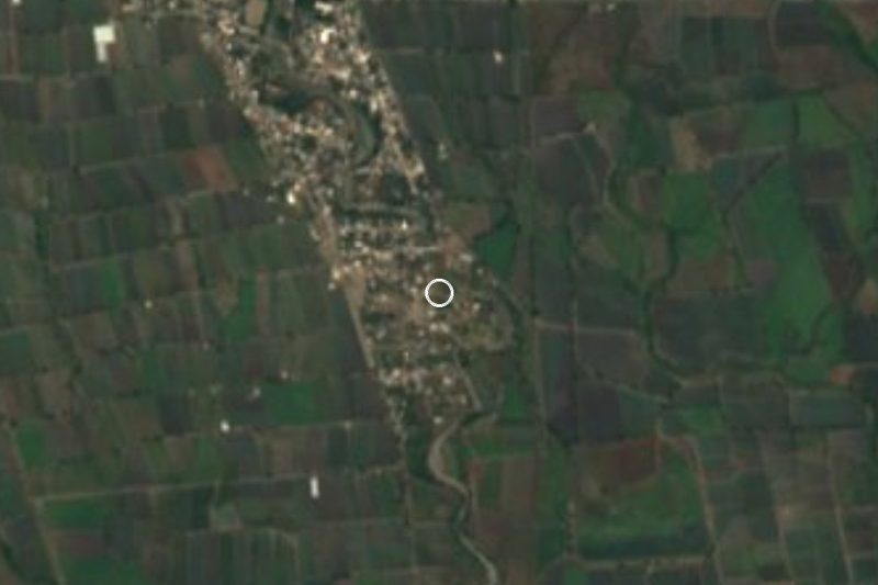
Atlacahualoya · Village
San Miguel Atlacahualoya, third-largest locality in Axochiapan with 3,818 residents: a former parish seat near the Puebla border. -
Marcelino Rodríguez · Village
Former San Ignacio hacienda on the Amatzinac River north of Axochiapan, known for figs and its 31 July patron feast. -
La Nopalera · Village
Rural locality in Axochiapan, also called Guayacán, at 1,091 m and about 8 km north of the town; 412 residents in 2020. -
Cuauhtémoc · Village
A locality of 531 people that doubled in size between 2010 and 2020, 1 km from Axochiapan, Morelos, near the Puebla border.


Neighbouring municipalities
Tepalcingo · 6 Jonacatepec · 4 Jantetelco · 6 Temoac · 3 Zacualpan de Amilpas · 3 Ayala · 21 Yecapixtla · 12 Tlaquiltenango · 10
More of Morelos
Every place in Morelos → Waterfalls in Morelos · 3 Hot Springs in Morelos · 10 Ruins in Morelos · 9 Lakes and Lagoons in Morelos · 4 Nature Parks in Morelos · 8 Haciendas in Morelos · 7