

Village Axochiapan, Morelos Municipality of Axochiapan
Municipal seat in far southeast Morelos by the Puebla line: a water-lily name, 16th-century churches and a January fair of tecuán dancers.
From Cuautla: 50 min by car (53 km by road) How to get there ↓
Near here
See everything nearby ↓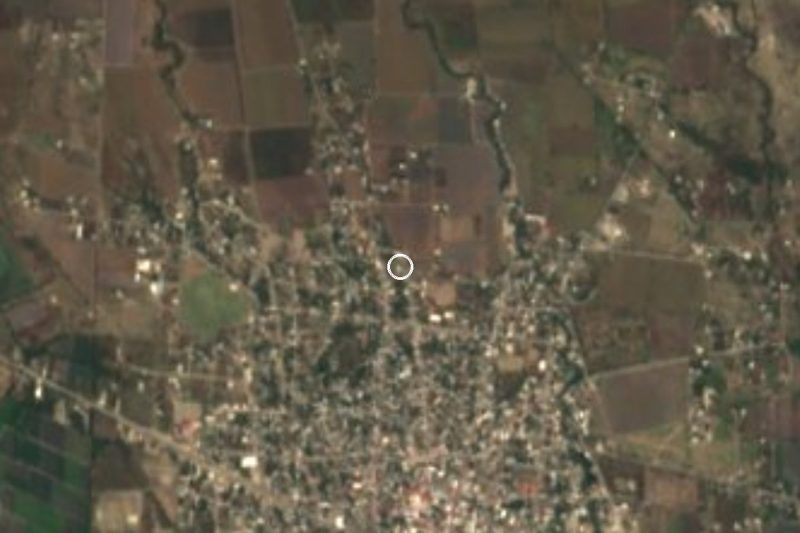

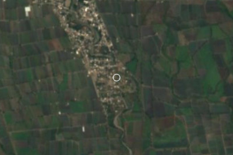
Plan your visit to Axochiapan
Where to stay near Axochiapan
Compare hotels, posadas and guest houses in Axochiapan.
Tours to Axochiapan
Day trips and guided outings from Tlaltizapán often include Axochiapan; with a local guide you can get there without a car.
 Tours from Atlixco
Atlixco Volcano Views Popocatépetl Tour Forest Route
From US$108
How to get to Axochiapan
- From Cuautla: about 50 min by road (~53 km)
- Nearest airport: Mexico City (MEX), 1 h 55 min by car to Tlaltizapán
Links open a partner site. We may earn a commission if you book, at no cost to you.
Tours from Atlixco, near Axochiapan
Tours, prices and ratings from Viator, checked weekly. We may earn a commission if you book.
About Axochiapan
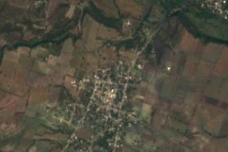
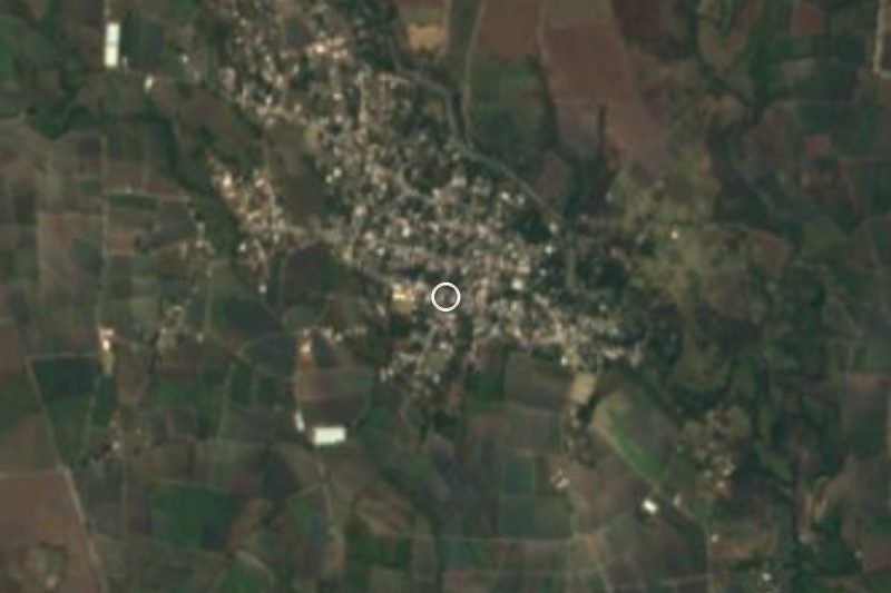
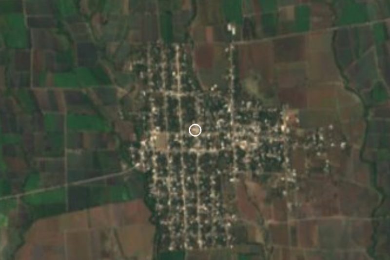
Axochiapan sits in the far southeast corner of Morelos, against the Puebla line, at about 1,030 m. The Nahuatl name, axochitl plus apan, reads as a lagoon of water lilies: the pond that gave the town its name fills with white blooms around August and looks like a carpet. Aztec records list it earlier as Ayoxochiapan, flowers of the squash on the water, and it appears in the tribute roll. According to the municipal history, Fray Juan de Alameda founded the town in 1542 as San Pablo de Axochiapan, and the municipality was created on 9 November 1898.
It is now the seat of a municipality of roughly 39,000 people (2020 census), with about 19,000 in the town itself. Trade, farming and gypsum run the place: the fields grow maize, sorghum, peanuts, roselle, onions and sugar cane, and local firms process minerals into gypsum. On 19 September 2017 the earthquake's epicentre fell a few kilometres southeast of town, and hundreds of homes in the municipality were damaged.
What a visitor notices first is religion and festivals. The churches of San Pablo and Padre Jesús date from the 16th and 18th centuries, according to the municipality's official data. The fair runs from 8 to 26 January with night processions of big candles decorated with wax flowers, led by tecuán dance troupes, dancers who play a jaguar, along with aztecas, vaqueritos and chinelos; the 24th and 25th are the biggest days. Villages around town make strap-leather huaraches, feathered dance costumes and, in Telixtac, clay pots, jars and comals. The local table offers xocomoles with fish, green pipián with ash tamales, huaxmole with pork and pit goat barbecue with tepache.
How to get to Axochiapan
Drive from Cuautla: 50 min, 53 km
Axochiapan is about 157 km from Mexico City and about 108 km from Cuernavaca, in the far southeast of Morelos. From the capital the usual way is to reach Cuautla first (the Mexico-Cuautla toll road or the free road) and continue south on the Cuautla-Axochiapan highway, which passes through Jonacatepec; allow roughly 2.5 to 3 hours from Mexico City, depending on traffic. Cuautla is about 41 km away in a straight line and roughly an hour by car.
By bus, Rome2Rio lists hourly departures from Cuautla to Axochiapan, about 1 h 35 min. The municipal profile names four lines with terminals in Axochiapan: Volcanes y Sur (to Cuautla, Izúcar de Matamoros, Chiautla de Tapia and Mexico City), Estrella Roja de Cuautla (to Cuautla, Cuernavaca and Mexico City), Mártires del Sur (Cuautla only) and Blancos del Sur (to towns in southern Puebla). From Mexico City, Volcanes leaves from TAPO and the trip takes about 4 hours. Lines and schedules may have changed, so confirm them at the Cuautla terminal. Tlaltizapán, the nearest pueblo on our list, is about 50 km west, approx.; shorter hops go by taxi or combi.
Directions to Axochiapan on Google Maps
Distances are in a straight line; the road is usually longer.
Links open a partner site. We may earn a commission if you book, at no cost to you.
From the nearest cities to Axochiapan
- Cuautla · 53 km by road, 50 min
- Atlixco · 78 km by road, 1 h 10 min
- Cuernavaca · 103 km by road, 1 h 30 min
Drive times by road from OpenStreetMap, without traffic or stops. Times marked ~ are estimated from the straight-line distance.
Before you go to Axochiapan: hours, prices and tips
- Best season
- The town fair runs from 8 to 26 January, with night processions and tecuán dancers; the 24th and 25th are the biggest days. Wikipedia (es) · checked Oct 2026
Hours and prices change, especially around holidays. Each fact links to where we checked it.
Visiting Axochiapan: what to see and do
Visit the 16th-century church of San Pablo in the centre.
Step into the 18th-century Padre Jesús church.
Look at the lagoon that names the town, especially in August when the water lilies bloom.
Catch the fair on 8 to 26 January, with processions and the tecuán dance.
Drive to Marcelino Rodríguez for the ex-hacienda of San Ignacio and its orchid nursery.
Buy fired clay in Telixtac or strap huaraches in the area.
Plan your trip
Places to stay in Axochiapan
Compare hotels, posadas, and rentals in and around Axochiapan.
Tours & activities
Day trips and guided outings from Tlaltizapán often include Axochiapan; with a local guide you can get there without a car.
Rental cars
Pick up a car at MEX (Mexico City): about 1 h 55 min by road to Tlaltizapán, then 46 km more to Axochiapan, on your own schedule.
Flights
The nearest airport with scheduled flights is Mexico City (MEX), about 1 h 55 min by road from Tlaltizapán, the base for Axochiapan.
Mobile data
Signal can drop away from Tlaltizapán: download a map of the way to Axochiapan before you set out, or carry an eSIM with data.
Links open a partner site. We may earn a commission if you book, at no cost to you.
When to go to Axochiapan warm
Axochiapan shares the climate of Tlaltizapán, 46 km away. The best months to visit are January, October, November, and December.
See the month-by-month climate of Tlaltizapán
Weather in Axochiapan now and the next 7 days
Live forecast from Open-Meteo. Chance of rain is the day's highest.
The closest Pueblo Mágico: Tlaltizapán

Tlaltizapán is the Pueblo Mágico closest to Axochiapan, with places to stay, food, and more to see.
Also close to
- Tlayacapan · Morelos · 56 km away
- Atlixco · Puebla · 57 km away
- Tepoztlán · Morelos · 65 km away
- Xochitepec · Morelos · 67 km away
- Cholula · Puebla · 77 km away
Closest to Axochiapan
-
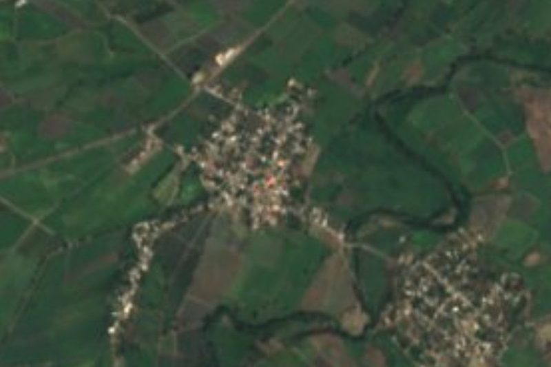
Cuauhtémoc · Village · 1 km away
-
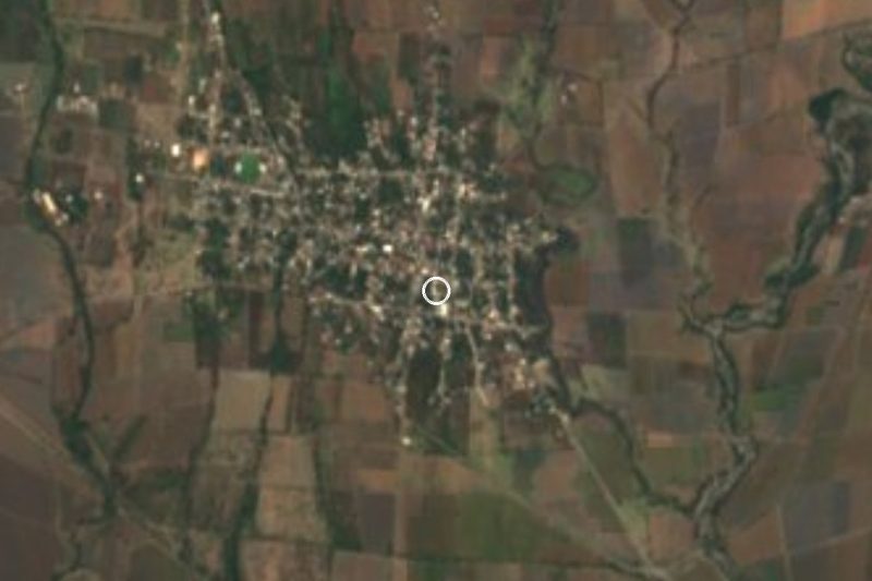
Teotlalco · Village · 4 km away
-
Atlacahualoya · Village · 5 km away
-
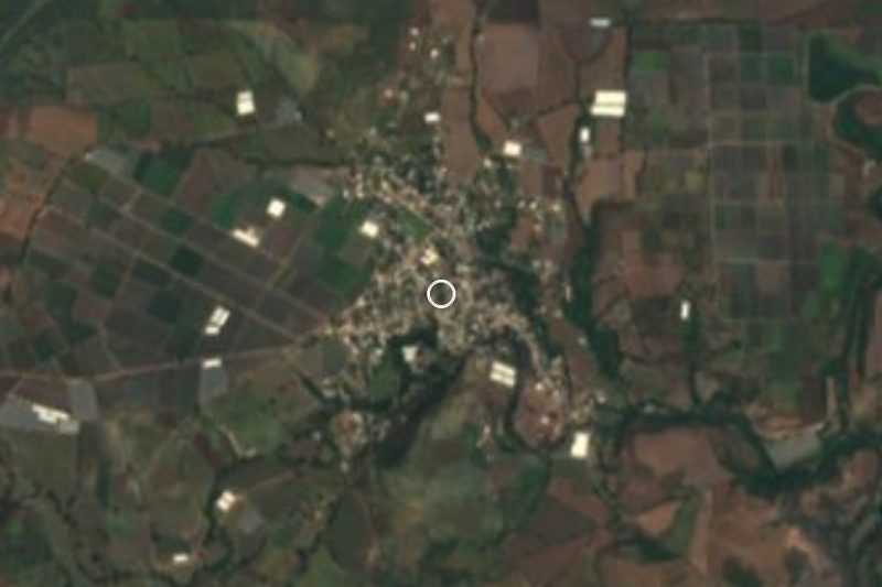
Quebrantadero · Village · 5 km away
-
Telixtac · Village · 7 km away
-
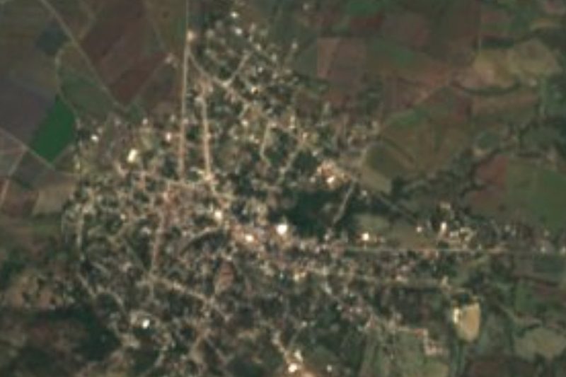
La Nopalera · Village · 8 km away
-
Marcelino Rodríguez · Village · 8 km away
-
Ixtlilco el Grande · Village · 9 km away
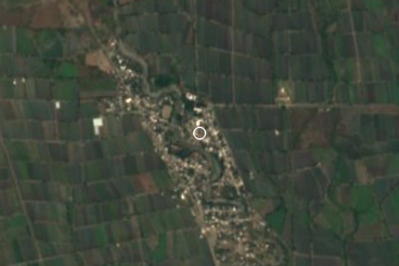
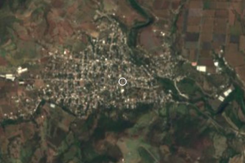
Near Axochiapan

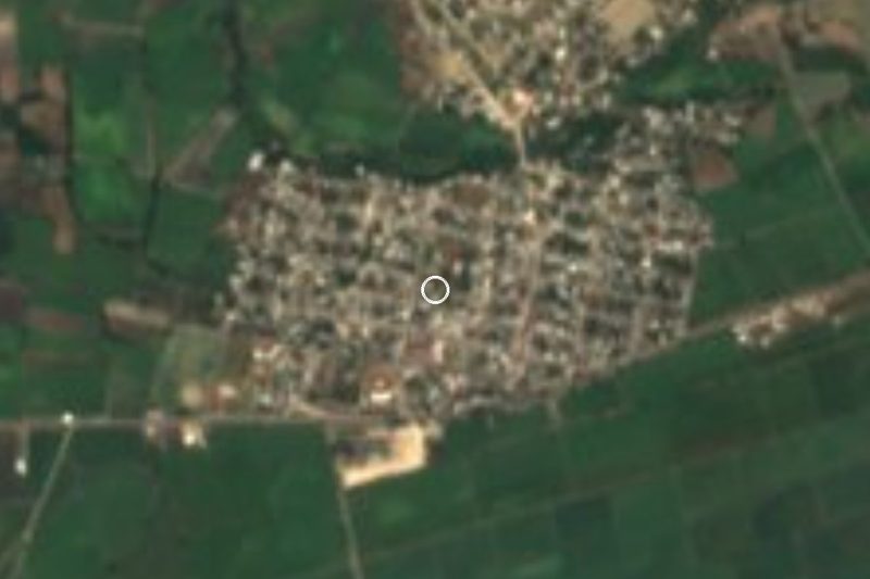



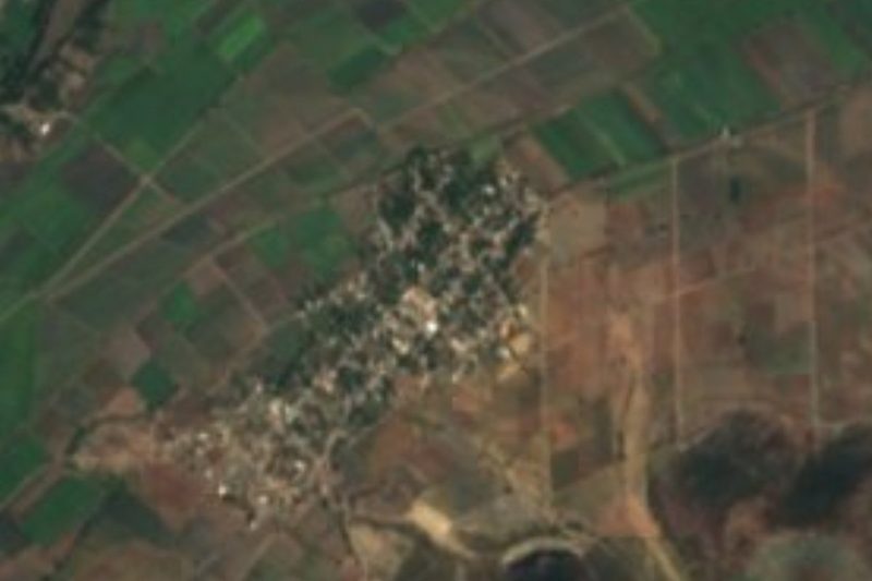
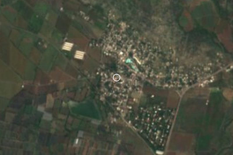

Drive times by road from OpenStreetMap, without traffic. Times marked ~ are estimated from the straight-line distance.
Location from OpenStreetMap. Written by Puebloteca.