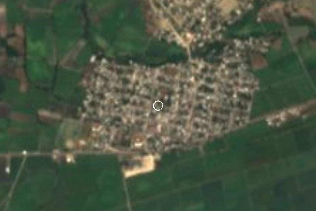
Village Chietla, Puebla Municipality of Chietla Mixteca Poblana
Chietla sub-municipality in the hot Matamoros valley at 1,021 m, living from farming and mining; its big fiesta is on 12 December.
From Atlixco: 1 h 5 min by car (63 km by road) How to get there ↓
Near here
See everything nearby ↓


Plan your visit to Escape de Lagunillas
Where to stay near Escape de Lagunillas
Compare hotels, posadas and guest houses in Escape de Lagunillas.
Tours to Escape de Lagunillas
Day trips and guided outings from Atlixco often include Escape de Lagunillas; with a local guide you can get there without a car.
How to get to Escape de Lagunillas
- From Atlixco: about 1 h 5 min by road (~63 km)
- Nearest airport: Puebla (PBC), 41 min by car to Atlixco
Links open a partner site. We may earn a commission if you book, at no cost to you.
About Escape de Lagunillas
West of Chietla, close to the Morelos state line, Escape de Lagunillas is the third-largest community in the municipality: it had 4,613 residents in 2020, behind only Atencingo and the municipal seat. It is a junta auxiliar, meaning residents elect an auxiliary president and four councillors for three-year terms.
The village lies at about 1,021 m in the Matamoros valley, a broad, hot plain where the summer rains pause for a few weeks during the so-called mid-summer drought. Almost the whole municipality drains into the Nexapa river, a tributary of the Atoyac. Sugar cane rules much of Chietla, but the federal encyclopedia of municipalities describes Escape de Lagunillas as living from farming and mining.
The population jumped in the mid-20th century, from 421 in 1940 to 1,781 in 1960 and 4,350 in 1980. Since then it has hovered between four thousand and 4,600, with a dip in 2010, when the census counted 4,072.
The biggest day of the year is 12 December, the feast of the Virgin of Guadalupe. In the municipal seat, about 10 km away, Saint Augustine (28 August) and Saint Francis (4 October) are celebrated with Tecuanis, Vaqueros and Santiagos dances; the seat also has the 16th-century church of San Francisco and thermal-water swimming pools open all year.
How to get to Escape de Lagunillas
Drive from Atlixco: 1 h 5 min, 63 km
The access road is state highway 31 (Izúcar–Amayuca), which crosses the valley from east to west. From Izúcar de Matamoros take highway 31 toward Chietla and carry on west: about 27 km and 30 minutes. From Chietla it is about 11 km on the same road (the federal encyclopedia of municipalities gives 10 km and 15 minutes). From the Pueblo Mágico of Atlixco, drive down federal highway 190 to Izúcar and pick up highway 31 there: about 63 km, just over an hour. From Puebla city, via the Vía Atlixcáyotl and highway 190, it is about 94 km and 1 h 30 min. From Cuautla, Morelos, take federal highway 160 toward Izúcar, then go through Axochiapan to highway 31: about 63 km and 1 hour.
Directions to Escape de Lagunillas on Google Maps
Distances are in a straight line; the road is usually longer.
Links open a partner site. We may earn a commission if you book, at no cost to you.
From the nearest cities to Escape de Lagunillas
- Atlixco · 63 km by road, 1 h 5 min
- Cuautla · 65 km by road, 1 h 5 min
- Puebla · 95 km by road, 1 h 30 min
Drive times by road from OpenStreetMap, without traffic or stops. Times marked ~ are estimated from the straight-line distance.
Visiting Escape de Lagunillas: what to see and do
The Virgin of Guadalupe fiesta on 12 December.
The farmland and cane fields of the Matamoros valley.
The 16th-century church of San Francisco in Chietla.
The thermal-water pools in the municipal seat, open all year.
Tecuanis and Vaqueros dances at the Chietla fiestas (28 August and 4 October).
Plan your trip
Places to stay in Escape de Lagunillas
Compare hotels, posadas, and rentals in and around Escape de Lagunillas.
Tours & activities
Day trips and guided outings from Atlixco often include Escape de Lagunillas; with a local guide you can get there without a car.
Rental cars
Pick up a car at PBC (Puebla): about 41 min by road to Atlixco, then 54 km more to Escape de Lagunillas, on your own schedule.
Flights
The nearest airport with scheduled flights is Puebla (PBC), about 41 min by road from Atlixco, the base for Escape de Lagunillas.
Mobile data
Signal can drop away from Atlixco: download a map of the way to Escape de Lagunillas before you set out, or carry an eSIM with data.
Links open a partner site. We may earn a commission if you book, at no cost to you.
When to go to Escape de Lagunillas mild
Escape de Lagunillas shares the climate of Atlixco, 54 km away. The best months to visit are January, February, March, and December.
See the month-by-month climate of Atlixco
Weather in Escape de Lagunillas now and the next 7 days
Live forecast from Open-Meteo. Chance of rain is the day's highest.
The closest Pueblo Mágico: Atlixco

Atlixco is the Pueblo Mágico closest to Escape de Lagunillas, with places to stay, food, and more to see.
Also close to
- Tlaltizapán · Morelos · 56 km away
- Tlayacapan · Morelos · 62 km away
- Tepoztlán · Morelos · 72 km away
- Cholula · Puebla · 74 km away
- Xochitepec · Morelos · 77 km away
Closest to Escape de Lagunillas
-
Ahuehuetzingo · Village · 3 km away
-
Buenavista de Benito Juárez · Village · 4 km away
-
Atencingo · Town · 7 km away
-
Tlancualpican · Village · 7 km away
-
Chietla · Town · 9 km away
-
Atlacahualoya · Village · 10 km away
-
Axochiapan · Village · 10 km away
-
Cuauhtémoc · Village · 10 km away

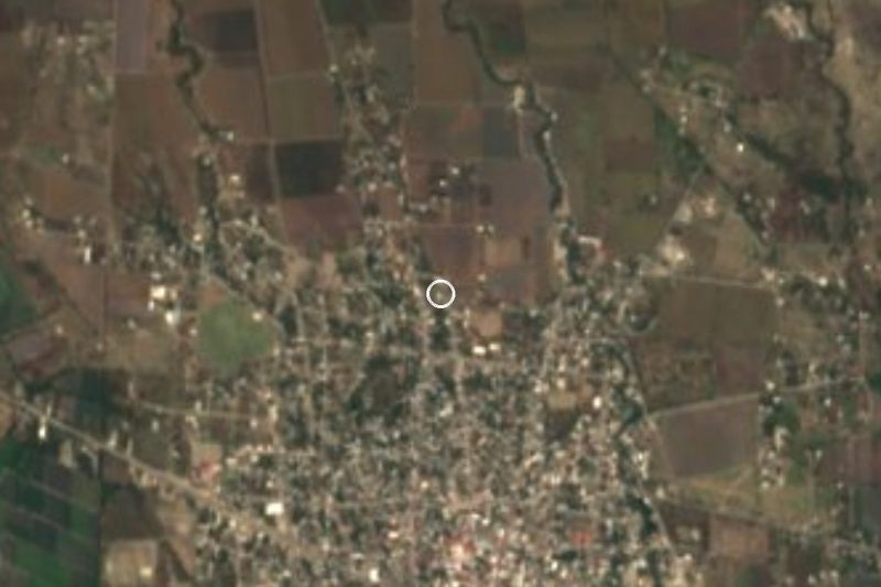
Near Escape de Lagunillas

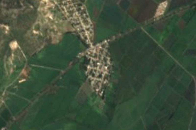
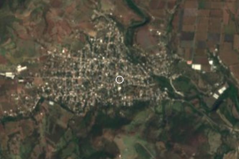
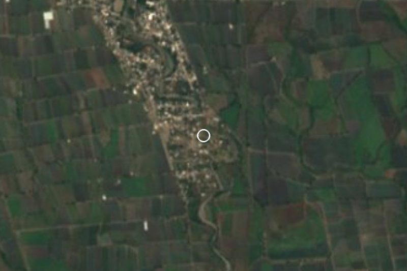
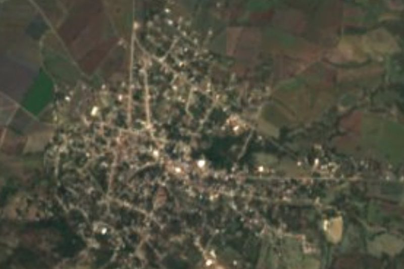

Drive times by road from OpenStreetMap, without traffic. Times marked ~ are estimated from the straight-line distance.
Location from OpenStreetMap. Written by Puebloteca.