Town Chietla, Puebla Municipality of Chietla Mixteca Poblana
Sugar-cane town in the Matamoros valley by the Nexapa River and the Morelos line; its municipality includes the sugar town of Atencingo.
From Atlixco: 55 min by car (54 km by road) How to get there ↓
Near here
See everything nearby ↓
Plan your visit to Chietla
Where to stay near Chietla
Compare hotels, posadas and guest houses in Chietla.
Tours to Chietla
Day trips around Atlixco sometimes stop in Chietla; a tour is the easy way to see it without a car.
 Tours from Atlixco
Atlixco Volcano Views Popocatépetl Tour Forest Route
From US$108
How to get to Chietla
- From Atlixco: about 55 min by road (~54 km)
- Nearest airport: Puebla (PBC), 41 min by car to Atlixco
Links open a partner site. We may earn a commission if you book, at no cost to you.
Tours from Atlixco, near Chietla
Tours, prices and ratings from Viator, checked weekly. We may earn a commission if you book.
About Chietla
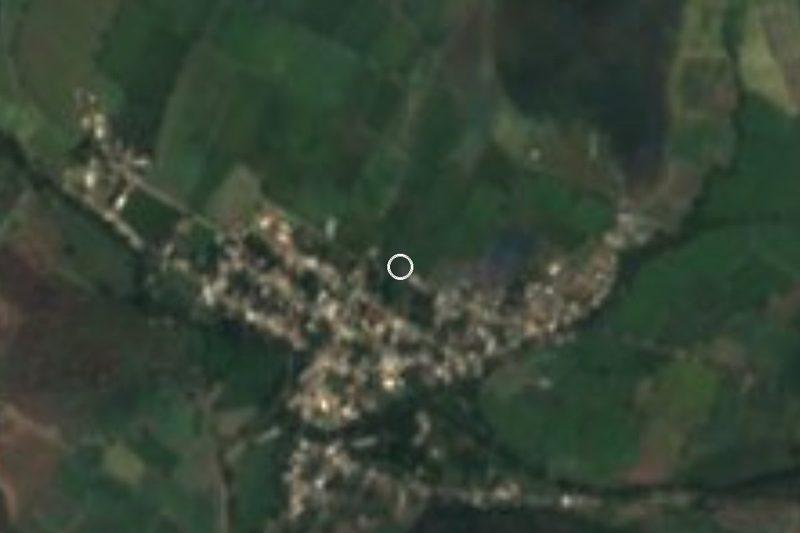
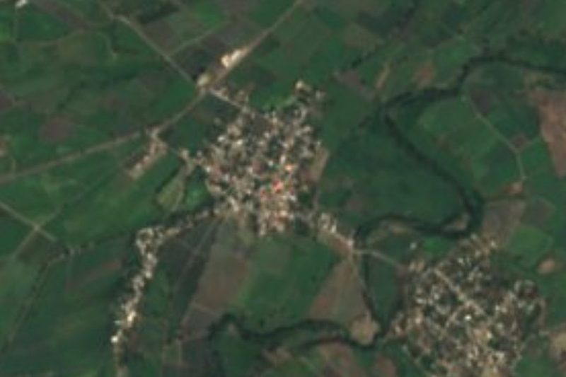
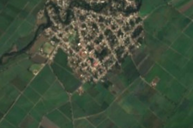
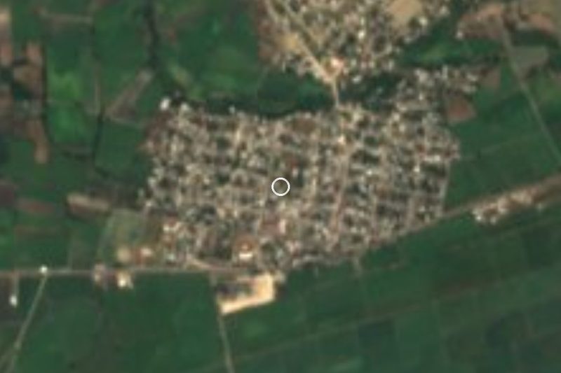
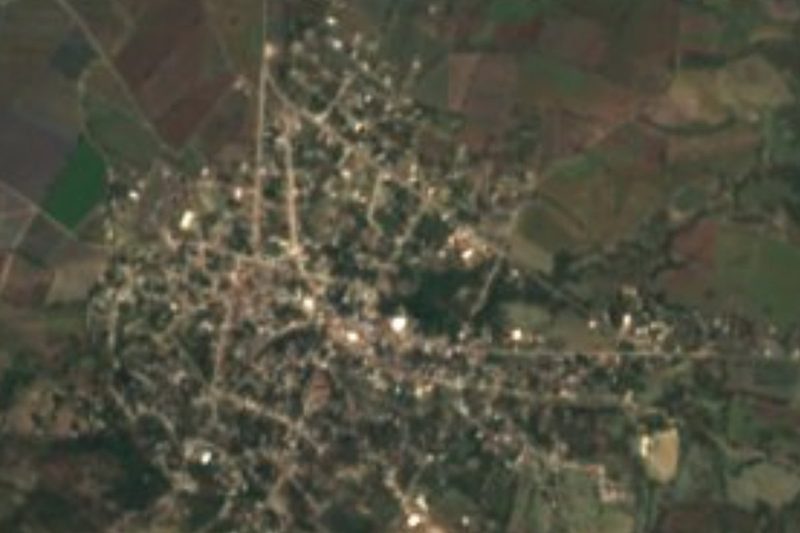
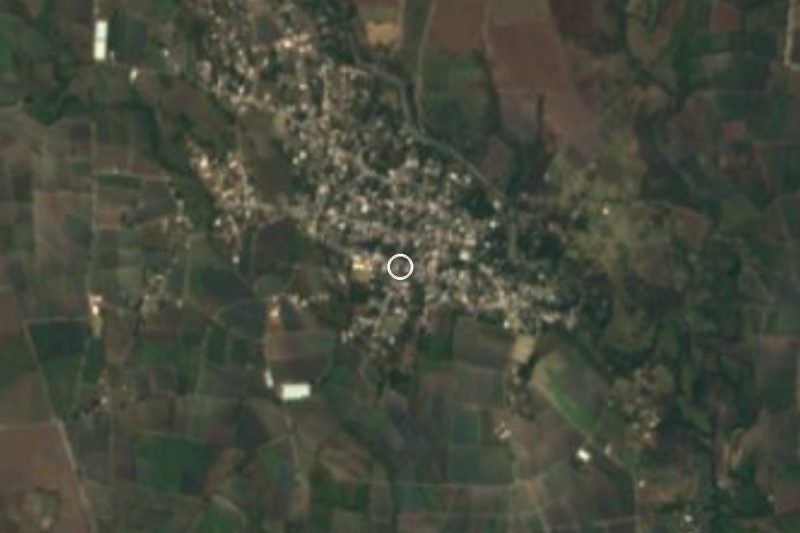
Chietla is the seat of the municipality of the same name in south-western Puebla, in the region known as Puebla's Mixteca or the Izúcar de Matamoros region. It lies in the Matamoros valley, warm and flat, at about 1,120 m. The town had 5,833 people in 2020, around a sixth of the municipality's population, which is divided into thirteen juntas auxiliares; the largest is Atencingo, 3 km away, with its sugar mill.
The main river is the Nexapa, which rises from the melting snows of Popocatépetl and is one of the major tributaries of the Atoyac; its water irrigates the valley's cane fields. To the south of the municipality a small chain of hills, part of the Trans-Mexican Volcanic Belt, separates the Matamoros valley from the Chiautla valley.
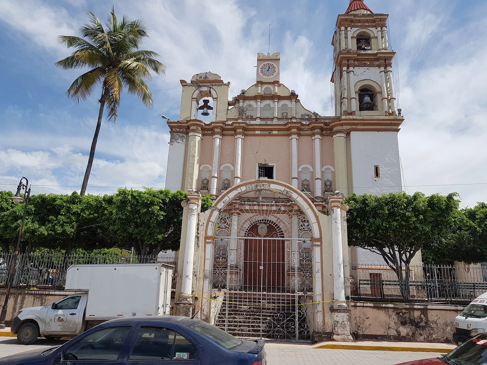
The municipality covers about 327 km², from 960 to 2,000 m, and belongs to the Atlixco and Matamoros valley region. It borders Tepexco to the north, Tilapa to the north-east, Izúcar de Matamoros and Atzala to the east, Chiautla to the south and Axochiapan, in Morelos, to the west. Many people from around the region, from places such as Lagunillas, Ahuehuetzingo, Izúcar and Atlixco, work in Chietla. Downtown, the parish church stands out with its pink-and-white façade, clock and bell tower.
How to get to Chietla
Drive from Atlixco: 55 min, 54 km
Chietla lies in south-western Puebla, next to Izúcar de Matamoros and close to the Morelos line. Puebla city is about 70 km away in a straight line, and Cuautla in Morelos about 51 km. Atencingo is 3 km away. The nearest Pueblo Mágico is Atlixco, about 46 km away in a straight line.
Directions to Chietla on Google Maps
Distances are in a straight line; the road is usually longer.
Links open a partner site. We may earn a commission if you book, at no cost to you.
From the nearest cities to Chietla
- Atlixco · 54 km by road, 55 min
- Cuautla · 68 km by road, 1 h 10 min
- Puebla · 86 km by road, 1 h 25 min
Drive times by road from OpenStreetMap, without traffic or stops. Times marked ~ are estimated from the straight-line distance.
Visiting Chietla: what to see and do
The pink-and-white parish church with its clock and bell tower.
The Nexapa River and the cane fields of the Matamoros valley.
Atencingo and its sugar mill, 3 km away.
Pair it with neighbouring Izúcar de Matamoros.
Plan your trip
Places to stay in Chietla
Compare hotels, posadas, and rentals in and around Chietla.
Tours & activities
Day trips around Atlixco sometimes stop in Chietla; a tour is the easy way to see it without a car.
Rental cars
Pick up a car at PBC (Puebla): about 41 min by road to Atlixco, then 46 km more to Chietla, on your own schedule.
Flights
The nearest airport with scheduled flights is Puebla (PBC), about 41 min by road from Atlixco, the base for Chietla.
Mobile data
Signal can drop away from Atlixco: download a map of the way to Chietla before you set out, or carry an eSIM with data.
Links open a partner site. We may earn a commission if you book, at no cost to you.
When to go to Chietla mild
Chietla shares the climate of Atlixco, 46 km away. The best months to visit are January, February, March, and December.
See the month-by-month climate of Atlixco
Weather in Chietla now and the next 7 days
Live forecast from Open-Meteo. Chance of rain is the day's highest.
The closest Pueblo Mágico: Atlixco

Atlixco is the Pueblo Mágico closest to Chietla, with places to stay, food, and more to see.
Also close to
- Tlaltizapán · Morelos · 62 km away
- Tlayacapan · Morelos · 64 km away
- Cholula · Puebla · 66 km away
- Huejotzingo · Puebla · 73 km away
- Tepoztlán · Morelos · 75 km away
Closest to Chietla
-
Atencingo · Town · 3 km away
-
Atzala · Village · 4 km away
-
Ahuehuetzingo · Village · 7 km away
-
San Felipe Ayutla · Village · 8 km away
-
Buenavista de Benito Juárez · Village · 9 km away
-
Escape de Lagunillas · Village · 9 km away
-
Casa Blanca (Cuyotliapa) · Village · 10 km away
-
San Sebastián Puctla · Village · 12 km away
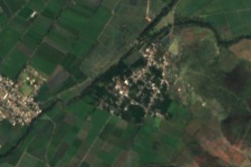
Near Chietla


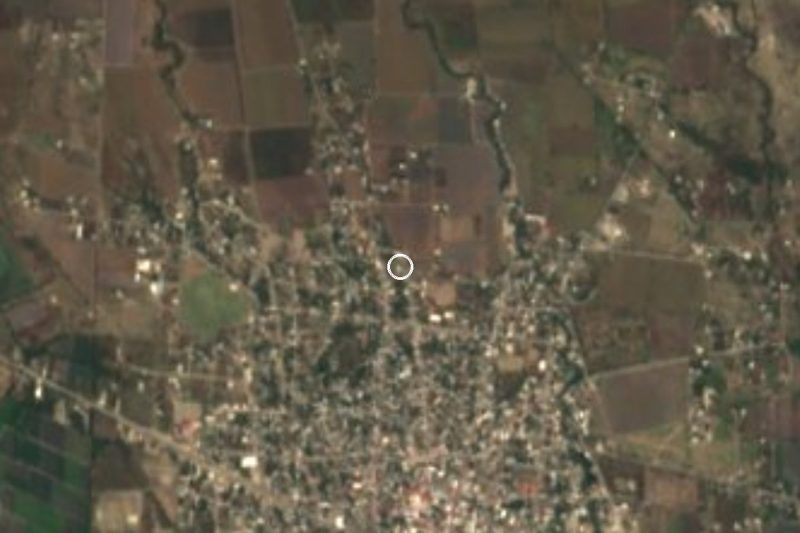



Drive times by road from OpenStreetMap, without traffic. Times marked ~ are estimated from the straight-line distance.
Location from OpenStreetMap. Written by Puebloteca.