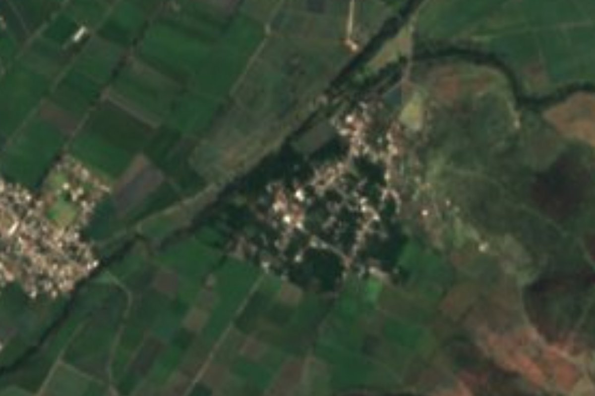
Village Izúcar de Matamoros, Puebla Municipality of Izúcar de Matamoros Mixteca Poblana
A sugarcane village of Izúcar de Matamoros, an early rice grower in the 1900s and known for keeping the remains of the outlaw Güilo Sosa.
From Atlixco: 45 min by car (42 km by road) How to get there ↓
Near here
See everything nearby ↓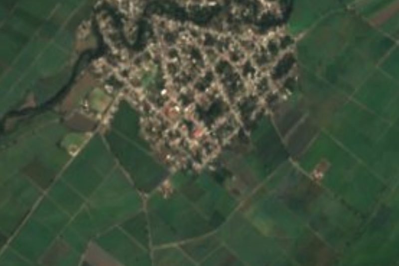

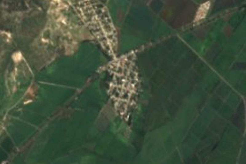

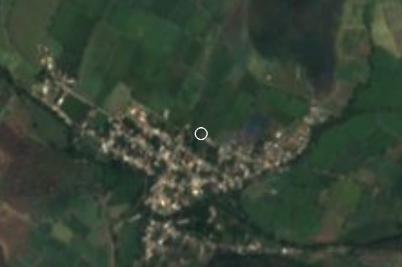

Plan your visit to San Sebastián Puctla
Where to stay near San Sebastián Puctla
Compare hotels, posadas and guest houses in San Sebastián Puctla.
Tours to San Sebastián Puctla
Day trips and guided outings from Atlixco often include San Sebastián Puctla; with a local guide you can get there without a car.
 Tours from Atlixco
Atlixco Volcano Views Popocatépetl Tour Forest Route
From US$108
How to get to San Sebastián Puctla
- From Atlixco: about 45 min by road (~42 km)
- Nearest airport: Puebla (PBC), 41 min by car to Atlixco
Links open a partner site. We may earn a commission if you book, at no cost to you.
Tours from Atlixco, near San Sebastián Puctla
Tours, prices and ratings from Viator, checked weekly. We may earn a commission if you book.
About San Sebastián Puctla
San Sebastián Puctla's fame comes from a bandit: the body of Crispín Sosa, el Güilo Sosa, an outlaw renowned across the Mixteca of Puebla and the Matamoros valley, rests here, and because it was his birthplace the state government once deemed the community dangerous in the 1970s, when a popular couplet about him made the rounds. The village belongs to Izúcar de Matamoros in southwestern Puebla and had 1,065 inhabitants in 2020, at 1,223 metres. Atlixco is 39 km away in a straight line, Cuautla in Morelos 57 and the state capital about 61 km.
The name Puctla is interpreted as "origin of smoke" and is linked to ancient settlements of the Olmec-Xicalanca, among the region's first peoples. The patron is Saint Sebastian, a martyr invoked against plague and one of the saints most often depicted in art, whose feast falls on 20 January, traditionally joined with that of Saint Fabian. In the early 20th century Puctla was among the first places in the area to grow rice; today people live mainly from sugarcane, maize and livestock.
Izúcar de Matamoros is the state's sixth-largest municipality, at about 539 km², and mostly occupies the Matamoros valley, a plain of about 1,300 metres that descends from the foot of the Sierra Nevada and is crossed by the Nexapa river; to the south the land turns mountainous with the spurs of the Sierra Mixteca. The climate is warm and subhumid, averaging 18 to 26 °C with 700 to 900 mm of rain, and more than half the territory keeps its tropical dry forest. Aqueducts and canals water the canefields that hold up the economy. The seat is known for polychrome clay trees of life and for its farmers' brass bands; on the table there is enjocado, chicken with jocoque and guajillo, plus tlaxcales, green pipián, pozole, alegrías and pumpkin-seed jamoncillo.
How to get to San Sebastián Puctla
Drive from Atlixco: 45 min, 42 km
San Sebastián Puctla lies in the municipality of Izúcar de Matamoros, about 61 km in a straight line southwest of Puebla city and 39 km from Atlixco. Drive from Puebla to Atlixco on federal highway 190 and keep on it toward Izúcar de Matamoros, where local valley roads lead to the village.
Directions to San Sebastián Puctla on Google Maps
Distances are in a straight line; the road is usually longer.
Links open a partner site. We may earn a commission if you book, at no cost to you.
From the nearest cities to San Sebastián Puctla
- Atlixco · 42 km by road, 45 min
- Cuautla · 70 km by road, 1 h 5 min
- Puebla · 74 km by road, 1 h 10 min
Drive times by road from OpenStreetMap, without traffic or stops. Times marked ~ are estimated from the straight-line distance.
Visiting San Sebastián Puctla: what to see and do
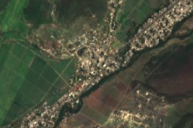
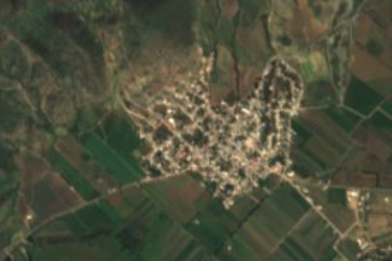
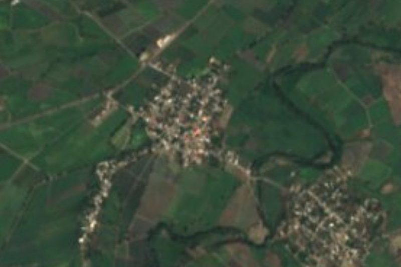
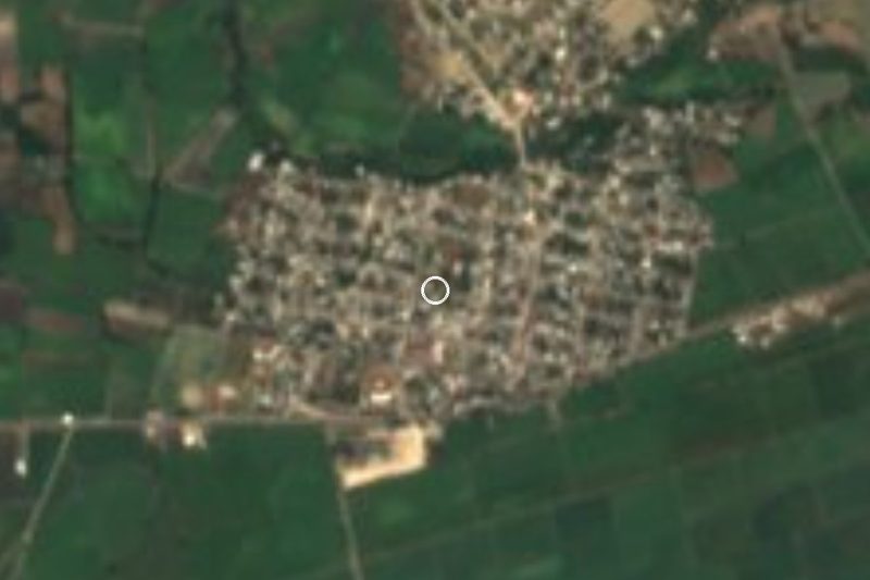
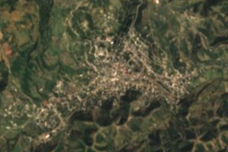
San Sebastián Puctla, surrounded by the canefields of the Matamoros valley.
The Saint Sebastian fiesta on 20 January.
Izúcar de Matamoros, with its clay trees of life and colonial churches.
Plan your trip
Places to stay in San Sebastián Puctla
Compare hotels, posadas, and rentals in and around San Sebastián Puctla.
Tours & activities
Day trips and guided outings from Atlixco often include San Sebastián Puctla; with a local guide you can get there without a car.
Rental cars
Pick up a car at PBC (Puebla): about 41 min by road to Atlixco, then 39 km more to San Sebastián Puctla, on your own schedule.
Flights
The nearest airport with scheduled flights is Puebla (PBC), about 41 min by road from Atlixco, the base for San Sebastián Puctla.
Mobile data
Signal can drop away from Atlixco: download a map of the way to San Sebastián Puctla before you set out, or carry an eSIM with data.
Links open a partner site. We may earn a commission if you book, at no cost to you.
When to go to San Sebastián Puctla mild
San Sebastián Puctla shares the climate of Atlixco, 39 km away. The best months to visit are January, February, March, and December.
See the month-by-month climate of Atlixco
Weather in San Sebastián Puctla now and the next 7 days
Live forecast from Open-Meteo. Chance of rain is the day's highest.
The closest Pueblo Mágico: Atlixco

Atlixco is the Pueblo Mágico closest to San Sebastián Puctla, with places to stay, food, and more to see.
Also close to
- Cholula · Puebla · 58 km away
- Huejotzingo · Puebla · 67 km away
- Tlayacapan · Morelos · 69 km away
- Tlaltizapán · Morelos · 72 km away
Closest to San Sebastián Puctla
-
San Felipe Ayutla · Village · 4 km away
-
San Juan Raboso · Village · 4 km away
-
Casa Blanca (Cuyotliapa) · Village · 5 km away
-
Izúcar de Matamoros · City · 5 km away
-
Atzala · Village · 8 km away
-
Chietla · Town · 12 km away
-
La Galarza · Village · 12 km away
-
Tepapayeca · Village · 14 km away

Near San Sebastián Puctla



Drive times by road from OpenStreetMap, without traffic. Times marked ~ are estimated from the straight-line distance.
Location from OpenStreetMap. Written by Puebloteca.