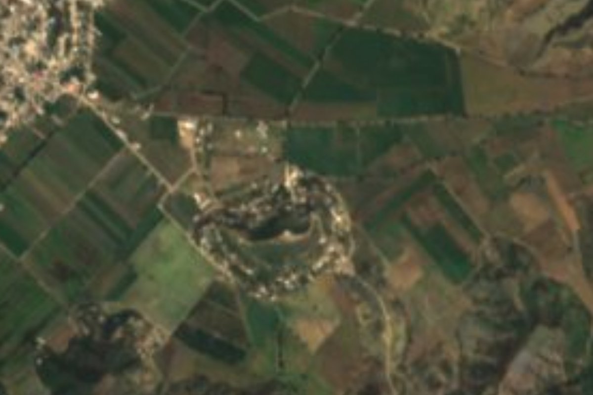
Village Xochiltepec, Puebla Mixteca Poblana
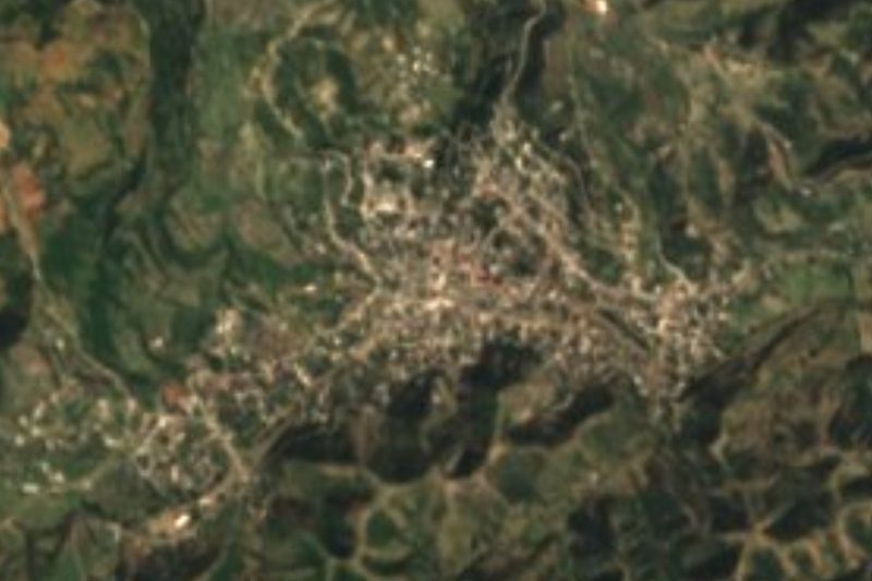
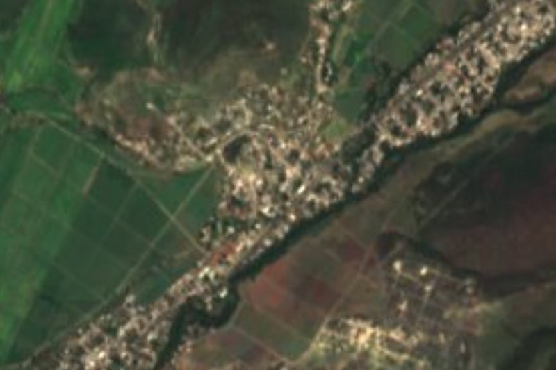
Hamlet of Xochiltepec, "the flowering hill", in the hot country of the Matamoros valley, among dry forest and irrigated fields.
From Atlixco: 55 min by car (42 km by road) How to get there ↓
Near here
See everything nearby ↓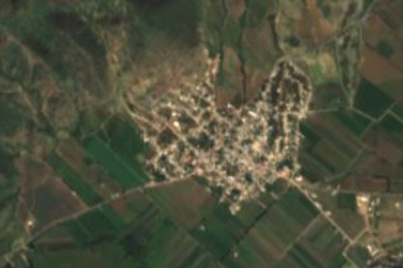

Plan your visit to Altavista
Where to stay near Altavista
Compare hotels, posadas and guest houses in Altavista.
Tours to Altavista
Day trips and guided outings from Atlixco often include Altavista; with a local guide you can get there without a car.
 Tours from Atlixco
Atlixco Volcano Views Popocatépetl Tour Forest Route
From US$108
How to get to Altavista
- From Atlixco: about 55 min by road (~42 km)
- Nearest airport: Puebla (PBC), 41 min by car to Atlixco
Links open a partner site. We may earn a commission if you book, at no cost to you.
Tours from Atlixco, near Altavista
Tours, prices and ratings from Viator, checked weekly. We may earn a commission if you book.
About Altavista
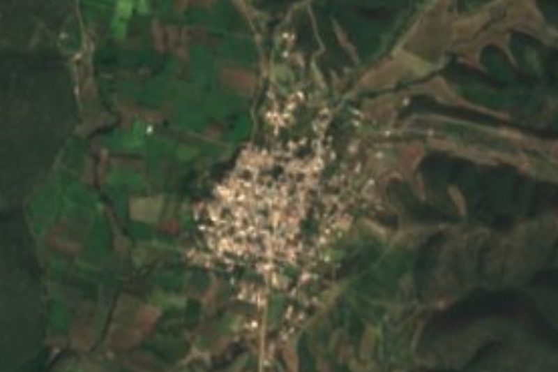
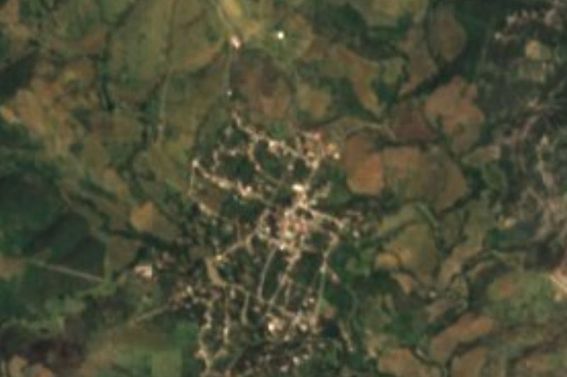
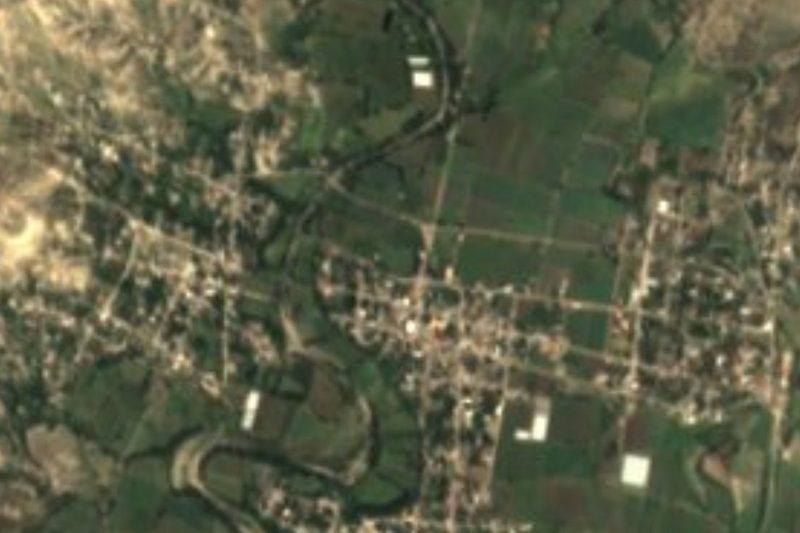
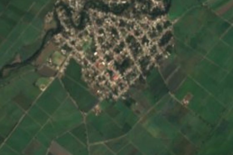
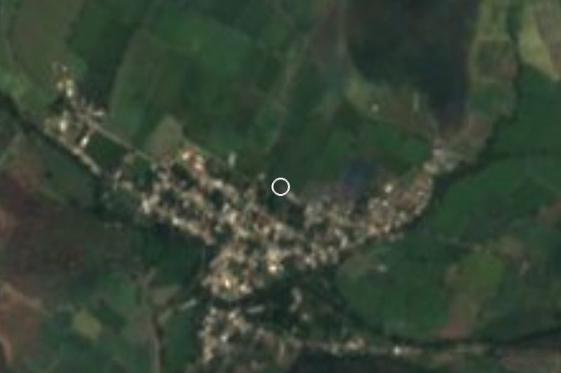
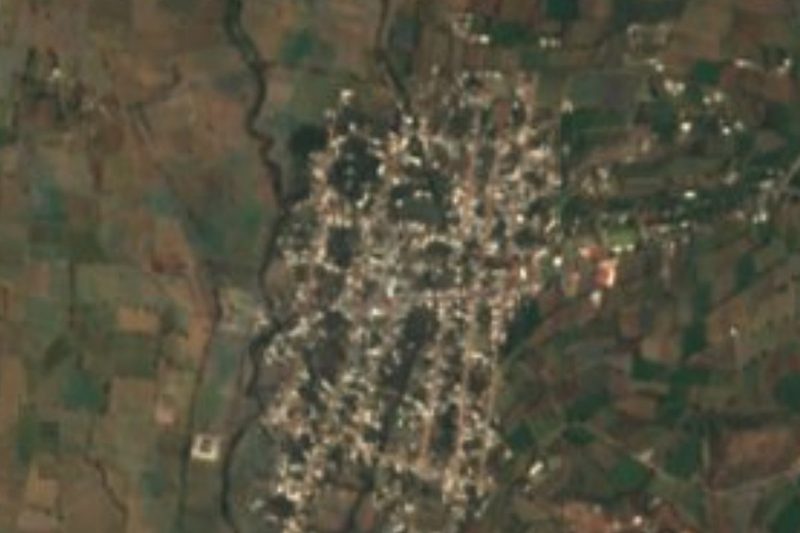
Altavista is a small place, 462 people in 2020, in the municipality of San Felipe Xochiltepec in south-western Puebla. It sits at about 1,340 m, the municipality's average height, some 31 km from Atlixco. From above it appears among patches of dry forest and fields.
Xochiltepec means "on the flowering hill", from xochitl, flower, tepetl, hill, and co, on. It is a small municipality, about 47 km² between 1,320 and 1,700 m, created in 1895, bordering San Diego La Mesa Tochimiltzingo, Teopantlán, Ahuatlán, Epatlán, San Martín Totoltepec and Tepeojuma. The climate is warm and sub-humid: the yearly average is 20 to 22 °C and highs reach 32 to 34 °C. Rain totals 800 to 1,000 mm, and dry tropical forest still covers about 60% of the land; most of the rest is farmland, with some reed marsh in wet spots. Water drains to the Nexapa and Atoyac rivers, in the Balsas basin.
In the seat, the parish church and its priest's house, built between 1506 and 1519, hold images of Saint Philip and Saint Luke; the Calvario church is dedicated to the Señor de Tepalcingo and the bandstand in the park dates from 1906. People in the municipality make clay pots, casseroles and planters and prepare corn husks for tamales. On the table: mole, pipián, adobo, huaxmole, chicken chileatole and country bread.
How to get to Altavista
Drive from Atlixco: 55 min, 42 km
Altavista lies in the municipality of Xochiltepec, about 31 km from Atlixco and some 46 km in a straight line from Puebla city. Drive the Atlixco–Izúcar de Matamoros road, then local roads east.
Directions to Altavista on Google Maps
Distances are in a straight line; the road is usually longer.
Links open a partner site. We may earn a commission if you book, at no cost to you.
From the nearest cities to Altavista
- Atlixco · 42 km by road, 55 min
- Puebla · 74 km by road, 1 h 20 min
- Cuautla · 86 km by road, 1 h 25 min
Drive times by road from OpenStreetMap, without traffic or stops. Times marked ~ are estimated from the straight-line distance.
Visiting Altavista: what to see and do
The parish church of Xochiltepec (1506–1519).
The Calvario church and the 1906 bandstand.
The dry forest of the Matamoros valley.
Plan your trip
Places to stay in Altavista
Compare hotels, posadas, and rentals in and around Altavista.
Tours & activities
Day trips and guided outings from Atlixco often include Altavista; with a local guide you can get there without a car.
Rental cars
Pick up a car at PBC (Puebla): about 41 min by road to Atlixco, then 31 km more to Altavista, on your own schedule.
Flights
The nearest airport with scheduled flights is Puebla (PBC), about 41 min by road from Atlixco, the base for Altavista.
Mobile data
Signal can drop away from Atlixco: download a map of the way to Altavista before you set out, or carry an eSIM with data.
Links open a partner site. We may earn a commission if you book, at no cost to you.
When to go to Altavista mild
Altavista shares the climate of Atlixco, 31 km away. The best months to visit are January, February, March, and December.
See the month-by-month climate of Atlixco
Weather in Altavista now and the next 7 days
Live forecast from Open-Meteo. Chance of rain is the day's highest.
The closest Pueblo Mágico: Atlixco

Atlixco is the Pueblo Mágico closest to Altavista, with places to stay, food, and more to see.
Also close to
- Cholula · Puebla · 46 km away
- Huejotzingo · Puebla · 58 km away
- Tlayacapan · Morelos · 77 km away
- Ixtenco · Tlaxcala · 79 km away
Closest to Altavista
-
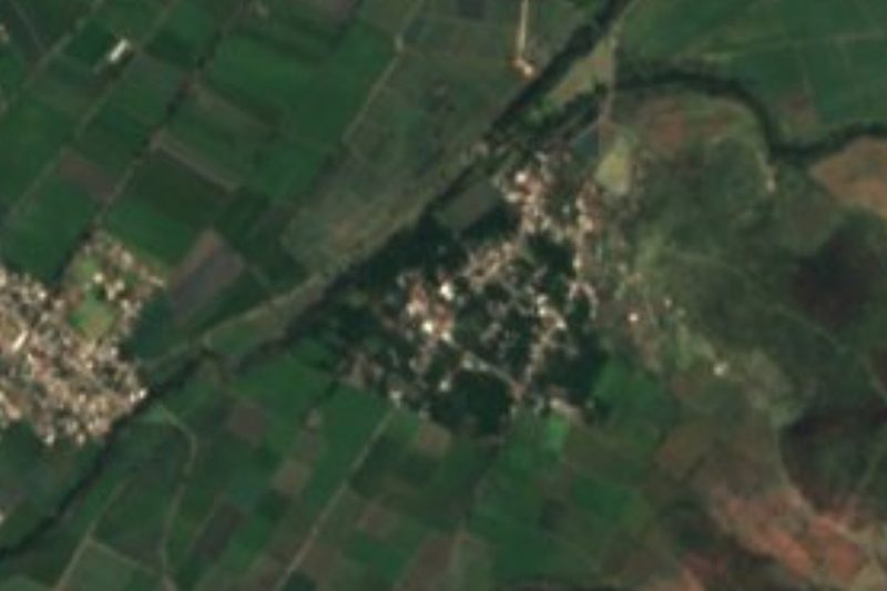
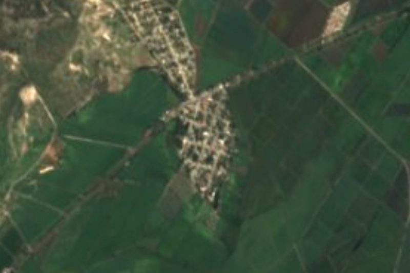
San Martín Totoltepec · Village · 2 km away
-
Ayotla · Village · 5 km away
-
Ahuatlán · Village · 11 km away
-
Teopantlán · Village · 11 km away
-
La Galarza · Village · 13 km away
-
San Juan Raboso · Village · 14 km away
-
Izúcar de Matamoros · City · 15 km away
-
Tepeojuma · Village · 15 km away


Near Altavista



Drive times by road from OpenStreetMap, without traffic. Times marked ~ are estimated from the straight-line distance.
Location from OpenStreetMap. Written by Puebloteca.