Village Xochiltepec, Puebla Mixteca Poblana
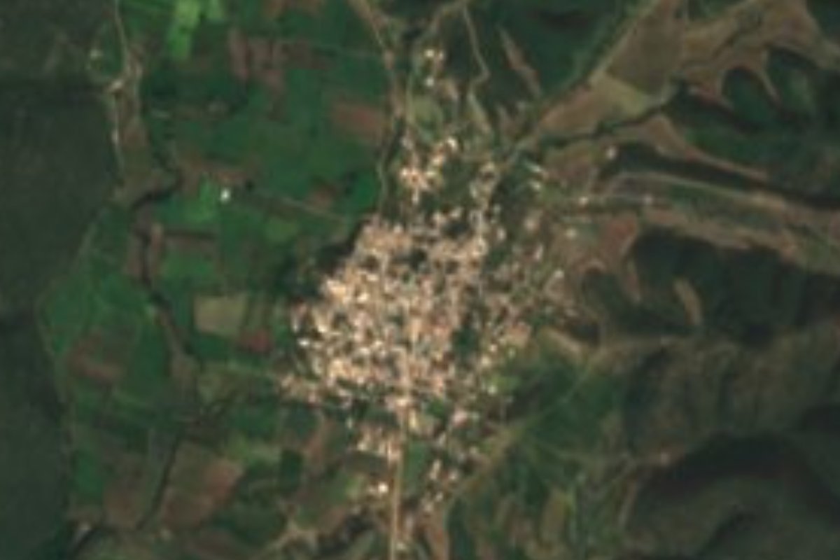
"Where squash abounds": the most populous town in Xochiltepec, almost half the municipality, between green plots and low-forest hills.
From Atlixco: 40 min by car (33 km by road) How to get there ↓
Near here
See everything nearby ↓


Plan your visit to Ayotla
Where to stay near Ayotla
Compare hotels, posadas and guest houses in Ayotla.
Tours to Ayotla
Day trips and guided outings from Atlixco often include Ayotla; with a local guide you can get there without a car.
 Tours from Atlixco
Atlixco Volcano Views Popocatépetl Tour Forest Route
From US$108
How to get to Ayotla
- From Atlixco: about 40 min by road (~33 km)
- Nearest airport: Puebla (PBC), 41 min by car to Atlixco
Links open a partner site. We may earn a commission if you book, at no cost to you.
Tours from Atlixco, near Ayotla
Tours, prices and ratings from Viator, checked weekly. We may earn a commission if you book.
About Ayotla
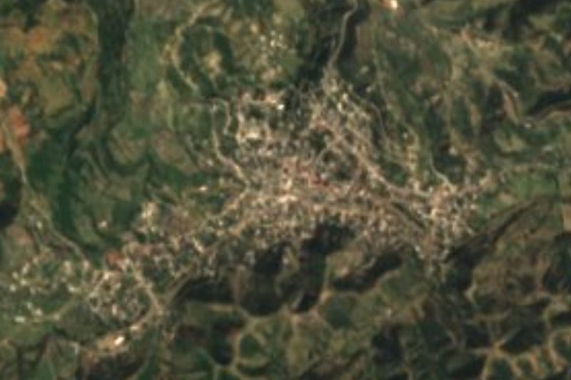
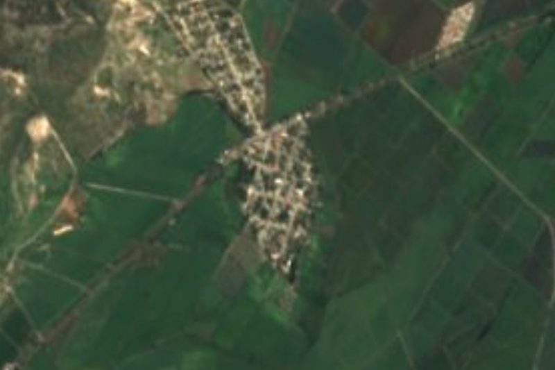
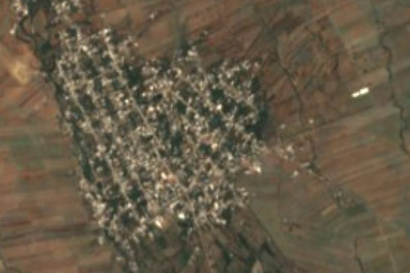
Almost one in two residents of Xochiltepec municipality lives in Ayotla: 1,509 of 3,375 in 2020, more than in the seat itself, San Felipe. The town has grown slowly, from 1,344 people in 2000, and at the latest census women (808) clearly outnumbered men (701). Its Nahuatl name, from ayotl, squash, and tlan, place of abundance, means "place where squash abounds", and squash is still among the local crops along with maize, beans, peanuts, green beans, tomatillo, tomato and sorghum. From above you see a compact cluster of houses with green irrigated plots to the west and wooded hills to the east, at 1,379 metres, some 27 km in a straight line south of Atlixco.
The municipality's history begins, by its own tradition, in 1442, when a group from Itzocán, today's Izúcar, settled on the south shore of a lagoon; over time its three neighbourhoods merged as San Felipe Xochiltepec de la Laguna. The lordship paid tribute to Tenochtitlan, and after the conquest it was granted in encomienda to Juan de Morales and served by Dominican friars from Izúcar. It has been a free municipality since 1895. Xochiltepec, "on the hill of flowers", covers under 47 km² and all its water drains to the Nexapa River and on to the Atoyac.
Heat rules: average highs reach 32 to 34 °C and most of the land has a warm climate with summer rain. Six in ten hectares are still low forest, with some cattail marsh in wet spots. The San Felipe Xochiltepec lagoon is a few minutes from the municipal seat. Potters in the municipality make clay pots, casseroles and planters, and maize husks are prepared for tamales; kitchens turn out huaxmole, adobo, chicken chileatole, mole, pipián and pan criollo. The civic dates people turn out for are 5 May and 15 and 16 September, with a school parade, a queen and princesses.
How to get to Ayotla
Drive from Atlixco: 40 min, 33 km
Ayotla lies 27 km in a straight line south of Atlixco and 45 km southwest of Puebla city. The municipal seat, San Felipe Xochiltepec, is about 82 km by road from the state capital, roughly an hour and three-quarters' drive. We found no documented public bus route to Ayotla; drive, or ask about local transport in Atlixco or Izúcar de Matamoros.
Directions to Ayotla on Google Maps
Distances are in a straight line; the road is usually longer.
Links open a partner site. We may earn a commission if you book, at no cost to you.
From the nearest cities to Ayotla
- Atlixco · 33 km by road, 40 min
- Puebla · 65 km by road, 1 h 5 min
- Cuautla · 84 km by road, 1 h 20 min
Drive times by road from OpenStreetMap, without traffic or stops. Times marked ~ are estimated from the straight-line distance.
Visiting Ayotla: what to see and do
The town and its irrigated plots, where squash is still grown.
The San Felipe Xochiltepec lagoon, minutes from the municipal seat.
In San Felipe, the 1506-1519 parish church, the Calvario church and the 1906 bandstand.
Pottery: pots, casseroles and planters.
Plan your trip
Places to stay in Ayotla
Compare hotels, posadas, and rentals in and around Ayotla.
Tours & activities
Day trips and guided outings from Atlixco often include Ayotla; with a local guide you can get there without a car.
Rental cars
Pick up a car at PBC (Puebla): about 41 min by road to Atlixco, then 27 km more to Ayotla, on your own schedule.
Flights
The nearest airport with scheduled flights is Puebla (PBC), about 41 min by road from Atlixco, the base for Ayotla.
Mobile data
Signal can drop away from Atlixco: download a map of the way to Ayotla before you set out, or carry an eSIM with data.
Links open a partner site. We may earn a commission if you book, at no cost to you.
When to go to Ayotla mild
Ayotla shares the climate of Atlixco, 27 km away. The best months to visit are January, February, March, and December.
See the month-by-month climate of Atlixco
Weather in Ayotla now and the next 7 days
Live forecast from Open-Meteo. Chance of rain is the day's highest.
The closest Pueblo Mágico: Atlixco

Atlixco is the Pueblo Mágico closest to Ayotla, with places to stay, food, and more to see.
Also close to
- Cholula · Puebla · 44 km away
- Huejotzingo · Puebla · 54 km away
- Tlayacapan · Morelos · 71 km away
- Ixtenco · Tlaxcala · 79 km away
Closest to Ayotla
-
San Martín Totoltepec · Village · 4 km away
-
Altavista · Village · 5 km away
-
La Galarza · Village · 9 km away
-
Tepeojuma · Village · 10 km away
-
Izúcar de Matamoros · City · 12 km away
-
Teopantlán · Village · 12 km away
-
San Juan Raboso · Village · 13 km away
-
Ahuatlán · Village · 16 km away

Near Ayotla




Drive times by road from OpenStreetMap, without traffic. Times marked ~ are estimated from the straight-line distance.
Location from OpenStreetMap. Written by Puebloteca.