Village Huaquechula, Puebla Volcano Route Puebla Valley
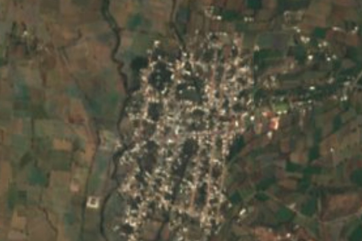
"Peanut flower" in Nahuatl: a Huaquechula village at 1,627 m in the Atlixco valley, among farm fields and rivers running down from the Sierra Nevada.
From Atlixco: 20 min by car (18 km by road) How to get there ↓
Near here
See everything nearby ↓



Plan your visit to Cacaloxúchitl
Where to stay near Cacaloxúchitl
Compare hotels, posadas and guest houses in Cacaloxúchitl.
Tours to Cacaloxúchitl
Day trips and guided outings from Atlixco often include Cacaloxúchitl; with a local guide you can get there without a car.
 Tours from Atlixco
Atlixco Volcano Views Popocatépetl Tour Forest Route
From US$108
How to get to Cacaloxúchitl
- From Atlixco: about 20 min by road (~18 km)
- Nearest airport: Puebla (PBC), 41 min by car to Atlixco
Links open a partner site. We may earn a commission if you book, at no cost to you.
Tours from Atlixco, near Cacaloxúchitl
Tours, prices and ratings from Viator, checked weekly. We may earn a commission if you book.
About Cacaloxúchitl
Its name joins two Nahuatl words, cacahuatl, peanut, and xochitl, flower: "peanut flower". With 3,617 residents in 2020, Cacaloxúchitl is a good-sized village in the municipality of Huaquechula; it lies at 1,627 m, 15 km in a straight line from Atlixco and 41 km from Puebla city, in the part of the Atlixco valley that slopes gently south from the flanks of the Sierra Nevada.
Huaquechula covers about 232 km² and ranges from 1,200 to 2,100 m in altitude. Several rivers that never run dry cross it from north to south, the Grande, Ahuehuello, Nexapa, Atila and Matadero, along with a network of canals in the north-east; to the east rises a hilly zone including Cerro el Metate. Two-thirds of the land is farmed. The climate is mostly semi-warm and sub-humid, with summer rains broken by a midsummer dry spell and the odd winter frost; where there are no fields, low forest that drops its leaves in the dry season takes over, with palm groves to the north-west, and rabbits, squirrels, skunks and deer live in the hills.
The municipality's crafts are among the most varied in the region: candle-making, tinwork, pressed-glass vases and jugs, comales, plaster figurines, black-glazed candlesticks and incense burners, and polychrome clay with angels, virgins and flowers in relief. The table keeps pace: green pipián with zompantle flowers, black adobo, ash tamales with ayocote beans, and breads such as rosquetes, marquesotes, hojaldras and polvorones, with water- or milk-based chocolate; for sweets, pancololote, palanqueta, alegría and jamoncillo. From 28 October to 2 November the municipal seat builds its famous monumental Day of the Dead altars.
How to get to Cacaloxúchitl
Drive from Atlixco: 20 min, 18 km
Atlixco is the link: Autobuses Oro runs Puebla to Atlixco with hourly departures and about an hour's ride. From Atlixco to Cacaloxúchitl it is about 16 km by road, roughly 25 minutes by car or taxi. We found no published colectivo timetable for this last stretch; in Atlixco, ask about the routes heading toward Huaquechula.
Directions to Cacaloxúchitl on Google Maps
Distances are in a straight line; the road is usually longer.
Links open a partner site. We may earn a commission if you book, at no cost to you.
From the nearest cities to Cacaloxúchitl
- Atlixco · 18 km by road, 20 min
- Puebla · 49 km by road, 45 min
- San Martín Texmelucan · 81 km by road, 1 h 5 min
Drive times by road from OpenStreetMap, without traffic or stops. Times marked ~ are estimated from the straight-line distance.
Visiting Cacaloxúchitl: what to see and do
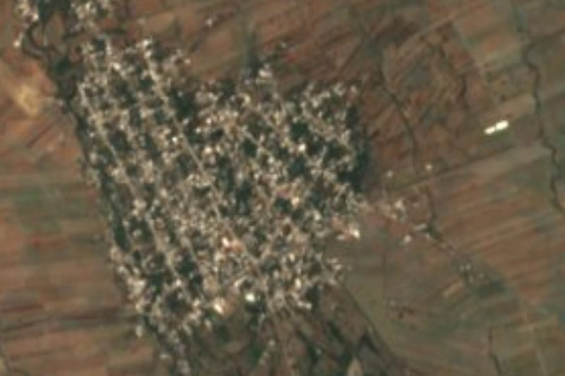
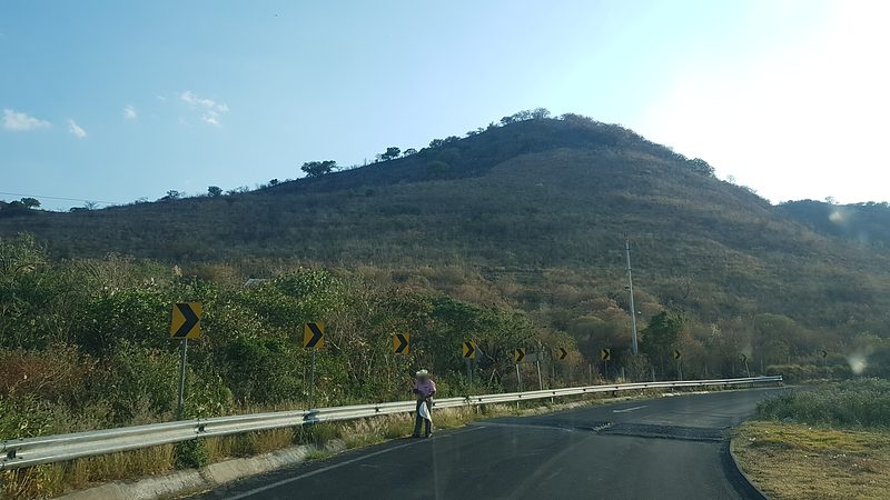
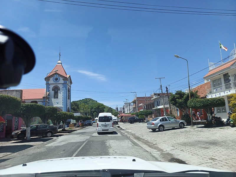
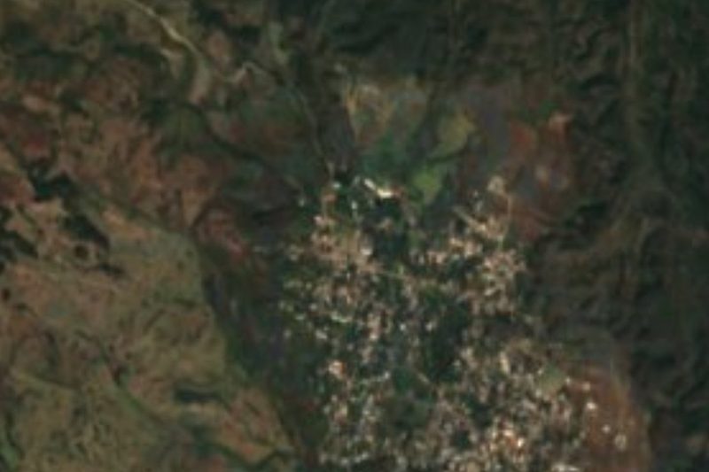
The village and its fields on the slope of the Atlixco valley.
Huaquechula's monumental Day of the Dead altars, 28 October to 2 November.
Atlixco, about 15 km away in a straight line.
Plan your trip
Places to stay in Cacaloxúchitl
Compare hotels, posadas, and rentals in and around Cacaloxúchitl.
Tours & activities
Day trips and guided outings from Atlixco often include Cacaloxúchitl; with a local guide you can get there without a car.
Rental cars
Pick up a car at PBC (Puebla): about 41 min by road to Atlixco, then 15 km more to Cacaloxúchitl, on your own schedule.
Flights
The nearest airport with scheduled flights is Puebla (PBC), about 41 min by road from Atlixco, the base for Cacaloxúchitl.
Mobile data
Signal can drop away from Atlixco: download a map of the way to Cacaloxúchitl before you set out, or carry an eSIM with data.
Links open a partner site. We may earn a commission if you book, at no cost to you.
When to go to Cacaloxúchitl mild
Cacaloxúchitl shares the climate of Atlixco, 15 km away. The best months to visit are January, February, March, and December.
See the month-by-month climate of Atlixco
Weather in Cacaloxúchitl now and the next 7 days
Live forecast from Open-Meteo. Chance of rain is the day's highest.
The closest Pueblo Mágico: Atlixco

Atlixco is the Pueblo Mágico closest to Cacaloxúchitl, with places to stay, food, and more to see.
Also close to
- Cholula · Puebla · 36 km away
- Huejotzingo · Puebla · 42 km away
- Tlayacapan · Morelos · 55 km away
- Tepoztlán · Morelos · 68 km away
- Tlaltizapán · Morelos · 70 km away
Closest to Cacaloxúchitl
-
Huaquechula · Town · 6 km away
-
Tepeojuma · Village · 8 km away
-
Atzitzihuacán · Village · 11 km away
-
San Francisco Huilango · Village · 12 km away
-
San Jerónimo Coyula · Village · 12 km away
-
Tlapanalá · Village · 12 km away
-
La Galarza · Village · 14 km away
-
Tepapayeca · Village · 14 km away

Near Cacaloxúchitl





Drive times by road from OpenStreetMap, without traffic. Times marked ~ are estimated from the straight-line distance.
Location from OpenStreetMap. Written by Puebloteca.