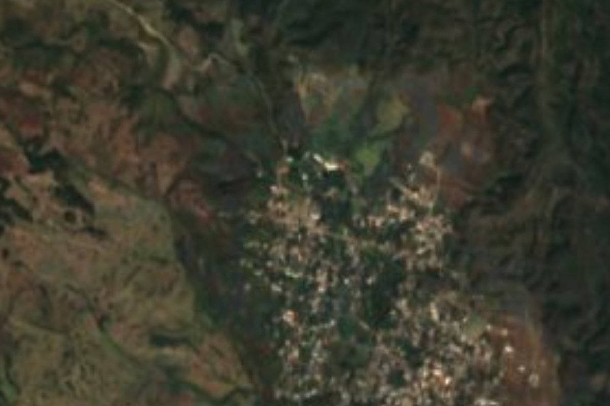
Village Tianguismanalco, Puebla Volcano Route Puebla Valley
"Where water springs": a Tianguismanalco village at the foot of Popocatépetl, 10 km from Atlixco, in a district of forest, streams and trout.
From Atlixco: 20 min by car (13 km by road) How to get there ↓
Near here
See everything nearby ↓
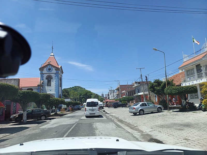
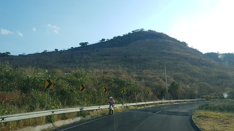


Plan your visit to San Baltazar Atlimeyaya
Where to stay near San Baltazar Atlimeyaya
Compare hotels, posadas and guest houses in San Baltazar Atlimeyaya.
Tours to San Baltazar Atlimeyaya
Day trips and guided outings from Atlixco often include San Baltazar Atlimeyaya; with a local guide you can get there without a car.
How to get to San Baltazar Atlimeyaya
- From Atlixco: about 20 min by road (~13 km)
- Nearest airport: Puebla (PBC), 41 min by car to Atlixco
Links open a partner site. We may earn a commission if you book, at no cost to you.
About San Baltazar Atlimeyaya
The name says nearly everything: Atlimeyaya combines the Nahuatl atl, water, meyalli, to spring forth, and the place suffix yan, and is usually translated as "spring" or "place where water flows out". The other half of the name honours its patron, King Balthazar, one of the three Magi. The village belongs to Tianguismanalco municipality, on the eastern slopes of the Sierra Nevada crowned by Popocatépetl and Iztaccíhuatl, and had 1,305 inhabitants in 2020 according to the INEGI census, at 2,182 metres. Atlixco, the city of flowers, is only 10 km away.
Tianguismanalco, "in the flattened market", has been a municipality since 1895 and belongs to the Atlixco and Matamoros valleys region. Nearly half its land, about 49.8%, is still forest, and most of the rest is farmland. It is crossed by the seasonal streams Apiaxco, La Leona and Xalapexco, which drain toward the Atoyac and Nexapa basins. North of the municipal seat rises the Malpaís de Nealtican, a tongue of volcanic sand and rock that forms the easternmost skirt of Popocatépetl, now covered in pine and oak and crossed by a few trails; tezontle is quarried along its edges.
The climate is humid for the region, with average temperatures between 6 and 18 °C depending on altitude and 900 to 1,100 mm of rain a year, turning semi-cold higher up. The municipality's cooking, according to INEGI, includes mole poblano, tamales, tlaxcales and trout, a dish that suits a village whose name means spring. Local crafts include clay comales and baskets woven from twigs. Anyone coming from Atlixco has the volcano straight ahead the whole way.
How to get to San Baltazar Atlimeyaya
Drive from Atlixco: 20 min, 13 km
Atlixco lies about 10 km away in a straight line and is the natural base: from there you climb west toward the volcano on local roads. Puebla city is about 30 km away; reach Atlixco on the Puebla-Atlixco highway and continue by car or local transport.
Directions to San Baltazar Atlimeyaya on Google Maps
Distances are in a straight line; the road is usually longer.
Links open a partner site. We may earn a commission if you book, at no cost to you.
From the nearest cities to San Baltazar Atlimeyaya
- Atlixco · 13 km by road, 20 min
- Puebla · 44 km by road, 40 min
- San Martín Texmelucan · 45 km by road, 50 min
Drive times by road from OpenStreetMap, without traffic or stops. Times marked ~ are estimated from the straight-line distance.
Visiting San Baltazar Atlimeyaya: what to see and do
The forest and stream landscape on the slopes of Popocatépetl, with the volcano in view; the trails through pine and oak on the Malpaís de Nealtican, in the same municipality; and the local cooking with trout, tlaxcales and mole, plus clay comales and twig baskets.
Plan your trip
Places to stay in San Baltazar Atlimeyaya
Compare hotels, posadas, and rentals in and around San Baltazar Atlimeyaya.
Tours & activities
Day trips and guided outings from Atlixco often include San Baltazar Atlimeyaya; with a local guide you can get there without a car.
Rental cars
Pick up a car at PBC (Puebla): about 41 min by road to Atlixco, then 10 km more to San Baltazar Atlimeyaya, on your own schedule.
Flights
The nearest airport with scheduled flights is Puebla (PBC), about 41 min by road from Atlixco, the base for San Baltazar Atlimeyaya.
Mobile data
Signal can drop away from Atlixco: download a map of the way to San Baltazar Atlimeyaya before you set out, or carry an eSIM with data.
Links open a partner site. We may earn a commission if you book, at no cost to you.
When to go to San Baltazar Atlimeyaya mild
San Baltazar Atlimeyaya shares the climate of Atlixco, 10 km away. The best months to visit are January, February, March, and December.
See the month-by-month climate of Atlixco
Weather in San Baltazar Atlimeyaya now and the next 7 days
Live forecast from Open-Meteo. Chance of rain is the day's highest.
The closest Pueblo Mágico: Atlixco

Atlixco is the Pueblo Mágico closest to San Baltazar Atlimeyaya, with places to stay, food, and more to see.
Also close to
- Cholula · Puebla · 20 km away
- Huejotzingo · Puebla · 21 km away
- Tlayacapan · Morelos · 53 km away
- Tepoztlán · Morelos · 65 km away
- Ixtenco · Tlaxcala · 65 km away
Closest to San Baltazar Atlimeyaya
-
Tianguismanalco · Village · 4 km away
-
Antigua Fábrica de Metepec · Landmark · 5 km away
-
Balneario Axocopan · Hot springs · 7 km away
-
San Buenaventura Nealtican · Village · 9 km away
-
San Jerónimo Tecuanipan · Village · 9 km away
-
San Nicolás de los Ranchos · Town · 9 km away
-
San Pedro Benito Juárez · Village · 9 km away
-
San Jerónimo Coyula · Village · 11 km away
Near San Baltazar Atlimeyaya



Drive times by road from OpenStreetMap, without traffic. Times marked ~ are estimated from the straight-line distance.
Location from OpenStreetMap. Written by Puebloteca.