Village Atlixco, Puebla Municipality of Atlixco Volcano Route Puebla Valley
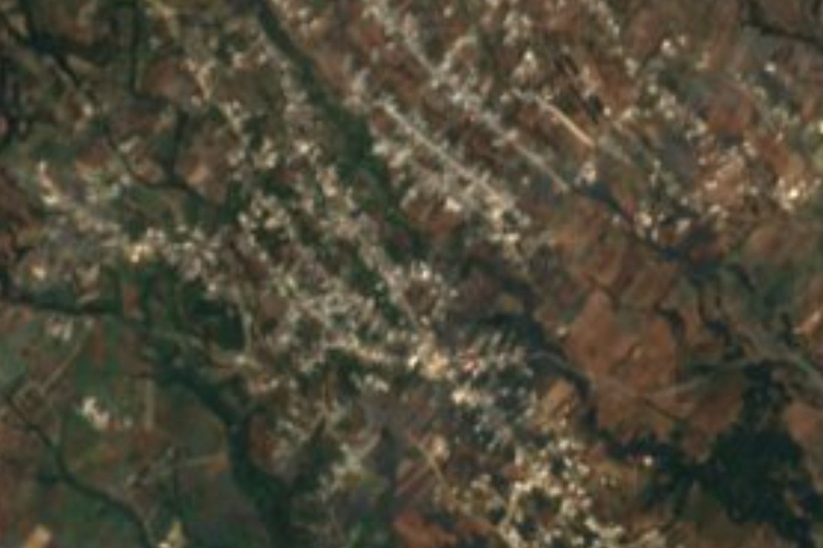
The inhabited village closest to Popocatépetl's crater, about 11 km away, on the volcano's slopes in the municipality of Atlixco.
From Atlixco: 25 min by car (15 km by road) How to get there ↓
Near here
See everything nearby ↓

Plan your visit to San Pedro Benito Juárez
Where to stay near San Pedro Benito Juárez
Compare hotels, posadas and guest houses in San Pedro Benito Juárez.
Tours to San Pedro Benito Juárez
Day trips and guided outings from Atlixco often include San Pedro Benito Juárez; with a local guide you can get there without a car.
 Tours from Atlixco
Atlixco Volcano Views Popocatépetl Tour Forest Route
From US$108
How to get to San Pedro Benito Juárez
- From Atlixco: about 25 min by road (~15 km)
- Nearest airport: Puebla (PBC), 41 min by car to Atlixco
Links open a partner site. We may earn a commission if you book, at no cost to you.
Tours from Atlixco, near San Pedro Benito Juárez
Tours, prices and ratings from Viator, checked weekly. We may earn a commission if you book.
About San Pedro Benito Juárez
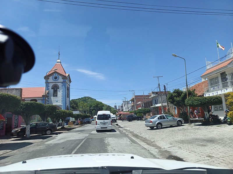
No other settlement lies so close to Popocatépetl's crater: just 11.4 km separate San Pedro Benito Juárez from the volcano's mouth, with Santiago Xalitzintla next on that list, which is why it is regarded as the community most at risk in an eruption. It spreads over the slopes of the Sierra Nevada in the west of the municipality of Atlixco, 2,319 metres up, and had 3,302 inhabitants in 2020. The seat, Atlixco, is 14 km away in a straight line and the state capital about 39 km.
The name has had its own ups and downs. For centuries it was San Pedro Coaco; in the late 1930s it was changed to a bare Benito Juárez, which people never fully took up, and around 1950 the current form joining the apostle and the president was settled on. The main fiesta falls on 29 June, Saint Peter's day, but starts a week earlier, with fairground rides and dances the weekend before. The highlight is the combat between Moors and güizos: dancers in flowered kerchiefs, shiny capes and masks line up and face each other with real machetes while a voice narrates the fight.
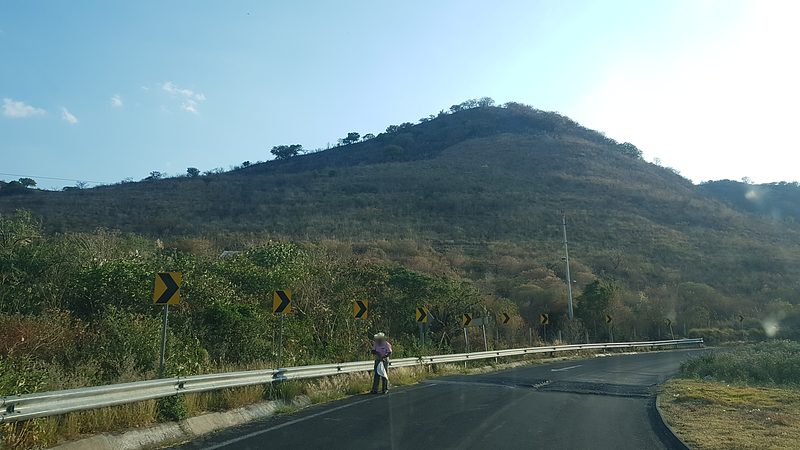
The only main route is a two-lane paved road down to Atlixco, which doubles as the evacuation route. The municipality of Atlixco covers 293 km² and descends from the mountain slopes into a warm valley known for its flowers, such as gladiolus, chrysanthemum, tuberose and marigold, and for its native and grafted avocados. Its climates range from semi-cold up high to semi-warm in the valley, with 900 to 1,300 mm of rain; about 13% of the land is still forest. Atlixco works polychrome clay and embroiders shirts, and its flavours include consomé atlixquense, cecina, cumin tamales and jeripa, a pink sweet made from rice flour.
How to get to San Pedro Benito Juárez
Drive from Atlixco: 25 min, 15 km
San Pedro Benito Juárez is about 39 km in a straight line west of Puebla city and 14 km from Atlixco. From Puebla drive down to Atlixco on four-lane federal highway 190, and in Atlixco take the two-lane paved road that climbs Popocatépetl's slopes to the village. Check the volcanic alert level before going.
Directions to San Pedro Benito Juárez on Google Maps
Distances are in a straight line; the road is usually longer.
Links open a partner site. We may earn a commission if you book, at no cost to you.
From the nearest cities to San Pedro Benito Juárez
- Atlixco · 15 km by road, 25 min
- Puebla · 49 km by road, 55 min
- San Martín Texmelucan · 54 km by road, 1 h 5 min
Drive times by road from OpenStreetMap, without traffic or stops. Times marked ~ are estimated from the straight-line distance.
Visiting San Pedro Benito Juárez: what to see and do
Views of Popocatépetl, whose crater is about 11 km from the village.
The Saint Peter fiesta on 29 June, with the dance of Moors and güizos wielding machetes.
Atlixco, 14 km away, with its flower nurseries and baroque churches.
Plan your trip
Places to stay in San Pedro Benito Juárez
Compare hotels, posadas, and rentals in and around San Pedro Benito Juárez.
Tours & activities
Day trips and guided outings from Atlixco often include San Pedro Benito Juárez; with a local guide you can get there without a car.
Rental cars
Pick up a car at PBC (Puebla): about 41 min by road to Atlixco, then 14 km more to San Pedro Benito Juárez, on your own schedule.
Flights
The nearest airport with scheduled flights is Puebla (PBC), about 41 min by road from Atlixco, the base for San Pedro Benito Juárez.
Mobile data
Signal can drop away from Atlixco: download a map of the way to San Pedro Benito Juárez before you set out, or carry an eSIM with data.
Links open a partner site. We may earn a commission if you book, at no cost to you.
When to go to San Pedro Benito Juárez mild
San Pedro Benito Juárez shares the climate of Atlixco, 14 km away. The best months to visit are January, February, March, and December.
See the month-by-month climate of Atlixco
Weather in San Pedro Benito Juárez now and the next 7 days
Live forecast from Open-Meteo. Chance of rain is the day's highest.
The closest Pueblo Mágico: Atlixco

Atlixco is the Pueblo Mágico closest to San Pedro Benito Juárez, with places to stay, food, and more to see.
Also close to
- Huejotzingo · Puebla · 28 km away
- Cholula · Puebla · 28 km away
- Tlayacapan · Morelos · 45 km away
- Tepoztlán · Morelos · 58 km away
- Tlaltizapán · Morelos · 69 km away
Closest to San Pedro Benito Juárez
-
La Magdalena Yancuitlalpan · Village · 6 km away
-
Tochimilco · Town · 6 km away
-
San Jerónimo Coyula · Village · 7 km away
-
Antigua Fábrica de Metepec · Landmark · 8 km away
-
Balneario Axocopan · Hot springs · 9 km away
-
San Baltazar Atlimeyaya · Village · 9 km away
-
Tianguismanalco · Village · 11 km away
-
San Francisco Huilango · Village · 12 km away


Near San Pedro Benito Juárez





Drive times by road from OpenStreetMap, without traffic. Times marked ~ are estimated from the straight-line distance.
Location from OpenStreetMap. Written by Puebloteca.