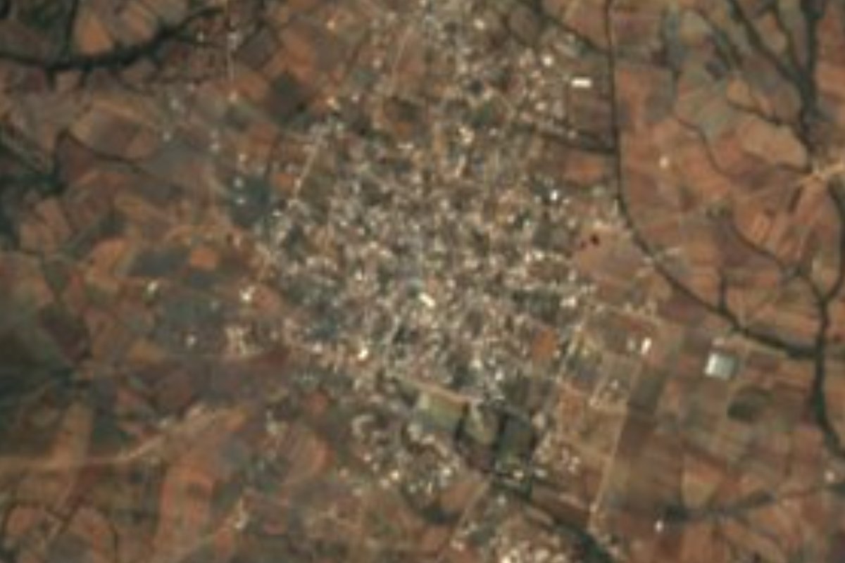
Village Atzitzihuacán, Puebla Volcano Route
Nahua village of Atzitzihuacán whose name means "on the thread of water", among Popocatépetl ravines near Atlixco and the Morelos border.
From Atlixco: 30 min by car (33 km by road) How to get there ↓
Near here
See everything nearby ↓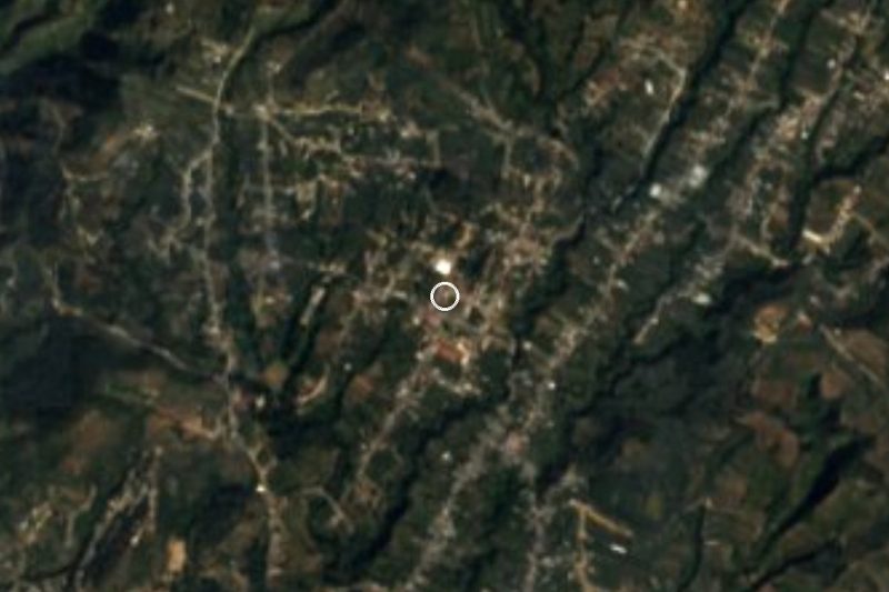

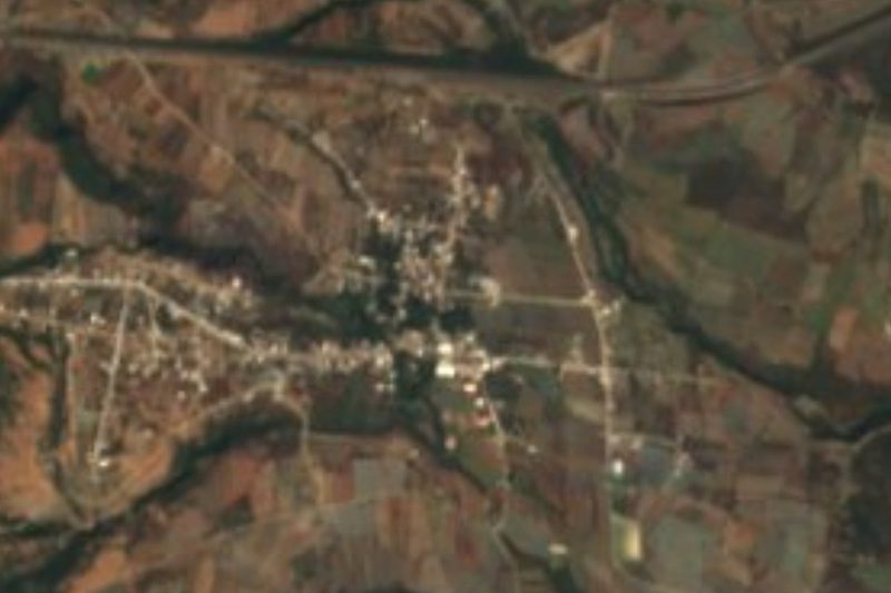


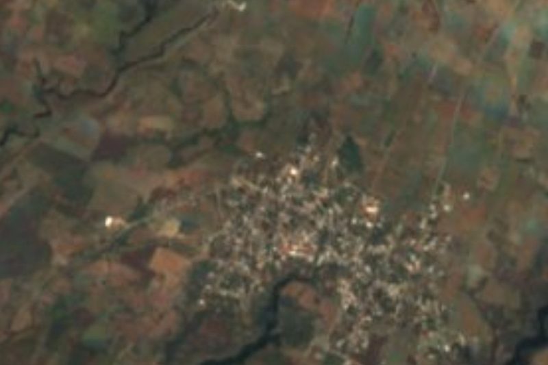
Plan your visit to San Juan Amecac
Where to stay near San Juan Amecac
Compare hotels, posadas and guest houses in San Juan Amecac.
Tours to San Juan Amecac
Day trips and guided outings from Atlixco often include San Juan Amecac; with a local guide you can get there without a car.
How to get to San Juan Amecac
- From Atlixco: about 30 min by road (~33 km)
- Nearest airport: Puebla (PBC), 41 min by car to Atlixco
Links open a partner site. We may earn a commission if you book, at no cost to you.
About San Juan Amecac
Amecac is built from three Nahuatl words: atl, water; mecatl, rope or thread; and the place suffix co. Together they mean "on the thread of water", a curious name for a village in Atzitzihuacán, whose own name translates as "place of little water". Its patron saint is John the Baptist. With 4,557 residents counted in 2020, Amecac is one of the larger communities in the municipality, sitting at 2,072 meters on the southern skirts of Popocatépetl, about 26 km from Atlixco, 30 km from Cuautla across the line in Morelos, and roughly 53 km from the city of Puebla.
Atzitzihuacán forms the northern edge of the Mixteca Poblana and borders Morelos (Tetela del Volcán) to the west, Tochimilco to the north, Huaquechula and Atlixco to the east, and Acteopan and Tepemaxalco to the south, covering about 127.6 km². Before the Conquest it was home to Nahua groups who paid tribute to the Mexica. In colonial times Dominican friars raised the 16th-century church of Santiago Apóstol in the municipal seat, which still keeps its original layout, and in 1589 the residents petitioned for water to be brought along the Atzintla stream. The area belonged to the old Atlixco district until it became a free municipality in 1895.
The landscape spans two climates: temperate and humid on the higher ground, semi-warm toward the south, with temperatures of 14 to 22 °C and 900 to 1,300 mm of rain a year. Nearly 70% of the municipal land is farmed; the rest is low tropical forest, woodland and grassland. Runoff drains to the Nexapa River, part of the Balsas basin, through year-round streams such as the Atila, Axuxuca, Huexoyo and Ayocuac. INEGI lists pottery and rustic furniture as local trades, and in the kitchen mixiotes, mole poblano, pipián, bean tamales, squash candy, pulque and tejocote brandy; wind bands play at the festivals.
How to get to San Juan Amecac
Drive from Atlixco: 30 min, 33 km
Amecac is about 26 km from Atlixco and 53 km from Puebla city as the crow flies. The usual route is the Puebla–Atlixco highway, then the roads climbing toward Atzitzihuacán along the volcano's southern slope; from the Morelos side, Cuautla is about 30 km away.
Directions to San Juan Amecac on Google Maps
Distances are in a straight line; the road is usually longer.
Links open a partner site. We may earn a commission if you book, at no cost to you.
From the nearest cities to San Juan Amecac
Drive times by road from OpenStreetMap, without traffic or stops. Times marked ~ are estimated from the straight-line distance.
Visiting San Juan Amecac: what to see and do
The streets of Amecac and its church of St John the Baptist.
The 16th-century Dominican church of Santiago Apóstol in Atzitzihuacán, the municipal seat.
The streams running off Popocatépetl toward the Nexapa River.
Plan your trip
Places to stay in San Juan Amecac
Compare hotels, posadas, and rentals in and around San Juan Amecac.
Tours & activities
Day trips and guided outings from Atlixco often include San Juan Amecac; with a local guide you can get there without a car.
Rental cars
Pick up a car at PBC (Puebla): about 41 min by road to Atlixco, then 26 km more to San Juan Amecac, on your own schedule.
Flights
The nearest airport with scheduled flights is Puebla (PBC), about 41 min by road from Atlixco, the base for San Juan Amecac.
Mobile data
Signal can drop away from Atlixco: download a map of the way to San Juan Amecac before you set out, or carry an eSIM with data.
Links open a partner site. We may earn a commission if you book, at no cost to you.
When to go to San Juan Amecac mild
San Juan Amecac shares the climate of Atlixco, 26 km away. The best months to visit are January, February, March, and December.
See the month-by-month climate of Atlixco
Weather in San Juan Amecac now and the next 7 days
Live forecast from Open-Meteo. Chance of rain is the day's highest.
The closest Pueblo Mágico: Atlixco

Atlixco is the Pueblo Mágico closest to San Juan Amecac, with places to stay, food, and more to see.
Also close to
- Tlayacapan · Morelos · 36 km away
- Cholula · Puebla · 44 km away
- Huejotzingo · Puebla · 45 km away
- Tepoztlán · Morelos · 49 km away
- Tlaltizapán · Morelos · 53 km away
Closest to San Juan Amecac
-
Ex Convento de Santo Domingo de Guzmán · Landmark · 7 km away
-
San Antonio Alpanocan · Village · 7 km away
-
Atzitzihuacán · Village · 8 km away
-
Cohuecan · Village · 8 km away
-
San Francisco Huilango · Village · 8 km away
-
Acteopan · Village · 10 km away
-
Convento de San Juan Bautista (Tetela del Volcán) · Landmark · 10 km away
-
Metepec · Village · 10 km away


Near San Juan Amecac


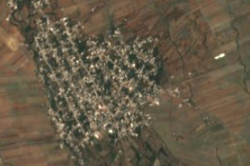


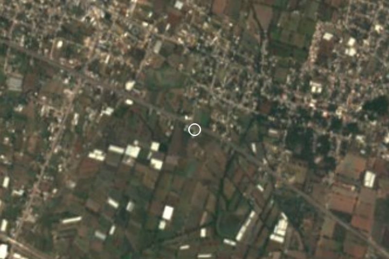


Drive times by road from OpenStreetMap, without traffic. Times marked ~ are estimated from the straight-line distance.
Location from OpenStreetMap. Written by Puebloteca.