

Village Ocuituco, Morelos Municipality of Ocuituco Volcano Route Monasteries on the slopes of Popocatépetl
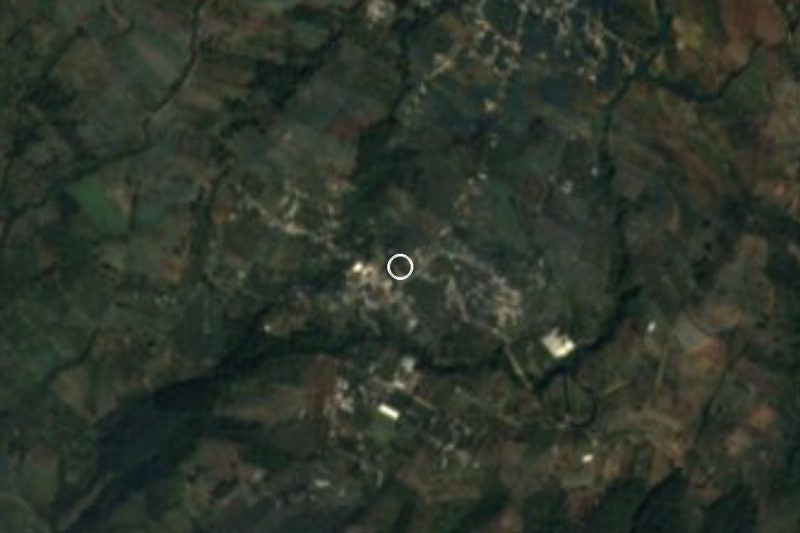
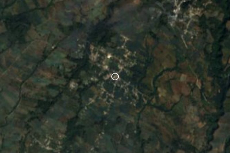
Metepec in Morelos, a village in Ocuituco municipality at 2,057 m on the slopes of Popocatépetl; not the Metepec in the State of Mexico.
From Cuautla: 30 min by car (28 km by road) How to get there ↓
Near here
See everything nearby ↓


Plan your visit to Metepec
Where to stay near Metepec
Compare hotels, posadas and guest houses in Metepec.
Tours to Metepec
Day trips and guided outings from Tlayacapan often include Metepec; with a local guide you can get there without a car.
 Tours from Atlixco
Atlixco Volcano Views Popocatépetl Tour Forest Route
From US$108
How to get to Metepec
- From Cuautla: about 30 min by road (~28 km)
- Nearest airport: Mexico City (MEX), 1 h 33 min by car to Tlayacapan
Links open a partner site. We may earn a commission if you book, at no cost to you.
Tours from Atlixco, near Metepec
Tours, prices and ratings from Viator, checked weekly. We may earn a commission if you book.
About Metepec
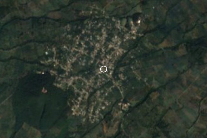
Metepec is a locality in the municipality of Ocuituco, in northeast Morelos, and is not the State of Mexico's Metepec, famous for its clay. The name comes from Nahuatl metl, maguey, and tepetl, hill: hill of the magueys. In 2020 it had 2,942 residents (2,581 in 2010), making it the municipality's third-largest locality after Ocuituco and Jumiltepec. It sits at about 2,057 m on the slopes of Popocatépetl.
Small hills surround the village: the Metepeczin, 2,137 m, about 800 m to the east, and the Calabazo, 2,170 m, less than 2 km south. At this height the climate is temperate and damp: 17 °C on average, January the coldest month and April the warmest, and about 1,450 mm of rain a year, with September the wettest, based on 1970 to 2025 data. The municipality reckons that over 70% of its economy is agricultural, chiefly corn, peaches and avocados.
About 3 km to the north is Ocuituco, the seat, with its Santiago Apóstol church and ex-convent, one of the 16th-century monasteries on the slopes of Popocatépetl named a World Heritage site in 1994; 2 km to the southwest lies Tetela del Volcán. The earthquake of 19 September 2017 destroyed 529 homes in the municipality and damaged another 511. There is no registered lodging in Metepec: the nearest hotels are in Ocuituco and 1 to 2 km to the northeast. We found no source describing the village's patron saint fiesta, so we leave it out.
How to get to Metepec
Drive from Cuautla: 30 min, 28 km
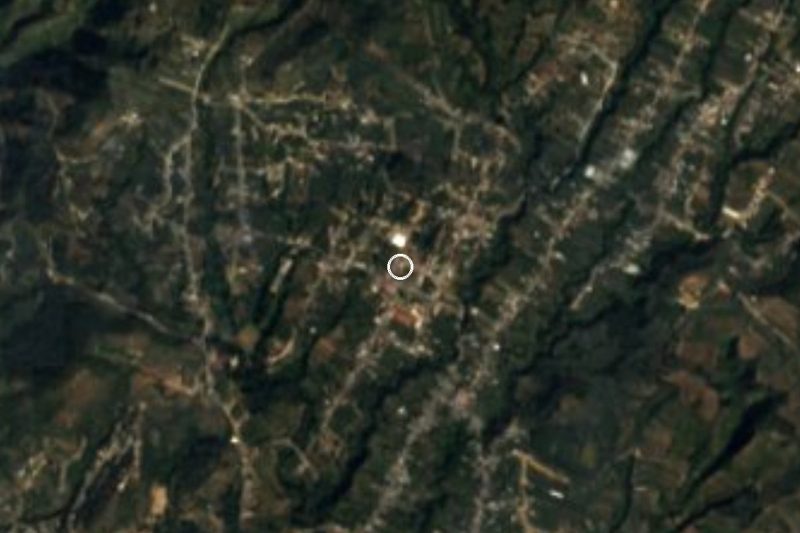
Metepec lies about 3 km south of Ocuituco and 2 km northeast of Tetela del Volcán, in the far northeast of Morelos. From Cuautla it is about 21 km in a straight line and 25 min by car; we found no published description of the route, and Yecapixtla, a neighbouring municipality of Ocuituco, is the likeliest way through; the last stretch climbs above 2,000 m, so plan for daylight. We found no numbered highway and no published direct bus: the usual way is by car, or by local transport from Cuautla or Yecapixtla to Ocuituco or Tetela del Volcán and then a taxi. From Mexico City, reach Cuautla by the Mexico City-Cuautla highway and continue from there. Tlayacapan, the nearest pueblo on our list, is about 26 km in a straight line, around 30 min. Make sure you are heading for Metepec in Morelos: there is another one in the State of Mexico.
Directions to Metepec on Google Maps
Distances are in a straight line; the road is usually longer.
Links open a partner site. We may earn a commission if you book, at no cost to you.
From the nearest cities to Metepec
- Cuautla · 28 km by road, 30 min
- Atlixco · 45 km by road, 55 min
- Cuernavaca · 75 km by road, 1 h 10 min
Drive times by road from OpenStreetMap, without traffic or stops. Times marked ~ are estimated from the straight-line distance.
Before you go to Metepec: hours, prices and tips
- Best season
- Temperate highland climate, 17 °C on average, rainy June to October with September the wettest; January is the coldest month and April the warmest. Pueblos América · checked Oct 2026
Hours and prices change, especially around holidays. Each fact links to where we checked it.
Visiting Metepec: what to see and do
Climb the Metepeczin, 800 m to the east: about 13 minutes on foot.
Walk toward Cerro Calabazo, under 2 km south, for a look at the volcano.
Visit the Santiago Apóstol ex-convent in Ocuituco, 3 km north.
Continue to Tetela del Volcán, 2 km southwest, and look at Popocatépetl.
Look for the peach and avocado orchards, the municipality's main crops.
Plan your trip
Places to stay in Metepec
Compare hotels, posadas, and rentals in and around Metepec.
Tours & activities
Day trips and guided outings from Tlayacapan often include Metepec; with a local guide you can get there without a car.
Rental cars
Pick up a car at MEX (Mexico City): about 1 h 33 min by road to Tlayacapan, then 26 km more to Metepec, on your own schedule.
Flights
The nearest airport with scheduled flights is Mexico City (MEX), about 1 h 33 min by road from Tlayacapan, the base for Metepec.
Mobile data
Signal can drop away from Tlayacapan: download a map of the way to Metepec before you set out, or carry an eSIM with data.
Links open a partner site. We may earn a commission if you book, at no cost to you.
When to go to Metepec mild
Metepec shares the climate of Tlayacapan, 26 km away. The best months to visit are January, February, March, and December.
See the month-by-month climate of Tlayacapan
Weather in Metepec now and the next 7 days
Live forecast from Open-Meteo. Chance of rain is the day's highest.
The closest Pueblo Mágico: Tlayacapan

Tlayacapan is the Pueblo Mágico closest to Metepec, with places to stay, food, and more to see.
Also close to
- Atlixco · Puebla · 34 km away
- Tepoztlán · Morelos · 39 km away
- Huejotzingo · Puebla · 47 km away
- Tlaltizapán · Morelos · 47 km away
- Cholula · Puebla · 50 km away
Closest to Metepec
-
Convento de San Juan Bautista (Tetela del Volcán) · Landmark · 2 km away
-
Huejotengo · Village · 2 km away
-
Tetela del Volcán · Town · 2 km away
-
Huepalcalco · Village · 3 km away
-
Ocuituco · Town · 3 km away
-
Templo y Exconvento de Santiago Apóstol de Ocuituco · Landmark · 3 km away
-
San Antonio Alpanocan · Village · 4 km away
-
Jumiltepec · Village · 5 km away

Near Metepec
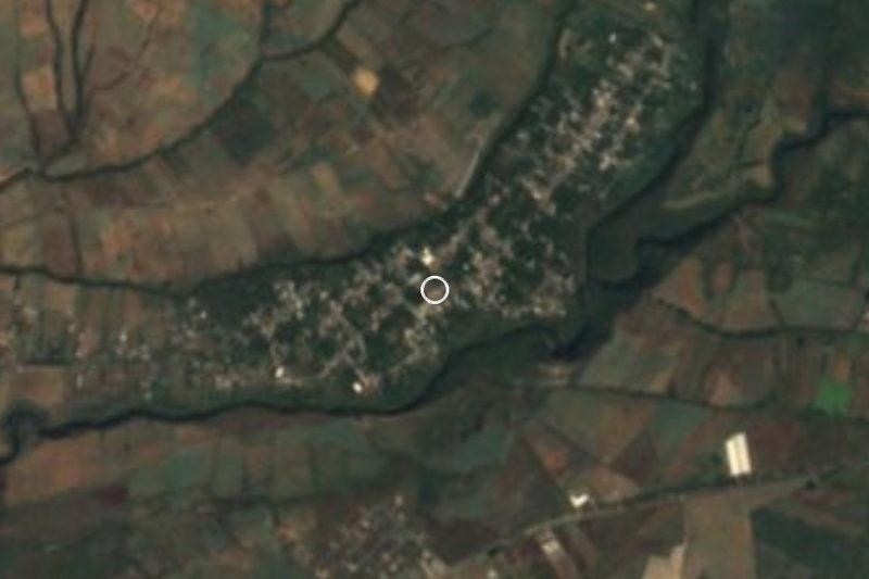
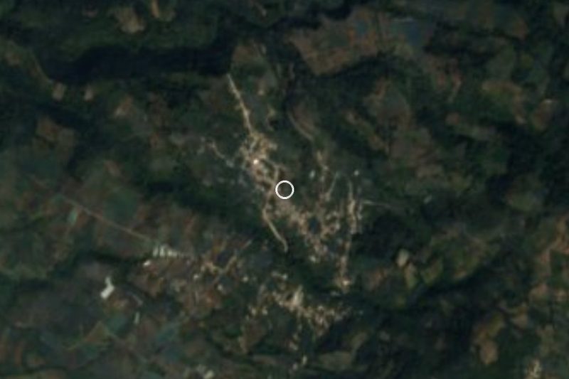
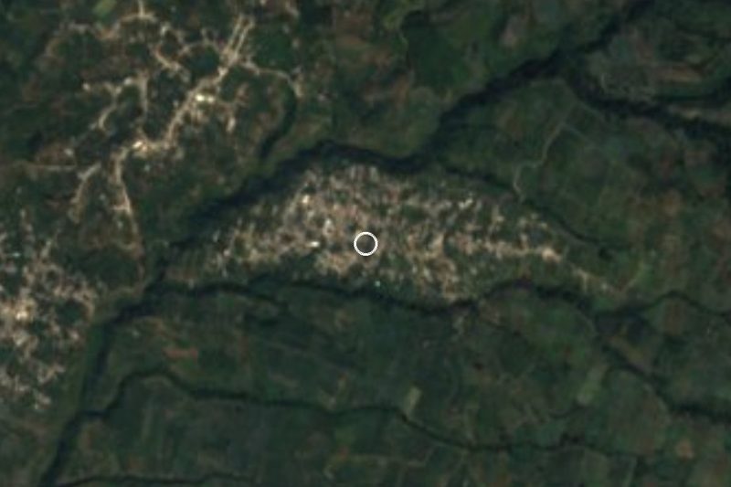


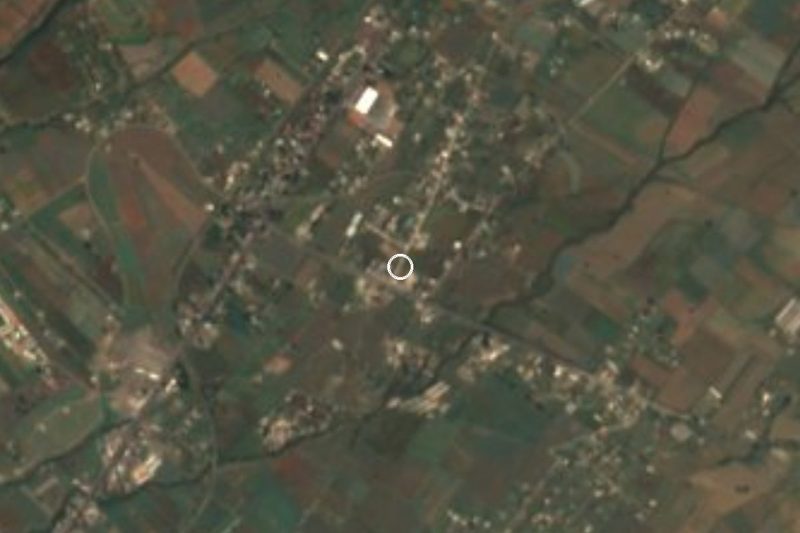


Drive times by road from OpenStreetMap, without traffic. Times marked ~ are estimated from the straight-line distance.
Location from OpenStreetMap. Written by Puebloteca.