Village Ocuituco, Morelos Municipality of Ocuituco Volcano Route Monasteries on the slopes of Popocatépetl
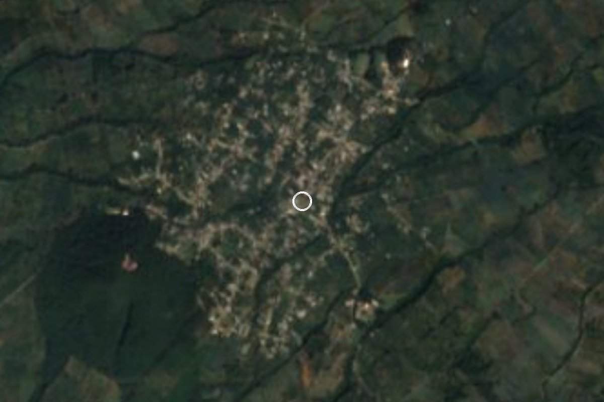
Ocuituco village on the slopes of Popocatépetl, with a parish dating to 1551, a hilltop chapel 2 km up and a Candelaria fiesta on 2 February.
From Cuautla: 30 min by car (28 km by road) How to get there ↓
Near here
See everything nearby ↓
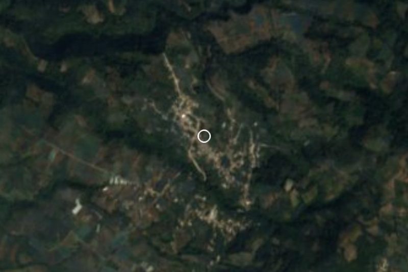


Plan your visit to Jumiltepec
Where to stay near Jumiltepec
Compare hotels, posadas and guest houses in Jumiltepec.
Tours to Jumiltepec
Day trips and guided outings from Tlayacapan often include Jumiltepec; with a local guide you can get there without a car.
 Tours from Atlixco
Atlixco Volcano Views Popocatépetl Tour Forest Route
From US$108
How to get to Jumiltepec
- From Cuautla: about 30 min by road (~28 km)
- Nearest airport: Mexico City (MEX), 1 h 33 min by car to Tlayacapan
Links open a partner site. We may earn a commission if you book, at no cost to you.
Tours from Atlixco, near Jumiltepec
Tours, prices and ratings from Viator, checked weekly. We may earn a commission if you book.
About Jumiltepec
Jumiltepec means "hill of the jumiles" in Nahuatl (xumilli, jumil; tepetl, hill), although a local chronicler points out that the insect really lives in hot lowlands, not here. The village had 4,281 people in 2020, up from 742 in 1900. Local writers call it "the mansion of the gods" and consider it one of the oldest settlements in Morelos, though that antiquity is oral tradition rather than documented fact.
The centre is dominated by the parish of San Andrés Apóstol, dated to 1551. According to the same Diario de Morelos piece, General Otilio Montaño is said to have drafted part of the Plan de Ayala behind it, and Emiliano Zapata sometimes stayed in the village with General Agustín Cázares, who was born here; Zapatista lookouts watched from the summit of the hill. About 2 km above the centre stands the Sacromonte, a chapel to the Virgen de la Candelaria, the village's patron, dating to 1646, when tradition says she appeared to an indigenous woman. It is also a lookout where families gather.
The main fiesta is the Candelaria, around 2 February; the Virgen de la Concepción is celebrated on 8 September and San Andrés on 30 November. The village grows avocado, peach, corn and honey, and is known for bread baked in clay ovens and for its cobbled streets.
How to get to Jumiltepec
Drive from Cuautla: 30 min, 28 km
Jumiltepec sits on the slopes of Popocatépetl, about 20 km in a straight line from Cuautla (allow 25 to 40 minutes by car, because the road climbs and bends). Leave Cuautla toward Yecapixtla and follow the paved road that connects to Ocuituco and Tetela del Volcán; at the municipal seat of Ocuituco, turnoffs a little over 1 km east and west lead to Huecahuaxco, Ocoxaltepec and Jumiltepec, according to the municipality's profile. Check the last stretch on a map, as We did not find a road distance in kilometres.
From Mexico City, the most direct way is the highway to Cuautla (Mexico-Cuernavaca and La Pera-Cuautla, 160D) and then up through Yecapixtla and Ocuituco. By public transport, take a bus to Cuautla (Cuautla bus terminal), then a combi or colectivo to Yecapixtla and on to Ocuituco, where you change for Jumiltepec; ask about local times, as We could not confirm them. The nearest pueblo in our guide, Tlayacapan, is about 22 km away in a straight line (about 25 minutes).
Directions to Jumiltepec on Google Maps
Distances are in a straight line; the road is usually longer.
Links open a partner site. We may earn a commission if you book, at no cost to you.
From the nearest cities to Jumiltepec
- Cuautla · 28 km by road, 30 min
- Atlixco · 53 km by road, 1 h 5 min
- Cuernavaca · 75 km by road, 1 h 10 min
Drive times by road from OpenStreetMap, without traffic or stops. Times marked ~ are estimated from the straight-line distance.
Before you go to Jumiltepec: hours, prices and tips
- Best season
- The Candelaria fiesta, the village's main feast, falls around 2 February and runs about three days; the Virgen de la Concepción follows on 8 September and San Andrés on 30 November. Wikipedia (Ocuituco) · checked Oct 2026
Hours and prices change, especially around holidays. Each fact links to where we checked it.
Visiting Jumiltepec: what to see and do
Visit the parish of San Andrés Apóstol in the centre, dated to 1551.
Climb to the Sacromonte, the chapel of the Virgen de la Candelaria about 2 km from the centre, with views over the valley.
Walk the cobbled streets and look for bread from clay ovens.
Ask in the village about General Agustín Cázares, tied to Zapata and the Plan de Ayala.
Come in February for the Candelaria fiesta, around the 2nd.
Add the former convent of Santiago Apóstol in Ocuituco.
Plan your trip
Places to stay in Jumiltepec
Compare hotels, posadas, and rentals in and around Jumiltepec.
Tours & activities
Day trips and guided outings from Tlayacapan often include Jumiltepec; with a local guide you can get there without a car.
Rental cars
Pick up a car at MEX (Mexico City): about 1 h 33 min by road to Tlayacapan, then 22 km more to Jumiltepec, on your own schedule.
Flights
The nearest airport with scheduled flights is Mexico City (MEX), about 1 h 33 min by road from Tlayacapan, the base for Jumiltepec.
Mobile data
Signal can drop away from Tlayacapan: download a map of the way to Jumiltepec before you set out, or carry an eSIM with data.
Links open a partner site. We may earn a commission if you book, at no cost to you.
When to go to Jumiltepec mild
Jumiltepec shares the climate of Tlayacapan, 22 km away. The best months to visit are January, February, March, and December.
See the month-by-month climate of Tlayacapan
Weather in Jumiltepec now and the next 7 days
Live forecast from Open-Meteo. Chance of rain is the day's highest.
The closest Pueblo Mágico: Tlayacapan

Tlayacapan is the Pueblo Mágico closest to Jumiltepec, with places to stay, food, and more to see.
Also close to
- Tepoztlán · Morelos · 35 km away
- Atlixco · Puebla · 37 km away
- Tlaltizapán · Morelos · 46 km away
- Huejotzingo · Puebla · 47 km away
- Cholula · Puebla · 52 km away
Closest to Jumiltepec
-
Huecahuasco · Village · 3 km away
-
Huejotengo · Village · 3 km away
-
Huepalcalco · Village · 3 km away
-
Ocoxaltepec · Village · 3 km away
-
Ocuituco · Town · 4 km away
-
Templo y Exconvento de Santiago Apóstol de Ocuituco · Landmark · 4 km away
-
Convento de San Juan Bautista (Tetela del Volcán) · Landmark · 5 km away
-
Metepec · Village · 5 km away


Near Jumiltepec
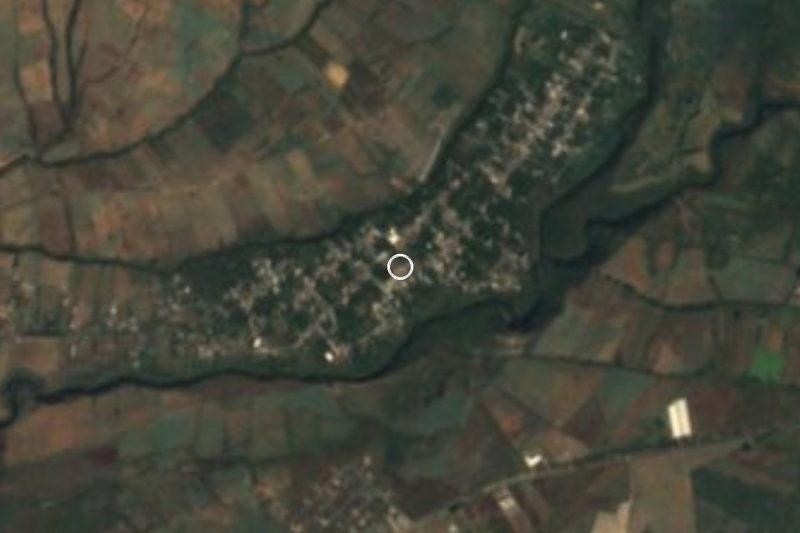
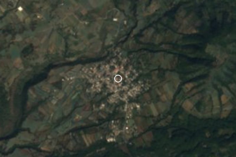




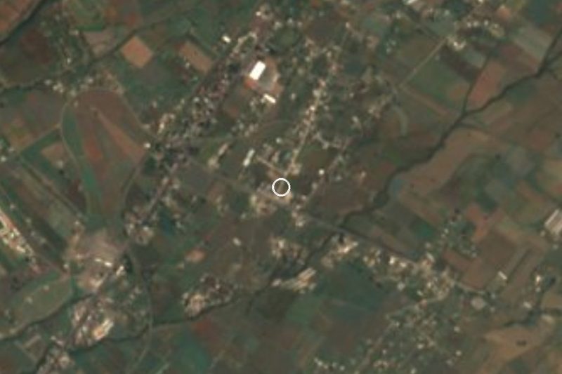

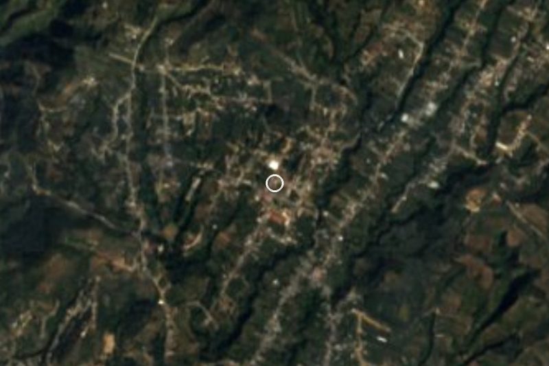
Drive times by road from OpenStreetMap, without traffic. Times marked ~ are estimated from the straight-line distance.
Location from OpenStreetMap. Written by Puebloteca.