Village Yecapixtla, Morelos Municipality of Yecapixtla Monasteries on the slopes of Popocatépetl Northern Morelos
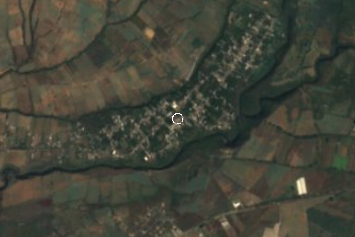
Village in Yecapixtla at 1,720 m; a 1581 map already shows it as a subject community of Yecapixtla, named for flowers.
From Cuautla: 25 min by car (19 km by road) How to get there ↓
Near here
See everything nearby ↓


Plan your visit to Xochitlán
Where to stay near Xochitlán
Compare hotels, posadas and guest houses in Xochitlán.
Tours to Xochitlán
Day trips and guided outings from Tlayacapan often include Xochitlán; with a local guide you can get there without a car.
How to get to Xochitlán
- From Cuautla: about 25 min by road (~19 km)
- Nearest airport: Mexico City (MEX), 1 h 33 min by car to Tlayacapan
Links open a partner site. We may earn a commission if you book, at no cost to you.
About Xochitlán
Xochitlán has a portrait from 1581. It is the map of the Relación Geográfica de Acapistla, where the place glyph is a branching plant with buds beside the words "Xochitlan estancia": at the time it was a subject community of Yecapixtla, a head town that belonged to Cortés's Marquesado del Valle and to the so-called Quatro Villas. The same map draws a church seen from the front beside the glyph, and a stream that runs down to a smaller church for another dependent settlement, Atlitiqui.
The name is Nahuatl, from xochitl (flower) and the suffix -tlan, and Wikipedia sums it up as "place where flowers abound". Today Xochitlán is a locality of the municipality of Yecapixtla at 1,720 m, in the Popocatépetl convent region, with 2,882 residents in the 2020 census. The censuses show steady growth: 595 people in 1900, 808 in 1940, 1,206 in 1970, 1,964 in 1990 and 2,606 in 2010.
We found no sources describing its church, fiesta or economy, so they are left out. What is well documented is the head town: Yecapixtla keeps the Augustinian convent of San Juan Bautista and a yearly cecina (dried beef) fair. A visit to Xochitlán therefore sits on the Popocatépetl convent trail, in a high village, cooler than Cuautla because of the difference in altitude.
How to get to Xochitlán
Drive from Cuautla: 25 min, 19 km
Xochitlán is about 14 km from Cuautla in a straight line (roughly 20 to 30 minutes by car) and belongs to Yecapixtla, from where a local road leads on. From Mexico City, take the México-Cuautla toll road (160D) to Cuautla or straight to the Yecapixtla junction, follow the signs to the head town and then on to Xochitlán. Confirm the last stretch on a map, because Puebla has two other localities with the same name (Xochitlán de Vicente Suárez and Xochitlán Todos Santos), and neither is this one.
By bus, Rome2Rio lists a service from Cuautla to the Yecapixtla crossroads of about 30 minutes (check times at ahorrobus.com.mx); from the crossroads you need a taxi or colectivo, and We found no published line that enters Xochitlán, so ask at the Yecapixtla stop. Tlayacapan, the nearest pueblo in this guide, is about 19 km away in a straight line (roughly 20 minutes by road, likely a little more).
Directions to Xochitlán on Google Maps
Distances are in a straight line; the road is usually longer.
Links open a partner site. We may earn a commission if you book, at no cost to you.
From the nearest cities to Xochitlán
- Cuautla · 19 km by road, 25 min
- Cuernavaca · 66 km by road, 1 h
- Atlixco · 56 km by road, 1 h 10 min
Drive times by road from OpenStreetMap, without traffic or stops. Times marked ~ are estimated from the straight-line distance.
Visiting Xochitlán: what to see and do
Walk the village at 1,720 m.
Ask about its church and patron-saint fiesta.
Visit the convent of San Juan Bautista in Yecapixtla, the head town.
Try Yecapixtla's cecina.
Follow the Popocatépetl convent trail.
Plan your trip
Places to stay in Xochitlán
Compare hotels, posadas, and rentals in and around Xochitlán.
Tours & activities
Day trips and guided outings from Tlayacapan often include Xochitlán; with a local guide you can get there without a car.
Rental cars
Pick up a car at MEX (Mexico City): about 1 h 33 min by road to Tlayacapan, then 19 km more to Xochitlán, on your own schedule.
Flights
The nearest airport with scheduled flights is Mexico City (MEX), about 1 h 33 min by road from Tlayacapan, the base for Xochitlán.
Mobile data
Signal can drop away from Tlayacapan: download a map of the way to Xochitlán before you set out, or carry an eSIM with data.
Links open a partner site. We may earn a commission if you book, at no cost to you.
When to go to Xochitlán mild
Xochitlán shares the climate of Tlayacapan, 19 km away. The best months to visit are January, February, March, and December.
See the month-by-month climate of Tlayacapan
Weather in Xochitlán now and the next 7 days
Live forecast from Open-Meteo. Chance of rain is the day's highest.
The closest Pueblo Mágico: Tlayacapan

Tlayacapan is the Pueblo Mágico closest to Xochitlán, with places to stay, food, and more to see.
Also close to
- Tepoztlán · Morelos · 32 km away
- Tlaltizapán · Morelos · 40 km away
- Atlixco · Puebla · 41 km away
- Huejotzingo · Puebla · 53 km away
- Xochitepec · Morelos · 53 km away
Closest to Xochitlán
-
Ocuituco · Town · 4 km away
-
Templo y Exconvento de Santiago Apóstol de Ocuituco · Landmark · 4 km away
-
Templo y Exconvento de San Juan Bautista de Yecapixtla · Landmark · 5 km away
-
Yecapixtla · Town · 5 km away
-
Jumiltepec · Village · 6 km away
-
Achichipico · Village · 7 km away
-
Huecahuasco · Village · 7 km away
-
Huejotengo · Village · 7 km away
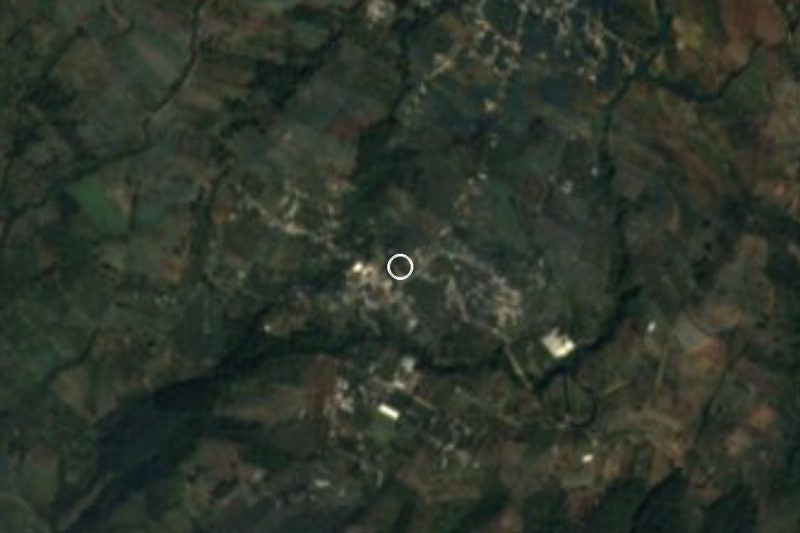
Near Xochitlán
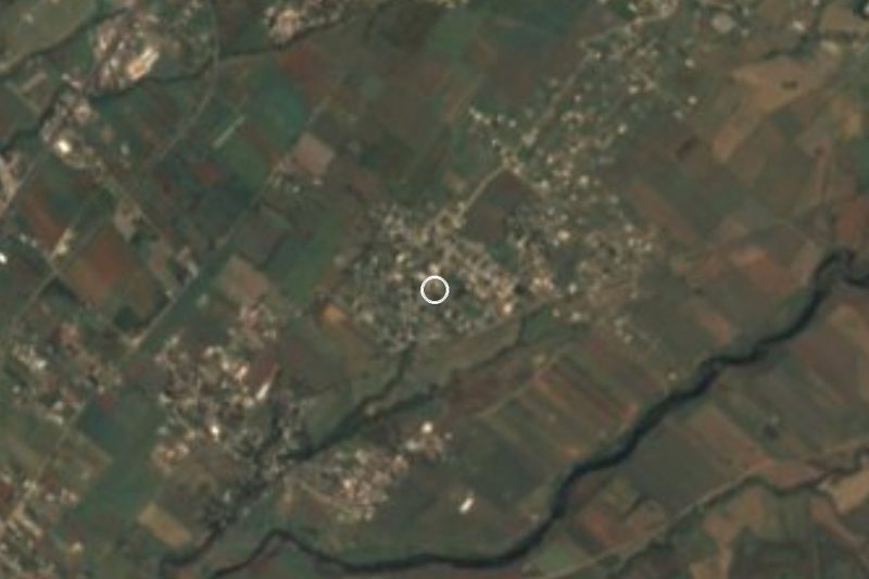
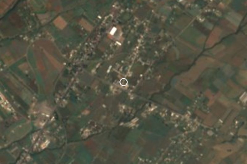
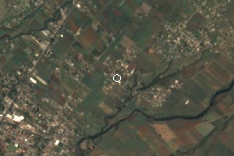


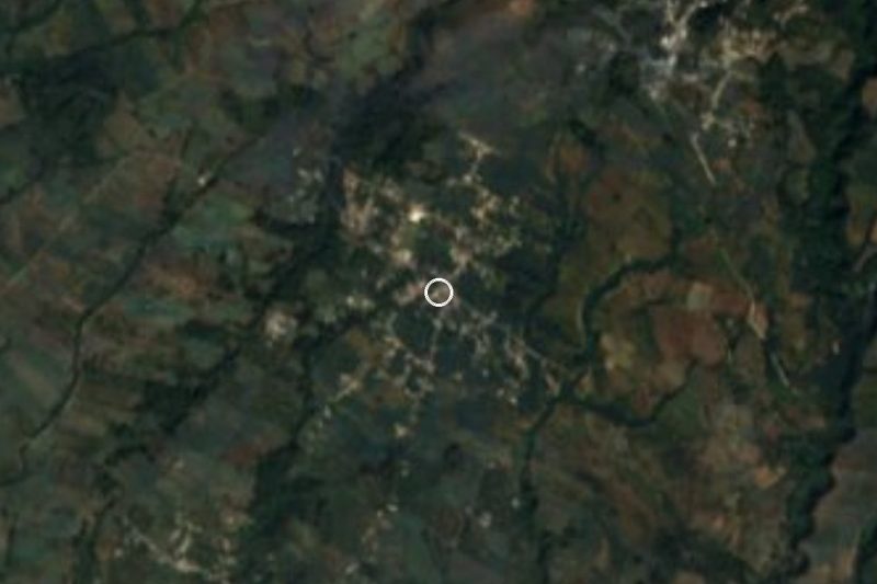



Drive times by road from OpenStreetMap, without traffic. Times marked ~ are estimated from the straight-line distance.
Location from OpenStreetMap. Written by Puebloteca.