Village Ocuituco, Morelos Municipality of Ocuituco Volcano Route Monasteries on the slopes of Popocatépetl
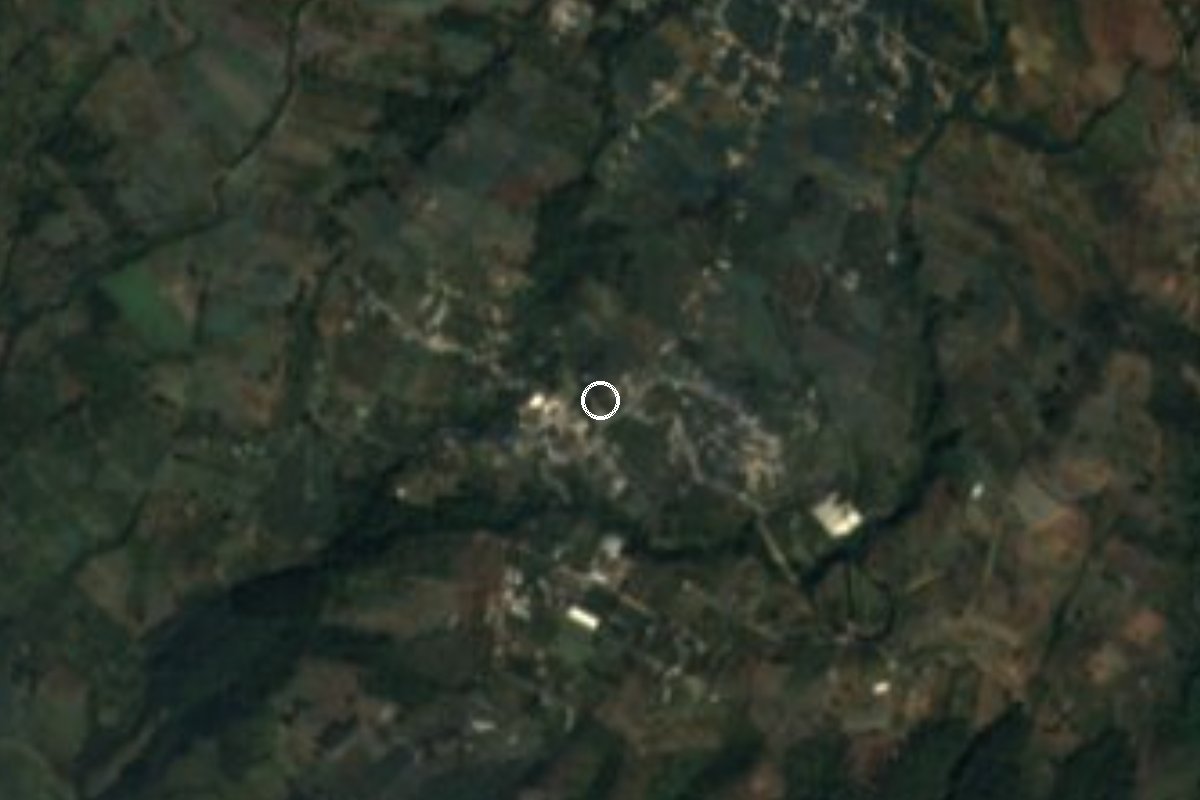
Ocuituco village at 2,164 m on the Popocatépetl slope, where women rebuilt their homes after the 2017 quake and now process avocado.
From Cuautla: 30 min by car (29 km by road) How to get there ↓
Near here
See everything nearby ↓




Plan your visit to Huejotengo
Where to stay near Huejotengo
Compare hotels, posadas and guest houses in Huejotengo.
Tours to Huejotengo
Day trips and guided outings from Tlayacapan often include Huejotengo; with a local guide you can get there without a car.
 Tours from Atlixco
Atlixco Volcano Views Popocatépetl Tour Forest Route
From US$108
How to get to Huejotengo
- From Cuautla: about 30 min by road (~29 km)
- Nearest airport: Mexico City (MEX), 1 h 33 min by car to Tlayacapan
Links open a partner site. We may earn a commission if you book, at no cost to you.
Tours from Atlixco, near Huejotengo
Tours, prices and ratings from Viator, checked weekly. We may earn a commission if you book.
About Huejotengo
When the earthquake of 19 September 2017 hit Morelos, Huejotengo was among the hardest-hit communities in the state: Wikipedia says 88 adobe houses were destroyed and more than a hundred damaged. What the village did next is what it is known for. Women organised into collectives, took reconstruction into their own hands and learned masonry and carpentry with funding from Fondo Semillas, channelled through the Ayok collective. One of the groups is called El Sueño de Huejotengo. Animal Político and La Silla Rota reported on how they rebuilt their own homes.
A small business came out of it too. The avocados grown in the community began to be processed rather than sold only fresh, giving the village a modest local agro-industry.
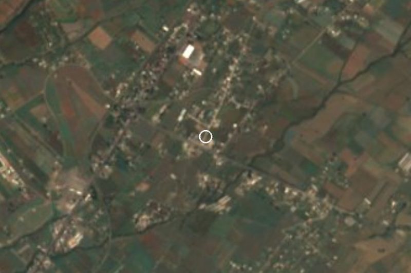
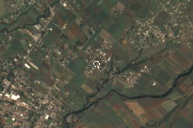
The village stands at 2,164 metres on the slopes of Popocatépetl, close to the State of Mexico border, about 5 km north of Ocuituco on a paved road. It had 979 residents in 2010 and 1,127 in 2020, making it the municipality's seventh-largest locality. Rainfall is around 1,470 mm a year, mostly June to October, and the average temperature is about 16 °C with cold nights in January.
Huejotengo has no tourist infrastructure. You visit to see a rural community on the volcano's slope; if you want to buy what the women's groups make, contact them or ask locally beforehand.
How to get to Huejotengo
Drive from Cuautla: 30 min, 29 km
Huejotengo is about 5 km north of Ocuituco, the municipal seat, reached by a paved road leaving that town, so the route is first to Ocuituco. From Cuautla a route planner gives 26.6 km and about 37 minutes by car to Ocuituco; from Yecapixtla it is about 11 km (roughly 17 minutes). Add roughly 10 to 15 minutes for the last stretch to the village.
We found no published public transport timetable for Ocuituco or Huejotengo. The usual approach is to take a bus to Cuautla (from Mexico City, buses leave from Terminal Sur Taxqueña and TAPO), then look for a combi to Yecapixtla or Ocuituco; in Ocuituco, ask for the combi or taxi to Huejotengo.
Bring cash and let your hosts know you are coming: the village has no tourist services. It is cool at this altitude and rains heavily from June to October.
Directions to Huejotengo on Google Maps
Distances are in a straight line; the road is usually longer.
Links open a partner site. We may earn a commission if you book, at no cost to you.
From the nearest cities to Huejotengo
- Cuautla · 29 km by road, 30 min
- Atlixco · 48 km by road, 1 h
- Cuernavaca · 75 km by road, 1 h 10 min
Drive times by road from OpenStreetMap, without traffic or stops. Times marked ~ are estimated from the straight-line distance.
Visiting Huejotengo: what to see and do
Walk the village streets and see the homes rebuilt after the 2017 quake.
Ask about El Sueño de Huejotengo and the avocado products.
Look for Popocatépetl from the upper part of the village on a clear day.
Go down to Ocuituco (about 5 km) to see the church and former convent of Santiago Apóstol.
Continue to Huepalcalco, about 4 km away in a straight line.
Plan your trip
Places to stay in Huejotengo
Compare hotels, posadas, and rentals in and around Huejotengo.
Tours & activities
Day trips and guided outings from Tlayacapan often include Huejotengo; with a local guide you can get there without a car.
Rental cars
Pick up a car at MEX (Mexico City): about 1 h 33 min by road to Tlayacapan, then 25 km more to Huejotengo, on your own schedule.
Flights
The nearest airport with scheduled flights is Mexico City (MEX), about 1 h 33 min by road from Tlayacapan, the base for Huejotengo.
Mobile data
Signal can drop away from Tlayacapan: download a map of the way to Huejotengo before you set out, or carry an eSIM with data.
Links open a partner site. We may earn a commission if you book, at no cost to you.
When to go to Huejotengo mild
Huejotengo shares the climate of Tlayacapan, 25 km away. The best months to visit are January, February, March, and December.
See the month-by-month climate of Tlayacapan
Weather in Huejotengo now and the next 7 days
Live forecast from Open-Meteo. Chance of rain is the day's highest.
The closest Pueblo Mágico: Tlayacapan

Tlayacapan is the Pueblo Mágico closest to Huejotengo, with places to stay, food, and more to see.
Also close to
- Atlixco · Puebla · 34 km away
- Tepoztlán · Morelos · 38 km away
- Huejotzingo · Puebla · 47 km away
- Tlaltizapán · Morelos · 47 km away
- Cholula · Puebla · 50 km away
Closest to Huejotengo
-
Huepalcalco · Village · 1 km away
-
Metepec · Village · 2 km away
-
Convento de San Juan Bautista (Tetela del Volcán) · Landmark · 3 km away
-
Jumiltepec · Village · 3 km away
-
Ocuituco · Town · 3 km away
-
Templo y Exconvento de Santiago Apóstol de Ocuituco · Landmark · 3 km away
-
Tetela del Volcán · Town · 3 km away
-
Ocoxaltepec · Village · 4 km away
Near Huejotengo
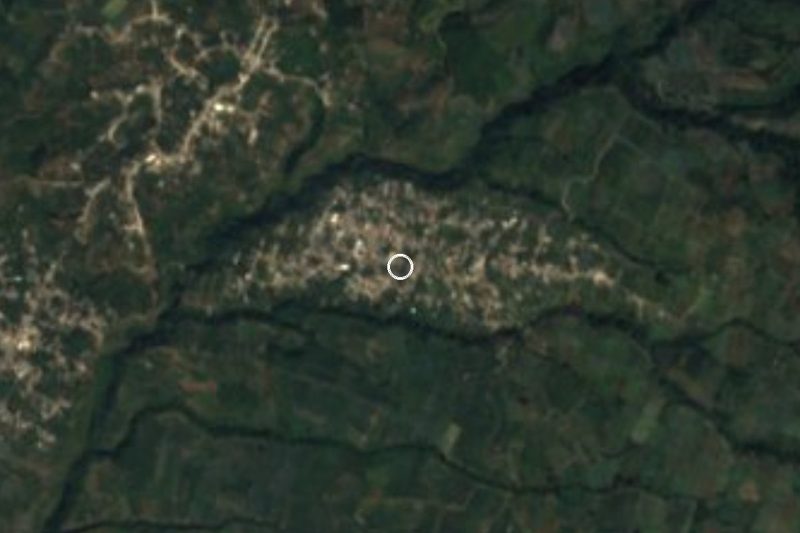






Drive times by road from OpenStreetMap, without traffic. Times marked ~ are estimated from the straight-line distance.
Location from OpenStreetMap. Written by Puebloteca.