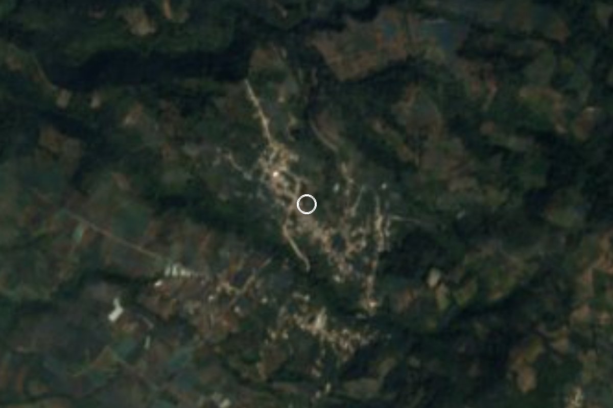
Village Ocuituco, Morelos Municipality of Ocuituco Volcano Route Monasteries on the slopes of Popocatépetl
Village of about 1,500 people at 2,374 m on the slopes of the Popocatepetl region, in Ocuituco, with a cool, rainy mountain climate.
From Cuautla: 40 min by car (32 km by road) How to get there ↓
Near here
See everything nearby ↓
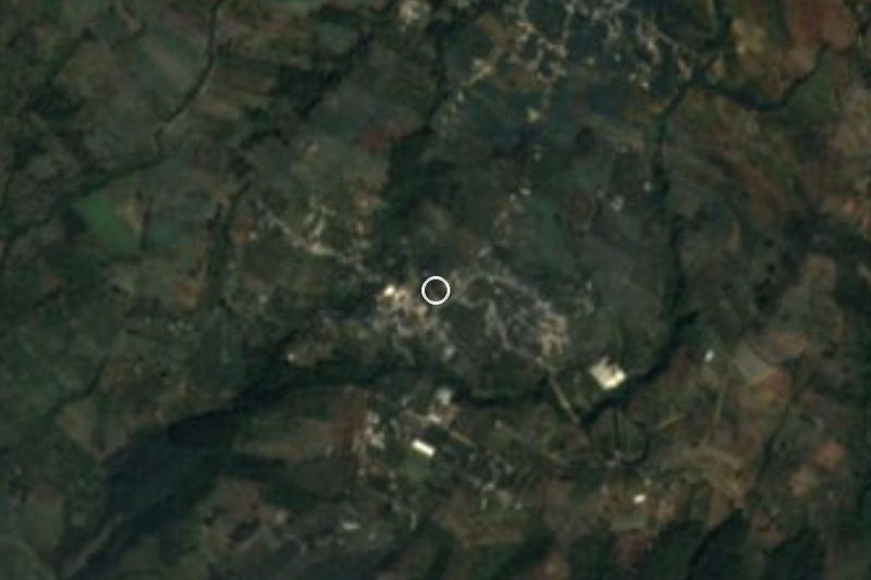

Plan your visit to Ocoxaltepec
Where to stay near Ocoxaltepec
Compare hotels, posadas and guest houses in Ocoxaltepec.
Tours to Ocoxaltepec
Day trips and guided outings from Tlayacapan often include Ocoxaltepec; with a local guide you can get there without a car.
 Tours from Atlixco
Atlixco Volcano Views Popocatépetl Tour Forest Route
From US$108
How to get to Ocoxaltepec
- From Cuautla: about 40 min by road (~32 km)
- Nearest airport: Mexico City (MEX), 1 h 33 min by car to Tlayacapan
Links open a partner site. We may earn a commission if you book, at no cost to you.
Tours from Atlixco, near Ocoxaltepec
Tours, prices and ratings from Viator, checked weekly. We may earn a commission if you book.
About Ocoxaltepec
Ocoxaltepec sits at 2,374 meters above sea level, among the highest villages of the municipality of Ocuituco in northern Morelos. The name comes from Nahuatl: ocotl (pitch pine), xalli (sand) and tepetl (hill), roughly "hill of the pine litter", which suits a setting of pine forest.
The 2020 census counted 1,531 residents, up from 1,338 in 2010 and 1,209 in 2005, in about 400 homes. The altitude sets the climate: according to the climate data on Pueblos de America, the average annual temperature is around 15 °C, January is the coldest month and April the warmest, and about 1,580 mm of rain falls each year, June being the wettest month. Lows of -1 °C have been recorded, so bring a sweater even outside winter.
Hills of 2,587 to 2,919 meters rise around the village, among them Tlaltemanoli, 1.3 km to the southeast, and Cuautlotilo, about 4 km east. The nearest neighbors in a straight line are Huecahuaxco, Jumiltepec, Huepalcalco and, to the west, Ecatzingo de Hidalgo, already across the line in the State of Mexico.
There are no hotels in the village; the closest are 4 to 9 km away, toward Ocuituco and Tetela del Volcan. This is a place of daily life rather than a tourist stop: it works as a pause if you are touring the villages of northern Ocuituco.
How to get to Ocoxaltepec
Drive from Cuautla: 40 min, 32 km
Ocoxaltepec is about 6.7 km north of Ocuituco, the municipal seat, in northern Morelos. From Cuautla it is about 23 km in a straight line (by road, considerably more, roughly 40 to 60 minutes): the usual way runs from Cuautla to Yecapixtla and then to Ocuituco, continuing north on the local road to the village. We found no source with road numbers or transport companies, so confirm the route in Cuautla or Ocuituco.
Without a car, public transport is the hard part: Pueblos de America users name transport as the village's main problem. The realistic option is to reach Cuautla (buses from Terminal Sur Taxqueña or TAPO in Mexico City) and continue by local transport through Yecapixtla and Ocuituco, or hire a taxi in Ocuituco. From Tlayacapan, the reference pueblo, it is roughly 35 to 53 km depending on the source, about an hour by car.
Directions to Ocoxaltepec on Google Maps
Distances are in a straight line; the road is usually longer.
Links open a partner site. We may earn a commission if you book, at no cost to you.
From the nearest cities to Ocoxaltepec
- Cuautla · 32 km by road, 40 min
- Atlixco · 51 km by road, 1 h
- Cuernavaca · 79 km by road, 1 h 15 min
Drive times by road from OpenStreetMap, without traffic or stops. Times marked ~ are estimated from the straight-line distance.
Visiting Ocoxaltepec: what to see and do
Walk among the pines and the farm plots on the slopes around the village.
Climb toward Tlaltemanoli hill, 1.3 km to the southeast.
Take in the 2,600 to 2,900 m hills that ring the village.
Stop in Huecahuaxco or Jumiltepec, neighbors about 3 km away.
Bring a jacket: the climate is mountain-cool and very rainy.
Plan your trip
Places to stay in Ocoxaltepec
Compare hotels, posadas, and rentals in and around Ocoxaltepec.
Tours & activities
Day trips and guided outings from Tlayacapan often include Ocoxaltepec; with a local guide you can get there without a car.
Rental cars
Pick up a car at MEX (Mexico City): about 1 h 33 min by road to Tlayacapan, then 24 km more to Ocoxaltepec, on your own schedule.
Flights
The nearest airport with scheduled flights is Mexico City (MEX), about 1 h 33 min by road from Tlayacapan, the base for Ocoxaltepec.
Mobile data
Signal can drop away from Tlayacapan: download a map of the way to Ocoxaltepec before you set out, or carry an eSIM with data.
Links open a partner site. We may earn a commission if you book, at no cost to you.
When to go to Ocoxaltepec mild
Ocoxaltepec shares the climate of Tlayacapan, 24 km away. The best months to visit are January, February, March, and December.
See the month-by-month climate of Tlayacapan
Weather in Ocoxaltepec now and the next 7 days
Live forecast from Open-Meteo. Chance of rain is the day's highest.
The closest Pueblo Mágico: Tlayacapan

Tlayacapan is the Pueblo Mágico closest to Ocoxaltepec, with places to stay, food, and more to see.
Also close to
- Atlixco · Puebla · 34 km away
- Tepoztlán · Morelos · 37 km away
- Huejotzingo · Puebla · 44 km away
- Tlaltizapán · Morelos · 49 km away
- Cholula · Puebla · 49 km away
Closest to Ocoxaltepec
-
Huecahuasco · Village · 3 km away
-
Huepalcalco · Village · 3 km away
-
Jumiltepec · Village · 3 km away
-
Huejotengo · Village · 4 km away
-
Convento de San Juan Bautista (Tetela del Volcán) · Landmark · 5 km away
-
Tetela del Volcán · Town · 5 km away
-
Metepec · Village · 6 km away
-
Ocuituco · Town · 7 km away


Near Ocoxaltepec

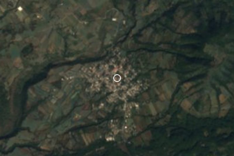

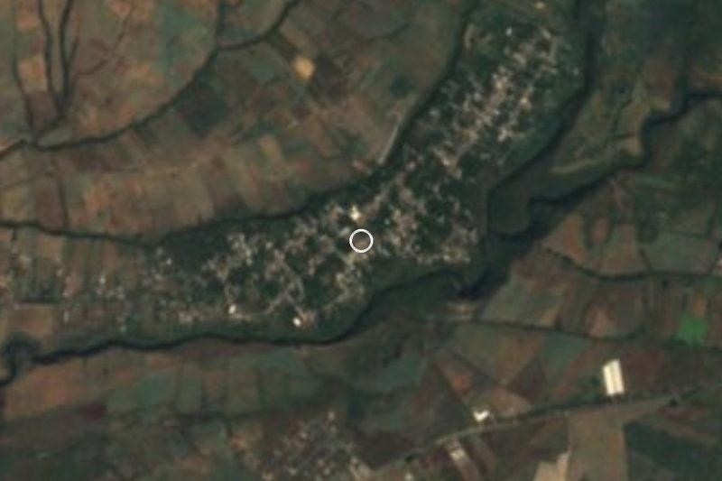
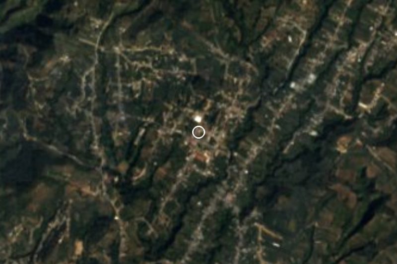




Drive times by road from OpenStreetMap, without traffic. Times marked ~ are estimated from the straight-line distance.
Location from OpenStreetMap. Written by Puebloteca.