
Village Tochimilco, Puebla Municipality of Tochimilco Volcano Route Monasteries on the slopes of Popocatépetl
Indigenous Tochimilco community on the slopes of Popocatépetl, surrounded by Morelos; the 2017 earthquake brought down 90% of its buildings.
From Cuautla: 40 min by car (38 km by road) How to get there ↓
Near here
See everything nearby ↓


Plan your visit to San Antonio Alpanocan
Where to stay near San Antonio Alpanocan
Compare hotels, posadas and guest houses in San Antonio Alpanocan.
Tours to San Antonio Alpanocan
Day trips and guided outings from Atlixco often include San Antonio Alpanocan; with a local guide you can get there without a car.
How to get to San Antonio Alpanocan
- From Cuautla: about 40 min by road (~38 km)
- Nearest airport: Puebla (PBC), 41 min by car to Atlixco
Links open a partner site. We may earn a commission if you book, at no cost to you.
About San Antonio Alpanocan
On the map, San Antonio Alpanocan looks like a mistake: it belongs to Puebla, but sits in a strip of Puebla territory entirely surrounded by Morelos, between Tetela del Volcán to the west and Hueyapan to the east. It lies on the slopes of Popocatépetl at 2,065 m and had 2,828 residents in 2010. It is an auxiliary town of Tochimilco municipality, about 12 km from the seat, living from maize, beans, flowers and poultry.
On 19 September 2017 the earthquake that struck central Mexico destroyed about 90% of the village's buildings, including schools, the auxiliary town hall and the church of San Antonio de Padua, though nobody died. Many houses were adobe.
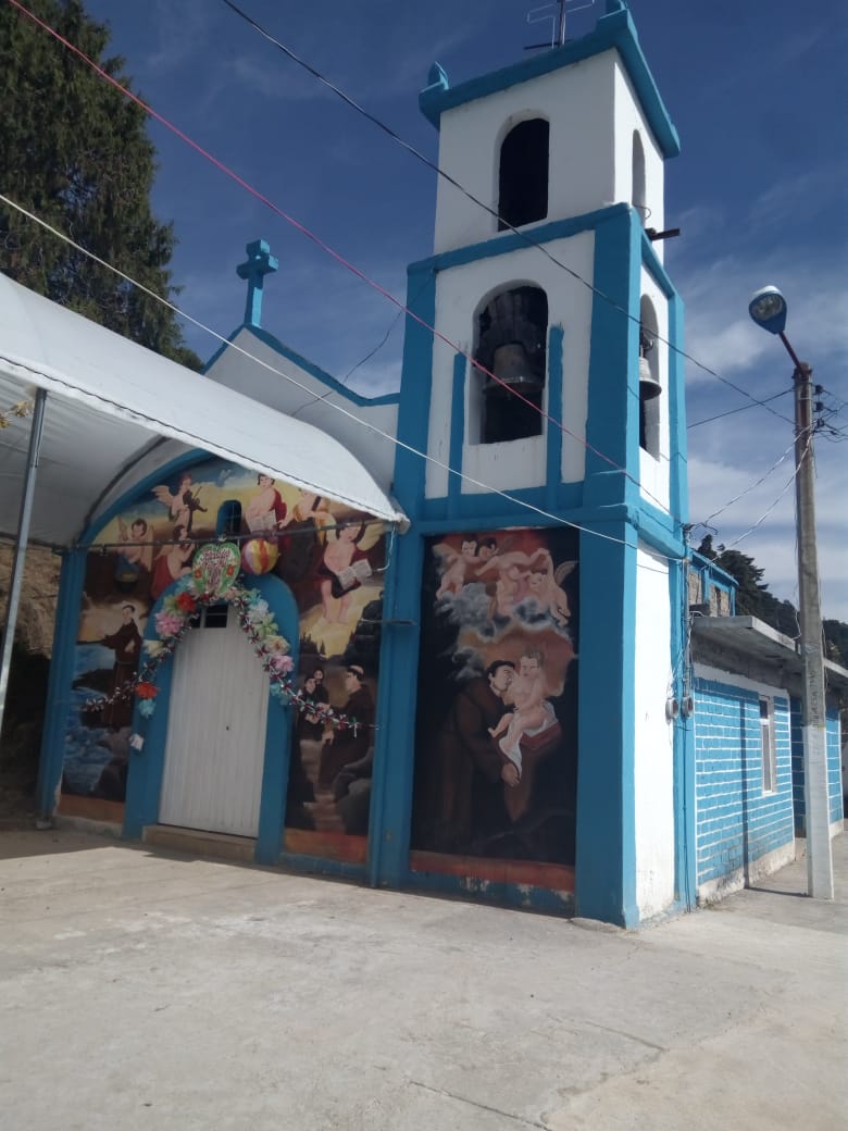
Alpanocan is now seeking recognition of its territory as an indigenous community, and talks have begun between the Morelos and Puebla governments. The main fiesta is on 13 June, the feast of San Antonio de Padua, whose chapel, painted blue with murals of the saint on its front, is the village's emblem.
How to get to San Antonio Alpanocan
Drive from Cuautla: 40 min, 38 km
The paved way in is through Morelos. From Cuautla take federal highway 115 towards Izúcar and after about 9 km state road 10 via Yecapixtla and Ocuituco to Tetela del Volcán; from there a paved road continues east to Alpanocan. That is about 40 km and 45 minutes. From Atlixco, the nearest pueblo mágico, the road via Tochimilco and Santiago Tochimizolco is about 39 km (some 50 minutes by routing), but on the Puebla side the link to Tochimizolco includes dirt stretches, so ask about the road first. From the city of Puebla, the simplest is via Atlixco or round through Cuautla. By public transport, the practical option is to reach Cuautla and take local transport to Tetela del Volcán.
Directions to San Antonio Alpanocan on Google Maps
Distances are in a straight line; the road is usually longer.
Links open a partner site. We may earn a commission if you book, at no cost to you.
From the nearest cities to San Antonio Alpanocan
Drive times by road from OpenStreetMap, without traffic or stops. Times marked ~ are estimated from the straight-line distance.
Visiting San Antonio Alpanocan: what to see and do
The blue chapel of San Antonio de Padua, with murals on its front.
The San Antonio fiesta on 13 June.
The village's flower fields and maize plots.
Views of Popocatépetl from its lower slopes.
The former convent of San Juan Bautista in neighbouring Tetela del Volcán, Morelos.
Plan your trip
Places to stay in San Antonio Alpanocan
Compare hotels, posadas, and rentals in and around San Antonio Alpanocan.
Tours & activities
Day trips and guided outings from Atlixco often include San Antonio Alpanocan; with a local guide you can get there without a car.
Rental cars
Pick up a car at PBC (Puebla): about 41 min by road to Atlixco, then 30 km more to San Antonio Alpanocan, on your own schedule.
Flights
The nearest airport with scheduled flights is Puebla (PBC), about 41 min by road from Atlixco, the base for San Antonio Alpanocan.
Mobile data
Signal can drop away from Atlixco: download a map of the way to San Antonio Alpanocan before you set out, or carry an eSIM with data.
Links open a partner site. We may earn a commission if you book, at no cost to you.
When to go to San Antonio Alpanocan mild
San Antonio Alpanocan shares the climate of Atlixco, 30 km away. The best months to visit are January, February, March, and December.
See the month-by-month climate of Atlixco
Weather in San Antonio Alpanocan now and the next 7 days
Live forecast from Open-Meteo. Chance of rain is the day's highest.
The closest Pueblo Mágico: Atlixco

Atlixco is the Pueblo Mágico closest to San Antonio Alpanocan, with places to stay, food, and more to see.
Also close to
- Tlayacapan · Morelos · 30 km away
- Tepoztlán · Morelos · 43 km away
- Huejotzingo · Puebla · 45 km away
- Cholula · Puebla · 47 km away
- Tlaltizapán · Morelos · 50 km away
Closest to San Antonio Alpanocan
-
Ex Convento de Santo Domingo de Guzmán · Landmark · 2 km away
-
Convento de San Juan Bautista (Tetela del Volcán) · Landmark · 3 km away
-
Tetela del Volcán · Town · 3 km away
-
Metepec · Village · 4 km away
-
Huejotengo · Village · 5 km away
-
Huepalcalco · Village · 5 km away
-
Ocuituco · Town · 7 km away
-
San Juan Amecac · Village · 7 km away

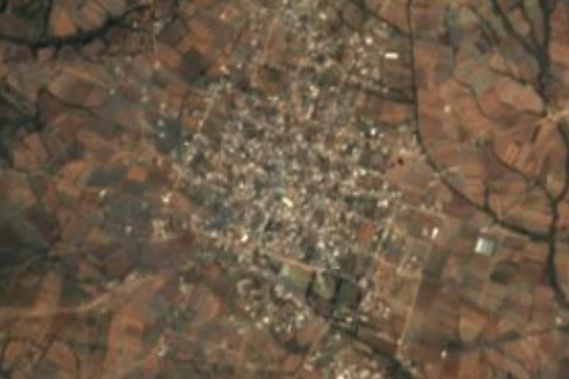
Near San Antonio Alpanocan

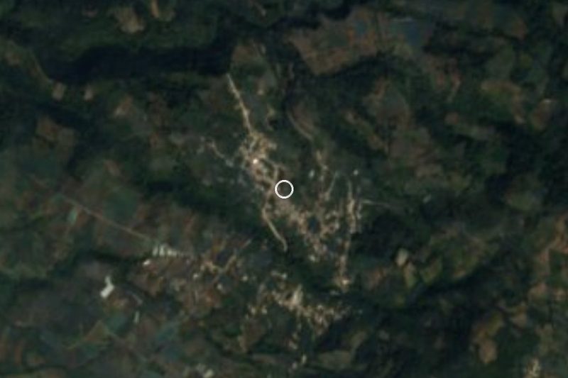
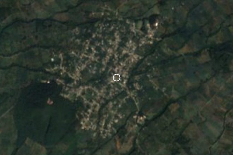


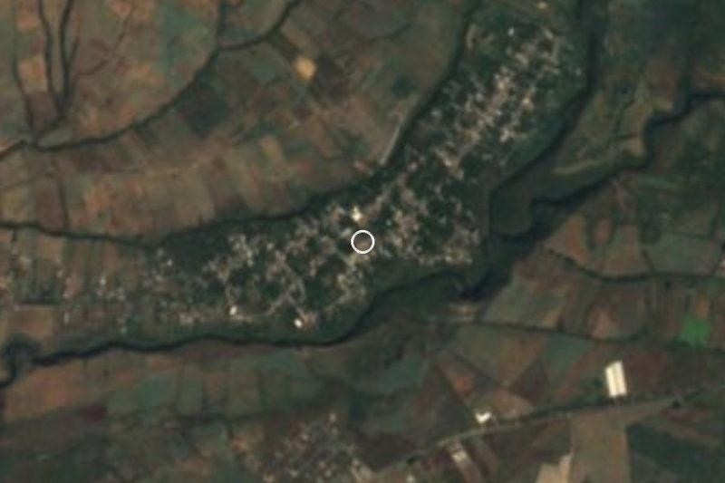

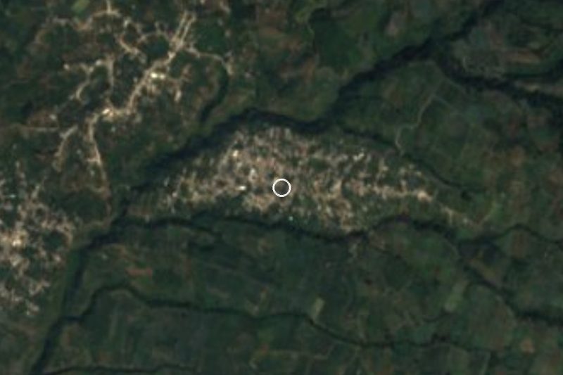



Drive times by road from OpenStreetMap, without traffic. Times marked ~ are estimated from the straight-line distance.
Location from OpenStreetMap. Written by Puebloteca.