Town Ozumba, Estado de México Volcano Route
A Pueblo con Encanto below Popocatépetl: Tuesday and Friday market, a Franciscan church with 16th-century murals, and the font where Sor Juana was baptised.
From Cuautla: 35 min by car (32 km by road) How to get there ↓
Near here
See everything nearby ↓


Plan your visit to Ozumba
Where to stay near Ozumba
Compare hotels, posadas and guest houses in Ozumba.
Tours to Ozumba
Day trips around Tlayacapan sometimes stop in Ozumba; a tour is the easy way to see it without a car.
 Tours from Atlixco
Atlixco Volcano Views Popocatépetl Tour Forest Route
From US$108
How to get to Ozumba
- From Cuautla: about 35 min by road (~32 km)
- Nearest airport: Mexico City (MEX), 1 h 33 min by car to Tlayacapan
Links open a partner site. We may earn a commission if you book, at no cost to you.
Tours from Atlixco, near Ozumba
Tours, prices and ratings from Viator, checked weekly. We may earn a commission if you book.
About Ozumba
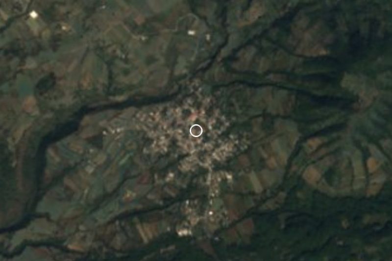
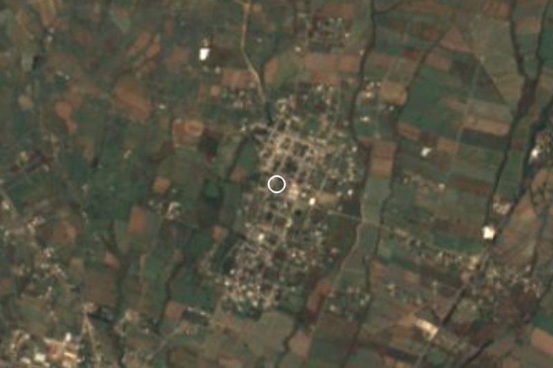
Ozumba de Alzate, the seat of Ozumba municipality, lies in the southeast of the State of Mexico on the lower slopes of Popocatépetl, at about 2,340 m. It had 18,580 residents in 2020. The Nahuatl name is usually read as "place of little caves". "De Alzate" was added in 1879, when the town became a villa, to honour José Antonio Alzate, born here in 1737, a scientist who observed the transit of Venus and was the only member from New Spain of the Paris Academy of Sciences. The state named it a Pueblo con Encanto in 2013, and it belongs to the Ruta de los Volcanes along with Chalco, Tlalmanalco and Amecameca.
The town runs on its market, probably pre-Hispanic in origin and recorded since the 17th century. On Tuesdays and Fridays buyers come from the southeast of the state, eastern Morelos, villages in Puebla and Mexico City; grain, seed and livestock are sold wholesale alongside clothes and food. In the rainy season older women sell dozens of kinds of wild mushrooms outside the market building, and the food stalls are all about barbacoa and moronga blood sausage.
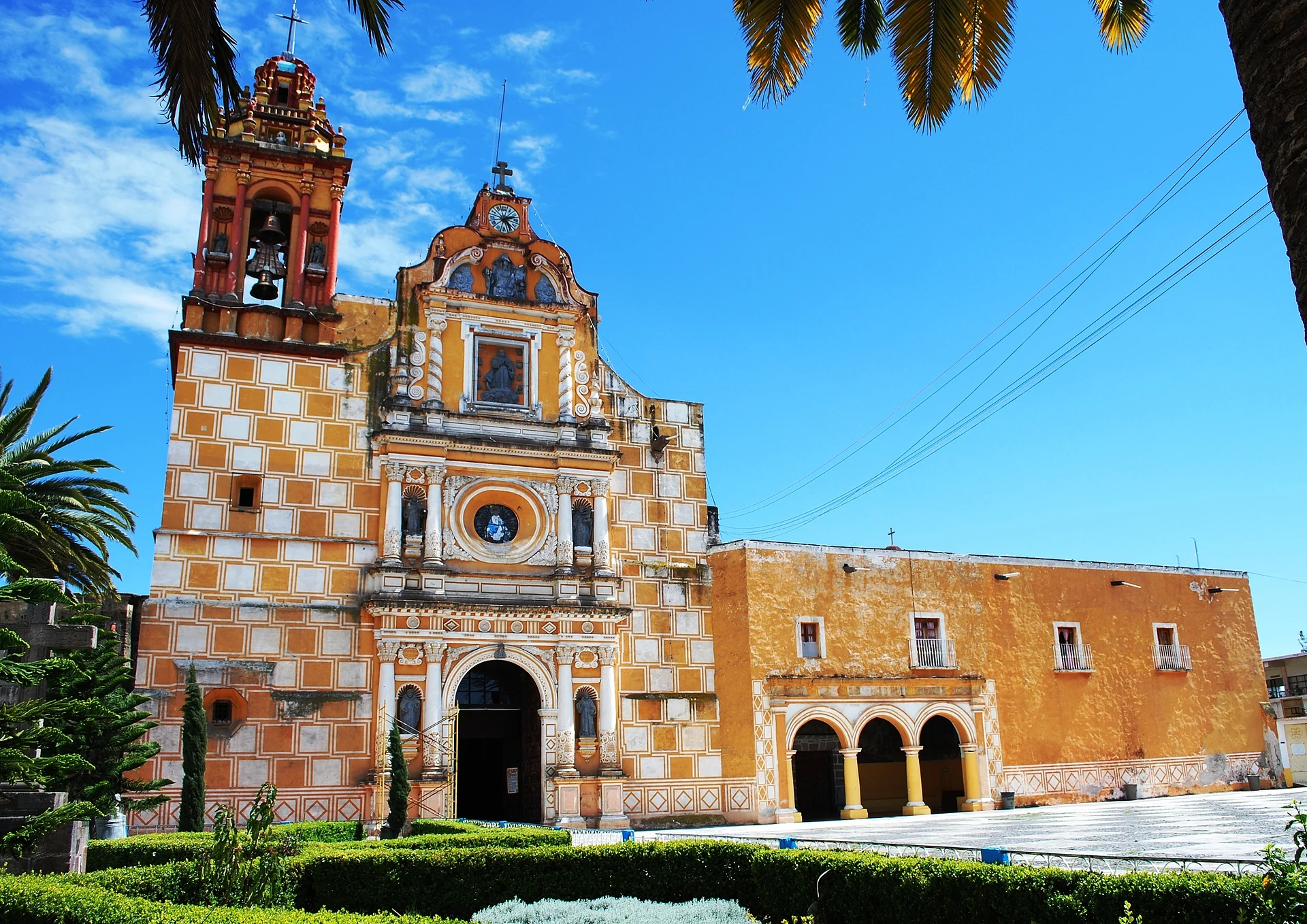
Across from the market stands the parish church of the Immaculate Conception, which began as a 16th-century Franciscan friary. Its porch and murals survive from that time: Cortés greeting the first twelve Franciscans, the child martyrs of Tlaxcala, and an unusual scene of the friars flogging Cortés. The church was rebuilt from 1696 and the tower dates from 1717; inside are gilded altarpieces with twisted Solomonic columns, paintings by Juan Correa and a high choir of carved wood, one of the few left in Mexico. Nearby are the chapel of San Francisco de Asís with an 18th-century altarpiece, the José Antonio Alzate cultural centre and the old Interoceanic Railway station of 1895.
Just south, in San Vicente Chimalhuacán, the former Dominican friary keeps the 1542 baptismal font where Sor Juana Inés de la Cruz was baptised, and the church of San Vicente Ferrer has a small museum of pre-Hispanic finds. The town's big feast is the Immaculate Conception, 7 to 13 December, with chinelo dancers, the Doce Pares de Francia, Aztec dancers and fireworks towers built by local pyrotechnicians.
How to get to Ozumba
Drive from Cuautla: 35 min, 32 km
Mexico City is about 65 km away, roughly an hour without traffic. Take Calzada Ignacio Zaragoza to the México–Puebla toll road (150D), and at the Chalco toll booth head south on Federal Highway 115 (México–Cuautla), which bypasses Tlalmanalco and Amecameca. The Ozumba turn-off comes about 12 km past Amecameca. The Chalco–Tepetlixpa road runs parallel and is an alternative.
From Cuautla it is about 35 km north on the same Highway 115, through Nepantla and Tepetlixpa, roughly 40 minutes. Tlayacapan, the nearest of our pueblos, is about 33 km away via Atlatlahucan and the 115, roughly 40 minutes.
By bus, Volcanes leaves the TAPO terminal (Metro San Lázaro) for Amecameca about every 20 minutes, a ride of around 1 hour 10 minutes; from Amecameca local transport covers the last 12 km or so. The same company also runs to Popo Park, further south, every 30 minutes.
Directions to Ozumba on Google Maps
Distances are in a straight line; the road is usually longer.
Links open a partner site. We may earn a commission if you book, at no cost to you.
From the nearest cities to Ozumba
- Cuautla · 32 km by road, 35 min
- Mexico City · 70 km by road, 1 h 10 min
- Cuernavaca · 79 km by road, 1 h 15 min
Drive times by road from OpenStreetMap, without traffic or stops. Times marked ~ are estimated from the straight-line distance.
Before you go to Ozumba: hours, prices and tips
- Hours
- Market on Tuesdays and Fridays, 6 am to 8 pm. Wikipedia: Municipio de Ozumba · checked Oct 2026
- Best time of day
- A Tuesday or Friday, to catch the market; in the rainy season wild mushrooms are sold outside the market building. Wikipedia: Ozumba · checked Oct 2026
- Best season
- The feast of the Immaculate Conception runs from 7 to 13 December, with the 8th, 9th and 12th the main days. Holy Week brings a live Passion play, and the Gremios festivities are held in August. Wikipedia: Municipio de Ozumba · checked Oct 2026
Hours and prices change, especially around holidays. Each fact links to where we checked it.
Visiting Ozumba: what to see and do
The Tuesday and Friday market, one of the biggest in the region.
The parish church of the Immaculate Conception and the Franciscan murals in its porch.
The church's carved wooden high choir and Baroque altarpieces.
The chapel of San Francisco de Asís on Avenida Alzate, with an 18th-century altarpiece.
The old Interoceanic Railway station, built in 1895.
The former Dominican friary at Chimalhuacán and the font where Sor Juana was baptised.
El Salto park, with a waterfall and caves, next to the Chimalhuacán friary.
Plan your trip
Places to stay in Ozumba
Compare hotels, posadas, and rentals in and around Ozumba.
Tours & activities
Day trips around Tlayacapan sometimes stop in Ozumba; a tour is the easy way to see it without a car.
Rental cars
Pick up a car at MEX (Mexico City): about 1 h 33 min by road to Tlayacapan, then 22 km more to Ozumba, on your own schedule.
Flights
The nearest airport with scheduled flights is Mexico City (MEX), about 1 h 33 min by road from Tlayacapan, the base for Ozumba.
Mobile data
Signal can drop away from Tlayacapan: download a map of the way to Ozumba before you set out, or carry an eSIM with data.
Links open a partner site. We may earn a commission if you book, at no cost to you.
When to go to Ozumba mild
Ozumba shares the climate of Tlayacapan, 22 km away. The best months to visit are January, February, March, and December.
See the month-by-month climate of Tlayacapan
Weather in Ozumba now and the next 7 days
Live forecast from Open-Meteo. Chance of rain is the day's highest.
The closest Pueblo Mágico: Tlayacapan

Tlayacapan is the Pueblo Mágico closest to Ozumba, with places to stay, food, and more to see.
Also close to
- Tepoztlán · Morelos · 33 km away
- Atlixco · Puebla · 41 km away
- Huejotzingo · Puebla · 43 km away
- Cholula · Puebla · 51 km away
- Tlaltizapán · Morelos · 53 km away
Closest to Ozumba
-
Atlautla de Victoria · Town · 2 km away
-
San Vicente Chimalhuacán · Village · 2 km away
-
San Diego Huehuecalco · Village · 7 km away
-
San Matías Cuijingo · Village · 8 km away
-
Amecameca de Juárez · Town · 10 km away
-
Ayapango de Gabriel Ramos Millán · Town · 10 km away
-
Parque Nacional Sacromonte · Nature reserve · 10 km away
-
Achichipico · Village · 11 km away

Near Ozumba


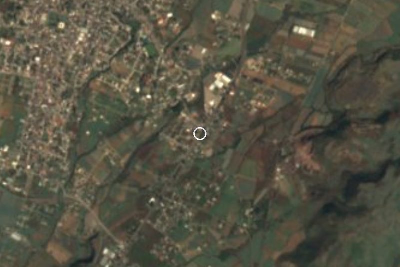



Drive times by road from OpenStreetMap, without traffic. Times marked ~ are estimated from the straight-line distance.
Location from OpenStreetMap. Written by Puebloteca.