
Town Atlautla, Estado de México Volcano Route
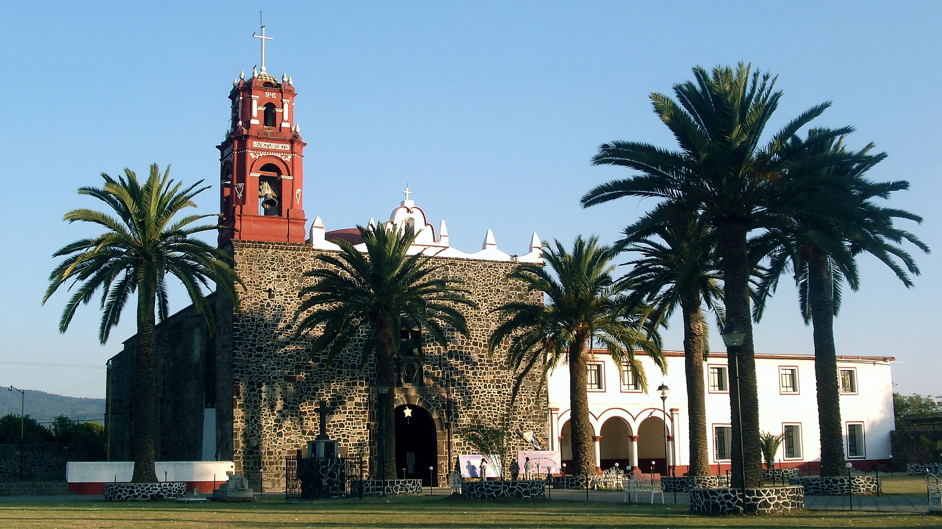
A farming town on the lower slopes of Popocatépetl, with a 16th-century parish of San Miguel and a 29 September feast where the archangel beats Lucifer.
From Cuautla: 40 min by car (34 km by road) How to get there ↓
Near here
See everything nearby ↓



Plan your visit to Atlautla de Victoria
Where to stay near Atlautla de Victoria
Compare hotels, posadas and guest houses in Atlautla de Victoria.
Tours to Atlautla de Victoria
Day trips around Tlayacapan sometimes stop in Atlautla de Victoria; a tour is the easy way to see it without a car.
 Tours from Atlixco
Atlixco Volcano Views Popocatépetl Tour Forest Route
From US$108
How to get to Atlautla de Victoria
- From Cuautla: about 40 min by road (~34 km)
- Nearest airport: Mexico City (MEX), 1 h 33 min by car to Tlayacapan
Links open a partner site. We may earn a commission if you book, at no cost to you.
Tours from Atlixco, near Atlautla de Victoria
Tours, prices and ratings from Viator, checked weekly. We may earn a commission if you book.
About Atlautla de Victoria
Atlautla de Victoria is the seat of Atlautla municipality, in the far southeastern corner of the State of Mexico, about 70 km from Mexico City. It had 12,477 residents in 2020 and sits at roughly 2,360 m. The whole municipality is made of the foothills of Popocatépetl, running from the volcano's summit, shared with Puebla and Morelos, down to the farmed valley floor where the town stands. The Nahuatl name comes from atlautli, ravine, and is read as "where ravines abound".
According to the federal municipal encyclopedia, the local chief Cuauhpoltécatl founded the town in 1551 as San Jacinto Atlauhtlan, gathering families scattered across the hills after the epidemics of the period. The dedication to Saint Michael came later, when an image of the archangel was brought from Atlixco. Around 1599 the place had just 35 tribute-payers and a church roofed with thatch. It answered to Amecameca and later to Ozumba until it became a municipality on 9 October 1874; "de Victoria" honours Guadalupe Victoria, Mexico's first president.
Under Porfirio Díaz two railways reached the area, the Interoceanic and the line from Mexico City to San Rafael and Atlixco, and an American known as Mr. Hall founded Popo Park, a colony of stone houses that included one built for the president; it lies within the municipality today. The earthquake of 19 September 2017 hit the town hard and damaged many buildings, though nobody died.
The parish church of San Miguel Arcángel dates from the 16th century, and its feast on 29 September is the event to aim for: chinelos, Aztec dancers, Moors and Christians, and a colonial-era play called "El pecado" in which Saint Michael fights Lucifer. May brings a capulín cherry fair, and in December neighbouring San Juan Tehuixtitlán, a village of bakers about 3 km away, holds a fair for its cocol bread. Higher up, Tepecoculco and Tlalamac grow avocados, and Tepecoculco keeps the remains of a pre-Hispanic pyramid. Feast-day food means mole with chicken, mutton barbacoa, fava-bean mole with nopales and tlacoyos.
How to get to Atlautla de Victoria
Drive from Cuautla: 40 min, 34 km
Mexico City is about 67 km away, a little over an hour without traffic. From the TAPO terminal take Calzada Ignacio Zaragoza to the México–Puebla toll road (150D); at the Chalco exit switch to Federal Highway 115, which skirts Tlalmanalco and Amecameca on bypasses. About 6 km past Amecameca, close to Ozumba, leave the 115 for the Atlautla bypass road; the last 4 km or so follow the bypass and Avenida Juárez into the centre.
By bus, Volcanes runs from the TAPO (Metro San Lázaro) to Popo Park, in the same municipality, about every 30 minutes, taking around 1 hour 20 minutes; you can also ride to Amecameca or Ozumba and finish by colectivo or taxi. Tlayacapan, the nearest of our pueblos, is about 35 km away on the 115 via Ozumba, roughly 40 minutes.
Directions to Atlautla de Victoria on Google Maps
Distances are in a straight line; the road is usually longer.
Links open a partner site. We may earn a commission if you book, at no cost to you.
From the nearest cities to Atlautla de Victoria
- Cuautla · 34 km by road, 40 min
- Mexico City · 72 km by road, 1 h 10 min
- Cuernavaca · 81 km by road, 1 h 15 min
Drive times by road from OpenStreetMap, without traffic or stops. Times marked ~ are estimated from the straight-line distance.
Before you go to Atlautla de Victoria: hours, prices and tips
- Best season
- The feast of San Miguel Arcángel is on 29 September, with dances and the play "El pecado". The capulín cherry fair is held in May and the cocol bread fair, in San Juan Tehuixtitlán, in December; Popo Park celebrates on 4 October. Enciclopedia de los Municipios de México (INAFED) · checked Oct 2026
Hours and prices change, especially around holidays. Each fact links to where we checked it.
Visiting Atlautla de Victoria: what to see and do
The 16th-century parish church of San Miguel Arcángel in the town centre.
The 29 September feast, with chinelos, Aztec dancers, Moors and Christians and the play "El pecado".
The cocol bread fair in San Juan Tehuixtitlán, about 3 km away, in December.
Popo Park, the Porfirian colony of stone houses with Porfirio Díaz's house.
The churches of San Juan Tepecoculco and San Andrés Tlalamac, among avocado orchards.
The remains of the pre-Hispanic pyramid at Tepecoculco.
Views of Popocatépetl, which rises over the whole municipality.
Plan your trip
Places to stay in Atlautla de Victoria
Compare hotels, posadas, and rentals in and around Atlautla de Victoria.
Tours & activities
Day trips around Tlayacapan sometimes stop in Atlautla de Victoria; a tour is the easy way to see it without a car.
Rental cars
Pick up a car at MEX (Mexico City): about 1 h 33 min by road to Tlayacapan, then 23 km more to Atlautla de Victoria, on your own schedule.
Flights
The nearest airport with scheduled flights is Mexico City (MEX), about 1 h 33 min by road from Tlayacapan, the base for Atlautla de Victoria.
Mobile data
Signal can drop away from Tlayacapan: download a map of the way to Atlautla de Victoria before you set out, or carry an eSIM with data.
Links open a partner site. We may earn a commission if you book, at no cost to you.
When to go to Atlautla de Victoria mild
Atlautla de Victoria shares the climate of Tlayacapan, 23 km away. The best months to visit are January, February, March, and December.
See the month-by-month climate of Tlayacapan
Weather in Atlautla de Victoria now and the next 7 days
Live forecast from Open-Meteo. Chance of rain is the day's highest.
The closest Pueblo Mágico: Tlayacapan

Tlayacapan is the Pueblo Mágico closest to Atlautla de Victoria, with places to stay, food, and more to see.
Also close to
- Tepoztlán · Morelos · 34 km away
- Atlixco · Puebla · 39 km away
- Huejotzingo · Puebla · 42 km away
- Cholula · Puebla · 50 km away
- Tlaltizapán · Morelos · 54 km away
Closest to Atlautla de Victoria
-
Ozumba · Town · 2 km away
-
San Vicente Chimalhuacán · Village · 2 km away
-
San Diego Huehuecalco · Village · 7 km away
-
Achichipico · Village · 10 km away
-
Huecahuasco · Village · 10 km away
-
San Matías Cuijingo · Village · 10 km away
-
Amecameca de Juárez · Town · 11 km away
-
Ayapango de Gabriel Ramos Millán · Town · 11 km away


Near Atlautla de Victoria



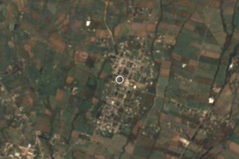
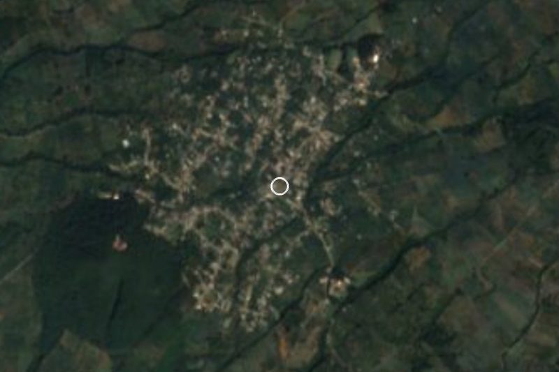


Drive times by road from OpenStreetMap, without traffic. Times marked ~ are estimated from the straight-line distance.
Location from OpenStreetMap. Written by Puebloteca.