
Village Jantetelco, Morelos Municipality of Jantetelco
Jantetelco's largest village, at 1,431 m on federal highway 160 east of Cuautla; its Nahuatl name refers to amate paper.
From Cuautla: 20 min by car (22 km by road) How to get there ↓
Near here
See everything nearby ↓


Plan your visit to Amayuca
Where to stay near Amayuca
Compare hotels, posadas and guest houses in Amayuca.
Tours to Amayuca
Day trips and guided outings from Tlayacapan often include Amayuca; with a local guide you can get there without a car.
 Tours from Atlixco
Atlixco Volcano Views Popocatépetl Tour Forest Route
From US$108
How to get to Amayuca
- From Cuautla: about 20 min by road (~22 km)
- Nearest airport: Mexico City (MEX), 1 h 33 min by car to Tlayacapan
Links open a partner site. We may earn a commission if you book, at no cost to you.
Tours from Atlixco, near Amayuca
Tours, prices and ratings from Viator, checked weekly. We may earn a commission if you book.
About Amayuca
In eastern Morelos, close to the Puebla border, Amayuca is the most populated locality in the municipality of Jantetelco: 5,854 people in the 2020 census, more than the municipal seat itself at 5,050. It stands at about 1,431 m on federal highway 160, the road that leaves Cuautla toward Puebla and Oaxaca, and it has grown along that road. In 1900 it had 1,189 residents and as late as 1960 only 1,829; by 1970 the census shows 5,296.
The name comes from Nahuatl amatl, the bark paper, and yocan, and is read as "place where amate paper is made". We found no source that tells its local history in detail. What INAH documents on the region do record is that the priest of Jantetelco looked after Amayuca, Chalcatzingo and Copalcuatitlán within the Cuernavaca diocese, and that Mariano Matamoros took over the Jantetelco parish in late 1807, before he joined the insurgency. Jantetelco marks the priest's uprising on 13 December.
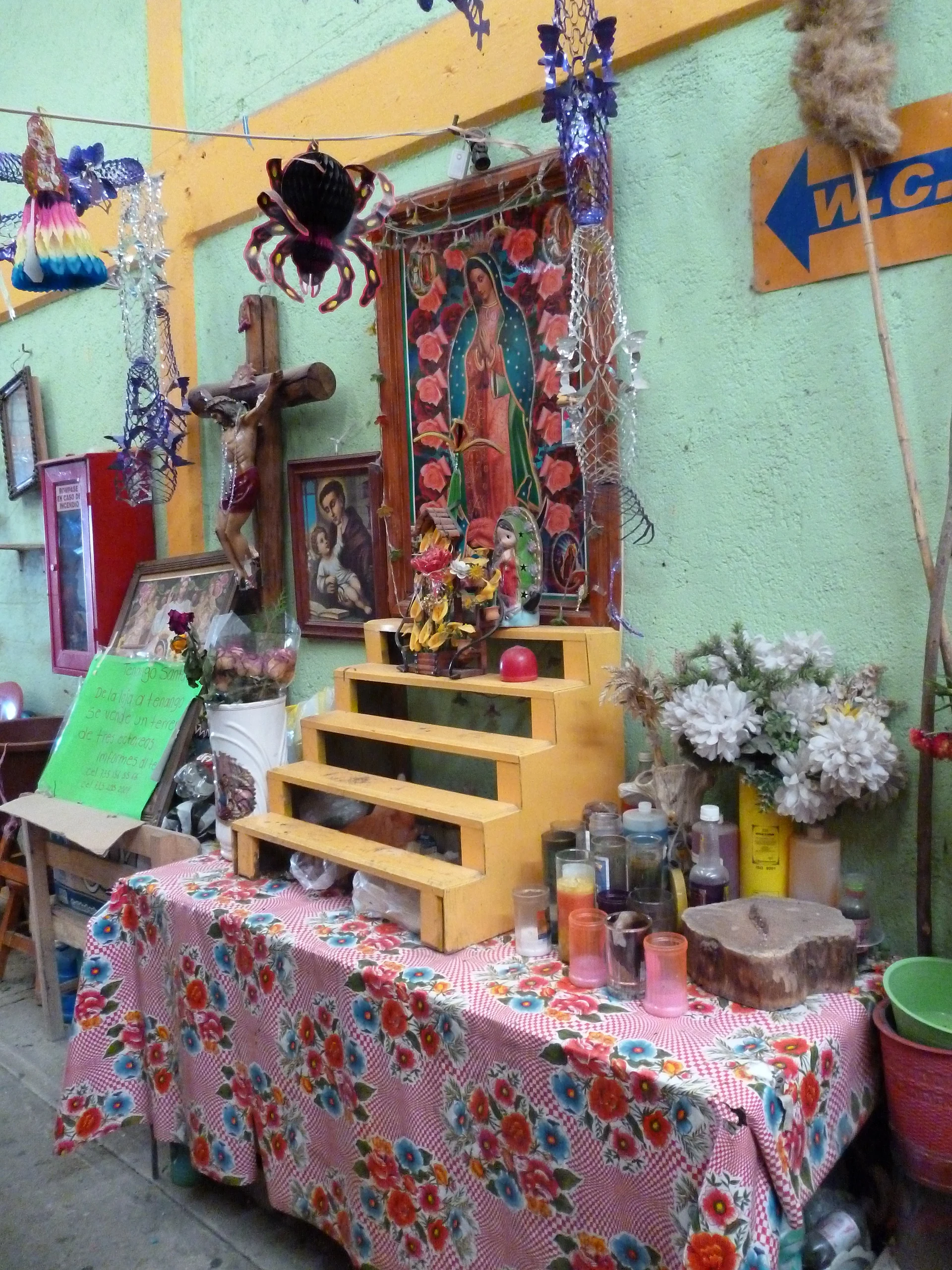
The municipality's climate is semi-dry and semi-warm, with about 988 mm of rain a year and a dry spell from late autumn to early spring. A state road links Amayuca with Jantetelco, and in that area is the cerro de la cantera, with remains attributed to the Olmec culture or one influenced by it (around 1000 BC). Neighbourhood altars to the Virgin of Guadalupe appear along the streets, like the one shown in the photo here.
How to get to Amayuca
Drive from Cuautla: 20 min, 22 km
Amayuca is on federal highway Mexico 160, which leaves Cuautla heading east toward Puebla and Oaxaca. From Cuautla it is about 19 to 20 km, roughly 20 to 25 minutes by car. Along the way MX-160 signs the exit to Amayuca (a sign marks three kilometres), and further on another exit leads to an unnumbered state road to Jantetelco and Jonacatepec. From Cuernavaca, take the Siglo XXI toll road (Mexico 115D) to Cuautla and continue on 160; from Mexico City the easiest way is a bus to Cuautla (they usually leave from TAPO) and then local transport toward Amayuca. We found no confirmed schedules or routes for combis or colectivos, so ask at the Cuautla bus station or market. Jantetelco is a short drive along the state road; Tlayacapan, the nearest pueblo in our guide, is some 32 km away in a straight line.
Directions to Amayuca on Google Maps
Distances are in a straight line; the road is usually longer.
Links open a partner site. We may earn a commission if you book, at no cost to you.
From the nearest cities to Amayuca
- Cuautla · 22 km by road, 20 min
- Atlixco · 53 km by road, 40 min
- Cuernavaca · 72 km by road, 1 h
Drive times by road from OpenStreetMap, without traffic or stops. Times marked ~ are estimated from the straight-line distance.
Visiting Amayuca: what to see and do
Walk the central streets and look for the neighbourhood altars to the Virgin of Guadalupe.
Take the state road to Jantetelco and see its San Pedro church, with a courtyard of parota trees.
Climb the cerro de la cantera in the municipality, with remains of Olmec influence.
On 13 December, stop in Jantetelco for the civic feast honouring Father Matamoros.
Plan your trip
Places to stay in Amayuca
Compare hotels, posadas, and rentals in and around Amayuca.
Tours & activities
Day trips and guided outings from Tlayacapan often include Amayuca; with a local guide you can get there without a car.
Rental cars
Pick up a car at MEX (Mexico City): about 1 h 33 min by road to Tlayacapan, then 32 km more to Amayuca, on your own schedule.
Flights
The nearest airport with scheduled flights is Mexico City (MEX), about 1 h 33 min by road from Tlayacapan, the base for Amayuca.
Mobile data
Signal can drop away from Tlayacapan: download a map of the way to Amayuca before you set out, or carry an eSIM with data.
Links open a partner site. We may earn a commission if you book, at no cost to you.
When to go to Amayuca mild
Amayuca shares the climate of Tlayacapan, 32 km away. The best months to visit are January, February, March, and December.
See the month-by-month climate of Tlayacapan
Weather in Amayuca now and the next 7 days
Live forecast from Open-Meteo. Chance of rain is the day's highest.
The closest Pueblo Mágico: Tlayacapan

Tlayacapan is the Pueblo Mágico closest to Amayuca, with places to stay, food, and more to see.
Also close to
- Tlaltizapán · Morelos · 37 km away
- Tepoztlán · Morelos · 43 km away
- Atlixco · Puebla · 44 km away
- Xochitepec · Morelos · 54 km away
- Huejotzingo · Puebla · 63 km away
Closest to Amayuca
-
Balneario Acueducto · Hot springs · 2 km away
-
Jantetelco · Village · 2 km away
-
Amacuitlapilco · Village · 3 km away
-
Amilcingo · Village · 4 km away
-
Chalcatzingo · Archaeological site · 4 km away
-
Huazulco · Village · 4 km away
-
Zona Arqueológica Las Pilas · Archaeological site · 4 km away
-
El Chumil · Mountain · 5 km away


Near Amayuca


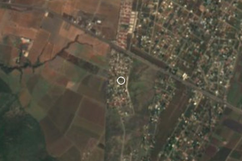
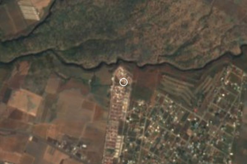
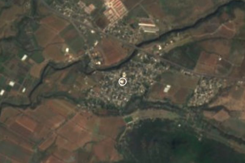


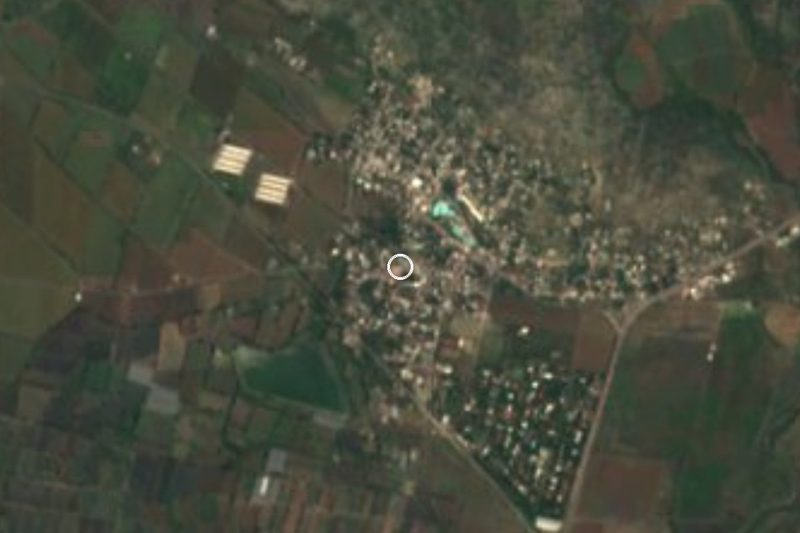
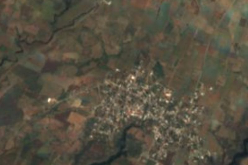


Drive times by road from OpenStreetMap, without traffic. Times marked ~ are estimated from the straight-line distance.
Location from OpenStreetMap. Written by Puebloteca.