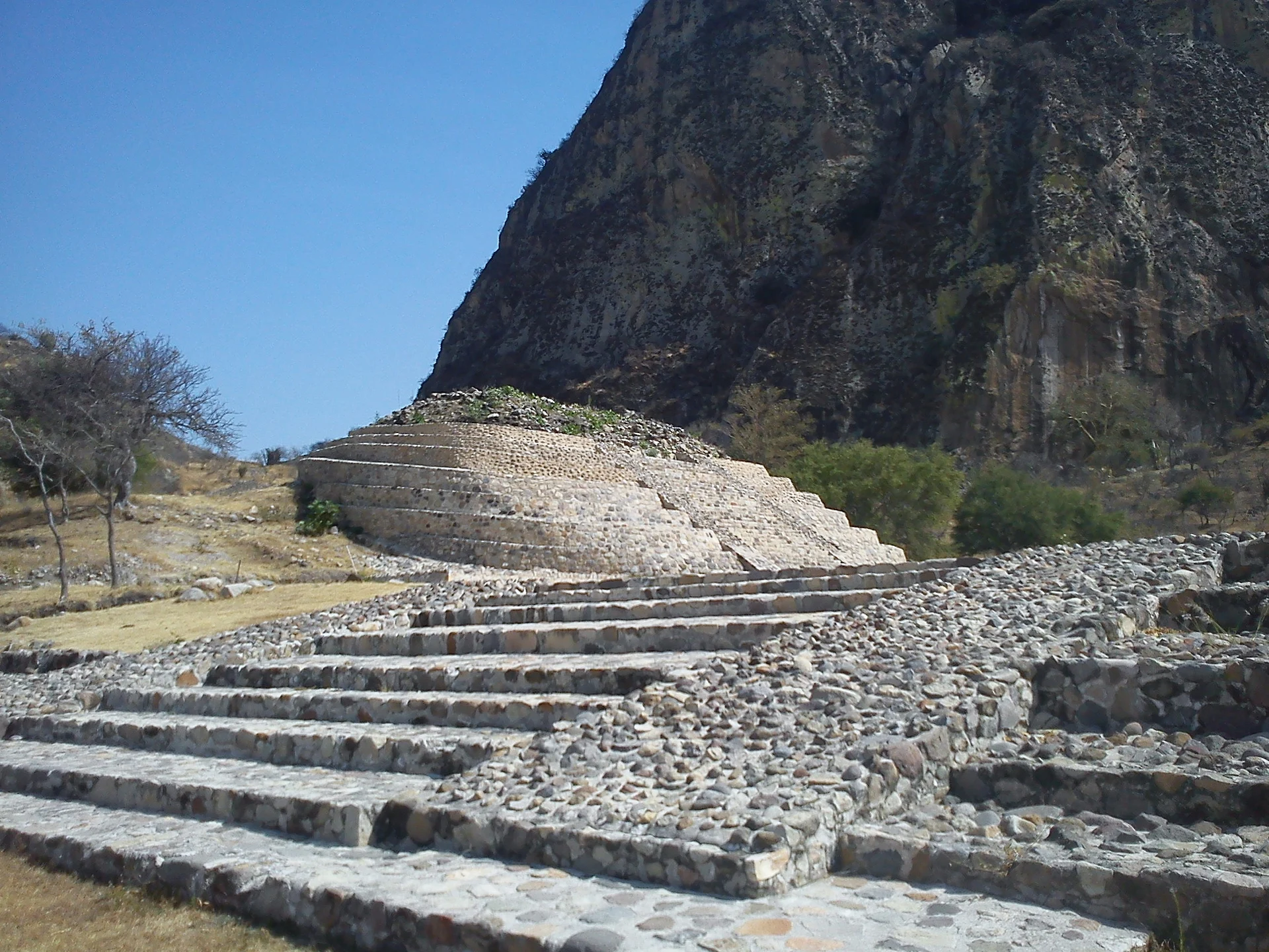
Archaeological site Jantetelco, Morelos Municipality of Jantetelco
Preclassic site at the foot of two rock massifs in eastern Morelos, famous for Olmec-style reliefs such as El Rey, the seated figure in a cave.
From Cuautla: 25 min by car (29 km by road) How to get there ↓
Near here
See everything nearby ↓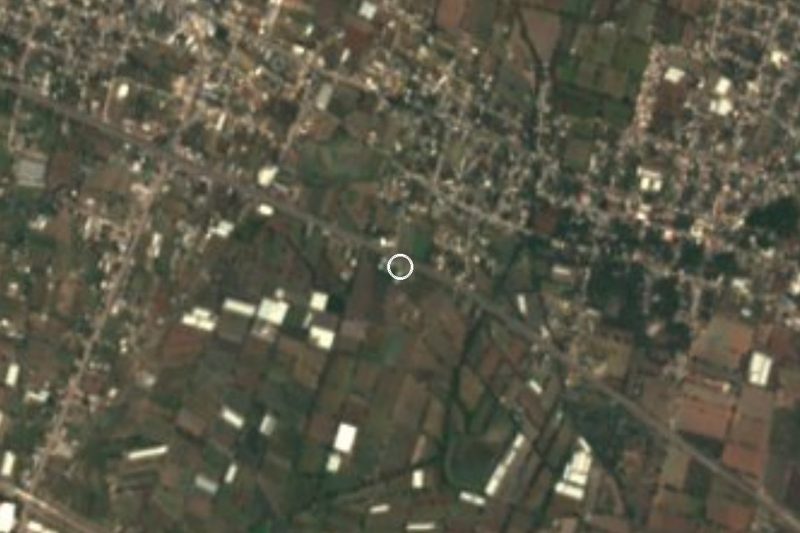


Plan your visit to Chalcatzingo
Where to stay near Chalcatzingo
Compare hotels, posadas and guest houses in Chalcatzingo.
Tours to Chalcatzingo
A guide brings Chalcatzingo to life: look for tours from Tlayacapan that include the site and the ride there.
 Tours from Atlixco
Atlixco Volcano Views Popocatépetl Tour Forest Route
From US$108
How to get to Chalcatzingo
- From Cuautla: about 25 min by road (~29 km)
- Nearest airport: Mexico City (MEX), 1 h 33 min by car to Tlayacapan
Links open a partner site. We may earn a commission if you book, at no cost to you.
Tours from Atlixco, near Chalcatzingo
Tours, prices and ratings from Viator, checked weekly. We may earn a commission if you book.
About Chalcatzingo
Two bare rock massifs, Cerro Delgado and Cerro Ancho (also called Chalcatzingo), rise abruptly from the valley floor of eastern Morelos, and at their feet lies one of the oldest archaeological sites in the Central Highlands. It belongs to the municipality of Jantetelco and is run by INAH; since 2002 it has been protected as an archaeological petroglyph zone.
People lived here very early: rock shelters on Cerro Delgado hold paintings dated to around 3000 BC. A village took shape by about the 15th century BC and reached its height in the Middle Preclassic, between the 7th and 5th centuries BC, when 500 to 1,000 people lived around a ceremonial centre of some 40 hectares. In Mesoamerican belief the two hills were sacred mountains, which goes a long way to explaining the choice of site.
Chalcatzingo is known above all for its reliefs, carved on the near-vertical rock faces at the base of the hill in a style that points to the Olmecs of the Gulf Coast. The most famous is El Rey, or the Water Bearer: a life-size seated figure inside a cave shaped like a jaguar's open jaws, part of a group of carvings about rain and fertility. Others show felines attacking people, a creature resembling a feathered serpent, and the Estela de la Reina, thought to be the earliest depiction of a woman in Mesoamerican monumental art. Eulalia Guzmán made the first explorations in 1934, after a storm exposed El Rey, and from 1972 a University of Illinois and INAH project led by David Grove catalogued the monuments.
On the flat ground below are Terrace 1, where the ruling families lived, Terrace 25 with its sunken patio, and Structure 4, a platform about 70 m on each side that held high-status burials. Recent excavations have also uncovered a later central group from the Classic to Early Postclassic (AD 200-1200), with a ball court and two pyramid platforms on either side of a small plaza. The modern village of Chalcatzingo has an 18th-century church dedicated to San Mateo.
How to get to Chalcatzingo
Drive from Cuautla: 25 min, 29 km
From Cuautla take Federal Highway 160 towards Izúcar de Matamoros. INAH's directions are to continue to the Huayapan-Axochiapan (Amayuca) junction and turn there towards the Santa Clara Montefalco hacienda, which leads to the village of Chalcatzingo; the site is on the Camino a las Ruinas at the edge of the village. It is about 30 minutes from Cuautla. From Cuernavaca, take Federal 138 to Cuautla and continue on the 160. From Mexico City, Pullman de Morelos runs hourly from the Terminal del Sur (Taxqueña) to Cuautla; from there take a microbus to Jonacatepec, then a combi or taxi on to Chalcatzingo. Tlayacapan, the nearest Pueblo Mágico, is about 37 km away in a straight line; Jonacatepec and the Las Pilas site are a few kilometres off.
Directions to Chalcatzingo on Google Maps
Distances are in a straight line; the road is usually longer.
Links open a partner site. We may earn a commission if you book, at no cost to you.
From the nearest cities to Chalcatzingo
- Cuautla · 29 km by road, 25 min
- Atlixco · 54 km by road, 40 min
- Cuernavaca · 78 km by road, 1 h 5 min
Drive times by road from OpenStreetMap, without traffic or stops. Times marked ~ are estimated from the straight-line distance.
Before you go to Chalcatzingo: hours, prices and tips
- Hours
- Monday to Sunday, 9:00 to 18:00; last entry 17:00. INAH · checked Oct 2026
- Entry
- 80 pesos for Mexican visitors and 145 for foreigners. Free on Sundays for Mexicans, and free for under-13s, students, teachers and seniors. INAH · checked Oct 2026
- Guide or tour
- Guided visits must be requested from INAH in advance. Tours: Viator GetYourGuide INAH · checked Oct 2026
- Rules
- No smoking, no food and no pets. INAH · checked Oct 2026
Hours and prices change, especially around holidays. Each fact links to where we checked it.
Visiting Chalcatzingo: what to see and do
Walk up the hillside to El Rey, the relief of the seated figure in the cave.
Look along the way for the other carvings: felines, a serpent, and rain and fertility scenes.
Cross Terrace 1 and Structure 4, the largest platform on the site.
See the sunken patio and altar of Terrace 25.
Visit the ball court and platforms of the later central group.
On the way out, stop at the 18th-century church of San Mateo in the village.
Plan your trip
Places to stay in Chalcatzingo
Compare hotels, posadas, and rentals in and around Chalcatzingo.
Tours & activities
A guide brings Chalcatzingo to life: look for tours from Tlayacapan that include the site and the ride there.
Rental cars
Pick up a car at MEX (Mexico City): about 1 h 33 min by road to Tlayacapan, then 37 km more to Chalcatzingo, on your own schedule.
Flights
The nearest airport with scheduled flights is Mexico City (MEX), about 1 h 33 min by road from Tlayacapan, the base for Chalcatzingo.
Mobile data
Signal can drop away from Tlayacapan: download a map of the way to Chalcatzingo before you set out, or carry an eSIM with data.
Links open a partner site. We may earn a commission if you book, at no cost to you.
When to go to Chalcatzingo mild
Chalcatzingo shares the climate of Tlayacapan, 37 km away. The best months to visit are January, February, March, and December.
See the month-by-month climate of Tlayacapan
Weather in Chalcatzingo now and the next 7 days
Live forecast from Open-Meteo. Chance of rain is the day's highest.
The closest Pueblo Mágico: Tlayacapan

Tlayacapan is the Pueblo Mágico closest to Chalcatzingo, with places to stay, food, and more to see.
Also close to
- Tlaltizapán · Morelos · 39 km away
- Atlixco · Puebla · 44 km away
- Tepoztlán · Morelos · 47 km away
- Xochitepec · Morelos · 57 km away
- Cholula · Puebla · 64 km away
Closest to Chalcatzingo
-
Balneario Acueducto · Hot springs · 3 km away
-
El Chumil · Mountain · 3 km away
-
Jantetelco · Village · 3 km away
-
Jonacatepec · Town · 3 km away
-
Zona Arqueológica Las Pilas · Archaeological site · 3 km away
-
Amacuitlapilco · Village · 4 km away
-
Amayuca · Village · 4 km away
-
Amilcingo · Village · 6 km away


Near Chalcatzingo


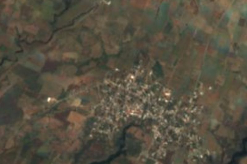


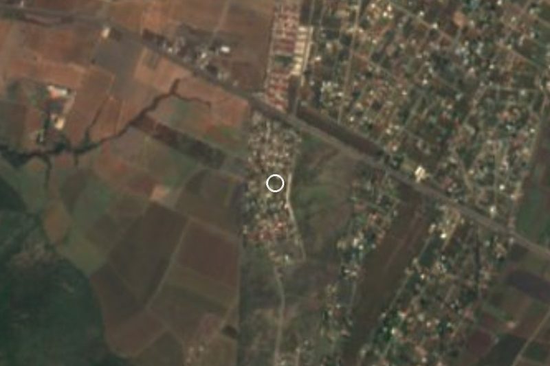
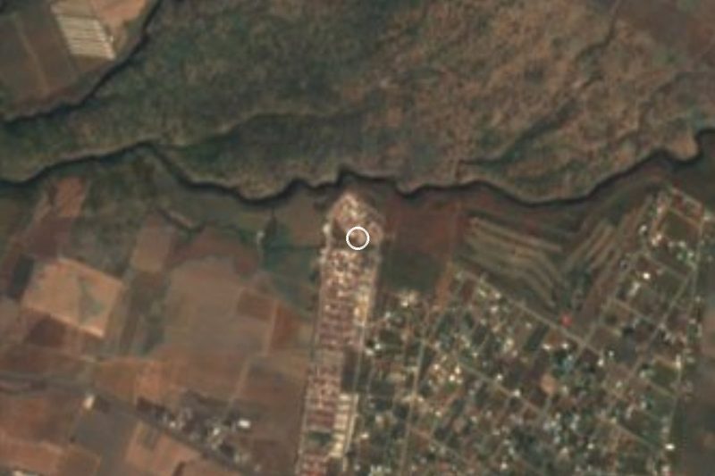
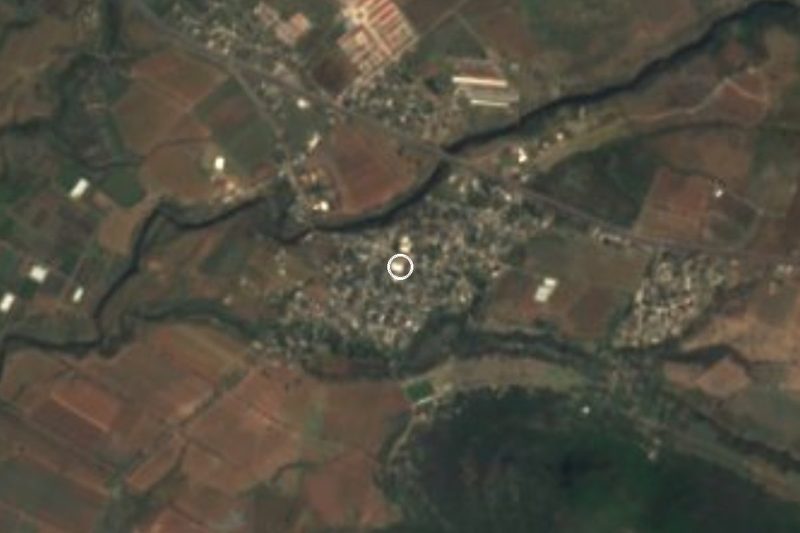
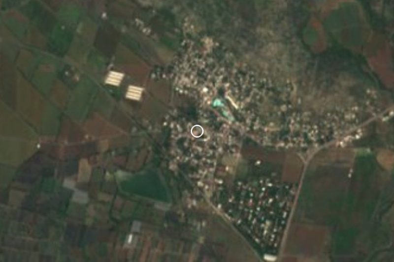


Drive times by road from OpenStreetMap, without traffic. Times marked ~ are estimated from the straight-line distance.
Lists with Chalcatzingo
Ruins in Morelos · 9 Ruins near Cuautla · 12 Ruins near Tlayacapan · 17 Ruins near Atlixco · 11 Ruins near Tepoztlán · 19 Ruins near Cuernavaca · 17 Ruins near Xochitepec · 12Location from OpenStreetMap. Written by Puebloteca.