
Village Jantetelco, Morelos Municipality of Jantetelco
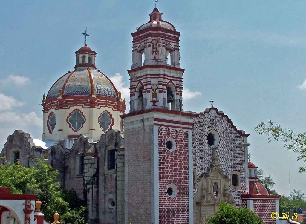
Sugar-cane village in Jantetelco at 1,177 m, with its Santa Ana chapel and a former sugar hacienda founded in 1590.
From Cuautla: 35 min by car (37 km by road) How to get there ↓
Near here
See everything nearby ↓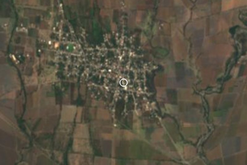


Plan your visit to Tenango
Where to stay near Tenango
Compare hotels, posadas and guest houses in Tenango.
Tours to Tenango
Day trips and guided outings from Tlaltizapán often include Tenango; with a local guide you can get there without a car.
How to get to Tenango
- From Cuautla: about 35 min by road (~37 km)
- Nearest airport: Mexico City (MEX), 1 h 55 min by car to Tlaltizapán
Links open a partner site. We may earn a commission if you book, at no cost to you.
About Tenango
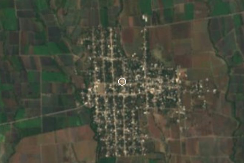
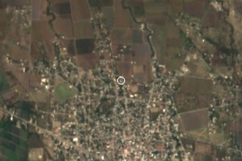
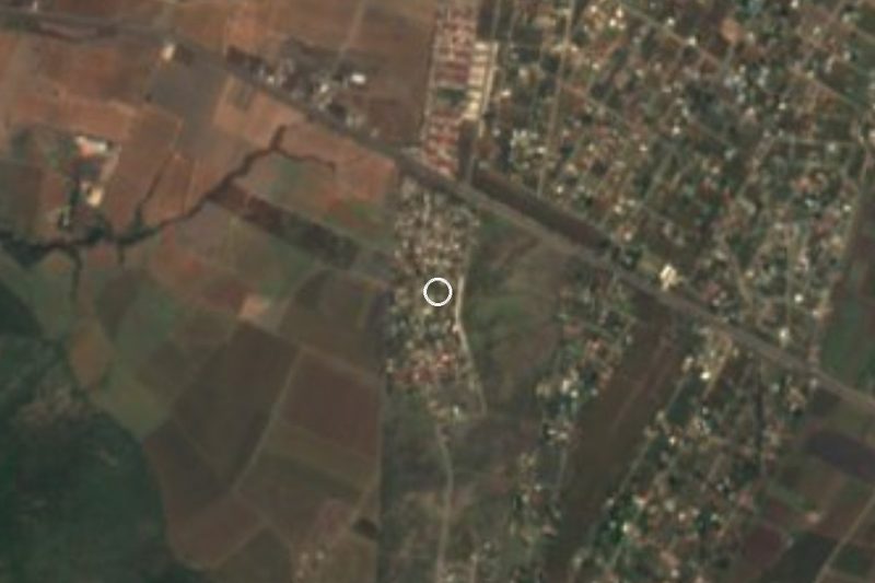
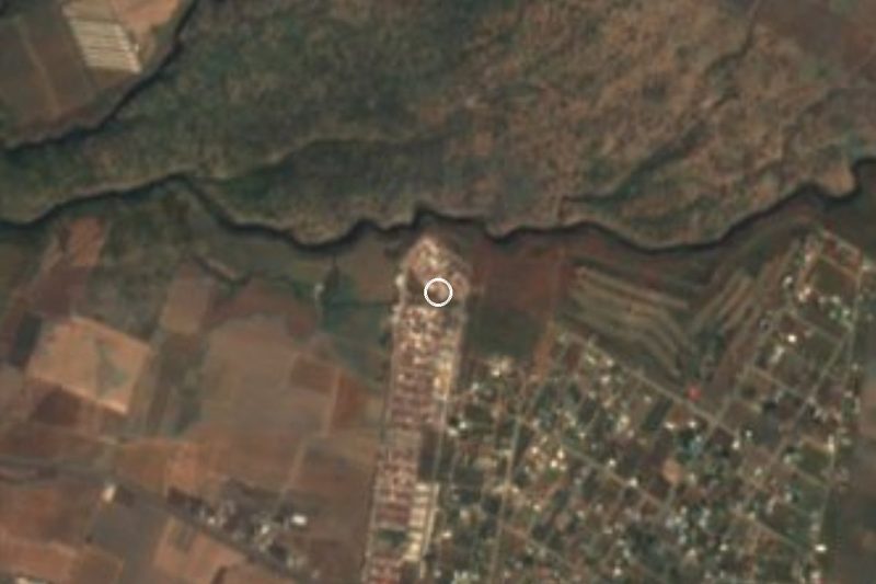
The name Tenango comes from Nahuatl tenamitl, "wall", plus the locative co, roughly "place enclosed by a wall". It sits in the municipality of Jantetelco, in eastern Morelos, at about 1,170 m above sea level, among fields of sugar cane, sorghum and maize, with some cattle raising. It is also listed as Tenango (Santa Ana) after its patron saint, honoured on 26 July.
The census tells its recent story. In 1900 it had 894 inhabitants and by 1921, after the Revolution, only 267. Since then it has grown almost without a pause: 1,027 in 1970, 1,715 in 1990 and 1,945 in 2020. Much of that history is tied to the Hacienda de Santa Ana de Tenango, which began in 1590 as a modest sugar mill and grew into the largest sugar estate in Morelos, at some 38,000 hectares. In the Porfiriato it gained an irrigation canal from Cuautla, rail lines for the cane and a dynamo for electricity. Revolutionaries burned and dynamited it in 1914, and it burned for eight days. In 1949 the Bernal García Pimentel family rebuilt it, and it is now one of the better preserved ex-haciendas in the state.
The chapel, from the 1700s, is Puebla baroque with a talavera-tiled dome, and serves as the village church. The surroundings are quiet farmland: there are no hotels in the village itself, and the nearest are about 12 to 14 km away.
How to get to Tenango
Drive from Cuautla: 35 min, 37 km
Tenango is in eastern Morelos, about 13 km northeast of Jantetelco, the municipal seat, which Wikipedia places roughly 130 km from Mexico City and 80 km from Puebla (approximate distances). From Cuautla, the nearest city with bus service, take the federal Cuautla-Izúcar de Matamoros road and then the turn to Tenango; allow about 45 minutes to an hour by car, depending on traffic and road condition. From Mexico City, Volcanes runs buses from TAPO to Cuautla and Pullman de Morelos runs them from Terminal Sur (Taxqueña); from Cuautla you continue by local transport or car. We found no direct service with a documented operator or schedule, so ask at the Cuautla terminal about vans to Jantetelco. Residents report poor local roads and scarce public transport, so driving is the practical way in.
Directions to Tenango on Google Maps
Distances are in a straight line; the road is usually longer.
Links open a partner site. We may earn a commission if you book, at no cost to you.
From the nearest cities to Tenango
- Cuautla · 37 km by road, 35 min
- Atlixco · 63 km by road, 50 min
- Cuernavaca · 87 km by road, 1 h 10 min
Drive times by road from OpenStreetMap, without traffic or stops. Times marked ~ are estimated from the straight-line distance.
Visiting Tenango: what to see and do
Step into the Santa Ana chapel, Puebla baroque, with its talavera-tiled dome.
Walk the walls and gardens of the former Hacienda de Santa Ana de Tenango, with Popocatépetl behind on clear days.
Picture the sugar mill that burned for eight days in 1914.
Walk between the cane fields and the sorghum and maize plots around the village.
Come on 26 July for the feast of Santa Ana.
Drop by Jantetelco, about 13 km away, to see Mariano Matamoros's room turned into a museum.
Plan your trip
Places to stay in Tenango
Compare hotels, posadas, and rentals in and around Tenango.
Tours & activities
Day trips and guided outings from Tlaltizapán often include Tenango; with a local guide you can get there without a car.
Rental cars
Pick up a car at MEX (Mexico City): about 1 h 55 min by road to Tlaltizapán, then 42 km more to Tenango, on your own schedule.
Flights
The nearest airport with scheduled flights is Mexico City (MEX), about 1 h 55 min by road from Tlaltizapán, the base for Tenango.
Mobile data
Signal can drop away from Tlaltizapán: download a map of the way to Tenango before you set out, or carry an eSIM with data.
Links open a partner site. We may earn a commission if you book, at no cost to you.
When to go to Tenango warm
Tenango shares the climate of Tlaltizapán, 42 km away. The best months to visit are January, October, November, and December.
See the month-by-month climate of Tlaltizapán
Weather in Tenango now and the next 7 days
Live forecast from Open-Meteo. Chance of rain is the day's highest.
The closest Pueblo Mágico: Tlaltizapán

Tlaltizapán is the Pueblo Mágico closest to Tenango, with places to stay, food, and more to see.
Also close to
- Tlayacapan · Morelos · 45 km away
- Atlixco · Puebla · 47 km away
- Tepoztlán · Morelos · 55 km away
- Xochitepec · Morelos · 62 km away
- Cholula · Puebla · 68 km away
Closest to Tenango
-
Tetelilla · Village · 2 km away
-
Marcelino Rodríguez · Village · 4 km away
-
La Nopalera · Village · 5 km away
-
Telixtac · Village · 7 km away
-
Tepexco · Village · 7 km away
-
Chalcatzingo · Archaeological site · 8 km away
-
Atlacahualoya · Village · 9 km away
-
Atotonilco · Village · 9 km away
Near Tenango




Drive times by road from OpenStreetMap, without traffic. Times marked ~ are estimated from the straight-line distance.
Location from OpenStreetMap. Written by Puebloteca.