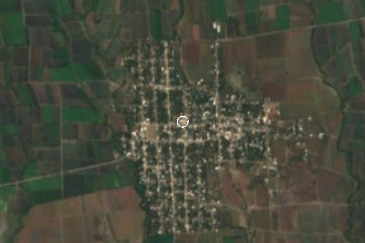
Village Axochiapan, Morelos Municipality of Axochiapan
Clay-pottery village in Axochiapan, southern Morelos; the municipality's second-largest locality, with a 16th-century church to Mary Magdalene.
From Cuautla: 45 min by car (48 km by road) How to get there ↓
Near here
See everything nearby ↓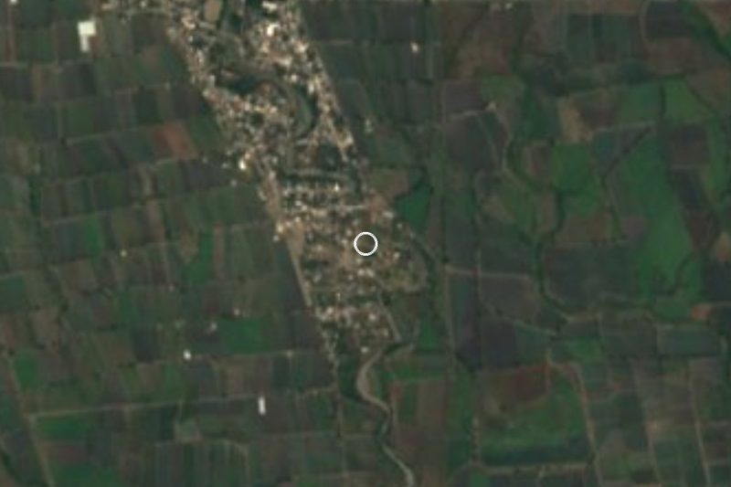
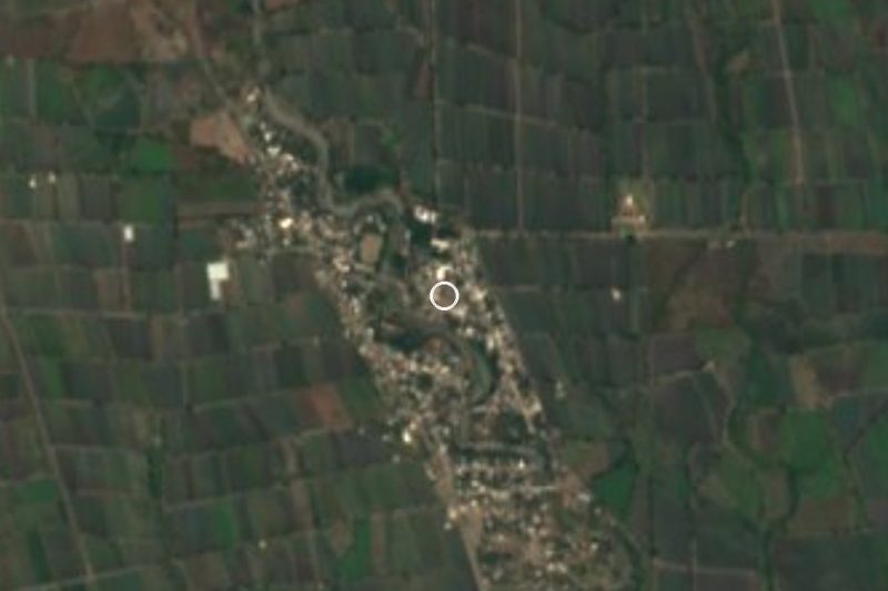

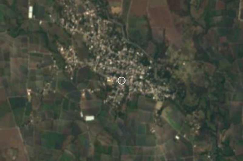
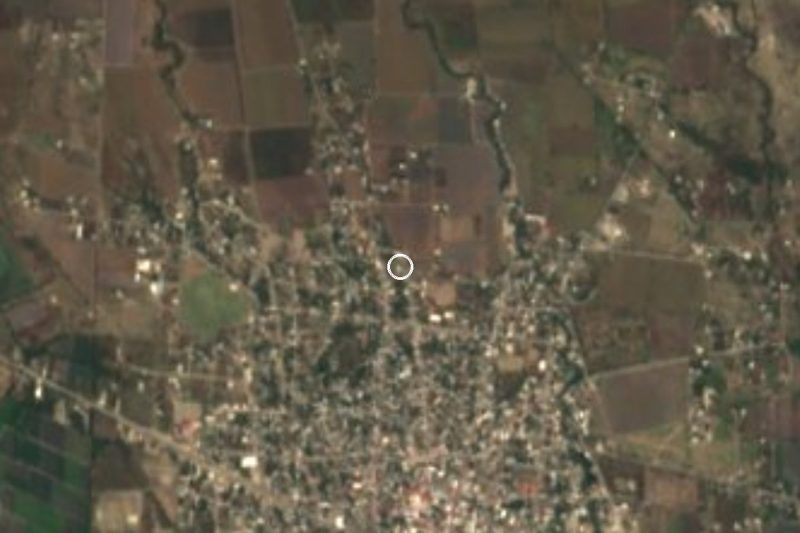
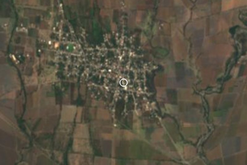
Plan your visit to Telixtac
Where to stay near Telixtac
Compare hotels, posadas and guest houses in Telixtac.
Tours to Telixtac
Day trips and guided outings from Tlaltizapán often include Telixtac; with a local guide you can get there without a car.
How to get to Telixtac
- From Cuautla: about 45 min by road (~48 km)
- Nearest airport: Mexico City (MEX), 1 h 55 min by car to Tlaltizapán
Links open a partner site. We may earn a commission if you book, at no cost to you.
About Telixtac
The name Telixtac comes from Nahuatl tetl, stone, and iztac, white: 'at the white stones'. It sits in the municipality of Axochiapan, in eastern Morelos, at about 1,090 m above sea level, and is the municipality's second-largest locality after the seat itself: the 2020 census counted 5,534 people, up from 4,554 in 2010 and 4,203 in 2005.
Spanish Wikipedia credits it with a church to Mary Magdalene built in the 16th century, plus a second church dedicated to Jesus. The patron saint's day is 22 July, and another religious celebration falls on the first Friday of Lent. The village is known for fired-clay pottery: water jars, cooking pots, water filters and decorated comales (tortilla griddles).
The climate is hot and semi-arid, with a mean annual temperature near 23.5 °C, April the warmest month and roughly 1,030 mm of rain a year, nearly all of it in summer. A few hundred metres away is Campo Jicamal, a hamlet of some 183 people, and about 4 km off lie Marcelino Rodríguez (San Ignacio) and Quebrantadero, each with more than 2,000 residents.
Telixtac has a state health-ministry clinic but no hotels; anyone staying overnight does so in Axochiapan or Jonacatepec. We found no published opening hours or fees for the church or for pottery workshops, so ask on the spot.
How to get to Telixtac
Drive from Cuautla: 45 min, 48 km
Telixtac lies about 6.7 km straight-line north of Axochiapan, the municipal seat, and a road links the two; federal highways connect Axochiapan with Cuautla and Izúcar de Matamoros. From Mexico City the simplest plan is to reach Cuautla first (about 35 km straight-line from Telixtac) and continue south through Jonacatepec to Axochiapan. A route planner lists direct buses from Jonacatepec to TAPO in about 3 h 20 min and hourly Cuautla to Jonacatepec departures of about 40 min; those are aggregator figures, so check at the terminal. We found no published service all the way to Telixtac: from Axochiapan, a taxi or local combi is the usual way. By car, allow about 1 h 15 min from Cuautla (our own estimate).
Directions to Telixtac on Google Maps
Distances are in a straight line; the road is usually longer.
Links open a partner site. We may earn a commission if you book, at no cost to you.
From the nearest cities to Telixtac
- Cuautla · 48 km by road, 45 min
- Atlixco · 73 km by road, 1 h 5 min
- Cuernavaca · 98 km by road, 1 h 25 min
Drive times by road from OpenStreetMap, without traffic or stops. Times marked ~ are estimated from the straight-line distance.
Before you go to Telixtac: hours, prices and tips
- Best season
- Patron saint's day: 22 July. Another religious celebration on the first Friday of Lent. es.wikipedia.org · checked Oct 2026
Hours and prices change, especially around holidays. Each fact links to where we checked it.
Visiting Telixtac: what to see and do
Visit the 16th-century church of Mary Magdalene.
Look for fired-clay pieces: pots, water jars, filters and comales.
Come on 22 July, the patron saint's day.
Walk the village streets.
Ask about the first-Friday-of-Lent celebration.
Plan your trip
Places to stay in Telixtac
Compare hotels, posadas, and rentals in and around Telixtac.
Tours & activities
Day trips and guided outings from Tlaltizapán often include Telixtac; with a local guide you can get there without a car.
Rental cars
Pick up a car at MEX (Mexico City): about 1 h 55 min by road to Tlaltizapán, then 41 km more to Telixtac, on your own schedule.
Flights
The nearest airport with scheduled flights is Mexico City (MEX), about 1 h 55 min by road from Tlaltizapán, the base for Telixtac.
Mobile data
Signal can drop away from Tlaltizapán: download a map of the way to Telixtac before you set out, or carry an eSIM with data.
Links open a partner site. We may earn a commission if you book, at no cost to you.
When to go to Telixtac warm
Telixtac shares the climate of Tlaltizapán, 41 km away. The best months to visit are January, October, November, and December.
See the month-by-month climate of Tlaltizapán
Weather in Telixtac now and the next 7 days
Live forecast from Open-Meteo. Chance of rain is the day's highest.
The closest Pueblo Mágico: Tlaltizapán

Tlaltizapán is the Pueblo Mágico closest to Telixtac, with places to stay, food, and more to see.
Also close to
- Tlayacapan · Morelos · 49 km away
- Atlixco · Puebla · 54 km away
- Tepoztlán · Morelos · 58 km away
- Xochitepec · Morelos · 62 km away
- Cholula · Puebla · 74 km away
Closest to Telixtac
-
La Nopalera · Village · 4 km away
-
Marcelino Rodríguez · Village · 4 km away
-
Quebrantadero · Village · 4 km away
-
Atlacahualoya · Village · 5 km away
-
Cuauhtémoc · Village · 6 km away
-
Tetelilla · Village · 6 km away
-
Axochiapan · Village · 7 km away
-
Ixtlilco el Chico · Village · 7 km away

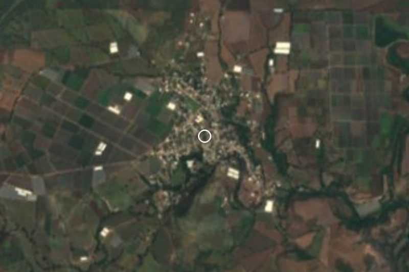
Near Telixtac


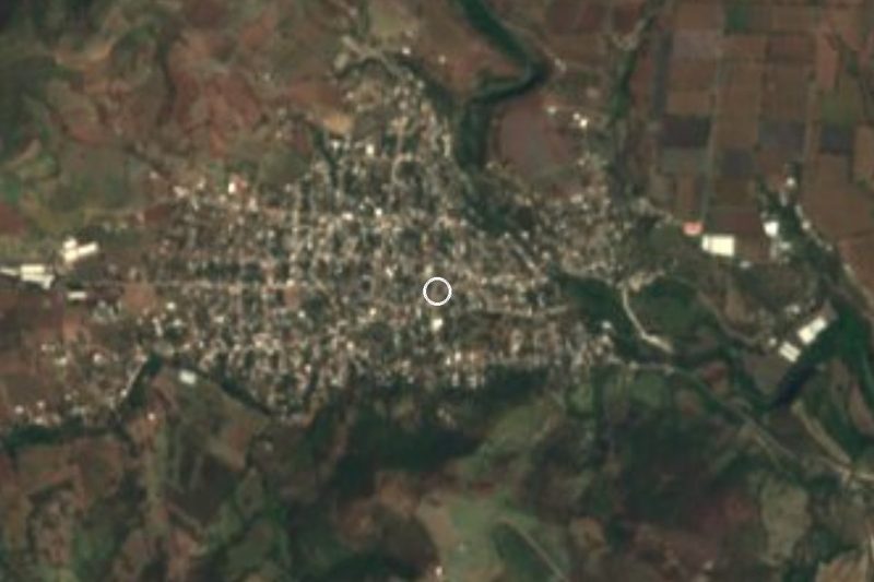
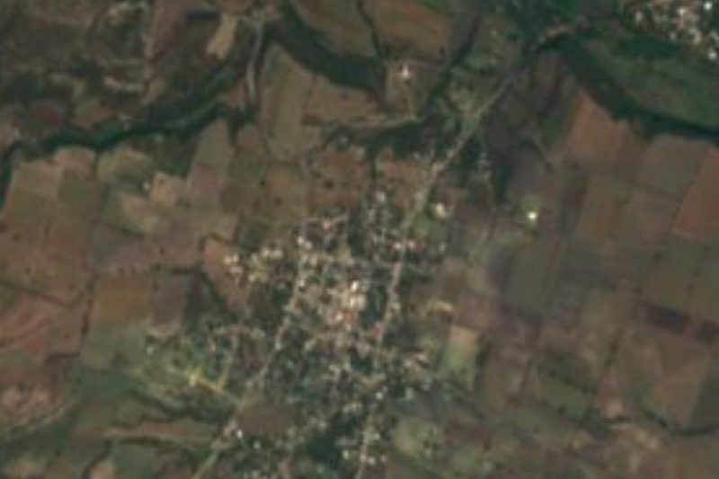




Drive times by road from OpenStreetMap, without traffic. Times marked ~ are estimated from the straight-line distance.
Location from OpenStreetMap. Written by Puebloteca.