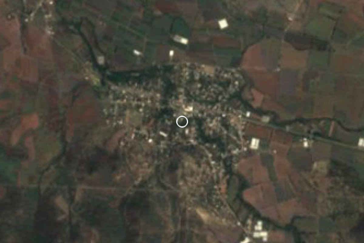
Village Tepalcingo, Morelos Municipality of Tepalcingo
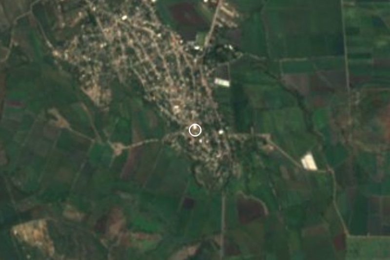
Tepalcingo village at 1,140 m, "place of hummingbirds" in Nahuatl; a horseback ride in honour of Zapata sets out from here on 10 April.
From Cuautla: 35 min by car (28 km by road) How to get there ↓
Near here
See everything nearby ↓

Plan your visit to Huitchila
Where to stay near Huitchila
Compare hotels, posadas and guest houses in Huitchila.
Tours to Huitchila
Day trips and guided outings from Tlaltizapán often include Huitchila; with a local guide you can get there without a car.
 Tours from Cuernavaca
3hr Cooking Class in Cuernavaca 8 Recipes and Bottomless Drinks
From US$59
How to get to Huitchila
- From Cuautla: about 35 min by road (~28 km)
- Nearest airport: Mexico City (MEX), 1 h 55 min by car to Tlaltizapán
Links open a partner site. We may earn a commission if you book, at no cost to you.
Tours from Cuernavaca, near Huitchila


Tours, prices and ratings from Viator, checked weekly. We may earn a commission if you book.
About Huitchila
Hummingbirds are in the name: Wikipedia derives it from Nahuatl huitzitzilin, hummingbird, plus the suffix of abundance, "place where hummingbirds abound". A report in El Sol de Cuautla links it to a "nest of huitchichiquis", another way of saying the same thing.
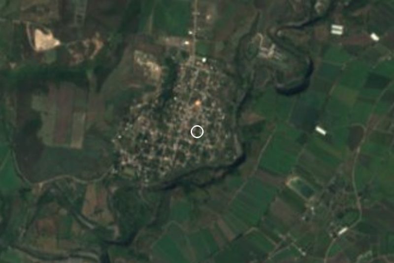
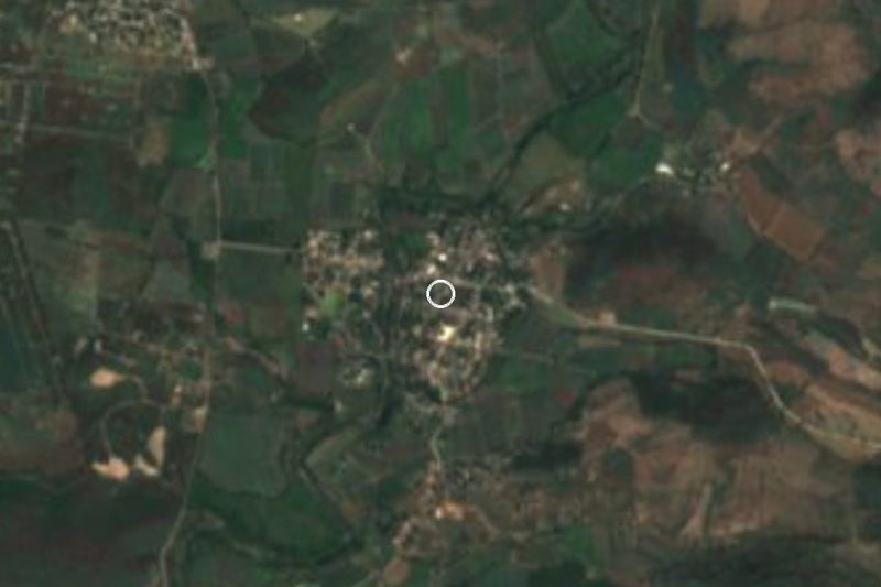
Huitchila lies at 1,140 metres in the low, warm part of Tepalcingo municipality, about 10 km northwest of the municipal seat in a straight line. It is the municipality's fourth-largest locality, with 2,186 residents in 2020, up from 1,775 in 2005 and 1,935 in 2010. The climate is hot semi-arid, averaging 23.1 °C a year, with highs that have reached 40.7 °C and about 1,120 mm of rain annually. Less than a kilometre to the south is Cerro El Maluco (1,187 m), and a little farther Las Tetillas (1,243 m).
Two dates stand out in the village calendar. One is the Carnaval Huitchichiqui, whose first edition the village ayudantía organised in honour of San Isidro Labrador, patron saint of farmers, according to El Sol de Cuautla. The other is 10 April, the anniversary of Emiliano Zapata's death, when one of the largest horseback rides in his honour sets out from Huitchila.
The area's big fair, the Señor de Tepalcingo, is held in the municipal seat, not here.
How to get to Huitchila
Drive from Cuautla: 35 min, 28 km
Huitchila is about 10 km northwest of Tepalcingo in a straight line and about 21 km from Cuautla. A route planner gives roughly 28 km and 31 minutes by car to Tlaltizapán, the nearest Pueblo Mágico. The practical base is Cuautla: head south on the federal road toward Tepalcingo (the Cuautla to Oaxaca/Izúcar corridor) and ask locally for the turn-off to Huitchila, since We found no source describing it. Allow roughly 40 to 50 minutes from Cuautla.
By public transport: Rome2Rio lists Volcanes buses from Cuautla to Tepalcingo, one every 3 hours and roughly 1 h 10 min (checked March 2026); an older guide says local transport leaves next to Cuautla's Estrella Roja terminal. From Mexico City, get to Cuautla first (Terminal Sur Taxqueña or TAPO). We found no published timetable from Tepalcingo to Huitchila, so ask for combis or taxis in the seat.
Directions to Huitchila on Google Maps
Distances are in a straight line; the road is usually longer.
Links open a partner site. We may earn a commission if you book, at no cost to you.
From the nearest cities to Huitchila
- Cuautla · 28 km by road, 35 min
- Atlixco · 75 km by road, 1 h
- Cuernavaca · 67 km by road, 1 h 15 min
Drive times by road from OpenStreetMap, without traffic or stops. Times marked ~ are estimated from the straight-line distance.
Visiting Huitchila: what to see and do
Walk the village centre and its streets.
Climb Cerro El Maluco, under 1 km south, for a view of the area (ask locally for the path).
Come on 10 April for the horseback ride in honour of Emiliano Zapata.
Ask about the Carnaval Huitchichiqui and the feast of San Isidro Labrador.
Continue to Tepalcingo to see the Santuario del Señor de Tepalcingo.
Plan your trip
Places to stay in Huitchila
Compare hotels, posadas, and rentals in and around Huitchila.
Tours & activities
Day trips and guided outings from Tlaltizapán often include Huitchila; with a local guide you can get there without a car.
Rental cars
Pick up a car at MEX (Mexico City): about 1 h 55 min by road to Tlaltizapán, then 23 km more to Huitchila, on your own schedule.
Flights
The nearest airport with scheduled flights is Mexico City (MEX), about 1 h 55 min by road from Tlaltizapán, the base for Huitchila.
Mobile data
Signal can drop away from Tlaltizapán: download a map of the way to Huitchila before you set out, or carry an eSIM with data.
Links open a partner site. We may earn a commission if you book, at no cost to you.
When to go to Huitchila warm
Huitchila shares the climate of Tlaltizapán, 23 km away. The best months to visit are January, October, November, and December.
See the month-by-month climate of Tlaltizapán
Weather in Huitchila now and the next 7 days
Live forecast from Open-Meteo. Chance of rain is the day's highest.
The closest Pueblo Mágico: Tlaltizapán

Tlaltizapán is the Pueblo Mágico closest to Huitchila, with places to stay, food, and more to see.
Also close to
- Tlayacapan · Morelos · 36 km away
- Tepoztlán · Morelos · 43 km away
- Xochitepec · Morelos · 44 km away
- Atlixco · Puebla · 61 km away
- Malinalco · Estado de México · 70 km away
Closest to Huitchila
-
Zacapalco · Village · 4 km away
-
El Salitre · Village · 5 km away
-
Huitzililla · Village · 7 km away
-
Chinameca · Town · 8 km away
-
San Rafael Zaragoza · Village · 8 km away
-
San Vicente de Juárez · Village · 8 km away
-
Jaloxtoc · Village · 9 km away
-
San Juan Ahuehueyo · Village · 9 km away
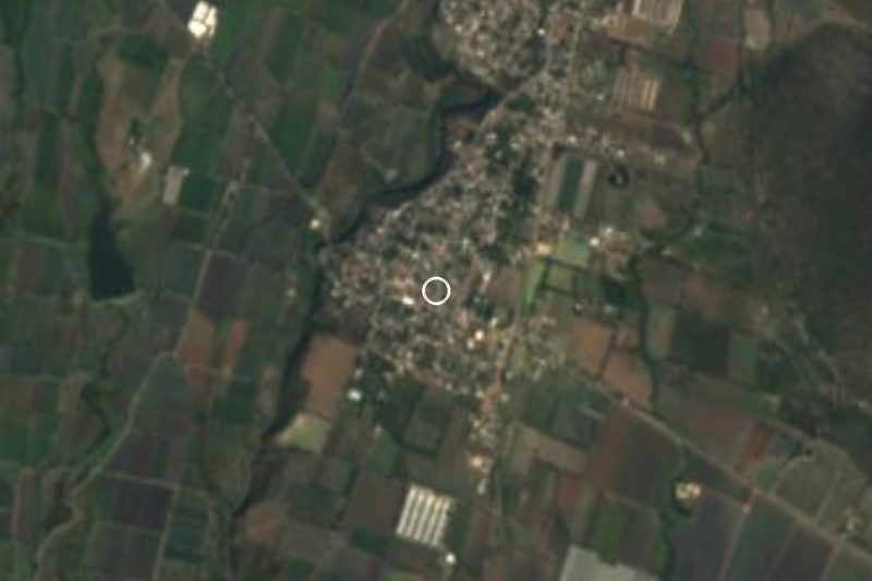

Near Huitchila

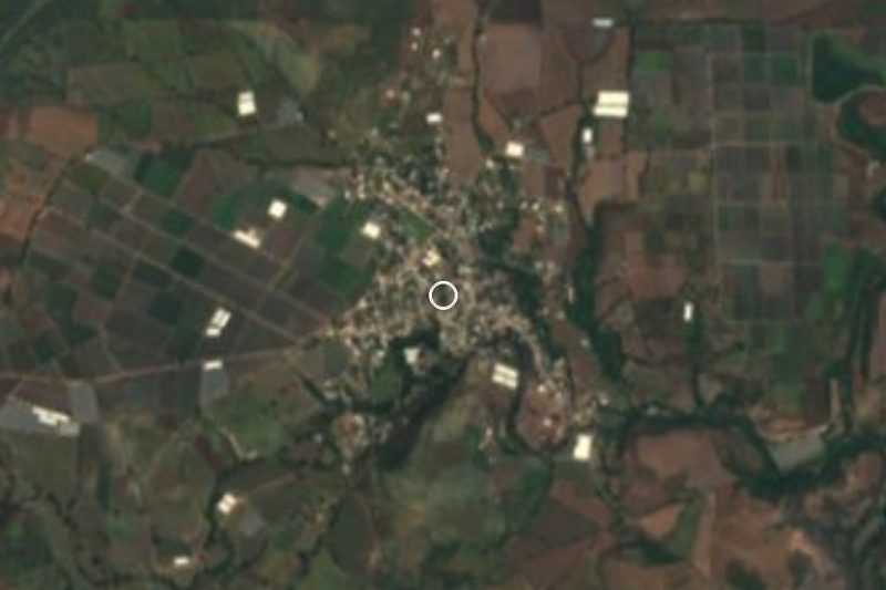
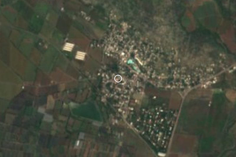


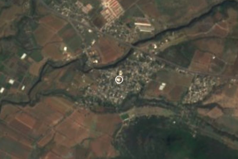


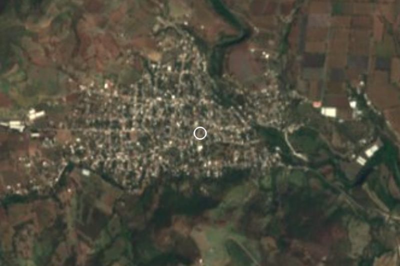

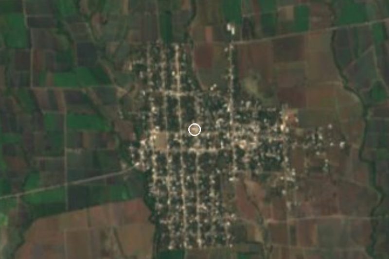
Drive times by road from OpenStreetMap, without traffic. Times marked ~ are estimated from the straight-line distance.
Location from OpenStreetMap. Written by Puebloteca.