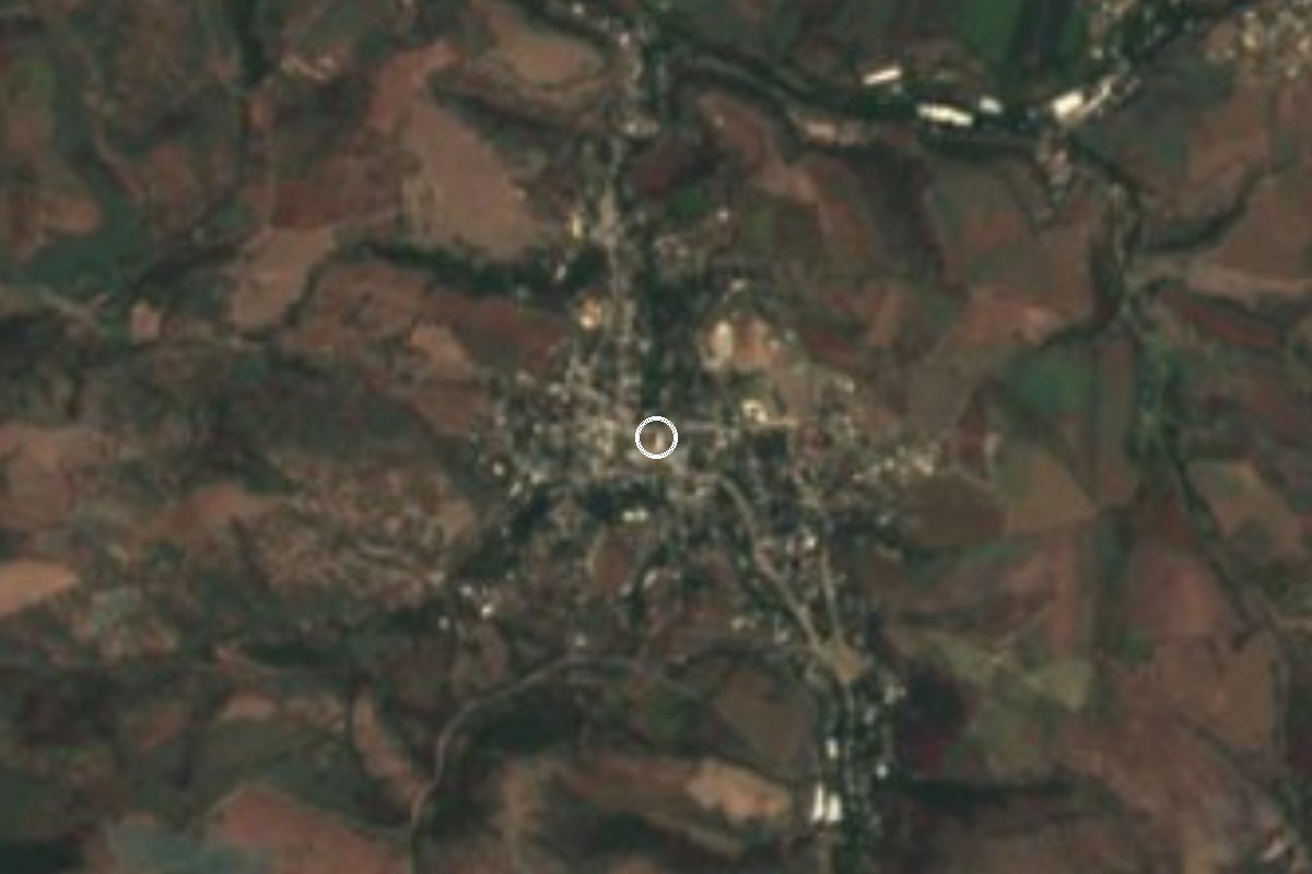
Village Tepalcingo, Morelos Municipality of Tepalcingo Southern Morelos
Village in Tepalcingo at 1,093 m, home to 1,833 people; its name refers to zacapales, a grassy plant.
From Cuautla: 40 min by car (34 km by road) How to get there ↓
Near here
See everything nearby ↓
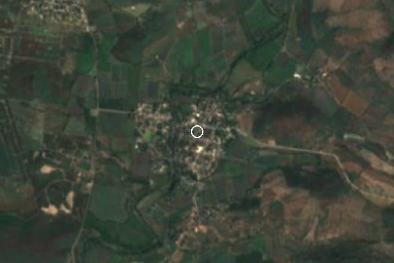
Plan your visit to Zacapalco
Where to stay near Zacapalco
Compare hotels, posadas and guest houses in Zacapalco.
Tours to Zacapalco
Day trips and guided outings from Tlaltizapán often include Zacapalco; with a local guide you can get there without a car.
 Tours from Cuernavaca
3hr Cooking Class in Cuernavaca 8 Recipes and Bottomless Drinks
From US$59
How to get to Zacapalco
- From Cuautla: about 40 min by road (~34 km)
- Nearest airport: Mexico City (MEX), 1 h 55 min by car to Tlaltizapán
Links open a partner site. We may earn a commission if you book, at no cost to you.
Tours from Cuernavaca, near Zacapalco


Tours, prices and ratings from Viator, checked weekly. We may earn a commission if you book.
About Zacapalco
Zacapalco is a locality in the south-east of Morelos that hardly appears in guidebooks, so it helps to say plainly what is known about it. It stands at 1,093 m above sea level in the municipality of Tepalcingo, and its name, from Nahuatl zacapalli and the place suffix -co, means "place of zacapales".
Its census figures are those of a village that grew mostly in the twentieth century: in 1900 only 99 people lived there, 232 in 1930, 490 in 1950 and 965 in 1970. Growth then slowed, to 1,552 in 1990, 1,714 in 2010 and 1,833 in the 2020 census. According to the municipal summary, the village has a secondary school and a health centre.
The municipality's climate is warm sub-humid, the driest of the sub-humid kind, with a mean annual temperature of 24.3 °C and about 885 mm of rain a year. The regional centre, and the place that does merit a visit, is the head town, Tepalcingo, whose sanctuary of Jesús Nazareno draws pilgrimages on foot each year. We found no sources on Zacapalco's own church, fiesta or monuments, so this page invents none.
How to get to Zacapalco
Drive from Cuautla: 40 min, 34 km
Zacapalco is in the municipality of Tepalcingo, in eastern Morelos. Cuautla, the nearest city, is about 21 km away in a straight line (roughly 30 to 40 minutes by car), and Tlaltizapán, the nearest pueblo in this guide, about 20 km. From Mexico City the practical route is the México-Cuautla toll road (160D) to Cuautla and then south and east toward Jonacatepec and Tepalcingo; the last stretch is local road, so pin Zacapalco on a map before leaving.
By bus, Rome2Rio shows a direct Tepalcingo to Cuautla service by Volcanes, about 1 hour, leaving every three hours, and a Jonacatepec to Cuautla bus of about 40 minutes, hourly. Buses from Terminal Sur Taxqueña or TAPO reach Cuautla. We found no published combi to Zacapalco: ask in Tepalcingo or Jonacatepec for units that pass through the village.
Directions to Zacapalco on Google Maps
Distances are in a straight line; the road is usually longer.
Links open a partner site. We may earn a commission if you book, at no cost to you.
From the nearest cities to Zacapalco
- Cuautla · 34 km by road, 40 min
- Atlixco · 80 km by road, 1 h 5 min
- Cuernavaca · 63 km by road, 1 h 10 min
Drive times by road from OpenStreetMap, without traffic or stops. Times marked ~ are estimated from the straight-line distance.
Visiting Zacapalco: what to see and do
Walk the village streets, at 1,093 m.
Ask about the chapel and its patron-saint fiesta.
Visit the sanctuary of Jesús Nazareno in Tepalcingo, the head town.
Plan your trip
Places to stay in Zacapalco
Compare hotels, posadas, and rentals in and around Zacapalco.
Tours & activities
Day trips and guided outings from Tlaltizapán often include Zacapalco; with a local guide you can get there without a car.
Rental cars
Pick up a car at MEX (Mexico City): about 1 h 55 min by road to Tlaltizapán, then 20 km more to Zacapalco, on your own schedule.
Flights
The nearest airport with scheduled flights is Mexico City (MEX), about 1 h 55 min by road from Tlaltizapán, the base for Zacapalco.
Mobile data
Signal can drop away from Tlaltizapán: download a map of the way to Zacapalco before you set out, or carry an eSIM with data.
Links open a partner site. We may earn a commission if you book, at no cost to you.
When to go to Zacapalco warm
Zacapalco shares the climate of Tlaltizapán, 20 km away. The best months to visit are January, October, November, and December.
See the month-by-month climate of Tlaltizapán
Weather in Zacapalco now and the next 7 days
Live forecast from Open-Meteo. Chance of rain is the day's highest.
The closest Pueblo Mágico: Tlaltizapán

Tlaltizapán is the Pueblo Mágico closest to Zacapalco, with places to stay, food, and more to see.
Also close to
- Tlayacapan · Morelos · 35 km away
- Tepoztlán · Morelos · 41 km away
- Xochitepec · Morelos · 41 km away
- Atlixco · Puebla · 64 km away
- Malinalco · Estado de México · 67 km away
Closest to Zacapalco
-
Chinameca · Town · 4 km away
-
El Salitre · Village · 4 km away
-
Huitchila · Village · 4 km away
-
San Rafael Zaragoza · Village · 5 km away
-
San Vicente de Juárez · Village · 6 km away
-
Huitzililla · Village · 9 km away
-
Moyotepec · Village · 9 km away
-
San Juan Ahuehueyo · Village · 9 km away

Near Zacapalco

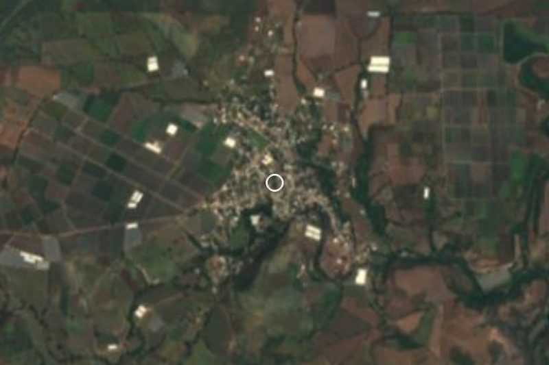
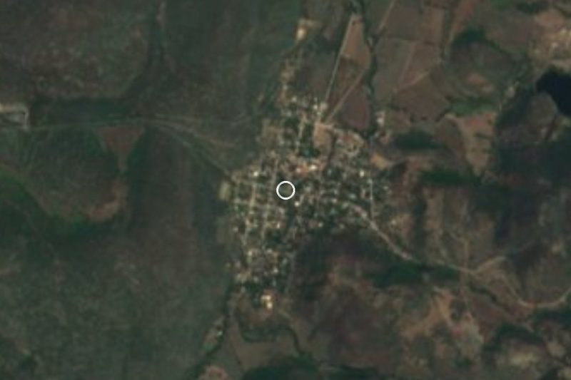
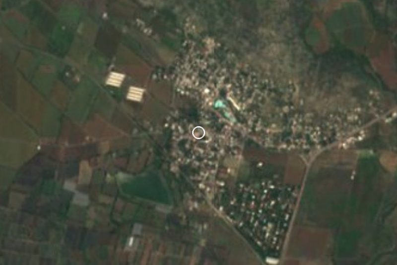
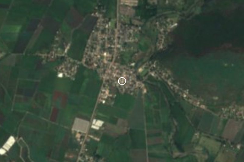


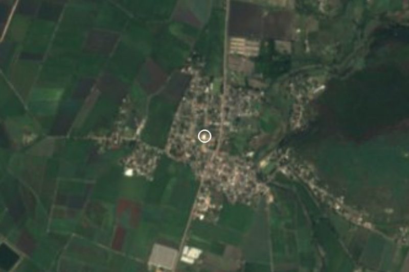
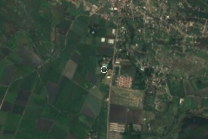
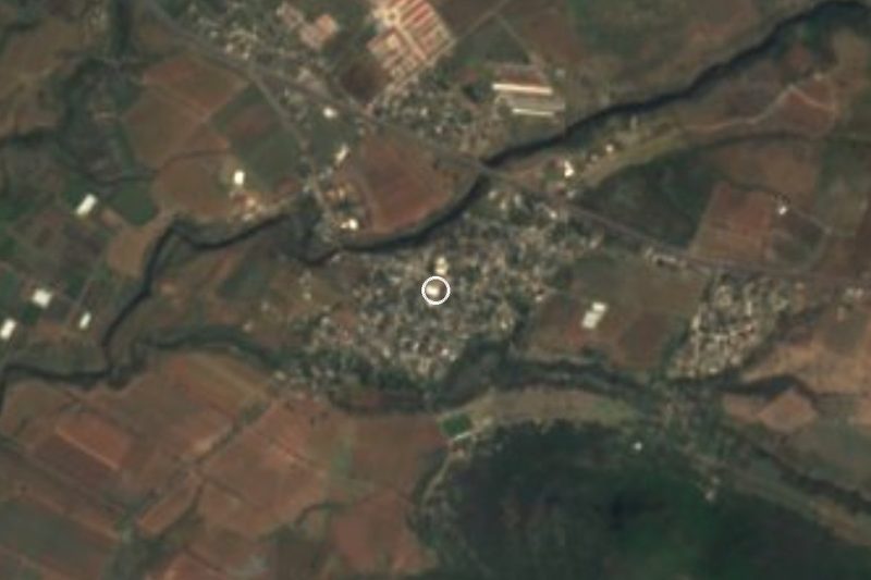

Drive times by road from OpenStreetMap, without traffic. Times marked ~ are estimated from the straight-line distance.
Location from OpenStreetMap. Written by Puebloteca.