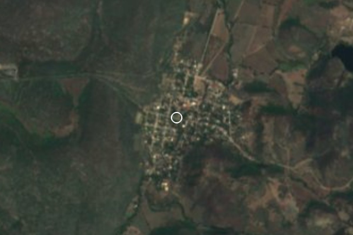
Village Tlaquiltenango, Morelos Municipality of Tlaquiltenango Southern Morelos
Once called Los Hornos, now named for the Zapatista general born here; it sits on the road to Chimalacatlán in southern Morelos.
From Cuautla: 50 min by car (42 km by road) How to get there ↓
Near here
See everything nearby ↓


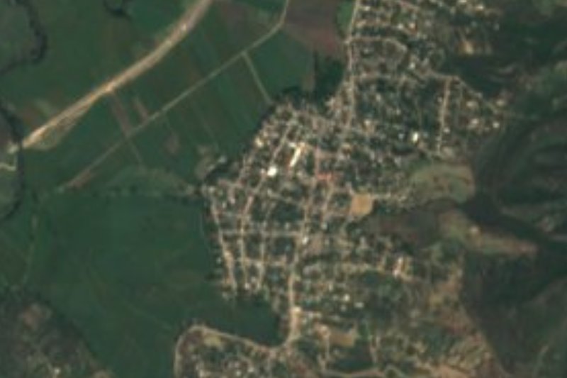
Plan your visit to Valle de Vázquez
Where to stay near Valle de Vázquez
Compare hotels, posadas and guest houses in Valle de Vázquez.
Tours to Valle de Vázquez
Day trips and guided outings from Tlaltizapán often include Valle de Vázquez; with a local guide you can get there without a car.
 Tours from Cuernavaca
3hr Cooking Class in Cuernavaca 8 Recipes and Bottomless Drinks
From US$59
How to get to Valle de Vázquez
- From Cuautla: about 50 min by road (~42 km)
- Nearest airport: Mexico City (MEX), 1 h 55 min by car to Tlaltizapán
Links open a partner site. We may earn a commission if you book, at no cost to you.
Tours from Cuernavaca, near Valle de Vázquez


Tours, prices and ratings from Viator, checked weekly. We may earn a commission if you book.
About Valle de Vázquez
Until 1934 this congregation was called Los Hornos. That year a decree of the Morelos legislature, approved on 30 May and published on 10 June, ordered that it be known from then on as Valle de Vázquez, after General Lorenzo Vázquez Herrera, born here on 10 August 1879. Vázquez rose with Gabriel Tepepa in February 1911, joined Zapata in March, took part in the capture of Tlaquiltenango, Jojutla and Cuautla, signed the Plan de Ayala, and in August 1914 the Zapatista chiefs chose him governor of Morelos. He died on 5 May 1917 in Guerrero and is buried in Tlaltizapán. Sources differ on the exact dates of his term.
The village has held steady in size in the municipality of Tlaquiltenango: 346 people in the 1900 census, 832 in 1970, 1,125 in 2010 and 1,088 in 2020, making it the municipality's third-largest locality. It lies about 946 metres above sea level in hot country, with a mean annual temperature near 24.5 °C (1970-2025 average from Pueblos de América). In 2020 just over half of homes had a mobile phone and about 42% had internet.
There are no monuments to tick off, but it is a useful waypoint. The road through town continues to Chimalacatlán, where a 33-terrace pyramid and megalithic blocks crown Cerro del Venado, a little over 2 km on foot from that village. Most people heading up to the site pass through Valle de Vázquez, and so pass the birthplace of one of the Zapatista governors.
How to get to Valle de Vázquez
Drive from Cuautla: 50 min, 42 km
Valle de Vázquez is about 14.6 km southeast of Tlaquiltenango as the crow flies; by road it is roughly 20 km and about 25 to 30 minutes by car, according to OpenStreetMap routing, which leaves Tlaquiltenango along Avenida Lorenzo Vázquez and takes the Los Hornos to Chimalacatlán road.
From Cuernavaca, take the Autopista del Sol (México 95D) south, leave toward Jojutla and continue on the state road to Tlaquiltenango. Guides to Chimalacatlán describe another route: from Jojutla toward Chinameca, through Las Carpas and La Mezquitera, then Valle de Vázquez. These are rural roads, so drive slowly and ask at junctions.
From Cuautla it is about 41 km and roughly 45 to 50 minutes via the Galeana-Cuautla state road (MOR 4) and then the road toward Los Hornos. Tlaltizapán, the nearest pueblo on the list, is about 27 km by road. We found no published combi route or timetable; ask at the stops in Tlaquiltenango or Jojutla for transport to Valle de Vázquez or Chimalacatlán. From Mexico City, the usual plan is a bus to Cuernavaca from the Terminal Sur (Taxqueña) and onward from there.
Directions to Valle de Vázquez on Google Maps
Distances are in a straight line; the road is usually longer.
Links open a partner site. We may earn a commission if you book, at no cost to you.
From the nearest cities to Valle de Vázquez
- Cuautla · 42 km by road, 50 min
- Cuernavaca · 58 km by road, 1 h 5 min
- Atlixco · 99 km by road, 1 h 20 min
Drive times by road from OpenStreetMap, without traffic or stops. Times marked ~ are estimated from the straight-line distance.
Visiting Valle de Vázquez: what to see and do
Walk the village streets and look for references to General Lorenzo Vázquez, born here in 1879.
Ask about the old name, Los Hornos, replaced by the 1934 decree.
Continue along the road to Chimalacatlán, further on.
Hike up from Chimalacatlán to the Cerro del Venado ruins (a little over 2 km).
Visit the Chimalacatlán community museum, opened with INAH support in 2001.
Plan your trip
Places to stay in Valle de Vázquez
Compare hotels, posadas, and rentals in and around Valle de Vázquez.
Tours & activities
Day trips and guided outings from Tlaltizapán often include Valle de Vázquez; with a local guide you can get there without a car.
Rental cars
Pick up a car at MEX (Mexico City): about 1 h 55 min by road to Tlaltizapán, then 19 km more to Valle de Vázquez, on your own schedule.
Flights
The nearest airport with scheduled flights is Mexico City (MEX), about 1 h 55 min by road from Tlaltizapán, the base for Valle de Vázquez.
Mobile data
Signal can drop away from Tlaltizapán: download a map of the way to Valle de Vázquez before you set out, or carry an eSIM with data.
Links open a partner site. We may earn a commission if you book, at no cost to you.
When to go to Valle de Vázquez warm
Valle de Vázquez shares the climate of Tlaltizapán, 19 km away. The best months to visit are January, October, November, and December.
See the month-by-month climate of Tlaltizapán
Weather in Valle de Vázquez now and the next 7 days
Live forecast from Open-Meteo. Chance of rain is the day's highest.
The closest Pueblo Mágico: Tlaltizapán

Tlaltizapán is the Pueblo Mágico closest to Valle de Vázquez, with places to stay, food, and more to see.
Also close to
- Xochitepec · Morelos · 39 km away
- Tlayacapan · Morelos · 48 km away
- Tepoztlán · Morelos · 51 km away
- Taxco · Guerrero · 56 km away
- Malinalco · Estado de México · 65 km away
Closest to Valle de Vázquez
-
Chimalacatlán · Village · 8 km away
-
Zona Arqueológica de Chimalacatlán · Archaeological site · 10 km away
-
Huautla · Village · 11 km away
-
Reserva de la Biosfera Sierra de Huautla · Nature reserve · 11 km away
-
Chinameca · Town · 13 km away
-
Higuerón · Village · 13 km away
-
Pedro Amaro · Village · 13 km away
-
Balneario El Paraíso · Landmark · 14 km away
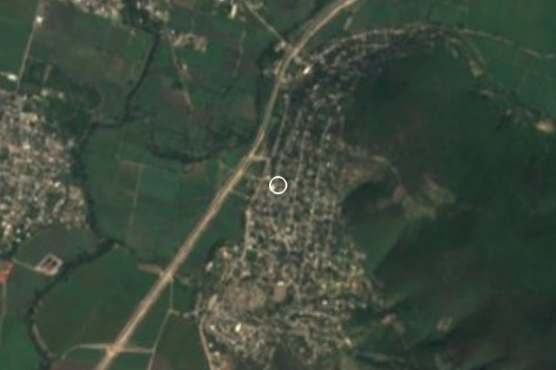

Near Valle de Vázquez
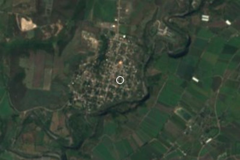
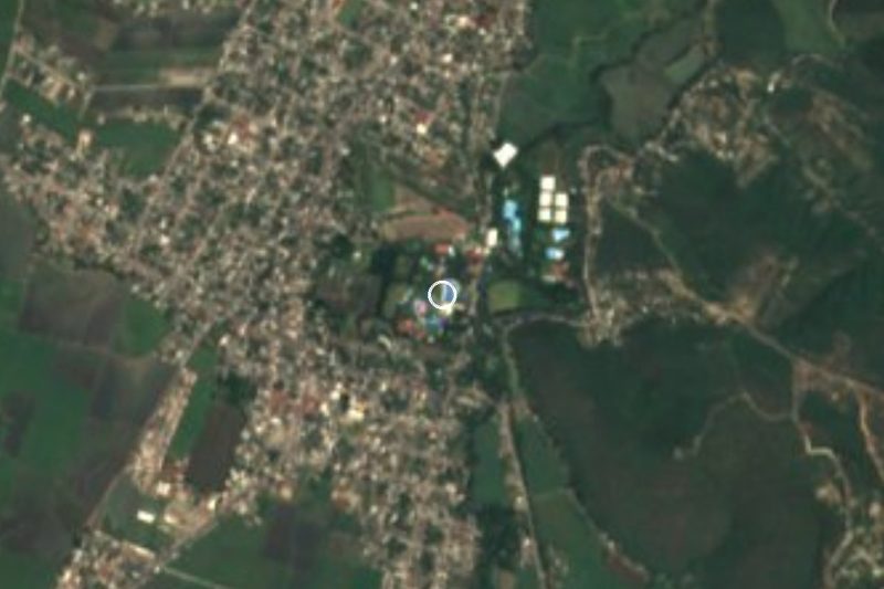




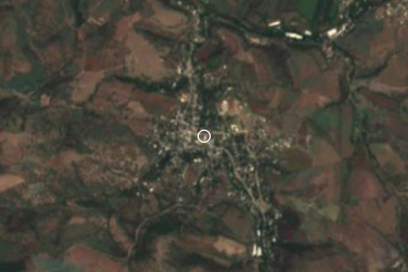



Drive times by road from OpenStreetMap, without traffic. Times marked ~ are estimated from the straight-line distance.
Location from OpenStreetMap. Written by Puebloteca.