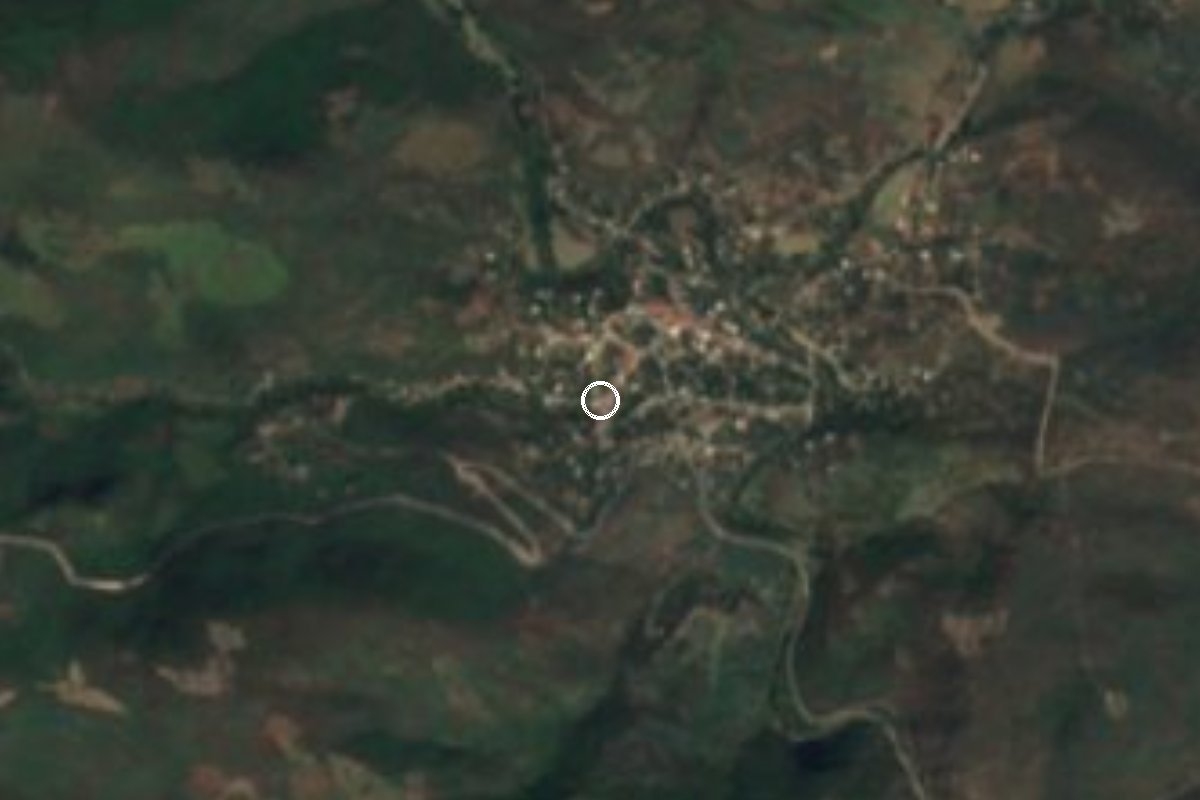
Village Tlaquiltenango, Morelos Municipality of Tlaquiltenango
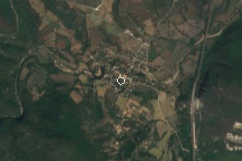
Village of about 860 people at 954 m in the Sierra de Huautla biosphere reserve, where Gildardo Magaña was named Zapata's successor.
From Cuautla: 1 h 15 min by car (60 km by road) How to get there ↓
Near here
See everything nearby ↓

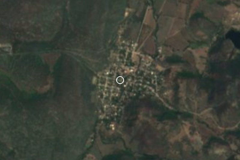

Plan your visit to Huautla
Where to stay near Huautla
Compare hotels, posadas and guest houses in Huautla.
Tours to Huautla
Day trips and guided outings from Tlaltizapán often include Huautla; with a local guide you can get there without a car.
 Tours from Cuernavaca
3hr Cooking Class in Cuernavaca 8 Recipes and Bottomless Drinks
From US$59
How to get to Huautla
- From Cuautla: about 1 h 15 min by road (~60 km)
- Nearest airport: Mexico City (MEX), 1 h 55 min by car to Tlaltizapán
Links open a partner site. We may earn a commission if you book, at no cost to you.
Tours from Cuernavaca, near Huautla


Tours, prices and ratings from Viator, checked weekly. We may earn a commission if you book.
About Huautla
Huautla is a village of about 860 people (2020 census) at roughly 950 metres, in the municipality of Tlaquiltenango, in the heart of the Sierra de Huautla. It is the fourth largest of the municipality's 54 localities and is ringed by hills of dry deciduous forest, among them Cerro Huautla at 1,329 m and Las Escobas at 1,384 m. It is not Huautla de Jiménez in Oaxaca, nor Huautla in Hidalgo.
The place has a spot in Revolution history: on 4 September 1919, at the revolutionary camp of Huautla, the generals of the Liberation Army of the South proclaimed Gildardo Magaña as successor to Emiliano Zapata, who had been killed that year at Chinameca. One account puts the vote at 18 to 11 against Jesús Capistrán.
The surroundings are now the Sierra de Huautla Biosphere Reserve, declared in September 1999 and recognised by UNESCO in 2006. It covers about 59,000 hectares of the Balsas basin and is one of the largest protected areas in central Mexico. Records list 209 bird species and 69 large mammals, including white-tailed deer, boar and coyote, and the area is promoted for ecotourism, camping and hiking, with caves that hold prehispanic paintings. The village has no lodging; the nearest hotels are about 35 to 39 km away.
How to get to Huautla
Drive from Cuautla: 1 h 15 min, 60 km
Huautla is about 45.6 km from Tlaquiltenango, the municipal seat, by mountain roads, and some 25 km in a straight line. From Cuernavaca the general route is the Autopista del Sol (95D) to Alpuyeca, then Jojutla and Tlaquiltenango (about an hour in all, per Rome2rio), then the road on to Huautla; buses run from Cuernavaca (Casino de la Selva) to Jojutla and on to Tlaquiltenango.
From Tlaltizapán, the nearest pueblo on our list, it is about 30 km in a straight line, roughly 1 to 1.25 hours by road (approx.). From Cuautla, the nearest city, about 44 km straight-line and much more by road (approx. 1.5 hours or longer). We found no colectivo schedules from Tlaquiltenango to Huautla: ask at the Tlaquiltenango bus station or market, and check the last stretch on a current map.
Directions to Huautla on Google Maps
Distances are in a straight line; the road is usually longer.
Links open a partner site. We may earn a commission if you book, at no cost to you.
From the nearest cities to Huautla
- Cuautla · 60 km by road, 1 h 15 min
- Cuernavaca · 79 km by road, 1 h 35 min
- Atlixco · 117 km by road, 1 h 50 min
Drive times by road from OpenStreetMap, without traffic or stops. Times marked ~ are estimated from the straight-line distance.
Visiting Huautla: what to see and do
Walk the village and ask about the camp site where Gildardo Magaña was proclaimed Zapatista chief in 1919.
Hike the dry-forest trails of the Sierra de Huautla Biosphere Reserve.
Watch for birds and mammals at dawn; the reserve records 209 bird species.
Ask about the caves with prehispanic paintings and visit them only with a guide.
Camp in the sierra with the community's permission.
Plan your trip
Places to stay in Huautla
Compare hotels, posadas, and rentals in and around Huautla.
Tours & activities
Day trips and guided outings from Tlaltizapán often include Huautla; with a local guide you can get there without a car.
Rental cars
Pick up a car at MEX (Mexico City): about 1 h 55 min by road to Tlaltizapán, then 30 km more to Huautla, on your own schedule.
Flights
The nearest airport with scheduled flights is Mexico City (MEX), about 1 h 55 min by road from Tlaltizapán, the base for Huautla.
Mobile data
Signal can drop away from Tlaltizapán: download a map of the way to Huautla before you set out, or carry an eSIM with data.
Links open a partner site. We may earn a commission if you book, at no cost to you.
When to go to Huautla warm
Huautla shares the climate of Tlaltizapán, 30 km away. The best months to visit are January, October, November, and December.
See the month-by-month climate of Tlaltizapán
Weather in Huautla now and the next 7 days
Live forecast from Open-Meteo. Chance of rain is the day's highest.
The closest Pueblo Mágico: Tlaltizapán

Tlaltizapán is the Pueblo Mágico closest to Huautla, with places to stay, food, and more to see.
Also close to
- Xochitepec · Morelos · 50 km away
- Tlayacapan · Morelos · 58 km away
- Tepoztlán · Morelos · 61 km away
- Taxco · Guerrero · 63 km away
- Malinalco · Estado de México · 76 km away
Closest to Huautla
-
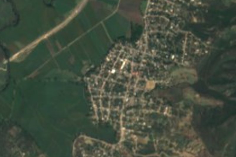
Chimalacatlán · Village · 8 km away
-
Zona Arqueológica de Chimalacatlán · Archaeological site · 8 km away
-
Reserva de la Biosfera Sierra de Huautla · Nature reserve · 11 km away
-
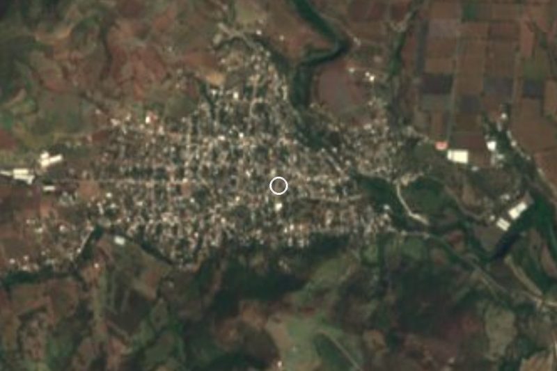
Valle de Vázquez · Village · 11 km away
-
Coaxitlán · Village · 17 km away
-
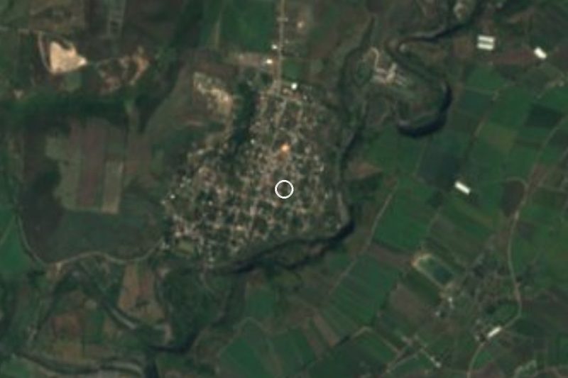
Chinameca · Town · 20 km away
-
Higuerón · Village · 22 km away
-
Ixtlilco el Grande · Village · 22 km away
Near Huautla

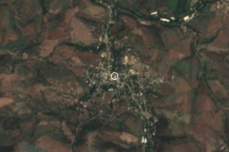






Drive times by road from OpenStreetMap, without traffic. Times marked ~ are estimated from the straight-line distance.
Location from OpenStreetMap. Written by Puebloteca.