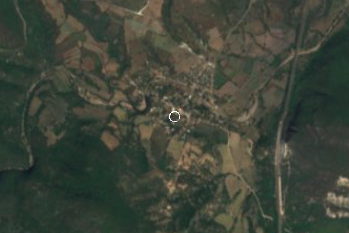
Village Tlaquiltenango, Morelos Municipality of Tlaquiltenango
Village of about 480 people at 810 m in the Sierra de Huautla, south of Tlaquiltenango and about 5 km from Huixastla.
From Cuernavaca: 50 min by car (63 km by road) How to get there ↓
Near here
See everything nearby ↓

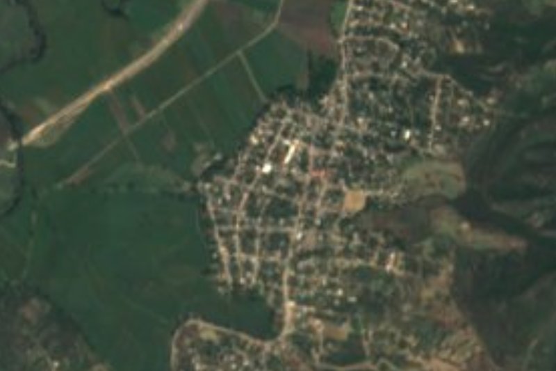
Plan your visit to Coaxitlán
Where to stay near Coaxitlán
Compare hotels, posadas and guest houses in Coaxitlán.
Tours to Coaxitlán
Day trips and guided outings from Tlaltizapán often include Coaxitlán; with a local guide you can get there without a car.
How to get to Coaxitlán
- From Cuernavaca: about 50 min by road (~63 km)
- Nearest airport: Mexico City (MEX), 1 h 55 min by car to Tlaltizapán
Links open a partner site. We may earn a commission if you book, at no cost to you.
About Coaxitlán
The name of Coaxitlán can be read two ways. One gloss turns the Nahuatl as "where medicinal plants abound"; another says the proper form is Coatzintlan, "beside the little snake". The village lies at about 810 m inside the Sierra de Huautla Biosphere Reserve, roughly 20 km south of Tlaquiltenango in a straight line, among hills of 1,100 to 1,550 m such as El Chautle, El Rodarte and Las Cruces.
It had 478 residents in the 2020 census (232 women and 246 men), nearly the same as in 2010 (450) and below the 513 of 2000. There are 141 occupied homes; in 2020 almost nine in ten had piped water and a mobile phone. Of those who reported a religion, 395 are Catholic, 38 Protestant and 43 say they have none. Around it are tiny hamlets such as Los Cuatecomates and Agua Salada, with a handful of people, and larger villages 8 or 9 km away, such as Nexpa (512) and Pueblo Viejo (491).
The climate is savanna with summer rains: 25.8 °C on average, April the hottest month (29.1 °C average) and about 1,400 mm of rain, mostly in September. The reserve's hills carry low deciduous forest, according to Wikipedia. The village has no hotels or restaurants; the nearest are in Tilzapotla, about 10 km by road, and in Tehuixtla.
How to get to Coaxitlán
Drive from Cuernavaca: 50 min, 63 km
It is a mountain road and the last stretch is narrow. From Mexico City take toll road 95D toward Cuernavaca, continue south to the Alpuyeca junction and take the highway to Jojutla. According to a spa guide, from Jojutla you continue through Higuerón and, past the village, toward Huixastla; according to RoadOnMap, Coaxitlán is about 5 km by road from Huixastla and about 10 km from Tilzapotla. In a straight line it is about 20 km from Tlaquiltenango, but by road it is considerably more and We found no reliable travel time: allow over an hour from Jojutla and check the route on a map.
By public transport, Pullman de Morelos runs from the Terminal Sur (Taxqueña) to Jojutla. From Jojutla, that guide mentions a micro toward Nexpa that serves Huixastla about three times a day; there is no confirmed service to Coaxitlán itself, so your own car or a taxi is the practical choice. Carry fuel, water and cash: the village has no hotels or restaurants.
Directions to Coaxitlán on Google Maps
Distances are in a straight line; the road is usually longer.
Links open a partner site. We may earn a commission if you book, at no cost to you.
From the nearest cities to Coaxitlán
- Cuernavaca · 63 km by road, 50 min
- Cuautla · 73 km by road, 1 h 5 min
- Taxco · 83 km by road, 1 h 10 min
Drive times by road from OpenStreetMap, without traffic or stops. Times marked ~ are estimated from the straight-line distance.
Visiting Coaxitlán: what to see and do
Walk around the village and its edges slowly, before the heat builds.
Look at the hills of El Chautle (1,434 m), 5 km to the southeast.
Notice the low deciduous forest of the Sierra de Huautla.
Continue to Huixastla, about 5 km away, which has a spa called Las Tortugas.
Plan your trip
Places to stay in Coaxitlán
Compare hotels, posadas, and rentals in and around Coaxitlán.
Tours & activities
Day trips and guided outings from Tlaltizapán often include Coaxitlán; with a local guide you can get there without a car.
Rental cars
Pick up a car at MEX (Mexico City): about 1 h 55 min by road to Tlaltizapán, then 27 km more to Coaxitlán, on your own schedule.
Flights
The nearest airport with scheduled flights is Mexico City (MEX), about 1 h 55 min by road from Tlaltizapán, the base for Coaxitlán.
Mobile data
Signal can drop away from Tlaltizapán: download a map of the way to Coaxitlán before you set out, or carry an eSIM with data.
Links open a partner site. We may earn a commission if you book, at no cost to you.
When to go to Coaxitlán warm
Coaxitlán shares the climate of Tlaltizapán, 27 km away. The best months to visit are January, October, November, and December.
See the month-by-month climate of Tlaltizapán
Weather in Coaxitlán now and the next 7 days
Live forecast from Open-Meteo. Chance of rain is the day's highest.
The closest Pueblo Mágico: Tlaltizapán

Tlaltizapán is the Pueblo Mágico closest to Coaxitlán, with places to stay, food, and more to see.
Also close to
- Xochitepec · Morelos · 41 km away
- Taxco · Guerrero · 46 km away
- Tlayacapan · Morelos · 60 km away
- Tepoztlán · Morelos · 60 km away
- Malinalco · Estado de México · 65 km away
Closest to Coaxitlán
-
Reserva de la Biosfera Sierra de Huautla · Nature reserve · 6 km away
-
Zona Arqueológica de Chimalacatlán · Archaeological site · 8 km away
-
Chimalacatlán · Village · 10 km away
-
Tilzapotla · Village · 11 km away
-
Balneario ISSSTehuixtla · Hot springs · 14 km away
-
Higuerón · Village · 14 km away
-
Tehuixtla · Village · 15 km away
-
Valle de Vázquez · Village · 15 km away

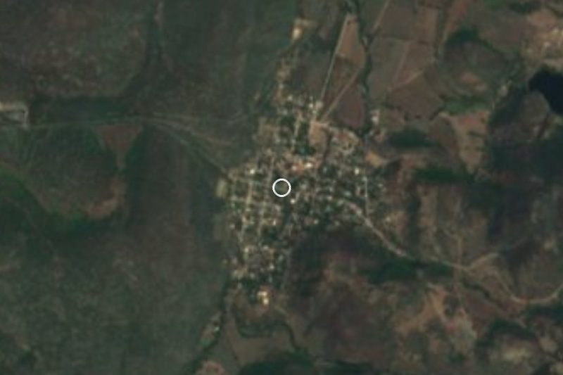
Near Coaxitlán



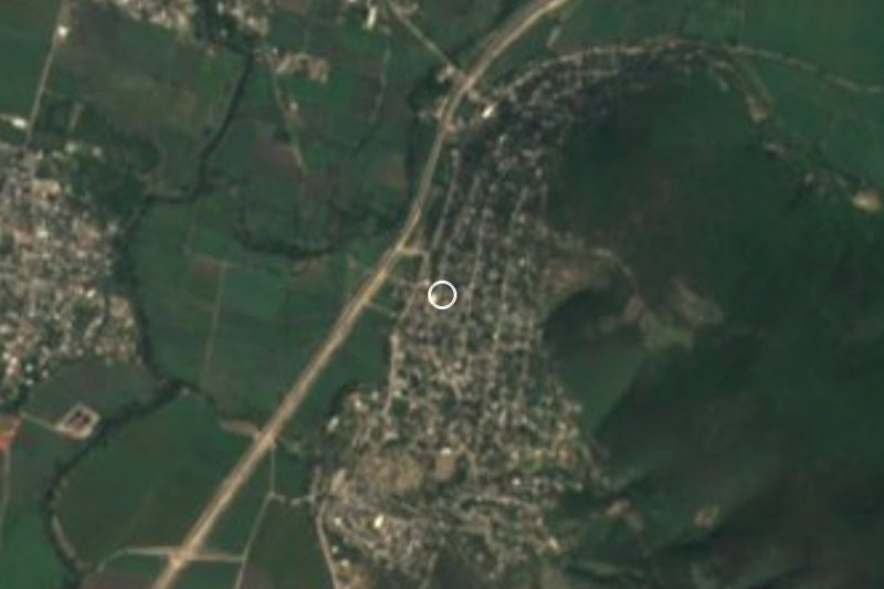

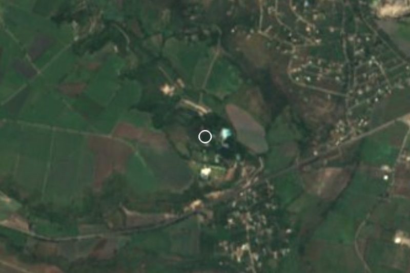
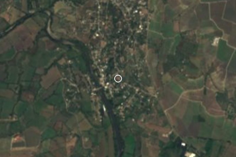




Drive times by road from OpenStreetMap, without traffic. Times marked ~ are estimated from the straight-line distance.
Location from OpenStreetMap. Written by Puebloteca.