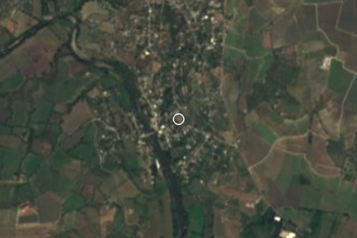
Village Puente de Ixtla, Morelos Municipality of Puente de Ixtla Southern Morelos
Puente de Ixtla locality at 860 m with 1,779 residents in 2020, close to Tehuixtla and Lake Tequesquitengo.
From Cuernavaca: 40 min by car (46 km by road) How to get there ↓
Near here
See everything nearby ↓




Plan your visit to El Estudiante
Where to stay near El Estudiante
Compare hotels, posadas and guest houses in El Estudiante.
Tours to El Estudiante
Day trips and guided outings from Tlaltizapán often include El Estudiante; with a local guide you can get there without a car.
 Tours from Taxco
Taxco and Cuernavaca Tour from CDMX
★ 4.5 (11) · From US$61
How to get to El Estudiante
- From Cuernavaca: about 40 min by road (~46 km)
- Nearest airport: Mexico City (MEX), 1 h 55 min by car to Tlaltizapán
Links open a partner site. We may earn a commission if you book, at no cost to you.
Tours from Taxco, near El Estudiante


Tours, prices and ratings from Viator, checked weekly. We may earn a commission if you book.
About El Estudiante
With 1,779 residents in the 2020 census, El Estudiante is the fifth most populous of the 72 localities in the municipality of Puente de Ixtla, in southern Morelos. Its count has risen at every INEGI census: 1,401 people in 2005, 1,553 in 2010 and 1,779 in 2020. That last year there were 444 occupied homes and the average schooling was 7.2 years.
It sits at about 860 m above sea level, roughly 5 km southeast of Puente de Ixtla, the municipal seat, in a straight line. The climate is hot and semi-arid: the annual mean is around 25 °C, April and May afternoons average above 35 °C, and the roughly 1,230 mm of yearly rain falls mostly in summer, with September the wettest month.
Around it is a web of small localities: Loma Florida (414 residents) under 1 km to the west, El Coco (635) about 2 km to the northwest and Brasilera Chica 1.5 km to the south. Tehuixtla, with some 6,500 people, lies about 3.5 km to the southeast and holds most of the shops and food stands of the area. To the east and northeast, about 4 km off in a straight line, stretches Lake Tequesquitengo, the best-known visitor draw in this corner of the state.
There are no hotels or tourist sights in the village itself; people staying in the area use Puente de Ixtla or the lake shore.
How to get to El Estudiante
Drive from Cuernavaca: 40 min, 46 km
By road, from Mexico City and Cuernavaca take the Autopista del Sol 95D toward Acapulco and leave at the Tequesquitengo interchange, which joins state route 5 toward the lake; from there continue to Puente de Ixtla and the Tehuixtla area. From Cuernavaca the drive is about 35 to 45 minutes. El Estudiante is about 5 km from Puente de Ixtla and about 3.5 km from Tehuixtla on local roads; check the last stretch on a map.
By bus, Pullman de Morelos runs from Cuernavaca (Casino de la Selva) to Jojutla in about 1 hour, and from Jojutla to Puente de Ixtla in about 36 minutes, with frequent departures; from Mexico City there are buses to Puente de Ixtla from Terminal Sur (Taxqueña). From Puente de Ixtla or Tehuixtla a taxi or colectivo covers the last kilometres. The nearest city with full services is Cuernavaca, roughly 50 km away; Tlaltizapán, the nearest Pueblo Mágico, is about 40 km. Check times and fares with the bus line.
Directions to El Estudiante on Google Maps
Distances are in a straight line; the road is usually longer.
Links open a partner site. We may earn a commission if you book, at no cost to you.
From the nearest cities to El Estudiante
- Cuernavaca · 46 km by road, 40 min
- Taxco · 50 km by road, 55 min
- Cuautla · 67 km by road, 1 h
Drive times by road from OpenStreetMap, without traffic or stops. Times marked ~ are estimated from the straight-line distance.
Visiting El Estudiante: what to see and do
Walk the road between El Estudiante and Loma Florida, under 1 km, to see the farmland of southern Morelos.
Eat in Tehuixtla, about 3.5 km away, where the food stands and taquerías are.
Reach Lake Tequesquitengo, about 4 km away as the crow flies.
Look out for the hills south of Puente de Ixtla, such as El Clarín (1,171 m).
Visit the municipal seat, Puente de Ixtla, about 5 km off.
Plan your trip
Places to stay in El Estudiante
Compare hotels, posadas, and rentals in and around El Estudiante.
Tours & activities
Day trips and guided outings from Tlaltizapán often include El Estudiante; with a local guide you can get there without a car.
Rental cars
Pick up a car at MEX (Mexico City): about 1 h 55 min by road to Tlaltizapán, then 20 km more to El Estudiante, on your own schedule.
Flights
The nearest airport with scheduled flights is Mexico City (MEX), about 1 h 55 min by road from Tlaltizapán, the base for El Estudiante.
Mobile data
Signal can drop away from Tlaltizapán: download a map of the way to El Estudiante before you set out, or carry an eSIM with data.
Links open a partner site. We may earn a commission if you book, at no cost to you.
When to go to El Estudiante warm
El Estudiante shares the climate of Tlaltizapán, 20 km away. The best months to visit are January, October, November, and December.
See the month-by-month climate of Tlaltizapán
Weather in El Estudiante now and the next 7 days
Live forecast from Open-Meteo. Chance of rain is the day's highest.
The closest Pueblo Mágico: Tlaltizapán

Tlaltizapán is the Pueblo Mágico closest to El Estudiante, with places to stay, food, and more to see.
Also close to
- Xochitepec · Morelos · 24 km away
- Taxco · Guerrero · 33 km away
- Tonatico · Estado de México · 47 km away
- Malinalco · Estado de México · 47 km away
- Tepoztlán · Morelos · 50 km away
Closest to El Estudiante
-
Puente de Ixtla · Town · 1 km away
-
Jardines de México · Landmark · 3 km away
-
Tehuixtla · Village · 3 km away
-
Balneario ISSSTehuixtla · Hot springs · 4 km away
-
Lago de Tequesquitengo · Lake · 5 km away
-
Marina del Sol · Landmark · 5 km away
-
Hacienda San Gabriel de las Palmas · Landmark · 7 km away
-
Paradise Ski Club · Landmark · 7 km away
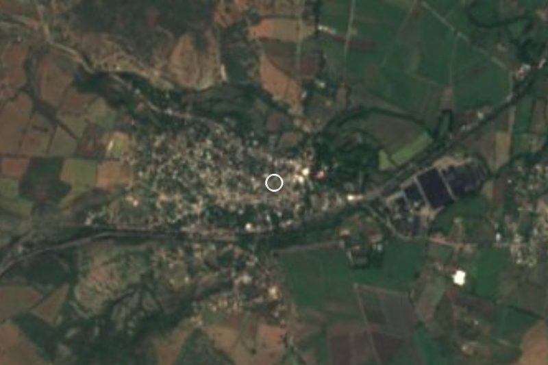

Near El Estudiante
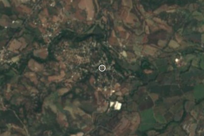


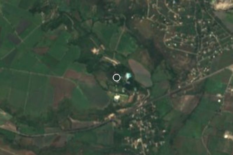
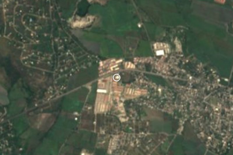

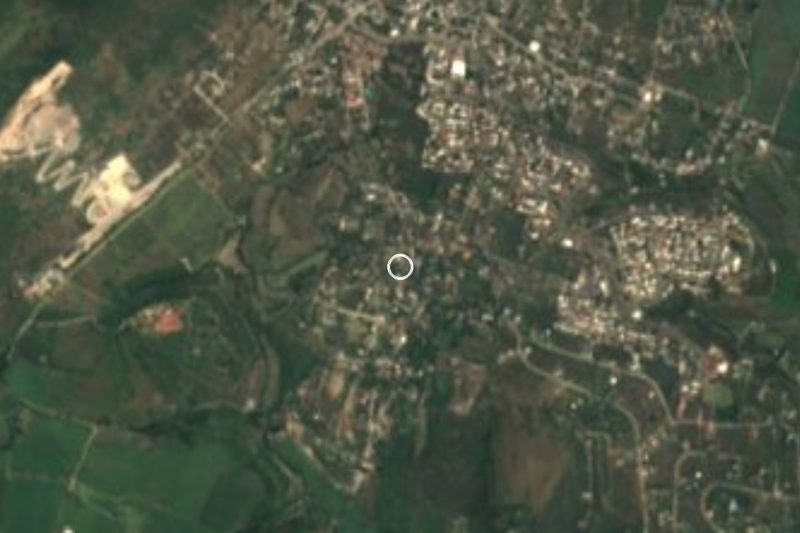
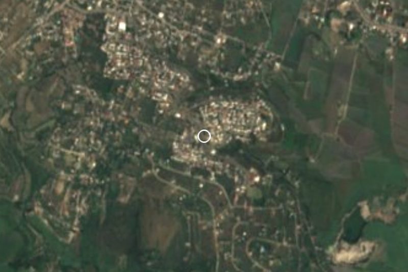
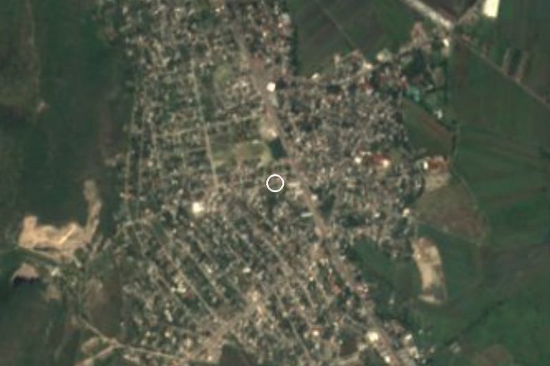


Drive times by road from OpenStreetMap, without traffic. Times marked ~ are estimated from the straight-line distance.
Location from OpenStreetMap. Written by Puebloteca.