


Town Puente de Ixtla, Morelos Municipality of Puente de Ixtla
Town in southwest Morelos at 897 m, named for a 16th-century masonry bridge, with a plaza and two churches and the toll road to Iguala.
From Cuernavaca: 45 min by car (48 km by road) How to get there ↓
Near here
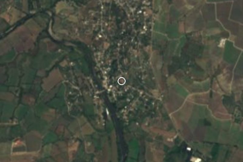

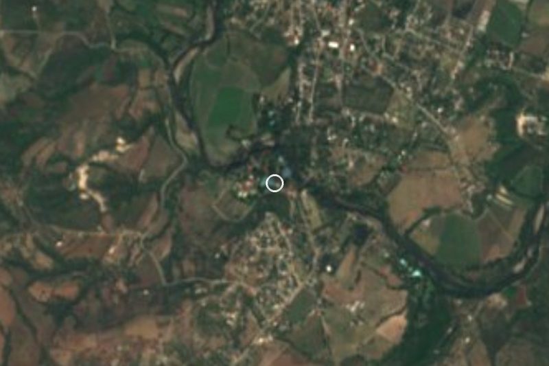


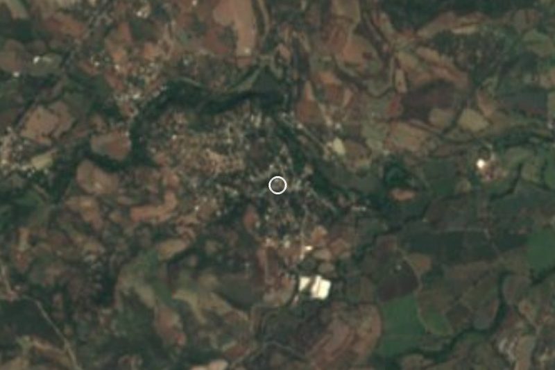
Plan your visit to Puente de Ixtla
Where to stay near Puente de Ixtla
Compare hotels, posadas and guest houses in Puente de Ixtla.
Tours to Puente de Ixtla
Day trips around Tlaltizapán sometimes stop in Puente de Ixtla; a tour is the easy way to see it without a car.
 Tours from Taxco
Taxco and Cuernavaca Tour from CDMX
★ 4.5 (11) · From US$61
How to get to Puente de Ixtla
- From Cuernavaca: about 45 min by road (~48 km)
- Nearest airport: Mexico City (MEX), 1 h 55 min by car to Tlaltizapán
Links open a partner site. We may earn a commission if you book, at no cost to you.
Tours from Taxco, near Puente de Ixtla


Tours, prices and ratings from Viator, checked weekly. We may earn a commission if you book.
About Puente de Ixtla
Puente de Ixtla is named for a masonry bridge that, in the usual account, went up in the 16th century over the river crossing the town centre; "Ixtla" is commonly glossed from Nahuatl as place of obsidian. With 20,434 people in 2020 it is the largest locality in its municipality, which had 40,018 residents across 59 localities, and it sits at about 897 m in southwest Morelos, close to the Guerrero line.
The site was part of the Cuauhnahuac lordship and paid tribute to the Mexica. Under Spanish rule the bridge made the town a required stop for merchant caravans between Acapulco and Mexico City. In 1871 Xoxocotla, Tehuixtla and the hacienda of San José Vista Hermosa were annexed to it (Tehuixtla later went to Jojutla). The population was evacuated in 1913 and 1914 during the Revolution, and a cannonball brought down the bell tower of the San Mateo church. On 26 April 1920 Álvaro Obregón met Francisco Cossio Robelo here, a meeting Wikipedia describes as effectively ending the Revolution in the south.
The climate is hot and dry, 24 to 40 °C with summer rains, and farming covers a little over half the municipality, with about a fifth in tropical forest; part of the municipality lies inside the Sierra de Huautla Biosphere Reserve. Two-fifths of Lake Tequesquitengo and the Emiliano Zapata dam at Tilzapotla fall within its limits, although the better-known lake is mostly on the Jojutla side.
The biggest fiestas are the Purísima Concepción on 8 December and San Mateo on 21 September, Local traditions include a pilgrimage of the Señor de Ixtla, chinelos and moros y cristianos dances. Corn cookies are a local specialty. This is a market and crossroads town more than a tourist stop, and a practical base for the haciendas, balnearios and sierra of the area.
How to get to Puente de Ixtla
Drive from Cuernavaca: 45 min, 48 km
By car from Cuernavaca, take the Autopista del Sol (95D) toward Acapulco; around Puente de Ixtla it meets the 91D toll road to Iguala, inside the Puente de Ixtla municipality. The Cuernavaca to Puente de Ixtla toll was 95 pesos for a car in 2026 (ADN40), and from Mexico City it is about 113 km and roughly 1 h 40 min, per Rome2rio. By bus, there are services from the Terminal Sur (Taxqueña) to Puente de Ixtla, about 3 h 40 min according to Rome2rio; that source lists no direct bus from Cuernavaca, so you connect: a bus from Cuernavaca to Jojutla, then another from Jojutla to Puente de Ixtla. The 91D toll road runs on to Iguala, about 63 km. Tlaltizapán is about 21 km away in a straight line (roughly 25 min) and Iguala about 35 km in a straight line (roughly 40 min); by the toll road the distance to Iguala is longer.
Directions to Puente de Ixtla on Google Maps
Distances are in a straight line; the road is usually longer.
Links open a partner site. We may earn a commission if you book, at no cost to you.
From the nearest cities to Puente de Ixtla
- Cuernavaca · 48 km by road, 45 min
- Taxco · 51 km by road, 55 min
- Iguala · 64 km by road, 1 h 5 min
Drive times by road from OpenStreetMap, without traffic or stops. Times marked ~ are estimated from the straight-line distance.
What to see in Puente de Ixtla 1
Sights with their own page, closest to the centre first.
-
Balneario ISSSTehuixtla · Hot springs · 4 km from the centre
ISSSTE recreation centre in Tehuixtla, Jojutla: sulphur-water pools, a waterfall, a diving pit and camping. Open to all; adults 131 pesos.
Map of Puente de Ixtla
Neighbourhoods and villages of Puente de Ixtla
Part of Puente de Ixtla or just outside it, closest first.
-
El Estudiante · Village · 1 km from the centre
Puente de Ixtla locality at 860 m with 1,779 residents in 2020, close to Tehuixtla and Lake Tequesquitengo. -
Tehuixtla · Village · 3 km from the centre
San Pedro Tehuixtla, on the Amacuzac: a sulphur-water spa, a nationally known rompope and the Virgen del Rosario fair each October.
Day trips and tours from Puente de Ixtla
The closest Pueblos Mágicos and places to visit, with the drive from Puente de Ixtla and tours that leave from it.
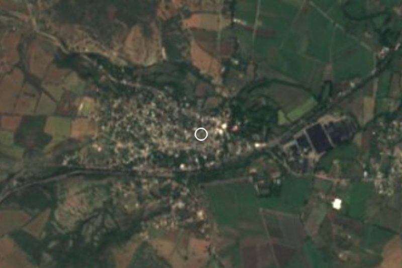


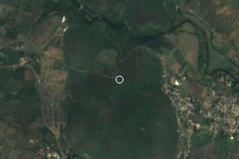


Times marked ~ are estimated from the distance. Links open a partner site. We may earn a commission if you book, at no cost to you.
Before you go: getting to and around Puente de Ixtla
- The nearest airport is Mexico City (MEX).
- The best months to go are January, October, November, and December.
- 1 of the places on this page is more than 3 km from the centre: take a taxi, a ride-hailing app or a local bus.
- For day trips a rental car gives the most freedom; the tours above leave from Puente de Ixtla.
Before you go to Puente de Ixtla: hours, prices and tips
- Best season
- Hot and dry year-round: 24 to 40 °C, with summer rains. Fiestas on 8 December (Purísima Concepción) and 21 September (San Mateo). Wikipedia · checked Oct 2026
Hours and prices change, especially around holidays. Each fact links to where we checked it.
Visiting Puente de Ixtla: what to see and do
Cross the 16th-century masonry bridge that gave the town its name.
Look up at the clock tower of the Purísima Concepción church, a gift from Álvaro Obregón.
Walk the plaza, with the municipal palace and the church side by side.
Visit the 18th-century San Mateo Ixtla church, next to archaeological remains.
Go to San José Vista Hermosa for the hacienda that Wikipedia says Hernán Cortés founded, now a hotel and restaurant.
Try the local corn cookies.
Plan your trip
Places to stay in Puente de Ixtla
Compare hotels, posadas, and rentals in and around Puente de Ixtla.
Tours & activities
Day trips around Tlaltizapán sometimes stop in Puente de Ixtla; a tour is the easy way to see it without a car.
Rental cars
Pick up a car at MEX (Mexico City): about 1 h 55 min by road to Tlaltizapán, then 21 km more to Puente de Ixtla, on your own schedule.
Flights
The nearest airport with scheduled flights is Mexico City (MEX), about 1 h 55 min by road from Tlaltizapán, the base for Puente de Ixtla.
Mobile data
Signal can drop away from Tlaltizapán: download a map of the way to Puente de Ixtla before you set out, or carry an eSIM with data.
Links open a partner site. We may earn a commission if you book, at no cost to you.
Photos
When to go to Puente de Ixtla warm
Puente de Ixtla shares the climate of Tlaltizapán, 21 km away. The best months to visit are January, October, November, and December.
See the month-by-month climate of Tlaltizapán
Weather in Puente de Ixtla now and the next 7 days
Live forecast from Open-Meteo. Chance of rain is the day's highest.
The closest Pueblo Mágico: Tlaltizapán

Tlaltizapán is the Pueblo Mágico closest to Puente de Ixtla, with places to stay, food, and more to see.
Also close to
- Xochitepec · Morelos · 25 km away
- Taxco · Guerrero · 32 km away
- Tonatico · Estado de México · 47 km away
- Malinalco · Estado de México · 48 km away
- Ixtapan de la Sal · Estado de México · 50 km away
Near Puente de Ixtla

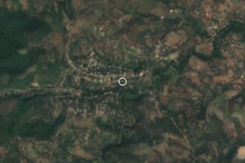

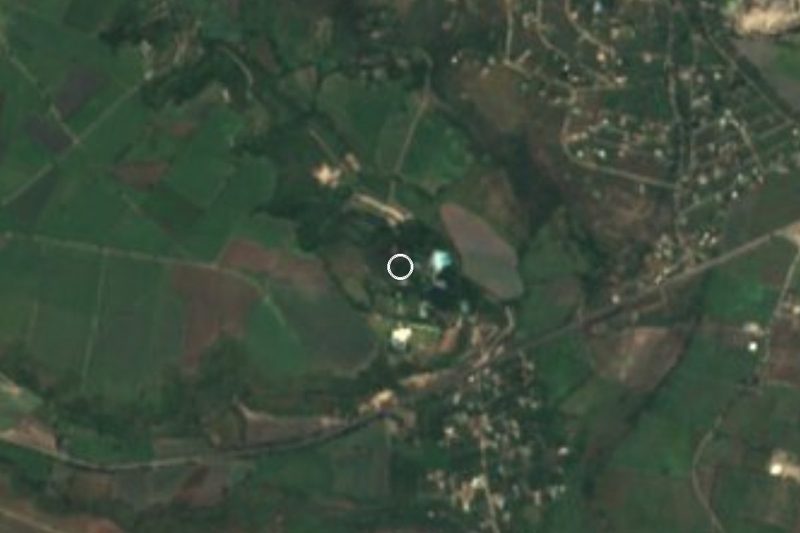



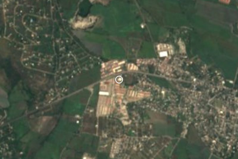
Drive times by road from OpenStreetMap, without traffic. Times marked ~ are estimated from the straight-line distance.
Location from OpenStreetMap. Written by Puebloteca.