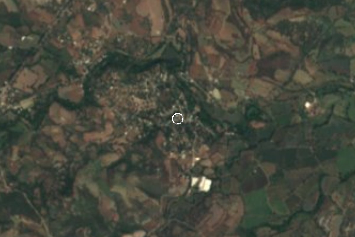
Village Amacuzac, Morelos Municipality of Amacuzac
Village in southern Morelos about 3 km from Amacuzac, at 916 m and 1,151 people, on Highway 95 toward Iguala.
From Taxco: 40 min by car (42 km by road) How to get there ↓
Near here
See everything nearby ↓



Plan your visit to Coahuixtla
Where to stay near Coahuixtla
Compare hotels, posadas and guest houses in Coahuixtla.
Tours to Coahuixtla
Day trips and guided outings from Taxco often include Coahuixtla; with a local guide you can get there without a car.
 Tours from Taxco
Taxco and Cuernavaca Tour from CDMX
★ 4.5 (11) · From US$61
How to get to Coahuixtla
- From Taxco: about 40 min by road (~42 km)
- Nearest airport: Toluca (TLC), 2 h by car to Taxco
Links open a partner site. We may earn a commission if you book, at no cost to you.
Tours from Taxco, near Coahuixtla


Tours, prices and ratings from Viator, checked weekly. We may earn a commission if you book.
About Coahuixtla
Coahuixtla sits at 916 metres above sea level in the municipality of Amacuzac. The 2020 census counted 1,151 people, which makes it the fifth largest of the municipality's 39 localities. The name is Nahuatl and is read as "bramble patch", the place where brambles grow thick. Until the mid twentieth century it was tiny: 105 people in 1940 and just 568 in 1960, and it has grown steadily since.
The village lies roughly 3 km south of the municipal seat, Amacuzac, among low hills of dry deciduous forest. To the southeast rises Cerro El Clarín at 1,171 m, and farther out Cerro El Jumilar and Cerro El Gigante, which already belong to the landscape of the Sierra de Huautla. Federal Highway 95 runs through the area and is the road toward Iguala; the exit list for Highway 91D even mentions a crossing at Coahuixtla.
Do not mix it up with the ex hacienda de Coahuixtla, the old sugar mill that Dominican friars built in 1587: that estate is in San Pedro Apatlaco, in Villa de Ayala, on the other side of the state. Here there are no registered hotels or restaurants; the nearest lodging is around San Gabriel las Palmas, 7 to 10 km away, and the town of Amacuzac covers the basics. It suits a stop on the way through and a look at everyday life in a southern Morelos village more than a long stay.
The neighbouring seat of Amacuzac does have history to visit: the Hacienda de San Gabriel, where Agustín de Iturbide and Vicente Guerrero met before the Plan of Iguala, and a church that Martín Cortés ceded land for in 1554 beside the road to Acapulco.
How to get to Coahuixtla
Drive from Taxco: 40 min, 42 km
By car from Cuernavaca: take the Autopista del Sol (95D) toward Acapulco and exit for Amacuzac; the seat is about 48 km from Cuernavaca by 95D or federal Highway 95, and about 136 km from Mexico City. At Amacuzac stay on Highway 95 toward Iguala: Coahuixtla is about 3 km from the seat, right beside that road. From Iguala it is about 31 km back along Highway 95, roughly 35 minutes (approx.). From Xochitepec, the nearest pueblo on our list, it is about 25 km as the crow flies and around 40 minutes by road (approx.).
By bus: from Terminal Sur (Taxqueña) in Mexico City or from Cuernavaca there is service toward Taxco on lines such as Estrella Blanca; get off at Amacuzac and take a local taxi or colectivo for the last stretch. We found no current colectivo schedules or fares for Coahuixtla, so ask on Amacuzac's plaza.
Directions to Coahuixtla on Google Maps
Distances are in a straight line; the road is usually longer.
Links open a partner site. We may earn a commission if you book, at no cost to you.
From the nearest cities to Coahuixtla
- Taxco · 42 km by road, 40 min
- Cuernavaca · 49 km by road, 40 min
- Iguala · 55 km by road, 50 min
Drive times by road from OpenStreetMap, without traffic or stops. Times marked ~ are estimated from the straight-line distance.
Visiting Coahuixtla: what to see and do
Walk the plaza and streets of the village, at 916 m with the sierra behind.
Look up at Cerro El Clarín, 1,171 m, to the southeast.
Visit the municipal seat, Amacuzac, about 3 km away, with its church beside the old road to Acapulco.
Call at the Hacienda de San Gabriel in the municipality, where Iturbide and Guerrero met.
See the Amacuzac River, which crosses the municipality, and ask in the seat how to reach it.
Plan your trip
Places to stay in Coahuixtla
Compare hotels, posadas, and rentals in and around Coahuixtla.
Tours & activities
Day trips and guided outings from Taxco often include Coahuixtla; with a local guide you can get there without a car.
Rental cars
Pick up a car at TLC (Toluca): about 2 h by road to Taxco, then 25 km more to Coahuixtla, on your own schedule.
Flights
The nearest airport with scheduled flights is Toluca (TLC), about 2 h by road from Taxco, the base for Coahuixtla.
Mobile data
Signal can drop away from Taxco: download a map of the way to Coahuixtla before you set out, or carry an eSIM with data.
Links open a partner site. We may earn a commission if you book, at no cost to you.
When to go to Coahuixtla mild
Coahuixtla shares the climate of Taxco, 25 km away. The best months to visit are January, February, March, and December.
See the month-by-month climate of Taxco
Weather in Coahuixtla now and the next 7 days
Live forecast from Open-Meteo. Chance of rain is the day's highest.
The closest Pueblo Mágico: Taxco

Taxco is the Pueblo Mágico closest to Coahuixtla, with places to stay, food, and more to see.
Also close to
- Xochitepec · Morelos · 25 km away
- Tlaltizapán · Morelos · 27 km away
- Tonatico · Estado de México · 41 km away
- Malinalco · Estado de México · 44 km away
- Ixtapan de la Sal · Estado de México · 44 km away
Closest to Coahuixtla
-
Casahuatlán · Village · 2 km away
-
Amacuzac · Town · 3 km away
-
Hacienda San Gabriel de las Palmas · Landmark · 5 km away
-
Huajintlán · Village · 7 km away
-
Puente de Ixtla · Town · 7 km away
-
El Estudiante · Village · 8 km away
-
Jardines de México · Landmark · 9 km away
-
Cuauchichinola · Village · 10 km away


Near Coahuixtla


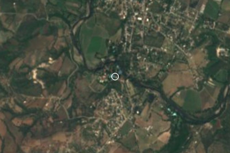


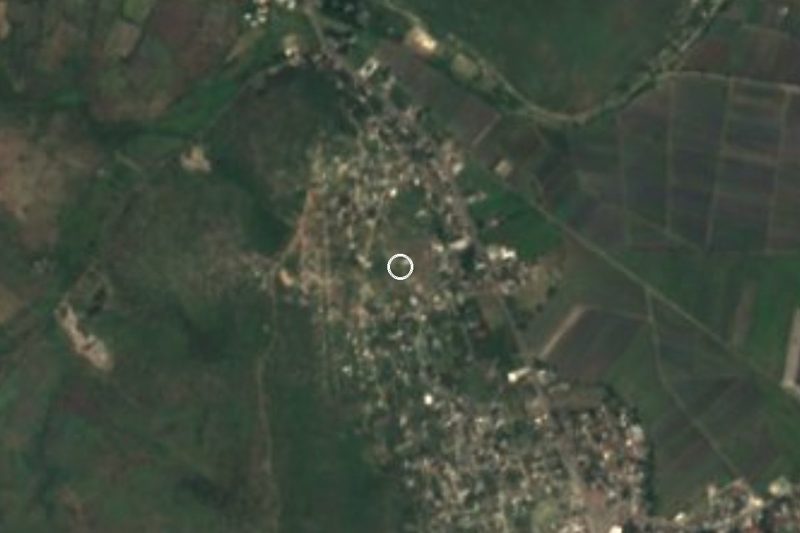


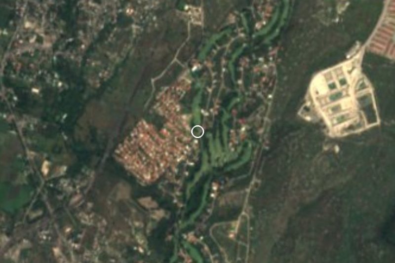
Drive times by road from OpenStreetMap, without traffic. Times marked ~ are estimated from the straight-line distance.
Location from OpenStreetMap. Written by Puebloteca.