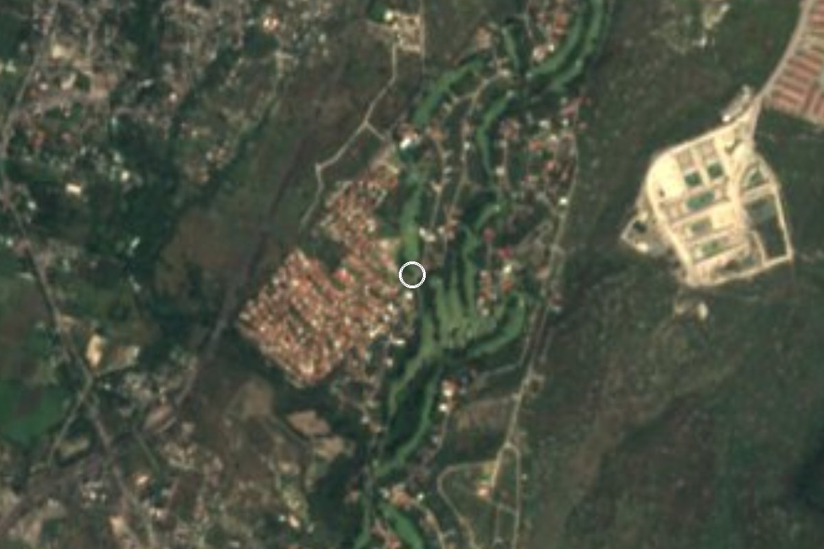
Village Xochitepec, Morelos Municipality of Xochitepec Southern Morelos
Xochitepec locality at 1,066 m, next to Alpuyeca, with 315 residents in 2020 and a warm semi-arid climate.
From Cuernavaca: 20 min by car (23 km by road) How to get there ↓
Near here
See everything nearby ↓




Plan your visit to Santa Fe
Where to stay near Santa Fe
Compare hotels, posadas and guest houses in Santa Fe.
Tours to Santa Fe
Day trips and guided outings from Xochitepec often include Santa Fe; with a local guide you can get there without a car.
 Tours from Cuernavaca
3hr Cooking Class in Cuernavaca 8 Recipes and Bottomless Drinks
From US$59
How to get to Santa Fe
- From Cuernavaca: about 20 min by road (~23 km)
- Nearest airport: Toluca (TLC), 1 h 59 min by car to Xochitepec
Links open a partner site. We may earn a commission if you book, at no cost to you.
Tours from Cuernavaca, near Santa Fe


Tours, prices and ratings from Viator, checked weekly. We may earn a commission if you book.
About Santa Fe
A little over a kilometre southeast of Alpuyeca, Santa Fe is a small locality in Xochitepec that has grown slowly: 205 residents in 2005, 297 in 2010 and 315 in 2020 (159 women and 156 men), living in 128 homes. It stands at 1,066 m above sea level. It ranks 18th by population among the municipality's 90 localities, and almost 67% of its people were born outside Morelos, a sign that many arrived from other states.
The climate is warm and semi-arid, unlike the mountain villages of northern Morelos: a mean of 23.1 °C, about 709 mm of rain a year and September the wettest month. January is the coolest month and May the hottest; the lowest recorded temperature was 6.7 °C in 1997 and the highest 40.9 °C in 2024. Nearly every home has electricity and piped water, and 85% have internet.
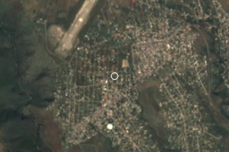
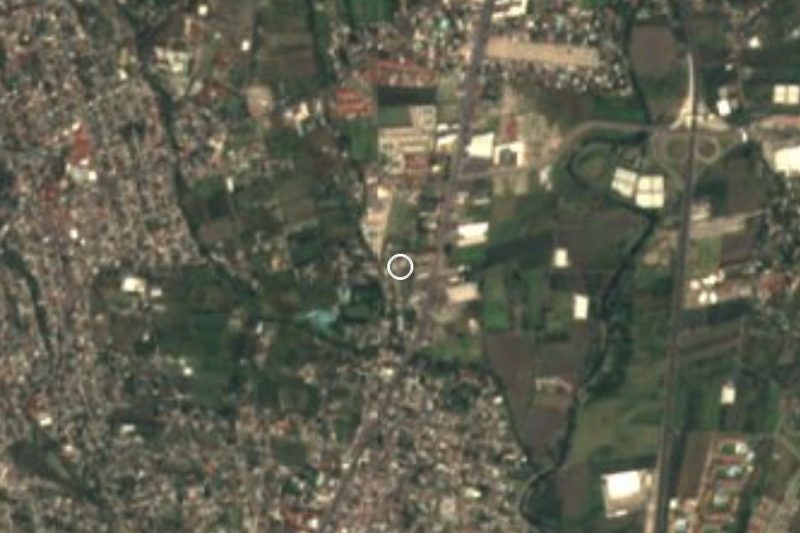
The surroundings are open farmland and low hills: Cerro El Nananche (1,251 m) is about 4 km east and La Corona (1,224 m) about 4 km northwest. Other settlements are close by: Alpuyeca, with more than 8,000 people, 1.3 km to the northwest; Real Santa Fe, 1.5 km to the south; and Colonia La Pintora, about 1.8 km away. Most shops and restaurants in the area are in Alpuyeca. Santa Fe itself has no registered lodging or sights of its own: it is a place to see everyday life in southern Morelos rather than a destination for an outing.
How to get to Santa Fe
Drive from Cuernavaca: 20 min, 23 km
Santa Fe is 1.3 km from Alpuyeca in southern Morelos and about 9 to 11 km from Xochitepec (roughly 10 minutes by car). Cuernavaca is about 21 km straight-line, around 25 to 30 minutes by road, and Tlaltizapán about 25 km. Alpuyeca sits on the Cuernavaca-Acapulco corridor (federal highway 95 and toll road 95D): from Mexico City take that highway south and exit at Alpuyeca; confirm the exit on a map.
From Terminal Sur in Taxqueña, Pullman de Morelos runs to Cuernavaca and Jojutla, and from there you look for local transport to Alpuyeca and Santa Fe. We found no public colectivo timetable to the village itself, so ask in Alpuyeca or take a taxi for the last kilometre.
Directions to Santa Fe on Google Maps
Distances are in a straight line; the road is usually longer.
Links open a partner site. We may earn a commission if you book, at no cost to you.
From the nearest cities to Santa Fe
- Cuernavaca · 23 km by road, 20 min
- Taxco · 61 km by road, 1 h 5 min
- Cuautla · 80 km by road, 1 h 5 min
Drive times by road from OpenStreetMap, without traffic or stops. Times marked ~ are estimated from the straight-line distance.
Visiting Santa Fe: what to see and do
Walk the streets of Santa Fe and take in everyday life in southern Morelos.
Walk 1.3 km to Alpuyeca for its restaurants and snack stands.
Look east: Cerro El Nananche is about 4 km away.
Continue to Xochitepec, about 9 km, for its centre and plaza.
Plan for heat: the annual mean is 23 °C and May averages 26 °C.
Plan your trip
Places to stay in Santa Fe
Compare hotels, posadas, and rentals in and around Santa Fe.
Tours & activities
Day trips and guided outings from Xochitepec often include Santa Fe; with a local guide you can get there without a car.
Rental cars
Pick up a car at TLC (Toluca): about 1 h 59 min by road to Xochitepec, then 10 km more to Santa Fe, on your own schedule.
Flights
The nearest airport with scheduled flights is Toluca (TLC), about 1 h 59 min by road from Xochitepec, the base for Santa Fe.
Mobile data
Signal can drop away from Xochitepec: download a map of the way to Santa Fe before you set out, or carry an eSIM with data.
Links open a partner site. We may earn a commission if you book, at no cost to you.
When to go to Santa Fe warm
Santa Fe shares the climate of Xochitepec, 10 km away. The best months to visit are January, February, November, and December.
See the month-by-month climate of Xochitepec
Weather in Santa Fe now and the next 7 days
Live forecast from Open-Meteo. Chance of rain is the day's highest.
The closest Pueblo Mágico: Xochitepec

Xochitepec is the Pueblo Mágico closest to Santa Fe, with places to stay, food, and more to see.
Also close to
- Tlaltizapán · Morelos · 12 km away
- Tepoztlán · Morelos · 32 km away
- Malinalco · Estado de México · 36 km away
- Tlayacapan · Morelos · 38 km away
- Taxco · Guerrero · 42 km away
Closest to Santa Fe
-
Alpuyeca · Village · 2 km away
-
Atlacholoaya · Village · 3 km away
-
Estadio Mariano Matamoros · Landmark · 5 km away
-
Villas de Xochitepec · Village · 5 km away
-
Xoxocotla · Village · 5 km away
-
Chiconcuac · Village · 7 km away
-
Parque Estatal Cerro de la Tortuga · Nature reserve · 7 km away
-
Ahuehuetzingo · Village · 8 km away
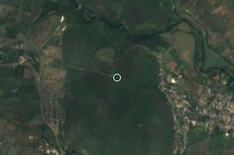

Near Santa Fe
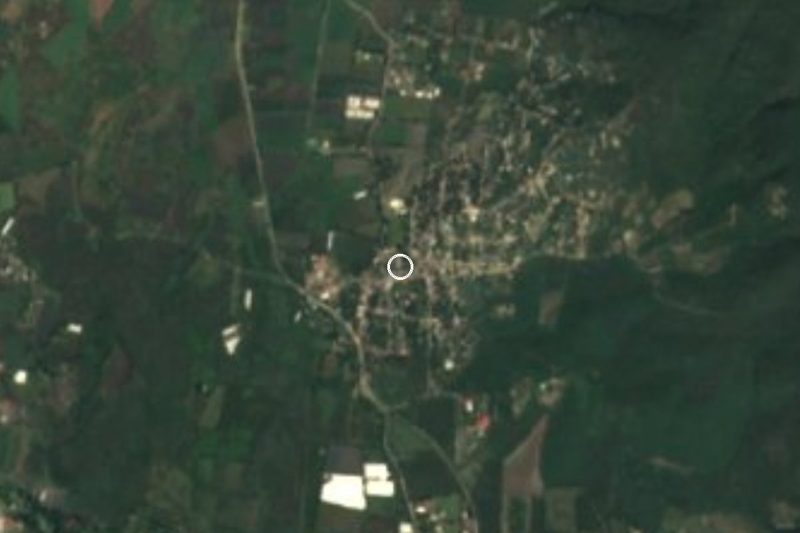


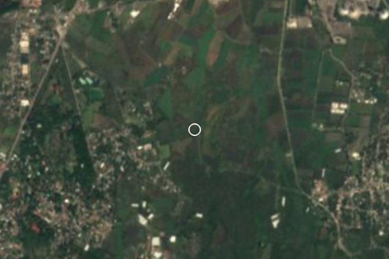


Drive times by road from OpenStreetMap, without traffic. Times marked ~ are estimated from the straight-line distance.
Location from OpenStreetMap. Written by Puebloteca.