

Village Xoxocotla, Morelos Southern Morelos
Nahua community of about 21,000 south of Cuernavaca; its own indigenous municipality since 2019, governed by uses and customs.
From Cuernavaca: 25 min by car (29 km by road) How to get there ↓
Near here
See everything nearby ↓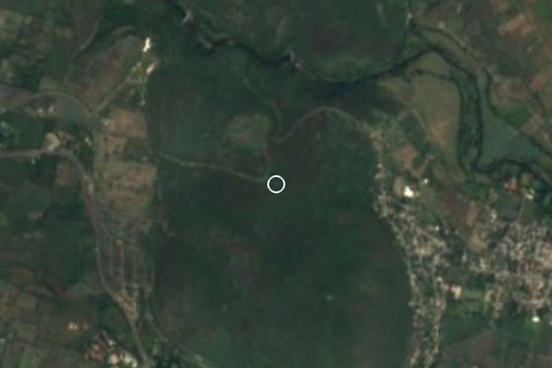

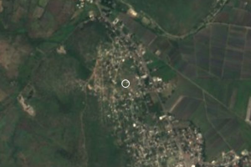


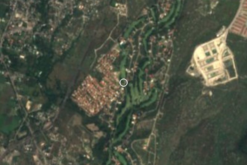
Plan your visit to Xoxocotla
Where to stay near Xoxocotla
Compare hotels, posadas and guest houses in Xoxocotla.
Tours to Xoxocotla
Day trips and guided outings from Tlaltizapán often include Xoxocotla; with a local guide you can get there without a car.
How to get to Xoxocotla
- From Cuernavaca: about 25 min by road (~29 km)
- Nearest airport: Mexico City (MEX), 1 h 55 min by car to Tlaltizapán
Links open a partner site. We may earn a commission if you book, at no cost to you.
About Xoxocotla
Xoxocotla is a Nahua community in southern Morelos, about 26 km south of Cuernavaca in a straight line. The name comes from Nahuatl and is usually translated as place of green pines (others read it as place of old pitch-pines). The 2010 census counted 21,074 people, and the whole municipality reported 28,640 in 2020. Its neighbours call its people "los xoxos", and the community keeps the language, song and dance of its Nahua roots.
For a long time it depended on other municipalities: in 1871 it was annexed to Puente de Ixtla, and later it belonged to Jojutla. It had to be evacuated in 1913 and 1914 because of Revolution fighting. On 1 January 2019 it became its own indigenous municipality, governed by uses and customs, alongside Coatetelco and Hueyapan, and since then it has had to settle public debt and boundaries with Puente de Ixtla, including 200 hectares in dispute at Shaya Michan. The Third Indigenous Book Fair was held here in 2016, and the community is twinned with Santa Ana Tlacotenco in Milpa Alta.
It is not a place of monuments: people come for the community, its festivals and its Holy Week, which researchers have studied since the 1960s, and for what lies nearby. Inside the locality is Acuaski, an action park for extreme sports with water skiing, kneeboarding and wakeboarding, plus BMX and enduro on land. With Lake Tequesquitengo and the spas of southern Morelos a short drive away, it works as one stop on a tour of the region.
How to get to Xoxocotla
Drive from Cuernavaca: 25 min, 29 km
Xoxocotla is in southern Morelos, about 26 km from Cuernavaca in a straight line. From Mexico City, take the Autopista del Sol (95D) toward Acapulco, pass Cuernavaca and exit at Alpuyeca; from there the road toward Puente de Ixtla and Jojutla leads to the Xoxocotla crossroads. Allow about 2 hours by car from the capital, depending on traffic, plus the toll.
By bus, Rome2Rio lists Pullman de Morelos from Cuernavaca (the Casino station) to Xoxocotla, about 40 minutes with very frequent departures. There is no direct bus from Mexico City: leave from the Central Sur (Tasqueña) terminal to Cuernavaca and change, about 2 h 30 min in all, approx. Tlaltizapán, the nearest pueblo on our list, is about 11 km away in a straight line; the hop between them is short, by taxi or combi along the regional road. Confirm times and fares with the line before you go.
Directions to Xoxocotla on Google Maps
Distances are in a straight line; the road is usually longer.
Links open a partner site. We may earn a commission if you book, at no cost to you.
From the nearest cities to Xoxocotla
- Cuernavaca · 29 km by road, 25 min
- Taxco · 57 km by road, 1 h
- Cuautla · 60 km by road, 1 h
Drive times by road from OpenStreetMap, without traffic or stops. Times marked ~ are estimated from the straight-line distance.
Visiting Xoxocotla: what to see and do
Walk the streets of the community, where Nahuatl is still spoken.
See Holy Week, the town's most studied celebration.
Try Acuaski park: water skiing, wakeboarding and kneeboarding, or BMX and enduro on land.
Watch for the Indigenous Book Fair, first held here in 2016.
Continue to Tlaltizapán, about 11 km away in a straight line, and add it to the day.
Head to Lake Tequesquitengo for time on the water.
Plan your trip
Places to stay in Xoxocotla
Compare hotels, posadas, and rentals in and around Xoxocotla.
Tours & activities
Day trips and guided outings from Tlaltizapán often include Xoxocotla; with a local guide you can get there without a car.
Rental cars
Pick up a car at MEX (Mexico City): about 1 h 55 min by road to Tlaltizapán, then 11 km more to Xoxocotla, on your own schedule.
Flights
The nearest airport with scheduled flights is Mexico City (MEX), about 1 h 55 min by road from Tlaltizapán, the base for Xoxocotla.
Mobile data
Signal can drop away from Tlaltizapán: download a map of the way to Xoxocotla before you set out, or carry an eSIM with data.
Links open a partner site. We may earn a commission if you book, at no cost to you.
When to go to Xoxocotla warm
Xoxocotla shares the climate of Tlaltizapán, 11 km away. The best months to visit are January, October, November, and December.
See the month-by-month climate of Tlaltizapán
Weather in Xoxocotla now and the next 7 days
Live forecast from Open-Meteo. Chance of rain is the day's highest.
The closest Pueblo Mágico: Tlaltizapán

Tlaltizapán is the Pueblo Mágico closest to Xoxocotla, with places to stay, food, and more to see.
Also close to
- Xochitepec · Morelos · 14 km away
- Tepoztlán · Morelos · 37 km away
- Taxco · Guerrero · 40 km away
- Malinalco · Estado de México · 40 km away
- Tlayacapan · Morelos · 41 km away
Closest to Xoxocotla
-
Parque Estatal Cerro de la Tortuga · Nature reserve · 3 km away
-
Hacienda San José Vista Hermosa · Landmark · 4 km away
-
San Antonio Chiverías · Village · 4 km away
-
Paracaidismo en Tequesquitengo · Landmark · 5 km away
-
Playa Ejidal Xoxocotla · Landmark · 5 km away
-
Santa Fe · Village · 5 km away
-
Alpuyeca · Village · 6 km away
-
San Nicolás Galeana · Village · 6 km away

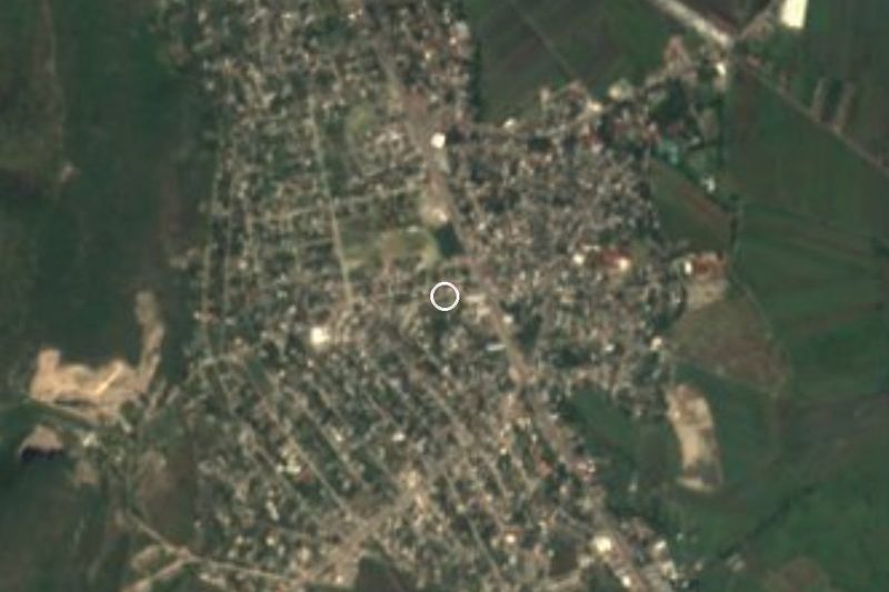
Near Xoxocotla


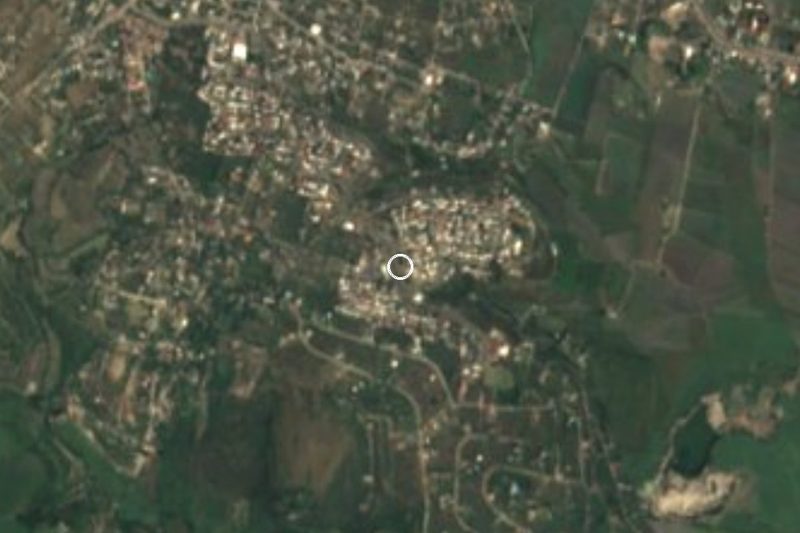
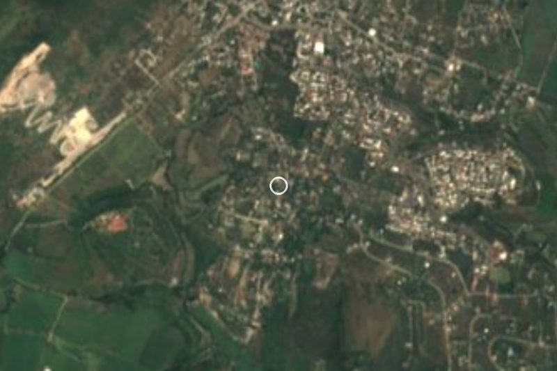


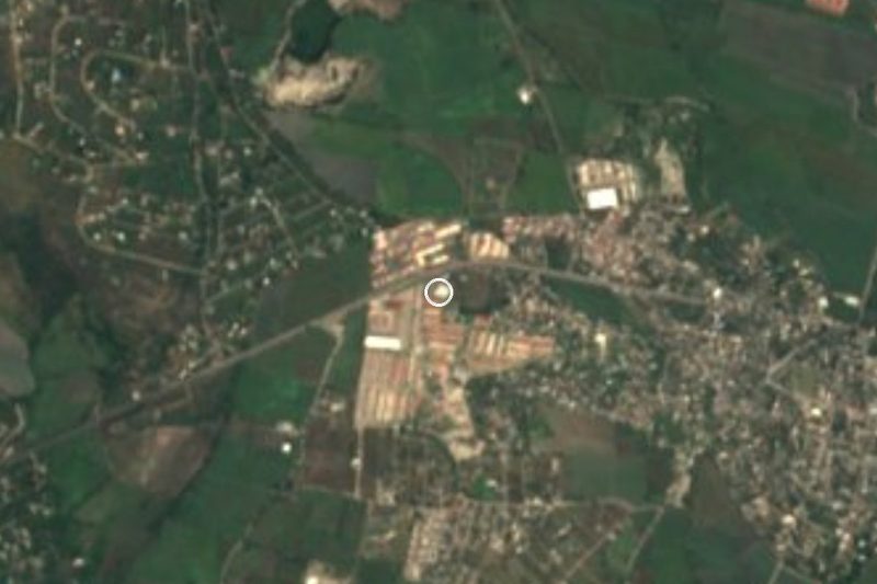


Drive times by road from OpenStreetMap, without traffic. Times marked ~ are estimated from the straight-line distance.
Location from OpenStreetMap. Written by Puebloteca.