


Village Jojutla, Morelos Municipality of Jojutla Southern Morelos
San Pedro Tehuixtla, on the Amacuzac: a sulphur-water spa, a nationally known rompope and the Virgen del Rosario fair each October.
From Cuernavaca: 40 min by car (46 km by road) How to get there ↓
Near here
See everything nearby ↓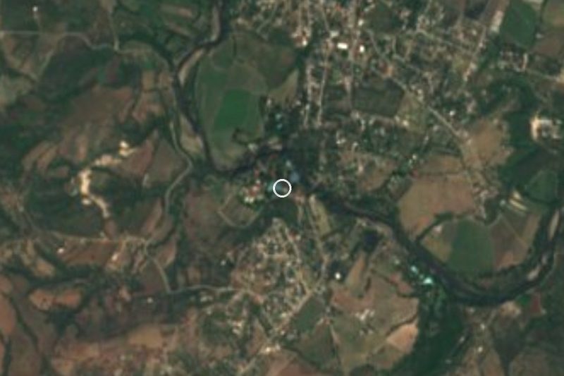


Plan your visit to Tehuixtla
Where to stay near Tehuixtla
Compare hotels, posadas and guest houses in Tehuixtla.
Tours to Tehuixtla
Day trips and guided outings from Tlaltizapán often include Tehuixtla; with a local guide you can get there without a car.
 Tours from Taxco
Taxco and Cuernavaca Tour from CDMX
★ 4.5 (11) · From US$61
How to get to Tehuixtla
- From Cuernavaca: about 40 min by road (~46 km)
- Nearest airport: Mexico City (MEX), 1 h 55 min by car to Tlaltizapán
Links open a partner site. We may earn a commission if you book, at no cost to you.
Tours from Taxco, near Tehuixtla


Tours, prices and ratings from Viator, checked weekly. We may earn a commission if you book.
About Tehuixtla
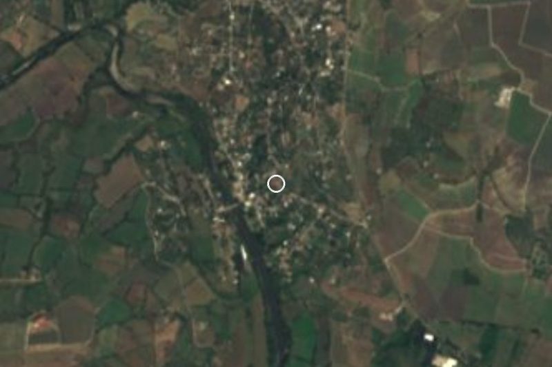
Tehuixtla, properly San Pedro Tehuixtla, belongs to the municipality of Jojutla in southern Morelos, at about 893 m above sea level beside the Amacuzac River. It had 6,311 residents in 2010; people live from farming, cattle and trade, and money sent home by Tehuixtla families in the United States counts for a lot. The name comes from Nahuatl: tetl (stone), huix (thorn) and tlan (place), roughly "place of stone-hard thorns".
The village is best known for its spa. The ISSSTEHuixtla recreation centre, formerly called La Fundición, has pools of sulphur water from a bubbling spring, more than 18,000 m² of lawns and gardens, water slides and a camping area. For much of the twentieth century visitors from all over Mexico filled the riverside restaurants along the Amacuzac, where Tehuixtla's rompope was sold, and the river and its hanging bridges, the "hamacas", were a film set for Mexican movies starring El Santo and Chabelo.
The parish of San Pedro Apóstol dates from the early seventeenth century; the present building went up in the eighteenth and has been remodelled several times, most heavily in 1950 and 1992. The big fiesta is the Virgen del Rosario on the first Sunday of October, even though the church is dedicated to St Peter. Local oral tradition says the first settlers lived on the other bank of the Amacuzac and crossed after a cholera epidemic, giving thanks to the Virgin.
To the north the village borders Tequesquitengo and Puente de Ixtla, and to the south Tilzapotla, a settlement that, according to Wikipedia, was founded on land Tehuixtla gave to "French" colonists.
How to get to Tehuixtla
Drive from Cuernavaca: 40 min, 46 km
By car from Mexico City, take the Mexico-Acapulco toll road (95D); about 15 km past the Alpuyeca toll booth, the turnoff for Tehuixtla and Tequesquitengo appears, and signs lead to the village and the spa (Avenida de la Fundición s/n, colonia Guadalupe). The drive from the capital is about two hours, depending on traffic.
By bus, leave from the Central del Sur (Terminal Taxqueña) for Jojutla. From the centre of Jojutla take Ruta 8 or a taxi to Tehuixtla. Jojutla is about 45 km from Cuernavaca.
Tehuixtla lies about 11 km west-southwest of Jojutla in a straight line; allow about 20 minutes by road. Tlaltizapán, the nearest pueblo in our guide, is about 20 km away in a straight line. All distances are estimates: check before you go, especially in high season.
Directions to Tehuixtla on Google Maps
Distances are in a straight line; the road is usually longer.
Links open a partner site. We may earn a commission if you book, at no cost to you.
From the nearest cities to Tehuixtla
- Cuernavaca · 46 km by road, 40 min
- Taxco · 56 km by road, 1 h
- Cuautla · 64 km by road, 1 h
Drive times by road from OpenStreetMap, without traffic or stops. Times marked ~ are estimated from the straight-line distance.
Before you go to Tehuixtla: hours, prices and tips
- Hours
- The ISSSTEHuixtla spa is open every day of the year, 9:00 to 18:00. Eje Central · checked Oct 2026
- Entry
- ISSSTEHuixtla entry for the general public is 131 pesos for adults; 69 pesos for children, students and INAPAM card holders (2025 rates). Eje Central · checked Oct 2026
- Best season
- The Virgen del Rosario fair is held on the first Sunday of October. Wikipedia (es) · checked Oct 2026
Hours and prices change, especially around holidays. Each fact links to where we checked it.
Visiting Tehuixtla: what to see and do
Take a dip in the sulphur-water pools at ISSSTEHuixtla.
Visit the parish church of San Pedro Apóstol and its square.
Try Tehuixtla rompope, the village's traditional drink.
Look for the Amacuzac River and its hanging bridges, the "hamacas".
Come on the first Sunday of October for the Virgen del Rosario fair.
Plan your trip
Places to stay in Tehuixtla
Compare hotels, posadas, and rentals in and around Tehuixtla.
Tours & activities
Day trips and guided outings from Tlaltizapán often include Tehuixtla; with a local guide you can get there without a car.
Rental cars
Pick up a car at MEX (Mexico City): about 1 h 55 min by road to Tlaltizapán, then 20 km more to Tehuixtla, on your own schedule.
Flights
The nearest airport with scheduled flights is Mexico City (MEX), about 1 h 55 min by road from Tlaltizapán, the base for Tehuixtla.
Mobile data
Signal can drop away from Tlaltizapán: download a map of the way to Tehuixtla before you set out, or carry an eSIM with data.
Links open a partner site. We may earn a commission if you book, at no cost to you.
Photos
When to go to Tehuixtla warm
Tehuixtla shares the climate of Tlaltizapán, 20 km away. The best months to visit are January, October, November, and December.
See the month-by-month climate of Tlaltizapán
Weather in Tehuixtla now and the next 7 days
Live forecast from Open-Meteo. Chance of rain is the day's highest.
The closest Pueblo Mágico: Tlaltizapán

Tlaltizapán is the Pueblo Mágico closest to Tehuixtla, with places to stay, food, and more to see.
Also close to
- Xochitepec · Morelos · 26 km away
- Taxco · Guerrero · 35 km away
- Tonatico · Estado de México · 50 km away
- Malinalco · Estado de México · 50 km away
- Tepoztlán · Morelos · 51 km away
Closest to Tehuixtla
-
Balneario ISSSTehuixtla · Hot springs · 1 km away
-
El Estudiante · Village · 3 km away
-
Puente de Ixtla · Town · 3 km away
-
Jardines de México · Landmark · 5 km away
-
Lago de Tequesquitengo · Lake · 6 km away
-
Marina del Sol · Landmark · 6 km away
-
Aqua Splash · Landmark · 7 km away
-
Jicarero · Village · 8 km away
Near Tehuixtla


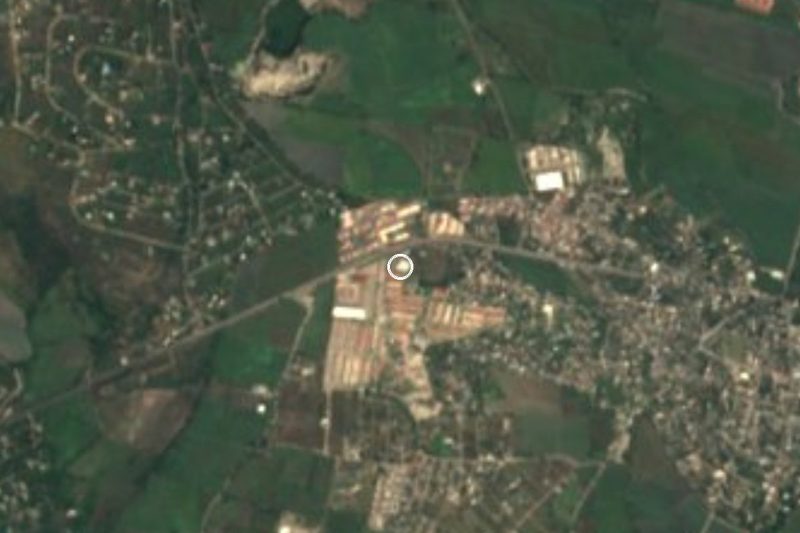
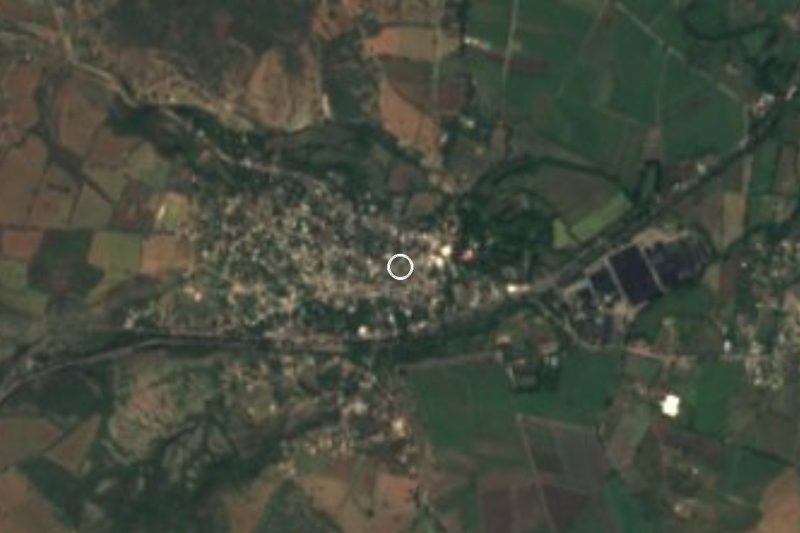



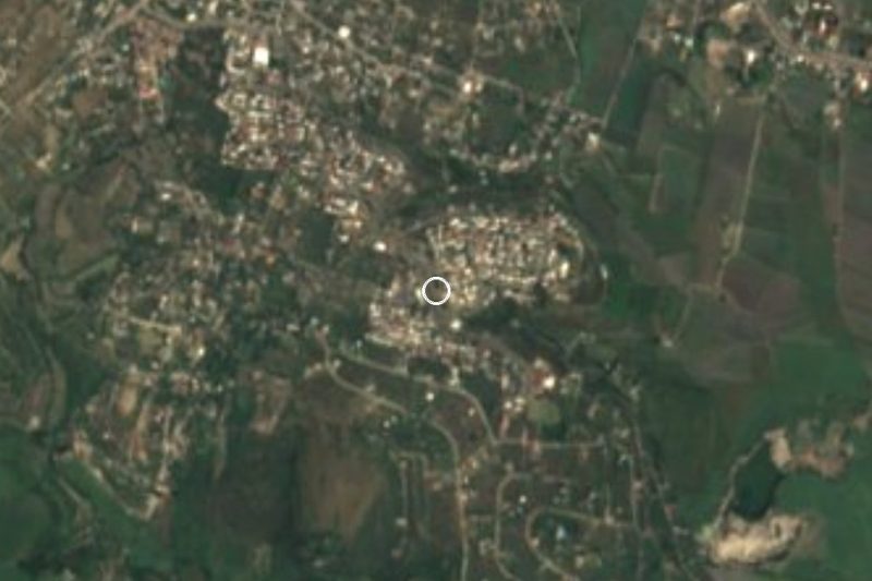

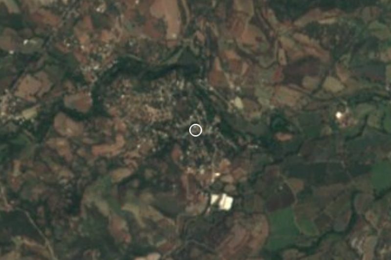
Drive times by road from OpenStreetMap, without traffic. Times marked ~ are estimated from the straight-line distance.
Location from OpenStreetMap. Written by Puebloteca.