Village Puente de Ixtla, Morelos Municipality of Puente de Ixtla
Puente de Ixtla's second-largest village: black zapote in its name, a ridge dropping from 2,280 to 1,000 m in 5 km, a dam and a chinelo carnival.
From Cuernavaca: 50 min by car (56 km by road) How to get there ↓
Near here
See everything nearby ↓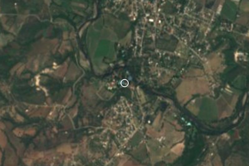



Plan your visit to Tilzapotla
Where to stay near Tilzapotla
Compare hotels, posadas and guest houses in Tilzapotla.
Tours to Tilzapotla
Day trips and guided outings from Tlaltizapán often include Tilzapotla; with a local guide you can get there without a car.
 Tours from Taxco
Taxco and Cuernavaca Tour from CDMX
★ 4.5 (11) · From US$61
How to get to Tilzapotla
- From Cuernavaca: about 50 min by road (~56 km)
- Nearest airport: Mexico City (MEX), 1 h 55 min by car to Tlaltizapán
Links open a partner site. We may earn a commission if you book, at no cost to you.
Tours from Taxco, near Tilzapotla


Tours, prices and ratings from Viator, checked weekly. We may earn a commission if you book.
About Tilzapotla
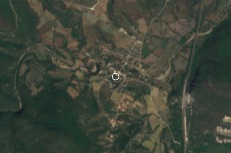
Tilzapotla means "place where black zapote is plentiful": tliltic is black, zapotl is zapote and tlan marks abundance. With 4,932 residents in 2020 and an elevation of about 1,014 metres, it is the second most populous locality in the municipality of Puente de Ixtla, after the seat itself. Its growth came late: the 1900 census counted 634 people, 1960 already 2,595, and 1980 reached 4,729, a figure it has hovered around since.
Little is known of its origins. A reference on Tehuixtla says that village granted land to a colony of "French" settlers, perhaps Basque-descended criollos, to populate Tilzapotla, now an independent village. Marciano Silva, the singer of the Zapatistas, was born here in 1849: he enlisted in 1912, was left disabled in combat and spent the war writing and singing, in the camps, ballads about the Zapatista commanders, though he always lived in Tlaltizapán, where his parents worked.
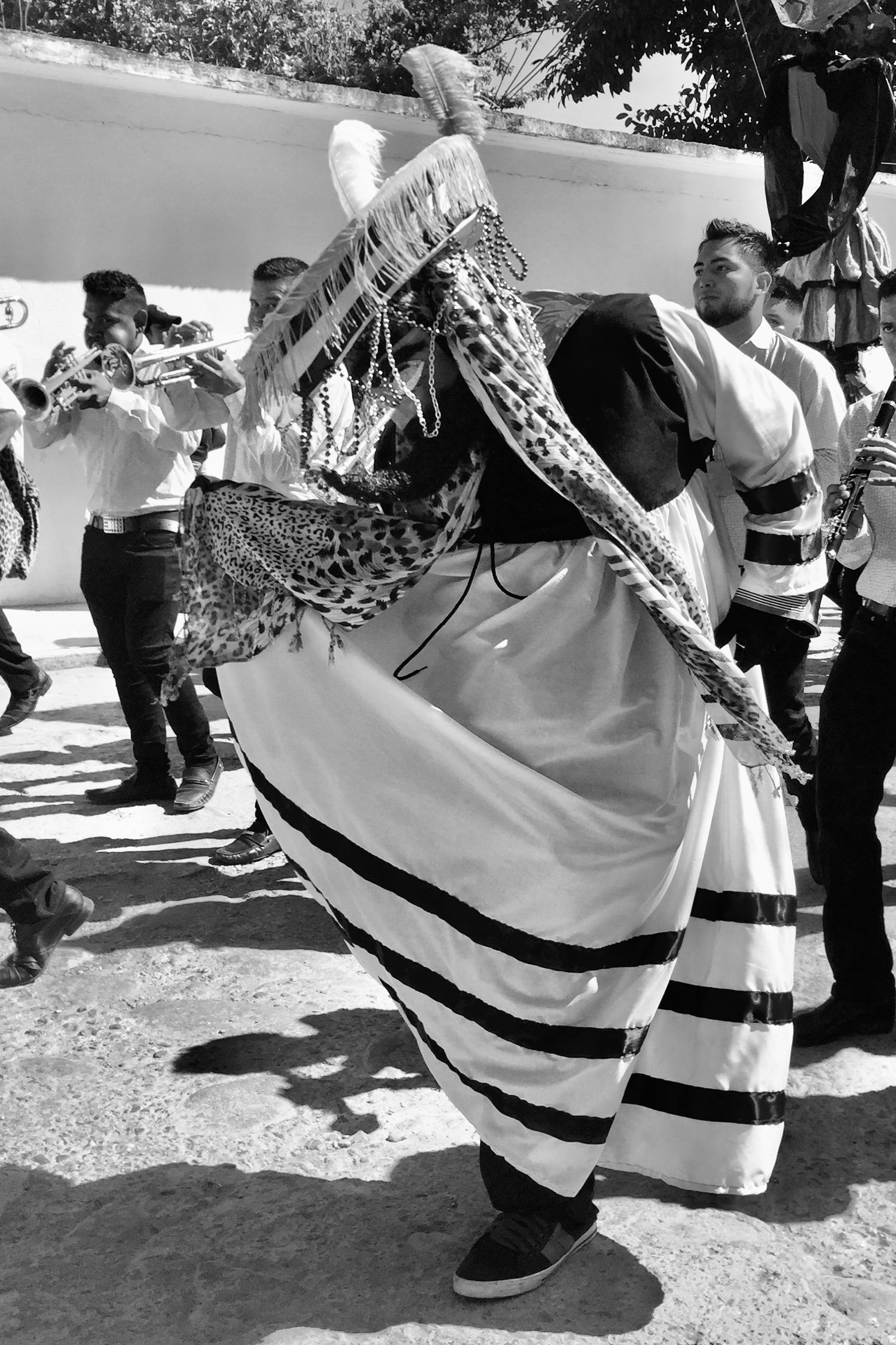
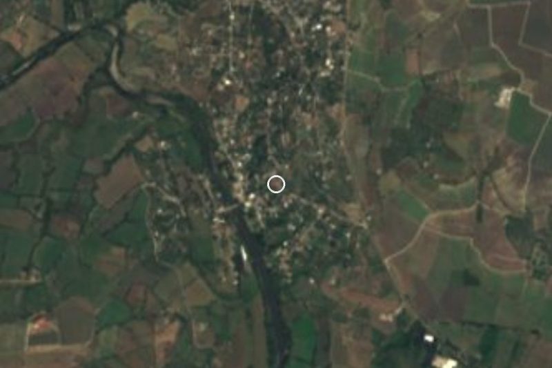
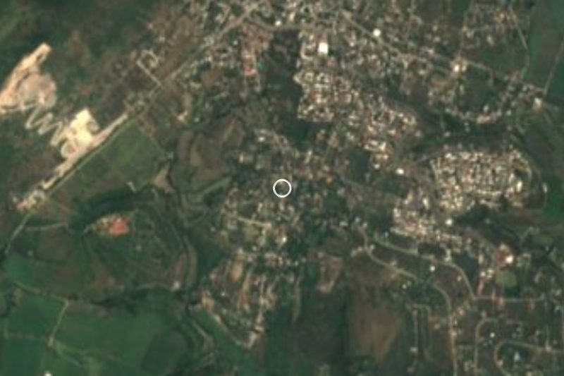
The terrain is the striking part. The sierras of Tilzapotla and Huautla start to the south, and the profile from Cerro Frío to Tilzapotla drops from 2,280 to 1,000 metres in just 5 km, a gradient the source itself singles out (256 m per km). A bromeliad, Hechtia montis-frigidi, was described from a spot a kilometre from Guerrero and is so far known only from this corner. In the municipality, the Presa Emiliano Zapata reservoir lies at Tilzapotla. A 2020 Wiki Loves México photograph shows a chinelo dancing to the village band during its carnival.
How to get to Tilzapotla
Drive from Cuernavaca: 50 min, 56 km
From Cuernavaca it is about 54 km and nearly 50 minutes. Take toll motorway 95D toward Acapulco to the Xoxocotla exit, follow the Xoxocotla–Tilzapotla road (MOR 6) and continue toward Tehuixtla; from there the state road Tehuixtla–Tilzapotla (Avenida Tilzapotla) leads to the village, with the last kilometres on the MOR 6. From the municipal seat, Puente de Ixtla, it is about 20 km and 20 minutes via Tehuixtla.
By bus, Pullman de Morelos runs services to Tilzapotla from the Taxqueña terminal in Mexico City, and also to Tehuixtla, Puente de Ixtla and Jojutla, from where you can continue on local transport. We found no published collectivo timetable between Tehuixtla and Tilzapotla, so ask at the terminal.
Directions to Tilzapotla on Google Maps
Distances are in a straight line; the road is usually longer.
Links open a partner site. We may earn a commission if you book, at no cost to you.
From the nearest cities to Tilzapotla
- Cuernavaca · 56 km by road, 50 min
- Taxco · 66 km by road, 1 h 10 min
- Cuautla · 73 km by road, 1 h 10 min
Drive times by road from OpenStreetMap, without traffic or stops. Times marked ~ are estimated from the straight-line distance.
Visiting Tilzapotla: what to see and do
Carnival with chinelos and the village brass band
Presa Emiliano Zapata, the municipality's permanent body of water, at Tilzapotla
The sierra to the south, falling from 2,280 to 1,000 m between Cerro Frío and the village
Surrounding tropical dry forest, with ceiba, casahuate and tabachín trees
Plan your trip
Places to stay in Tilzapotla
Compare hotels, posadas, and rentals in and around Tilzapotla.
Tours & activities
Day trips and guided outings from Tlaltizapán often include Tilzapotla; with a local guide you can get there without a car.
Rental cars
Pick up a car at MEX (Mexico City): about 1 h 55 min by road to Tlaltizapán, then 26 km more to Tilzapotla, on your own schedule.
Flights
The nearest airport with scheduled flights is Mexico City (MEX), about 1 h 55 min by road from Tlaltizapán, the base for Tilzapotla.
Mobile data
Signal can drop away from Tlaltizapán: download a map of the way to Tilzapotla before you set out, or carry an eSIM with data.
Links open a partner site. We may earn a commission if you book, at no cost to you.
When to go to Tilzapotla warm
Tilzapotla shares the climate of Tlaltizapán, 26 km away. The best months to visit are January, October, November, and December.
See the month-by-month climate of Tlaltizapán
Weather in Tilzapotla now and the next 7 days
Live forecast from Open-Meteo. Chance of rain is the day's highest.
The closest Pueblo Mágico: Tlaltizapán

Tlaltizapán is the Pueblo Mágico closest to Tilzapotla, with places to stay, food, and more to see.
Also close to
- Xochitepec · Morelos · 34 km away
- Taxco · Guerrero · 36 km away
- Tonatico · Estado de México · 54 km away
- Ixcateopan · Guerrero · 55 km away
- Malinalco · Estado de México · 56 km away
Closest to Tilzapotla
-
Balneario ISSSTehuixtla · Hot springs · 6 km away
-
Tehuixtla · Village · 8 km away
-
Puente de Ixtla · Town · 9 km away
-
El Estudiante · Village · 10 km away
-
Coaxitlán · Village · 11 km away
-
Jardines de México · Landmark · 13 km away
-
Marina del Sol · Landmark · 13 km away
-
Aqua Splash · Landmark · 14 km away

Near Tilzapotla







Drive times by road from OpenStreetMap, without traffic. Times marked ~ are estimated from the straight-line distance.
Location from OpenStreetMap. Written by Puebloteca.