Town Amacuzac, Morelos Municipality of Amacuzac Southern Morelos
Riverside seat in hot southern Morelos: river beaches, rafting near Huajintlán and the Zoofari safari park at Teacalco, 11 km away.
From Cuernavaca: 35 min by car (45 km by road) How to get there ↓
Near here


Plan your visit to Amacuzac
Where to stay near Amacuzac
Compare hotels, posadas and guest houses in Amacuzac.
Tours to Amacuzac
Day trips around Xochitepec sometimes stop in Amacuzac; a tour is the easy way to see it without a car.
 Tours from Taxco
Taxco and Cuernavaca Tour from CDMX
★ 4.5 (11) · From US$61
How to get to Amacuzac
- From Cuernavaca: about 35 min by road (~45 km)
- Nearest airport: Toluca (TLC), 1 h 59 min by car to Xochitepec
Links open a partner site. We may earn a commission if you book, at no cost to you.
Tours from Taxco, near Amacuzac


Tours, prices and ratings from Viator, checked weekly. We may earn a commission if you book.
About Amacuzac
Amacuzac is usually read as "in the river of the yellow amates", from the Nahuatl amatl (amate fig), cuztic (yellow), atl (water) and co (place). The river it is named after runs through town, and its banks form natural beaches where people swim. The municipal seat, at about 900 m with 5,575 people in 2020, lives from farming and trade: sugarcane, sorghum, maize and mangoes.
Remains found here go back more than 3,000 years, to Olmec times. The Tlahuica settled the area, and from around 1430 it was subject to the lordship of Cuauhnáhuac under Mexica rule. In colonial times it belonged to Cortés's Marquessate of the Valley, and locals ferried travellers across the river in small boats at the crossing called El Balseadero. An epidemic nearly wiped the town out in the mid-19th century, and Aniceto Aranda refounded it in 1853. The municipality was created on 13 May 1868, while still part of the State of Mexico, and in 1891 the agreement setting the border with Guerrero along the Ocotlán ridge was signed here.
San Gabriel Las Palmas, 4.3 km away, has a hacienda founded by Martín Cortés that served as Iturbide's headquarters during the War of Independence and Zapata's during the Revolution; it is now a hotel with a museum. At Teacalco, 11 km away, the Zoofari safari park, open since 1984, keeps some 1,500 animals of about 130 species, most seen from your car. Upriver at Huajintlán, the upper Amacuzac has class 1 and 2 rapids suited to families, and the municipality reaches into the Sierra de Huautla Biosphere Reserve.
How to get to Amacuzac
Drive from Cuernavaca: 35 min, 45 km
Federal Highway 95, the free Cuernavaca-Iguala road, runs through Amacuzac, which is about 48 km from Cuernavaca and 136 km from Mexico City. On the toll road from Cuernavaca, take the Autopista del Sol (95D) to the Puente de Ixtla junction, follow the turn-off towards Alpuyeca to km 133 and take the exit for Amacuzac: about 61 km that way. By bus, Pullman de Morelos runs from Mexico City's Central del Sur (Taxqueña), about 2 h 30 min; from Cuernavaca's Casino terminal, Pullman de Morelos goes to Jojutla, where you change. Xochitepec is about 23 km away in a straight line, and Iguala, in Guerrero, about 33 km.
Directions to Amacuzac on Google Maps
Distances are in a straight line; the road is usually longer.
Links open a partner site. We may earn a commission if you book, at no cost to you.
From the nearest cities to Amacuzac
- Cuernavaca · 45 km by road, 35 min
- Taxco · 43 km by road, 40 min
- Iguala · 56 km by road, 50 min
Drive times by road from OpenStreetMap, without traffic or stops. Times marked ~ are estimated from the straight-line distance.
What to see in Amacuzac 1
Sights with their own page, closest to the centre first.
-
Hacienda San Gabriel de las Palmas · Landmark · 3 km from the centre
Former sugar hacienda in Amacuzac, now a boutique hotel with a spa, gardens and wedding halls beside San Gabriel church.
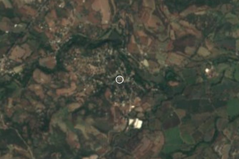
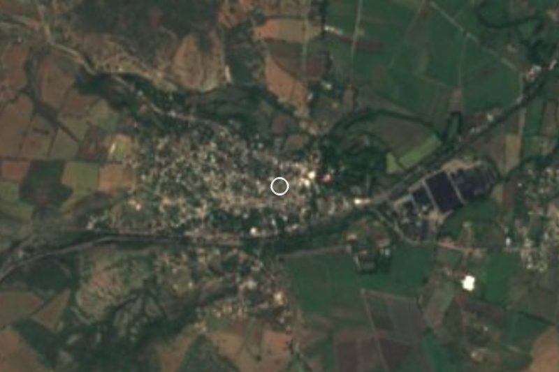
Map of Amacuzac
Neighbourhoods and villages of Amacuzac
Part of Amacuzac or just outside it, closest first.
-
Coahuixtla · Village · 3 km from the centre
Village in southern Morelos about 3 km from Amacuzac, at 916 m and 1,151 people, on Highway 95 toward Iguala. -
Casahuatlán · Village · 4 km from the centre
Village in Amacuzac at 949 m on the Río Salado; the Nahuatl name means where the cazahuate tree abounds. 1,915 people in 2020.
Day trips and tours from Amacuzac
The closest Pueblos Mágicos and places to visit, with the drive from Amacuzac and tours that leave from it.



Times marked ~ are estimated from the distance. Links open a partner site. We may earn a commission if you book, at no cost to you.
Before you go: getting to and around Amacuzac
- The nearest airport is Toluca (TLC).
- The best months to go are January, February, November, and December.
- 1 of the places on this page is more than 3 km from the centre: take a taxi, a ride-hailing app or a local bus.
- For day trips a rental car gives the most freedom; the tours above leave from Amacuzac.
Before you go to Amacuzac: hours, prices and tips
- Best season
- The feast of San Gabriel Arcángel starts on 24 March and lasts a week; the Ocotepec neighbourhood brings its image of the Virgen de la Candelaria. Wikipedia · checked Oct 2026
Hours and prices change, especially around holidays. Each fact links to where we checked it.
Visiting Amacuzac: what to see and do
Swim from the natural river beaches of the Amacuzac in town.
Visit the former hacienda of San Gabriel Las Palmas, now a hotel with a museum, 4.3 km away.
Drive through the Zoofari safari park at Teacalco, 11 km away.
Try family rafting on the upper Amacuzac near Huajintlán.
Come for the feast of San Gabriel Arcángel, starting 24 March.
Head into the Sierra de Huautla to see the dry forest.
Plan your trip
Places to stay in Amacuzac
Compare hotels, posadas, and rentals in and around Amacuzac.
Tours & activities
Day trips around Xochitepec sometimes stop in Amacuzac; a tour is the easy way to see it without a car.
Rental cars
Pick up a car at TLC (Toluca): about 1 h 59 min by road to Xochitepec, then 23 km more to Amacuzac, on your own schedule.
Flights
The nearest airport with scheduled flights is Toluca (TLC), about 1 h 59 min by road from Xochitepec, the base for Amacuzac.
Mobile data
Signal can drop away from Xochitepec: download a map of the way to Amacuzac before you set out, or carry an eSIM with data.
Links open a partner site. We may earn a commission if you book, at no cost to you.
When to go to Amacuzac warm
Amacuzac shares the climate of Xochitepec, 23 km away. The best months to visit are January, February, November, and December.
See the month-by-month climate of Xochitepec
Weather in Amacuzac now and the next 7 days
Live forecast from Open-Meteo. Chance of rain is the day's highest.
The closest Pueblo Mágico: Xochitepec

Xochitepec is the Pueblo Mágico closest to Amacuzac, with places to stay, food, and more to see.
Also close to
- Taxco · Guerrero · 25 km away
- Tlaltizapán · Morelos · 26 km away
- Tonatico · Estado de México · 39 km away
- Malinalco · Estado de México · 41 km away
- Ixtapan de la Sal · Estado de México · 42 km away
Near Amacuzac


Drive times by road from OpenStreetMap, without traffic. Times marked ~ are estimated from the straight-line distance.
Location from OpenStreetMap. Written by Puebloteca.