


Village Coatlán del Río, Morelos Municipality of Coatlán del Río Southern Morelos
Hamlet of 333 people in the Coatlán del Río municipality, at 1,121 m, in dry country between Apancingo and Contlalco near the Tetecala road.
From Taxco: 45 min by car (41 km by road) How to get there ↓
Near here
See everything nearby ↓


Plan your visit to Benito Juárez
Where to stay near Benito Juárez
Compare hotels, posadas and guest houses in Benito Juárez.
Tours to Benito Juárez
Day trips and guided outings from Taxco often include Benito Juárez; with a local guide you can get there without a car.
 Private Transportation from Benito Juarez Airport CDMX to Puebla
★ 5.0 (1) · From US$175
How to get to Benito Juárez
- From Taxco: about 45 min by road (~41 km)
- Nearest airport: Toluca (TLC), 2 h by car to Taxco
Links open a partner site. We may earn a commission if you book, at no cost to you.
Popular tours to Benito Juárez


Tours, prices and ratings from Viator, checked weekly. We may earn a commission if you book.
About Benito Juárez
This Benito Juárez is a small locality in the municipality of Coatlán del Río, in western Morelos, and should not be confused with the Mexico City borough or with other towns of the same name. It had 333 residents in 2020 (319 in 2010), all with electricity and piped water, and sits at 1,121 m above sea level, about 9 km in a straight line south of the municipal seat, Coatlán del Río.
The landscape is semi-arid, with dry scrub and bare hills. Climate data for 1970 to 2025 classify it as semi-arid, with a mean annual temperature of 23.1 °C and about 815 mm of rain a year. Hills around include Temasol (1,496 m), 5.3 km west, and the Jumil (1,337 m) and Cerro de Enmedio (1,249 m) to the east, along with a string of neighbouring villages: Contlalco, under 1 km to the southeast, and Apancingo, 2 km to the northwest, with 546 people and a plaza of its own. Farther out are San José el Potrero, Santa Teresa and Teacalco.
Wikipedia's list of fiestas for the municipality names a Colonia Benito Juárez with celebrations on 11 to 15 November (San Martín de Porres, with chinelos, a mojiganga and rodeo) and on 8 December (the Immaculate Conception); it probably means this place, though the source does not say so. There are no hotels in the village: the nearest listed in directories, the Hotel y Restaurante Bugambilias, is about 5 km north. It is a place to see everyday rural life in western Morelos rather than for a long stay.
How to get to Benito Juárez
Drive from Taxco: 45 min, 41 km
The village is about 9 km in a straight line south of Coatlán del Río, the municipal seat, and about 47 km from Cuernavaca by road (roughly 50 min, Rome2rio's estimate to Coatlán del Río). From Cuernavaca, Pullman de Morelos runs to Coatlán del Río about every 4 hours; from there you need a taxi or a colectivo to Benito Juárez, and it is wise to ask about times in the seat, since we found no published service. The new road to Tetecala runs nearby, photographed at the Contlalco junction about 2 km from the village. Taxco is about 32 km to the southwest, roughly 30 min by car according to the Pueblos América directory, and Iguala about 36 km away in a straight line, around 40 min. There is no lodging in the village; the closest is about 5 km away.
Directions to Benito Juárez on Google Maps
Distances are in a straight line; the road is usually longer.
Links open a partner site. We may earn a commission if you book, at no cost to you.
From the nearest cities to Benito Juárez
- Taxco · 41 km by road, 45 min
- Cuernavaca · 57 km by road, 55 min
- Iguala · 72 km by road, 1 h 10 min
Drive times by road from OpenStreetMap, without traffic or stops. Times marked ~ are estimated from the straight-line distance.
Before you go to Benito Juárez: hours, prices and tips
- Best season
- Temperate to hot semi-arid climate: mean 23.1 °C and about 815 mm of rain a year (1970 to 2025 data). Pueblos América · checked Oct 2026
Hours and prices change, especially around holidays. Each fact links to where we checked it.
Visiting Benito Juárez: what to see and do
Walk the village streets and look at the dry scrub around them.
Head on to Contlalco, under 1 km southeast.
Visit the plaza of Apancingo, 2 km northwest.
Pick out the surrounding hills: Temasol to the west, the Jumil and Cerro de Enmedio to the east.
Come for the fiestas of 11 to 15 November and 8 December, with chinelos and a mojiganga.
Plan your trip
Places to stay in Benito Juárez
Compare hotels, posadas, and rentals in and around Benito Juárez.
Tours & activities
Day trips and guided outings from Taxco often include Benito Juárez; with a local guide you can get there without a car.
Rental cars
Pick up a car at TLC (Toluca): about 2 h by road to Taxco, then 20 km more to Benito Juárez, on your own schedule.
Flights
The nearest airport with scheduled flights is Toluca (TLC), about 2 h by road from Taxco, the base for Benito Juárez.
Mobile data
Signal can drop away from Taxco: download a map of the way to Benito Juárez before you set out, or carry an eSIM with data.
Links open a partner site. We may earn a commission if you book, at no cost to you.
Photos
When to go to Benito Juárez mild
Benito Juárez shares the climate of Taxco, 20 km away. The best months to visit are January, February, March, and December.
See the month-by-month climate of Taxco
Weather in Benito Juárez now and the next 7 days
Live forecast from Open-Meteo. Chance of rain is the day's highest.
The closest Pueblo Mágico: Taxco

Taxco is the Pueblo Mágico closest to Benito Juárez, with places to stay, food, and more to see.
Also close to
- Xochitepec · Morelos · 21 km away
- Tonatico · Estado de México · 28 km away
- Ixtapan de la Sal · Estado de México · 31 km away
- Malinalco · Estado de México · 32 km away
- Tlaltizapán · Morelos · 33 km away
Closest to Benito Juárez
-
Contlalco · Village · 1 km away
-
Apancingo · Village · 2 km away
-
Michapa · Village · 5 km away
-
Grutas de Cacahuamilpa · Cave · 6 km away
-
Chavarría · Village · 7 km away
-
Huajintlán · Village · 7 km away
-
Cuauchichinola · Village · 8 km away
-
Tilancingo · Village · 8 km away


Near Benito Juárez


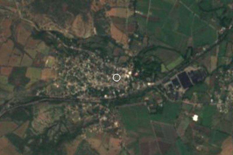

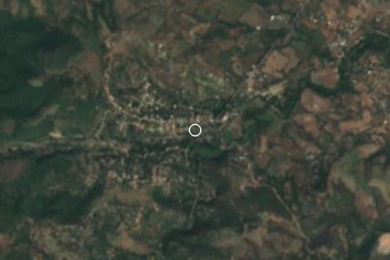
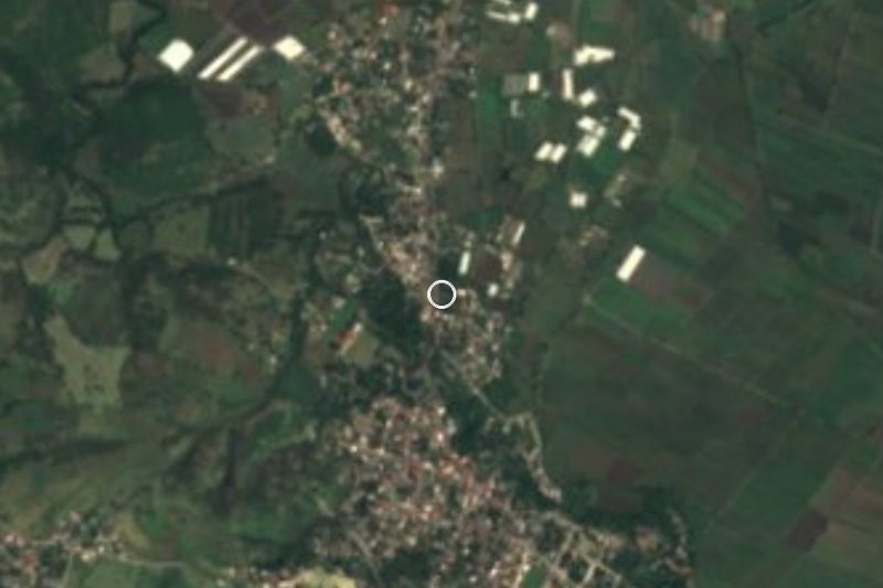

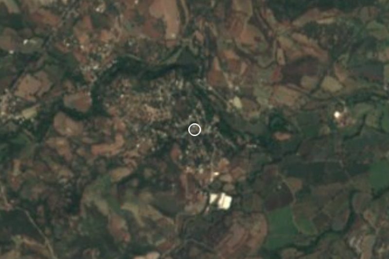


Drive times by road from OpenStreetMap, without traffic. Times marked ~ are estimated from the straight-line distance.
Location from OpenStreetMap. Written by Puebloteca.